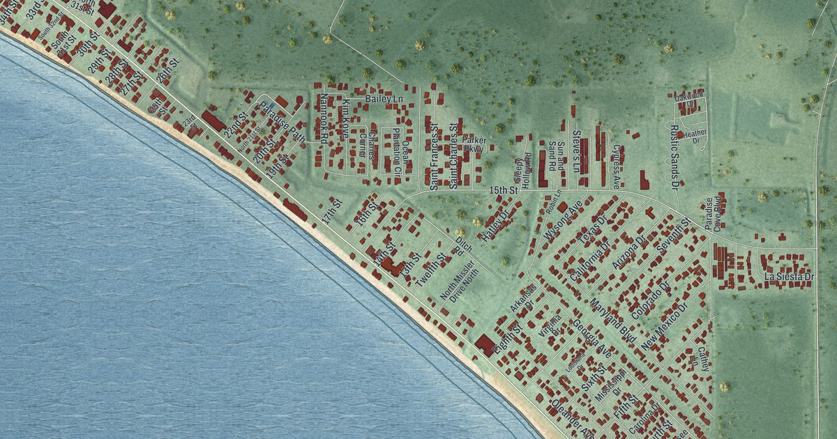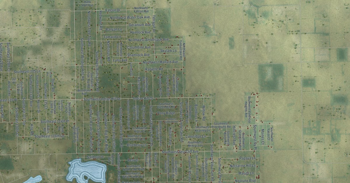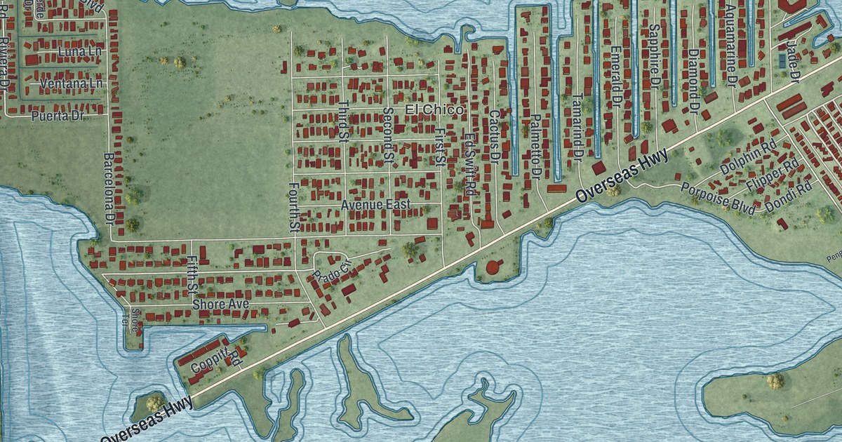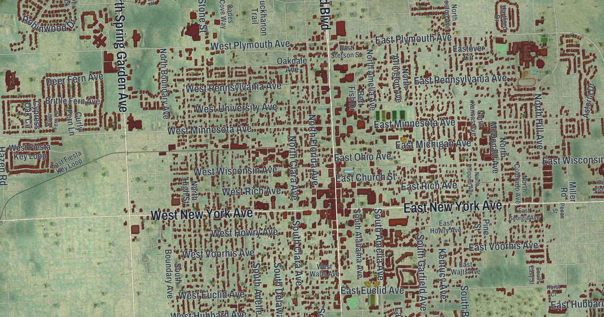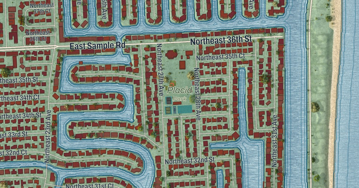
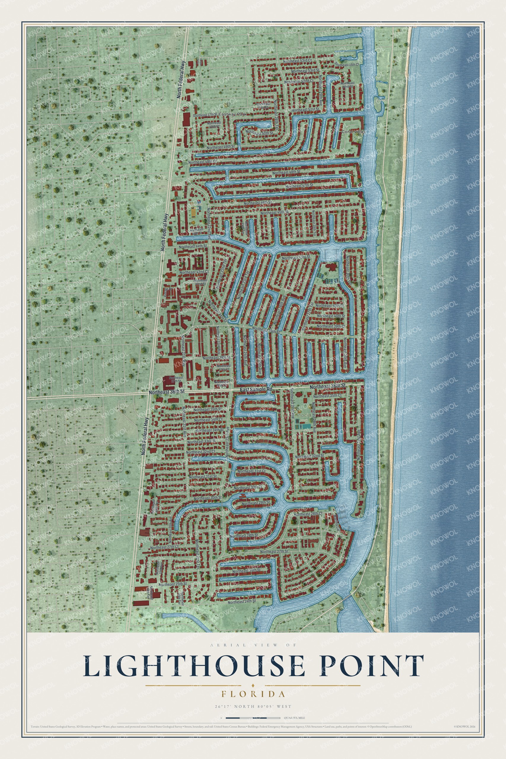
This beautifully detailed map of Lighthouse Point, Florida was created in 2026 using aerial imagery combined with modern topographical, census, street and landmark data. It’s a one-of-a-kind view of Lighthouse Point that combines accurate data with a vintage aesthetic. The map shows every building in its true location, many of the roads carry their names, and the shaded topographic relief shows the shape of the land.
Explore an aerial view of Lighthouse Point, Florida
On the map you’ll find Dan Witt Park, Placid Park, Coral Villas, and Eastway Park, along with North Federal Highway, East Sample Road, Northeast 36th Street, Marina Circle, Northeast 26th Terrace, Northeast 30th Avenue, Northeast 24th Street, Northeast 50th Street, and more. If you look closely you can even find your house accurately drawn in its correct location. Zoom in on the preview to look for yours.
Did You Know?
The city took its name from the Hillsboro Inlet Lighthouse, which stands just across the Intracoastal Waterway. Most of the city was built on canals dug in the 1950s and 1960s. That gave many homes a waterfront, and boating and fishing became popular. Through the inlet, boats can reach Bimini in the Bahamas within 40 miles.
Take a closer look at the Lighthouse Point map
Names on this map
These names are printed on this map.
Places: Dan Witt Park, Placid Park, Coral Villas and Eastway Park.
Streets and roads: North Federal Highway, East Sample Road, Northeast 36th Street, Marina Circle, Northeast 26th Terrace, Northeast 30th Avenue, Northeast 24th Street, Northeast 50th Street, Northeast 29th Avenue, Northeast 39th Street, Northeast 22nd Avenue, Northeast 27th Avenue.
More street names, A to Z
Northeast 18th Terrace, Northeast 19th Avenue, Northeast 19th Terrace, Northeast 20th Avenue, Northeast 20th Terrace, Northeast 21st Avenue, Northeast 21st Terrace, Northeast 21st Way, Northeast 22nd Terrace, Northeast 22nd Way, Northeast 23rd Avenue, Northeast 23rd Terrace, Northeast 24th Avenue, Northeast 24th Terrace, Northeast 25th Avenue, Northeast 25th Street, Northeast 26th Avenue, Northeast 26th Street, Northeast 27th Court, Northeast 27th Street, Northeast 27th Terrace, Northeast 28th Avenue, Northeast 28th Court, Northeast 28th Street, Northeast 28th Terrace, Northeast 29th Street, Northeast 30th Court, Northeast 30th Street, Northeast 30th Terrace, Northeast 31st Avenue, Northeast 31st Court, Northeast 31st Street, Northeast 32nd Court, Northeast 32nd Street, Northeast 33rd Street, Northeast 34th Court, Northeast 34th Street, Northeast 35th Court, Northeast 35th Street, Northeast 36th Court, Northeast 37th Court, Northeast 37th Street, Northeast 38th Street, Northeast 39th Court, Northeast 40th Court, Northeast 40th Street, Northeast 41st Street, Northeast 42nd Court, Northeast 42nd Street, Northeast 43rd Street, Northeast 44th Court, Northeast 44th Street, Northeast 45th Street, Northeast 46th Street, Northeast 47th Street, Northeast 48th Court, Northeast 48th Street, Northeast 49th Street, Northeast 50th Court, Northeast 51st Court, Northeast 51st Street, Northeast 52nd Court, Northeast 52nd Street, Northeast 53rd Court, Northeast 53rd Street, Point Villa Drive, Southeast 15th Court, Southeast 17th Street, Vintage Drive.
See it on a wall
The Lighthouse Point map as a framed print. Swipe for more.


This beautifully detailed map of Lighthouse Point makes an attractive addition to your office, library, or den, and it can even be used to teach children the geography and history of the area. It also makes a great gift for someone who left Lighthouse Point and still calls it home. When you’re done exploring, click here to get your copy of the Lighthouse Point map.