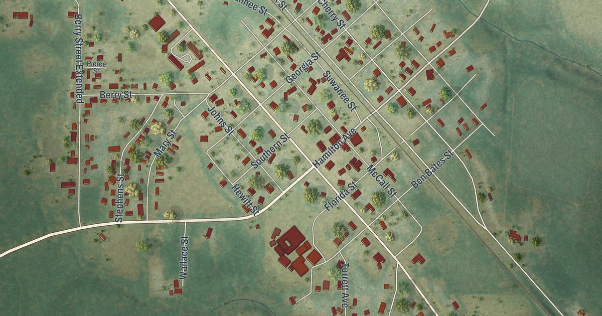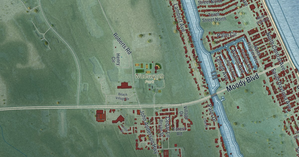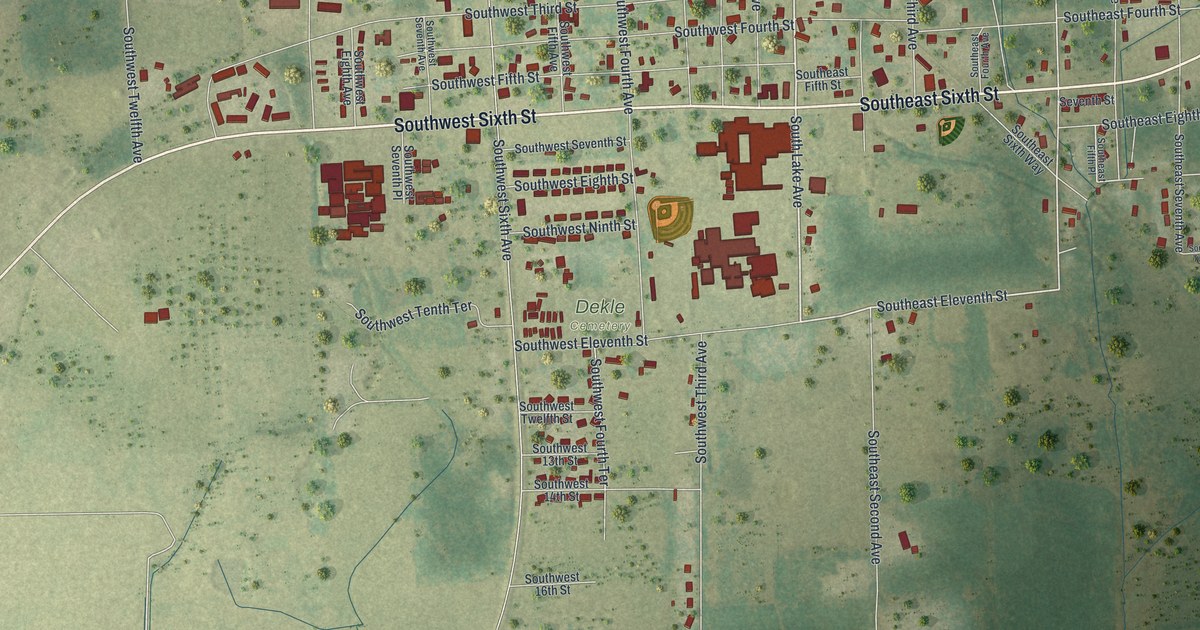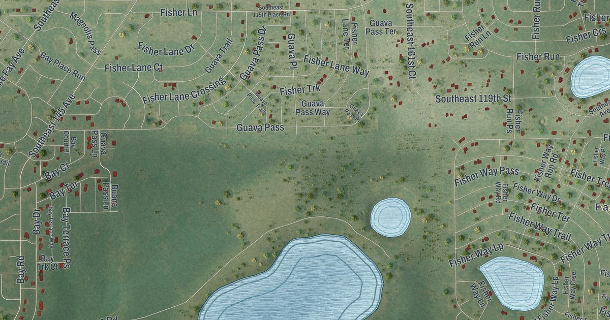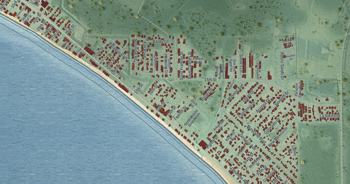
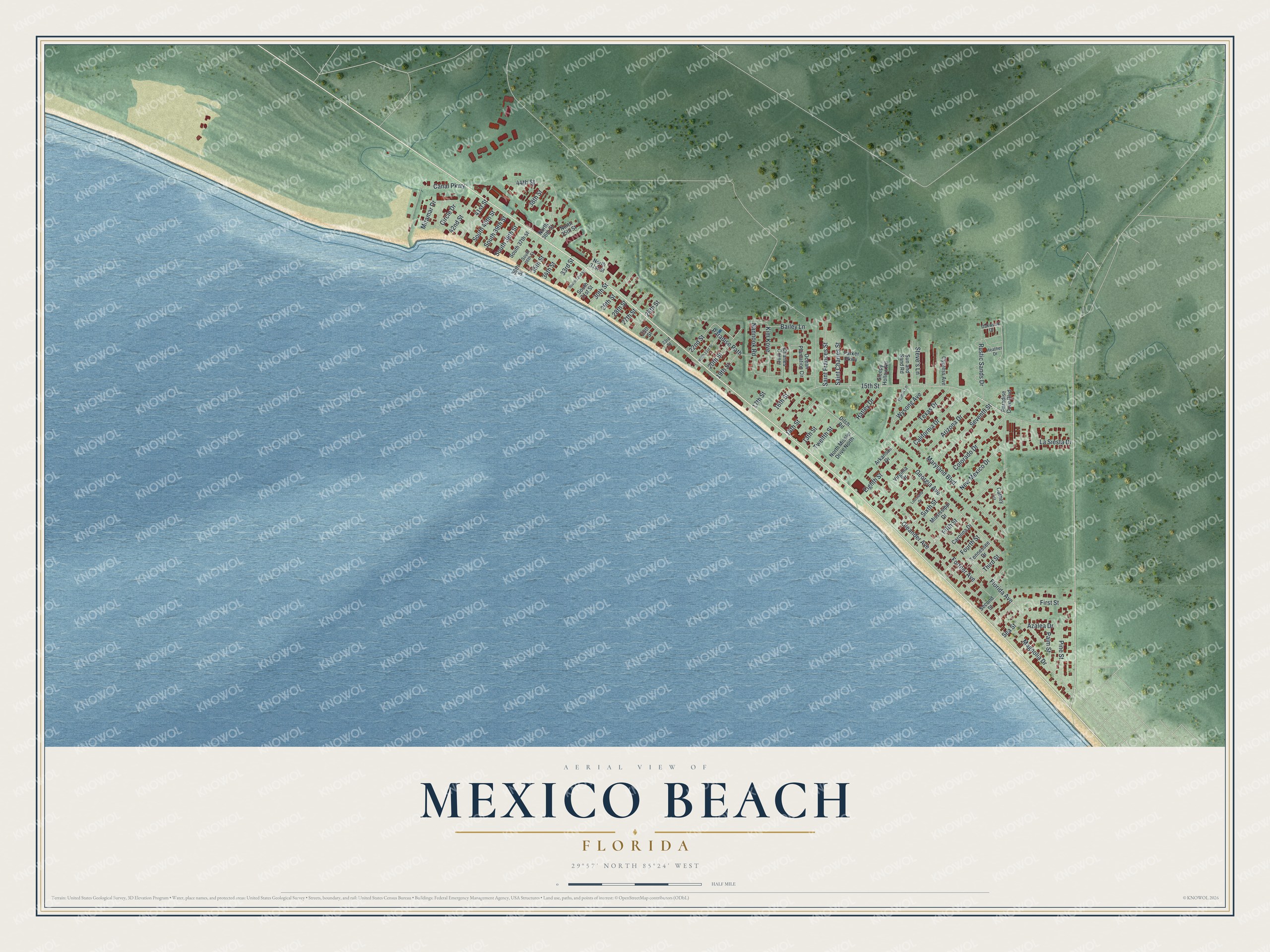
This beautifully detailed map of Mexico Beach, Florida was created in 2026 using aerial imagery combined with modern topographical, census, street and landmark data. It’s a one-of-a-kind view of Mexico Beach that combines accurate data with a vintage aesthetic. The map shows every building in its true location, many of the roads carry their names, and the shaded topographic relief shows the shape of the land.
Explore an aerial view of Mexico Beach, Florida
On the map you’ll find 30th Street, Georgia Avenue, 15th Street, Oleander Avenue, Florida Avenue, Fortner Avenue, Seventh Street, Maryland Boulevard, Fifth Street, Magnolia Drive, Canal Parkway, First Street, and more. If you look closely you can even find your house accurately drawn in its correct location. Zoom in on the preview to look for yours.
Did You Know?
Hurricane Michael came ashore near Mexico Beach on October 10, 2018, with winds of 160 miles per hour. It was the first Category 5 hurricane to hit the United States since 1992. Nearly every home was destroyed. The city has since rebuilt with federal aid and its own funds.
Take a closer look at the Mexico Beach map
Names on this map
These names are printed on this map.
Streets and roads: 30th Street, Georgia Avenue, 15th Street, Oleander Avenue, Florida Avenue, Fortner Avenue, Seventh Street, Maryland Boulevard, Fifth Street, Magnolia Drive, Canal Parkway, First Street.
More street names, A to Z
13th Street, 14th Street, 16th Street, 17th Street, 19th Street, 20th Street, 22nd Street, 23rd Street, 25th Street, 26th Street, 27th Street, 28th Street, 29th Street, 33rd Street, 34th Street, 35th Street, 36th Street, 38th Street, 41st Street, 42nd Street, 44th Street, Arizona Drive, Arkansas Drive, Azalea Drive, Bailey Lane, California Drive, Carolina Drive, Cathey Lane, Charles Corner, Circle Drive, Colorado Drive, Cypress Avenue, Ditch Road, Eighth Street, Fourth Street, Hatley Drive, Heather Drive, Kim Kove, La Siesta Drive, Louisiana Drive, Miramar Drive, Mississippi Drive, Nannook Road, New Mexico Drive, North 21st Street, North 31st Street, North 35th Street, North 36th Street, North Missler Drive North, Oakwood Drive, Ocean Plantation Circle, Palm Street, Paradise Cove Boulevard, Paradise Path, Parker Parkway, Pine Street, Robin Lane, Rustic Sands Drive, Saint Charles Street, Saint Frances Street, Sea Street, Second Street, Sixth Street, Sleepy Hollow Road, South 31st Street, South 32nd Street, South 36th Street, South 37th Street, South 38th Street, South 39th Street, South 40th Street, Steve's Lane, Sun and Sand Road, Tennessee Drive, Texas Drive, Third Street, Twelfth Street, Virginia Drive, Wysong Avenue.
See it on a wall
The Mexico Beach map as a framed print. Swipe for more.


This beautifully detailed map of Mexico Beach makes an attractive addition to your office, library, or den, and it can even be used to teach children the geography and history of the area. It also makes a great gift for anyone who grew up in Mexico Beach or moved away. When you’re done exploring, click here to get your copy of the Mexico Beach map.