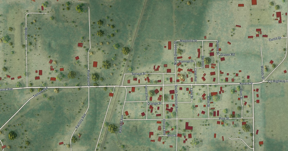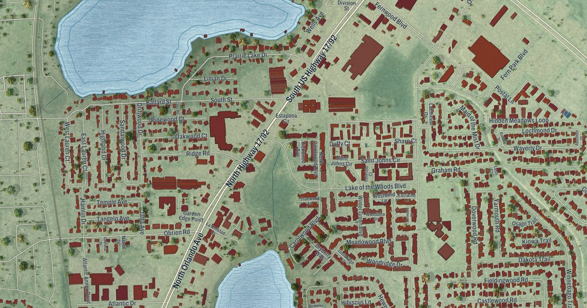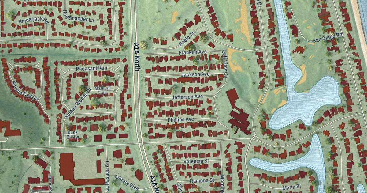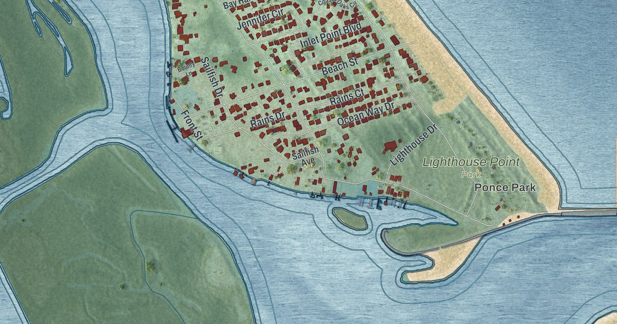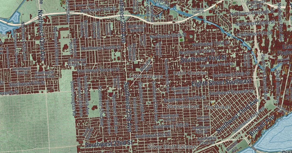
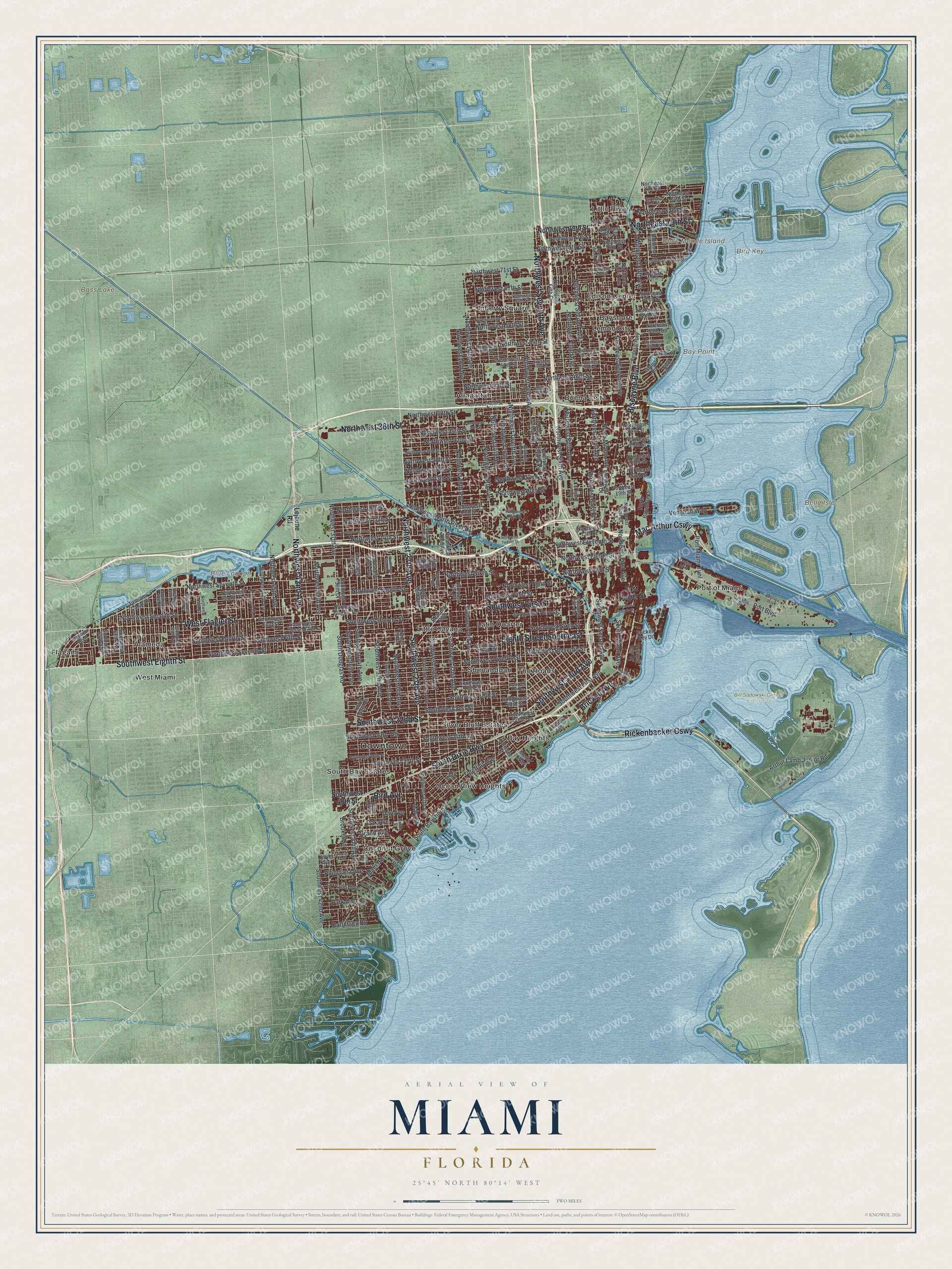
This beautifully detailed map of Miami, Florida was created in 2026 using aerial imagery combined with modern topographical, census, street and landmark data. It’s a one-of-a-kind view of Miami that combines accurate data with a vintage aesthetic. The map shows every building in its true location, many of the roads carry their names, and the shaded topographic relief shows the shape of the land.
Explore an aerial view of Miami, Florida
On the map you’ll find Downtown, Bay Point, Belle Isle, Belle Meade Island, Bird Key, Bass Lake, Blue Lagoon, Bill Sadowski Critical Wildlife Area, Alameda, Allapattah, Bay Heights, Bayshore, and more. If you look closely you can even find your house accurately drawn in its correct location. Zoom in on the preview to look for yours.
Did You Know?
Miami is the only major American city founded by a woman. Julia Tuttle, a citrus grower from Cleveland, owned the land where the city was built. After the Great Freeze of 1894 and 1895, her area’s crops were the only ones in Florida to survive. She then persuaded Henry Flagler to extend his railroad south. Miami became a city on July 28, 1896.
Take a closer look at the Miami map
Names on this map
These names are printed on this map.
Places: Downtown, Bay Point, Belle Isle, Belle Meade Island, Bird Key, Bass Lake, Blue Lagoon, Bill Sadowski Critical Wildlife Area, Alameda, Allapattah, Bay Heights, Bayshore, Buena Vista, Coconut Grove, Edison Center, Flagami, Latin Quarter, Lemon City, Liberty Square, Little Havana, Little River, Ocean View Heights, Port of Miami, Shenandoah, Silver Bluff Estates, South Bay Estates, The Roads and West Miami.
Streets and roads: Biscayne Boulevard, West Flagler Street, Southwest Eighth Street, South Dixie Highway, Rickenbacker Causeway, Mac Arthur Causeway, Eighth Street Southeast, Brickell Avenue, Southwest First Street, Northeast 79th Street, Northwest Seventh Avenue, Northwest 36th Street.
More street names, A to Z
Arthur Lamb Junior Road, Australia Way, Bahama Drive, Battersea Road, Beacom Boulevard, Bird Avenue, Brickell Bay Drive, Brickell Key Drive, Brooker Street, Coral Gate Drive, Cruise Boulevard, Day Avenue, East Flagler Street, El Prado Boulevard, Federal Highway, Flagami Boulevard, Grand Avenue, Halissee Street, Island Road, Kirk Street, Lake Road, Lejeune Road, Loquat Avenue, Lybyer Avenue, Main Highway, Mary Street, Matilda Street, Mercy Way, New York Street, North Bayshore Drive, Northeast 19th Street, Northeast 22nd Street, Northeast 25th Street, Northeast 29th Street, Northeast 32nd Street, Northeast 52nd Street, Northeast 55th Terrace, Northeast 59th Street, Northeast 62nd Street, Northeast 67th Street, Northeast 69th Street, Northeast 71st Street, Northeast 75th Street, Northeast 78th Street, Northeast 80th Terrace, Northeast 82nd Street, Northeast 83rd Terrace, Northeast 84th Street, Northeast 87th Street, Northeast Fifth Avenue, Northeast First Avenue, Northeast First Court, Northeast Miami Court, Northeast Second Avenue, Northeast Sixth Court, Northeast Third Avenue, North Miami Avenue, Northwest 13th Avenue, Northwest 13th Street, Northwest 14th Avenue, Northwest 14th Street, Northwest 15th Avenue, Northwest 15th Street, Northwest 16th Street, Northwest 17th Avenue, Northwest 17th Street, Northwest 18th Avenue, Northwest 18th Street, Northwest 19th Avenue, Northwest 19th Street, Northwest 20th Street, Northwest 21st Avenue, Northwest 21st Terrace, Northwest 22nd Avenue, Northwest 22nd Street, Northwest 23rd Court, Northwest 23rd Street, Northwest 24th Avenue, Northwest 25th Avenue, Northwest 26th Street, Northwest 27th Avenue, Northwest 28th Street, Northwest 30th Avenue, Northwest 30th Street, Northwest 32nd Avenue, Northwest 32nd Street, Northwest 34th Avenue, Northwest 34th Street, Northwest 35th Street, Northwest 36th Court, Northwest 37th Avenue, Northwest 38th Street, Northwest 39th Avenue, Northwest 40th Street, Northwest 42nd Avenue, Northwest 43rd Street, Northwest 45th Avenue, Northwest 45th Street, Northwest 46th Street, Northwest 47th Avenue, Northwest 48th Court, Northwest 48th Street, Northwest 49th Street, Northwest 50th Street, Northwest 51st Street, Northwest 53rd Street, Northwest 54th Street, Northwest 55th Court, Northwest 57th Court, Northwest 58th Street, Northwest 59th Avenue, Northwest 59th Street, Northwest 60th Court, Northwest 64th Street, Northwest 67th Street, Northwest 71st Street, Northwest 75th Street, Northwest 77th Street, Northwest 79th Street, Northwest Eighth Avenue, Northwest Eighth Street, Northwest Eleventh Avenue, Northwest Eleventh Street, Northwest Fifth Avenue, Northwest Fifth Court, Northwest Fifth Street, Northwest First Avenue, Northwest First Place, Northwest First Street, Northwest Flagler Terrace, Northwest Fourth Court, Northwest Fourth Street, Northwest Fourth Terrace, Northwest Miami Court, Northwest Ninth Avenue, Northwest Ninth Street, Northwest North River Drive, Northwest Second Avenue, Northwest Second Street, Northwest Seventh Street, Northwest Sixth Avenue, Northwest Sixth Street, Northwest Tenth Avenue, Northwest Third Avenue, Northwest Third Street, Northwest Twelfth Avenue, Northwest Twelfth Street, Oak Avenue, Park Avenue, Park Lane, Plaza Street, Poinciana Avenue, Port Boulevard, Port Miami Tunl, Royal Road, Sabal Palm Road, Saint Gaudens Road, South Bayshore Drive, South Douglas Road, Southeast 15th Road, Southeast Fourth Street, South Miami Avenue, Southwest 17th Street, Southwest 17th Terrace, Southwest 19th Avenue, Southwest 19th Street, Southwest 20th Street, Southwest 21st Street, Southwest 22nd Avenue, Southwest 22nd Street, Southwest 22nd Terrace, Southwest 23rd Terrace, Southwest 24th Avenue, Southwest 24th Terrace, Southwest 25th Avenue, Southwest 26th Street, Southwest 27th Avenue, Southwest 27th Street, Southwest 29th Court, Southwest 30th Avenue, Southwest 31st Avenue, Southwest 32nd Avenue, Southwest 34th Avenue, Southwest 36th Avenue, Southwest 37th Avenue, Southwest 40th Street, Southwest 42nd Avenue, Southwest 59th Avenue, Southwest 67th Avenue, Southwest 69th Avenue, Southwest Eleventh Street, Southwest Fifth Avenue, Southwest Fifth Street, Southwest First Avenue, Southwest Fourth Street, Southwest Second Avenue, Southwest Second Street, Southwest Second Terrace, Southwest Seventh Street, Southwest Sixth Street, Southwest Tenth Street, Southwest Third Avenue, Southwest Third Street, Southwest Twelfth Street, Tamiami Canal Road, Tigertail Avenue, Venetian Way, Virginia Beach Drive, Virginia Street.
See it on a wall
The Miami map as a framed print. Swipe for more.


This beautifully detailed map of Miami makes an attractive addition to your office, library, or den, and it can even be used to teach children the geography and history of the area. It also makes a great gift for anyone who grew up in Miami or moved away. When you’re done exploring, click here to get your copy of the Miami map.