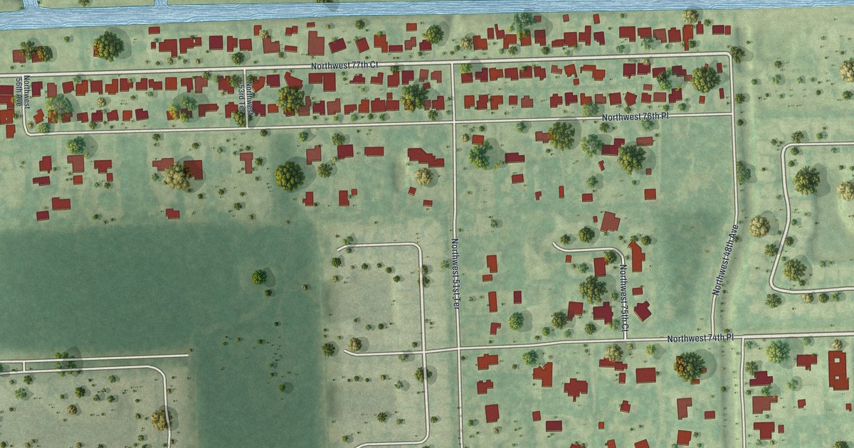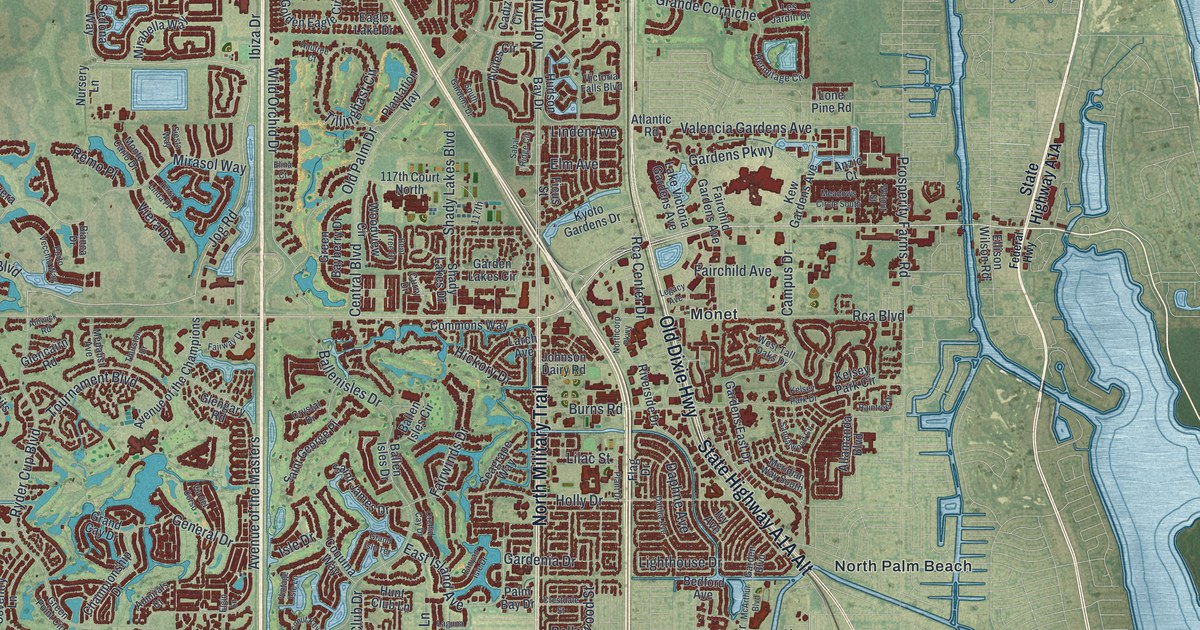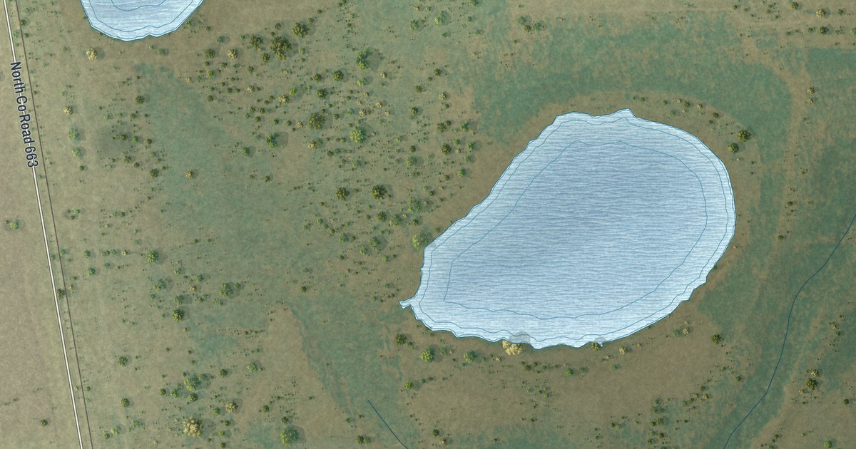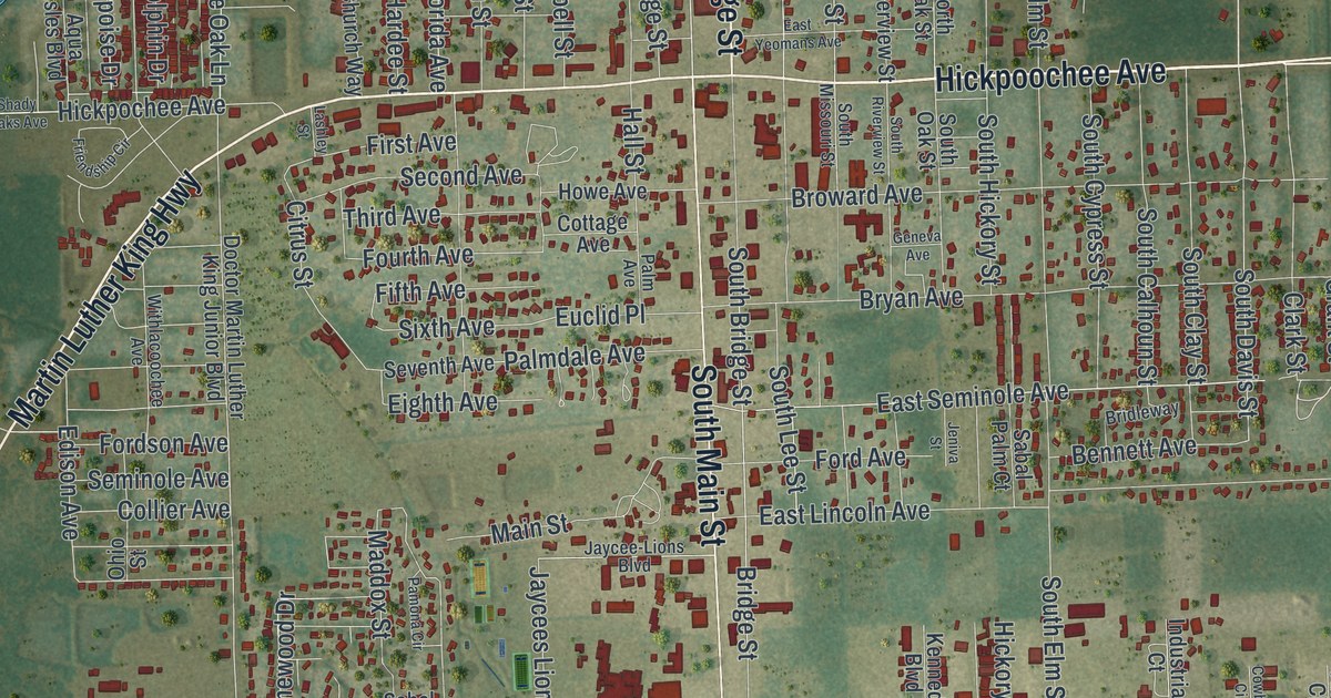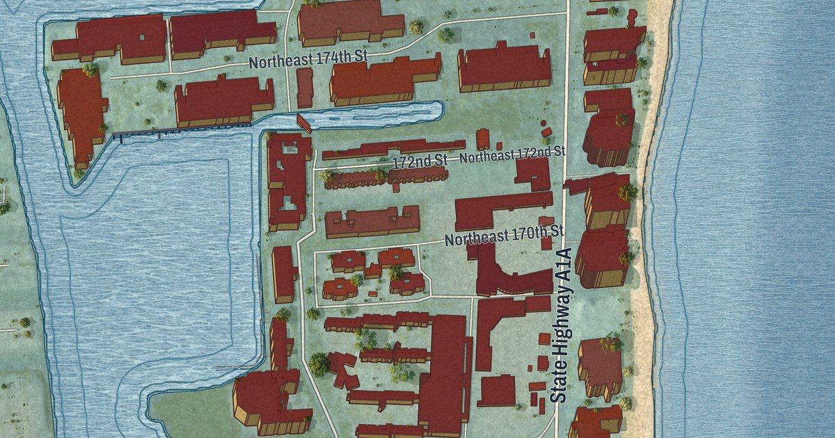
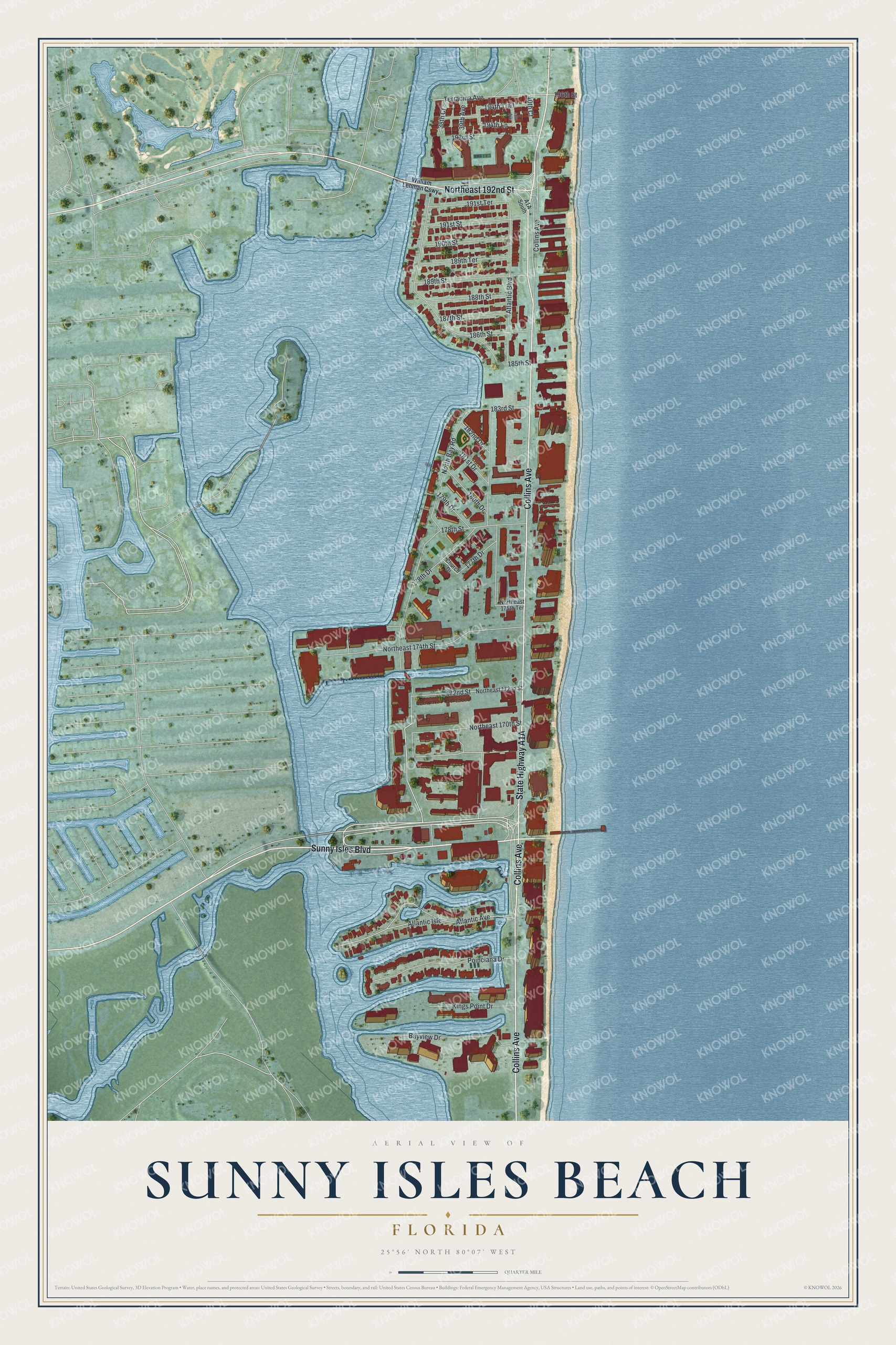
This beautifully detailed map of Sunny Isles Beach, Florida was created in 2026 using aerial imagery combined with modern topographical, census, street and landmark data. It’s a one-of-a-kind view of Sunny Isles Beach that combines accurate data with a vintage aesthetic. The map shows every building in its true location, many of the roads carry their names, and the shaded topographic relief shows the shape of the land.
Explore an aerial view of Sunny Isles Beach, Florida
On the map you’ll find Atlantic Isle, along with Collins Avenue, State Highway A1A, Sunny Isles Boulevard, Northeast 192nd Street, North Bay Road, 194th Lane, Atlantic Avenue, Atlantic Boulevard, Northeast 174th Street, Poinciana Drive, 196th Street, and more. If you look closely you can even find your house accurately drawn in its correct location. Zoom in on the preview to look for yours.
Did You Know?
In 1920, investor Harvey Baker Graves bought about 2.26 square miles of land to build a tourist resort. He called it Sunny Isles. When the Haulover bridge opened in 1925, visitors could reach it from Miami Beach. The city became Sunny Isles Beach when residents voted to incorporate in 1997.
Take a closer look at the Sunny Isles Beach map
Names on this map
These names are printed on this map.
Streets and roads: Collins Avenue, Sunny Isles Boulevard, Northeast 192nd Street, North Bay Road, 194th Lane, Atlantic Avenue, Atlantic Boulevard, Northeast 174th Street, Atlantic Isle, Poinciana Drive, 196th Street, Terracina Avenue.
More street names, A to Z
38th Court, 39th Avenue, 40th Avenue, 40th Court, 172nd Street, 177th Drive, 178th Drive, 178th Street, 179th Drive, 180th Drive, 181st Drive, 182nd Drive, 183rd Street, 185th Street, 186th Street, 187th Street, 188th Street, 189th Street, 189th Terrace, 190th Street, 191st Street, 191st Terrace, 193rd Street, 194th Trail, Bayview Drive, Church Drive, Kings Point Drive, Northeast 170th Street, Northeast 172nd Street, Northeast 175th Terrace, William Lehman Causeway.
See it on a wall
The Sunny Isles Beach map as a framed print. Swipe for more.


This beautifully detailed map of Sunny Isles Beach makes an attractive addition to your office, library, or den, and it can even be used to teach children the geography and history of the area. It also makes a great gift for anyone who grew up in Sunny Isles Beach or moved away. When you’re done exploring, click here to get your copy of the Sunny Isles Beach map.