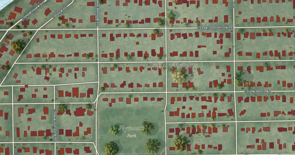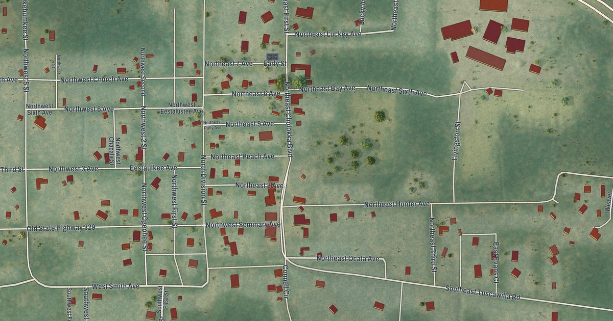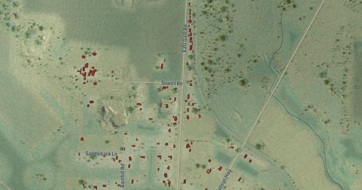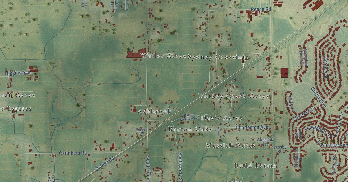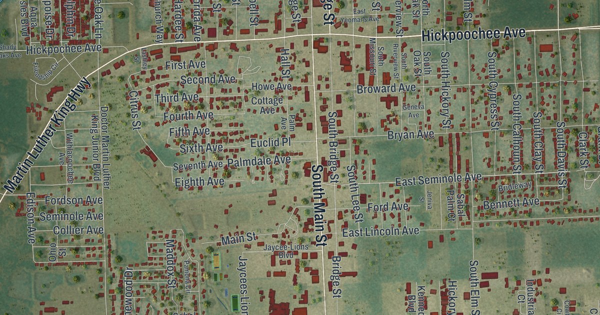
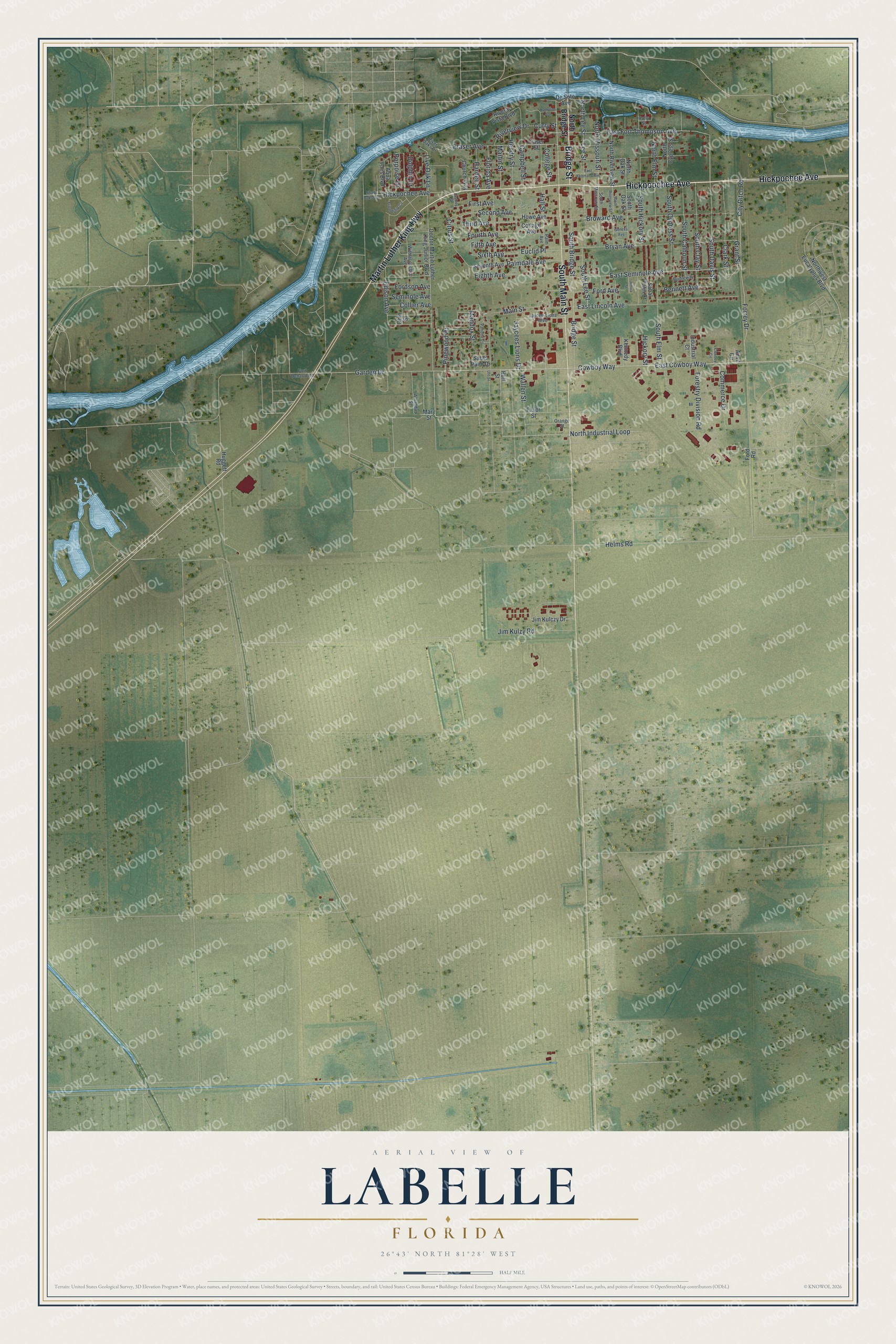
This beautifully detailed map of LaBelle, Florida was created in 2026 using aerial imagery combined with modern topographical, census, street and landmark data. It’s a one-of-a-kind view of LaBelle that combines accurate data with a vintage aesthetic. The map shows every building in its true location, many of the roads carry their names, and the shaded topographic relief shows the shape of the land.
Explore an aerial view of LaBelle, Florida
On the map you’ll find Hickpochee Avenue, Hickpoochee Avenue, South Main Street, Martin Luther King Highway, Bridge Street, East Fort Thompson Avenue, Main Street, Cowboy Way, East Cowboy Way, North Missouri Street, South Davis Street, Grant Street, and more. If you look closely you can even find your house accurately drawn in its correct location. Zoom in on the preview to look for yours.
Did You Know?
LaBelle was named for two sisters, Laura June and Carrie Belle Hendry. They were the daughters of the pioneer cattleman Francis Asbury Hendry. The settlement grew up on the Caloosahatchee River at the western edge of his large property. Its first residents were cow hunters and trappers of wild game.
Take a closer look at the LaBelle map
Names on this map
These names are printed on this map.
Streets and roads: Hickpochee Avenue, Hickpoochee Avenue, South Main Street, Martin Luther King Highway, Bridge Street, East Fort Thompson Avenue, Main Street, Cowboy Way, East Cowboy Way, North Missouri Street, South Davis Street, Grant Street.
More street names, A to Z
Amanda Street, Anvil Circle, Aqua Isles Boulevard, Bennett Avenue, Bridleway, Broward Avenue, Bryan Avenue, Campbell Street, Church Way, Citrus Street, City Ditch Road, Clark Street, College Street, Collier Avenue, Commerce Drive, Cottage Avenue, Cowboy Circle, Curry Street, De Soto Avenue, Doctor Martin Luther King Junior Boulevard, Dolphin Drive, East Lincoln Avenue, East Seminole Avenue, East Yeomans Avenue, Edison Avenue, Eighth Avenue, Euclid Place, Favor Street, Fifth Avenue, First Avenue, Florida Avenue, Ford Avenue, Ford Road, Fordson Avenue, Forestry Division Road, Forrey Drive, Fort Denaud Road, Fourth Avenue, Fraser Avenue, Fraser Street, Friendship Circle, Garden Drive, Geneva Avenue, Hall Street, Hampton Avenue, Hardee Street, Helms Road, Hendry Street, Hickory Street, Holly Street, Howe Avenue, Huggett Road, Hull Street, Industrial Court, Jaycee-Lions Boulevard, Jaycees Lions Drive, Jeniva Street, Jim Kulczy Drive, Jim Kulzy Road, Kennedy Boulevard, Lashley Street, Lee Street, Live Oak Lane, Maddox Street, Martin Street, Mary Street, North Bridge Street, North Cypress Street, North Elm Street, North Industrial Loop, North Lee Street, North Oak Street, North Riverview Street, Northwest Eucalyptus Boulevard, Ohio Street, Orange Street, Palm Avenue, Palmdale Avenue, Pamona Circle, Pinewood Drive, Porpoise Drive, Rivera Vista Boulevard, River Oaks Drive, Riverview Drive, Sabal Palm Court, Sabel Palm Drive, Second Avenue, Seminole Avenue, Seventh Avenue, Shady Oaks Avenue, Sixth Avenue, South Bridge Street, South Calhoun Street, South Clay Street, South Cypress Street, South Elm Street, South Hickory Street, South Lee Street, South Missouri Street, South Oak Street, South Riverview Street, Third Avenue, Ute Street, Wallen Street, Withlacoochee Avenue.
See it on a wall
The LaBelle map as a framed print. Swipe for more.


This beautifully detailed map of LaBelle makes an attractive addition to your office, library, or den, and it can even be used to teach children the geography and history of the area. It also makes a great gift for anyone who grew up in LaBelle or moved away. When you’re done exploring, click here to get your copy of the LaBelle map.