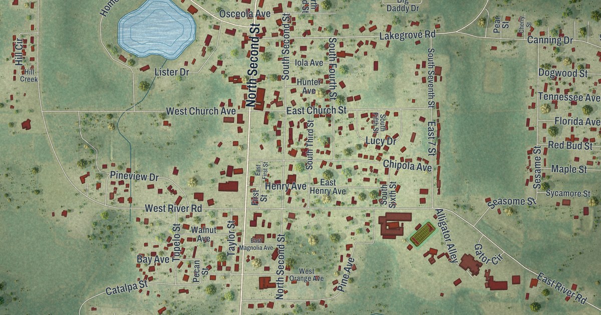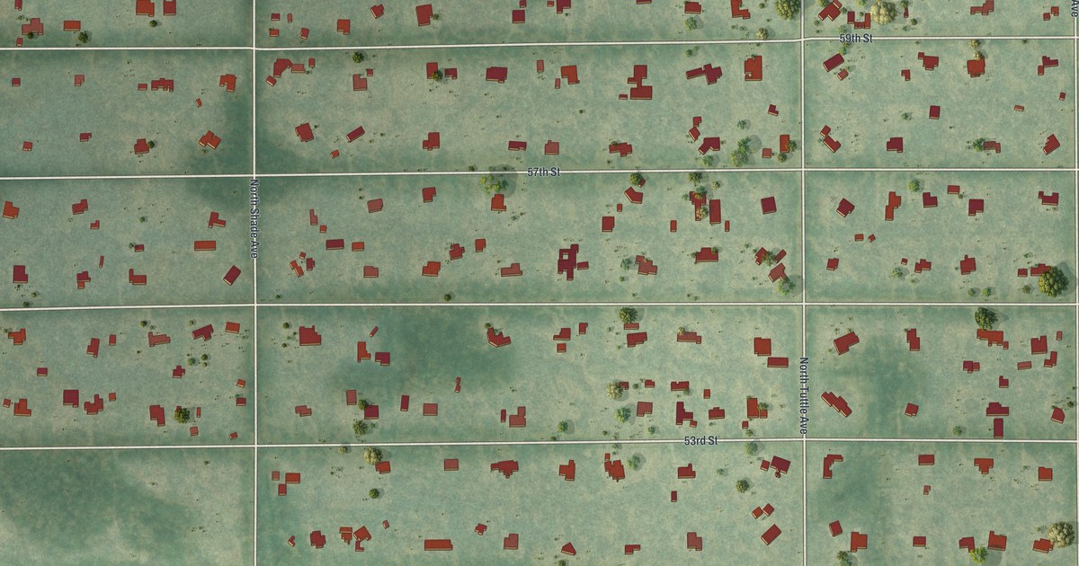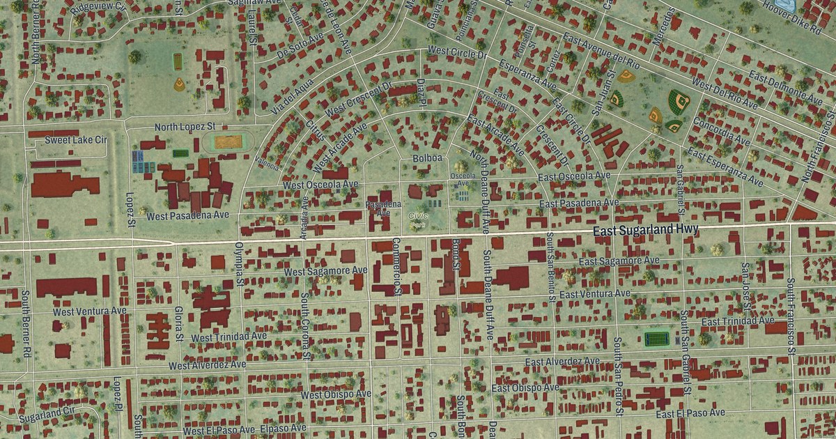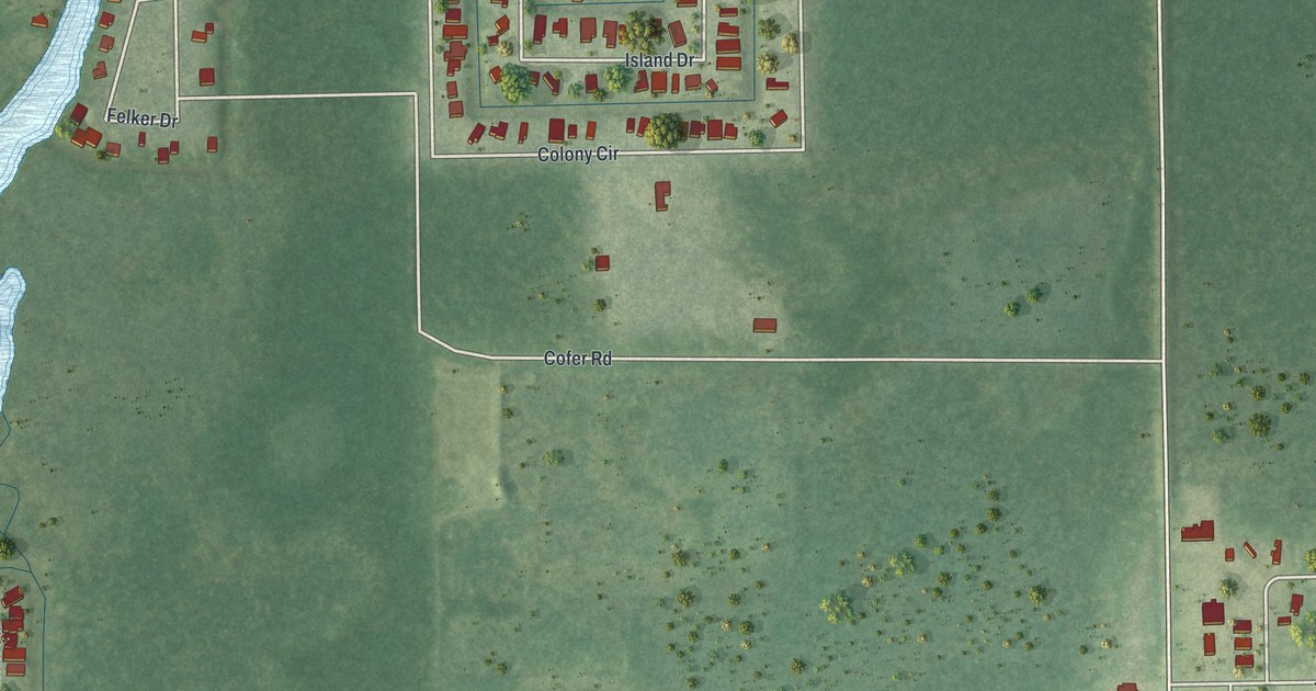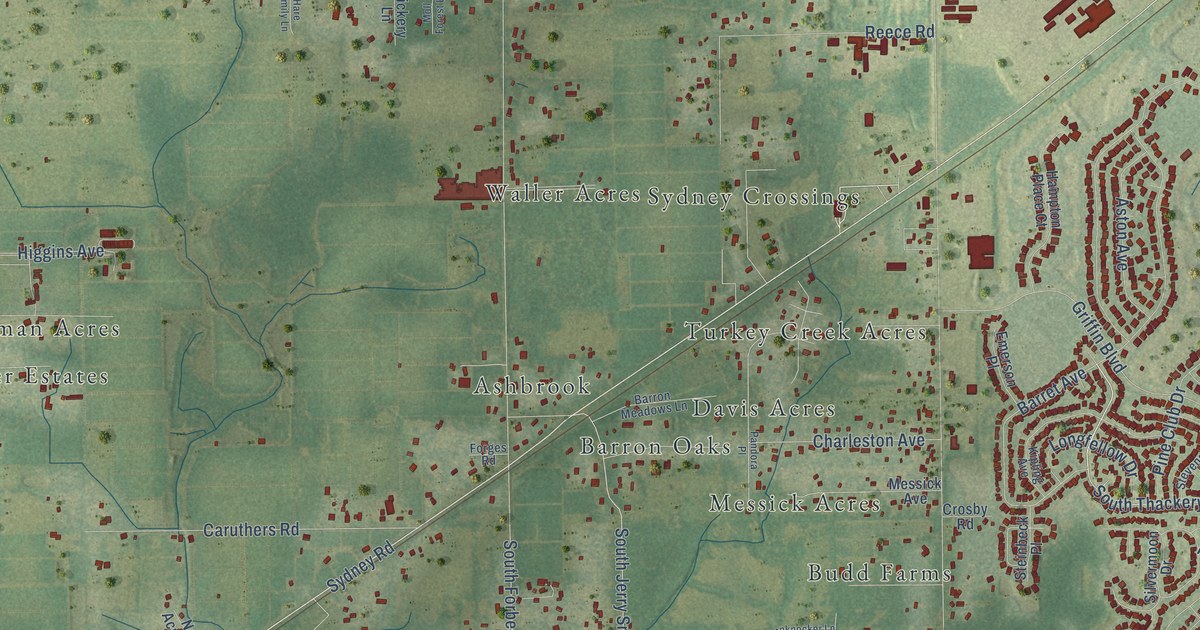
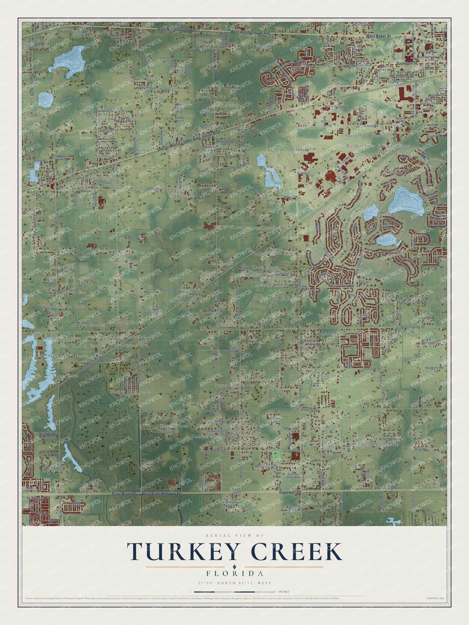
This beautifully detailed map of Turkey Creek, Florida was created in 2026 using aerial imagery combined with modern topographical, census, street and landmark data. It’s a one-of-a-kind view of Turkey Creek that combines accurate data with a vintage aesthetic. The map shows every building in its true location, many of the roads carry their names, and the shaded topographic relief shows the shape of the land.
Explore an aerial view of Turkey Creek, Florida
On the map you’ll find Cal Maine, Walden Lake Fairway Villas, Walden Lake, Sidney Highlands, Mayo Acres, El Pavo Vista, Lehman Acres, Waller Acres, Leighton Acres, Wetherington Oaks, and Hilltop Preserve, along with Pine Grove Terrace, and more. If you look closely you can even find your house accurately drawn in its correct location. Zoom in on the preview to look for yours.
Did You Know?
From Internet Archive: "The opening of the Turkey Creek School was approved by the Board in 187: and the same year a school was established in the Thonotosassa Church."
Turkey Creek is a community in Hillsborough County.
Take a closer look at the Turkey Creek map
Names on this map
These names are printed on this map.
Places: Cal Maine, Walden Lake Fairway Villas, Walden Lake, Sidney Highlands, Mayo Acres, El Pavo Vista, Lehman Acres, Waller Acres, Leighton Acres, Wetherington Oaks, Pine Grove Terrace, Hilltop Preserve, Sugar Cane Acres, Lone Oak Haven, Daniels Acres, Dovercrest, Gwaltney Acres, Salem Oaks, Messick Acres, Farkas Estates, Margaline Gardens, Connell Groves, Beattys Corner, Ashbrook, Pearson Estates, Turkey Creek Acres, Joannas Reserve, Dormany Oaks, Trapnell Ridge, Bingham, Holloway Estates, Shepherd Plantation, Wallace Road Acres, Lindsey, Tague Acres, Sydney Crossings, Medley Manor, Gillespies Glen, Turkey Hollow, Sunny Hill, Melouga Preserve, Barron Oaks, Sydney, Brown Estates, Green Valley, Budd Farms, Dunn, Winter Estates, Peeples Acres, Davis Acres, Charles Donnel Acres, Highland Country Estates, Lovitis Park, Salem Church Estates, Delgado, Moll Acres and North Lake.
Streets and roads: East Hillsborough Avenue, West Hillsborough Avenue, West Baker Street, Doctor Martin Luther King Junior Boulevard, West State Highway 60, Hopewell Road, Reynolds Street, State Road 60, Sydney Road, North Dover Road, Sydney Washer Road, Salem Church Road.
More street names, A to Z
Acker Road, Activities Lane, Airport Road, Alcott Avenue, Alred Loop, Al Simmons Road, Ashlyn Place Drive, Aston Avenue, Atkins Ranch Lane, Bakersfield Place, Barret Avenue, Barron Meadows Lane, Beach Farm Road, Belveal Road, Berry Patch Road, Bethlehem Road, Bevlin Acres Lane, Binkie Lane, Blackjack Road, Blankenship Road, Bloom Drive, Bragg Street, Bridle Drive, Briny Breeze Drive, Brookstone Way, Bugg Road, Buser Lane, Business Lane, Butler Road, Cable Road, Calhoun Road, Carpel Street, Caruthers Road, Central Drive, Charles Avenue, Charleston Avenue, Charleston Woods, Chipman Street, Choo Choo Lane, Cinnamon Bark Place, Clubhouse Drive, Commerce Road, Connell Road, Connor Avenue, Copper Lane, Country Club Court, Country Hills Boulevard, Country Trails Drive, Creek Way Court, Creek Woods Drive, Cre Road, Crimson Court, Crosby Road, Crystal Dew Street, Delaware Avenue, Dover Avenue, Downing Street, Drake Street, Drawdy Road, Edmund Court, Edwards Road, Edwards Street, Elnor Street, Emerson Place, Endeavour Avenue, Enterprise Street, Ethan Way, Euclid Drive, Eunice Drive, Executive Manors Drive, Farm Lane, Fietzway Road, Fig Street, Forest Club Drive, Forest Hammock Drive, Forges Road, Fortner Road, Garland Branch Road, Gavin Road, Godins Lane, Goff Road, Golf Lake Drive, Grant Street, Griffin Boulevard, Gwaltney Place, Haggard Road, Hammock Drive, Hampton Place Court, Hans Lane, Hare Family Lane, Hawell Estates Drive, Haynes Road, Haynsworth Drive, Heathcoe Road, Hey Joe Lane, Hicks Road, Higgins Avenue, Holiness Church Road, Hollifields Lane, Holloway Road, Holly Berry Lane, Horseshoe Drive, Industrial Park Drive, Jerri Lynn Court, Jerry Smith Road, Jonathan Court, Jordan Road, Juanita Drive, Kearsney Abbey Circle, Kilmer Drive, Kings Commercial Court, Kipling Avenue, Lake Boulevard, Lariscy Lane, Lark Drive, Laurel Oak Drive, Lemon Street, Lenoir Court, Leslie Bell Lane, Liles Lane, Lindsay Anne Court, Lindsey Loop, Lindsey Street, Lisa Ann Court, Lone Oak Road, Longfellow Drive, Lott Avenue, Luckasavage Road, Lykes Road, Lynch Place, Lynn Oaks Circle, Maki Road, Mansell Road, Marge Owens Road, Mason Avenue, Masters Way, Meadow Oaks Drive, Meadows Edge, Messick Avenue, Midstate Street, Midwood Drive, Mobley Street, Moll Forest Lane, Montayne Avenue, Moores Lake Road, Mud Lake Road, Murray Farms Loop, Murray Farms Road, Music Tree Place, Mystic Cove Lane, National Guard Drive, Neal Acres Road, Nelson Avenue, North Airport Road, North Edwards Street, North Forbes Road, North Golfview Drive, North Lemon Street, North Mobley Street, North Plant Avenue, North Ritter Street, North Turkey Creek Road, North Woodrow Wilson Street, North Wooten Road, Oakbrook Lane, Old Sydney Road, Oneal Way, Overstreet Hill Road, Overstreet Lane, Paddock Drive, Palm Creek Drive, Pancho Villa Lane, Pandora Place, Parker Forbes Lane, Parkes Pass Lane, Parksdale Lane, Par Meadows Lane, Paul Myers Lane, Pearl Mary Circle, Pettie Road, Pevetty Drive, Pinebrooke Place, Pine Club Drive, Pine Top Drive, Pioneer Lane, Plantation Circle, Plantation Grove Court, Plant Avenue, Plant City Trailer Pk, Polo Place, Popes Trail Lane, Preservation Drive, Pupsam Lane, Rainbows End Place, Rain Frog Lane, Reece Road, Regner Drive, Renfroe Avenue, Reola Road, Rex Avenue, Reynolds Creek Avenue, Robinson Road, Rolling Vis Lp, Ruby Lee Drive, Ruby Woods Trail, Ruth Street, Sammonds Road, Sandy Curve Drive, Sandy Lee Lane, Schuette Road, Shakespeare Drive, Siesta Key Loop, Silvermoon Drive, Sky Ridge Drive, Slaten Road, Slaten Street, Southern Grace Way, South Fairway Drive, South Farkas Road, South Forbes Road, South Jerry Smith Road, South Thackery Way, South Woodrow Wilson Street, Spring Hammock Drive, Spring Meadow Drive, Steinbeck Place, Stevenson Street, Stumpknocker Lane, Sugar Creek Drive, Sullivan Manor Court, Summer Sails Drive, Sumner Road, Sutton Woods Drive, Sweet Bay Court, Sydney Dover Road, Sydney Farms Place, Taho Circle, Tanner Road, Thomas Cooper Road, Thonotosassa Road, Touchstone Road, Trailview Place, Trapnell Ridge Drive, Turkey Creek Road, Turkey Tree Lane, Vance Road, Via Napoli Street, Via Parma Street, Vickery Lane, Walden Place, Walden Sheffield Road, Wallace Road, Walter Drive, Ward Road, Washington Road, Waterscapes Lane, Waver Street, Webber Road, Wedgewood Drive, West Ball Street, West Farkas Road, West Gloria Avenue, West Granfield Avenue, West Johnson Road, West Lowry Avenue, West Moody Avenue, West Oak Avenue, West Palmetto Avenue, West Reynolds Street, West Risk Street, Westside Drive, West Timberlane Drive, West Trapnell Road, West Washington Street, Westwind Drive, Wheeler Court, Wheeler Street, Whistle Stop Lane, Whitelaw Road, Wilkinson Drive, Wood Court, Woodrow Wilson Street, Wooten Road.
See it on a wall
The Turkey Creek map as a framed print. Swipe for more.


This beautifully detailed map of Turkey Creek makes an attractive addition to your office, library, or den, and it can even be used to teach children the geography and history of the area. It also makes a great gift for anyone with Turkey Creek roots. When you’re done exploring, click here to get your copy of the Turkey Creek map.