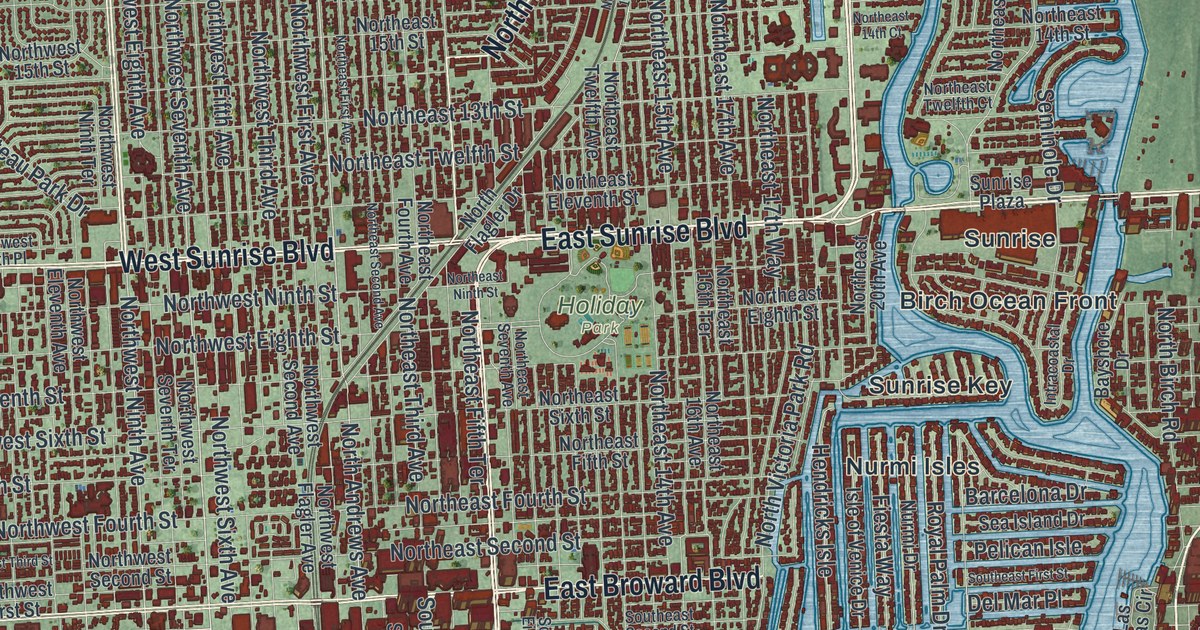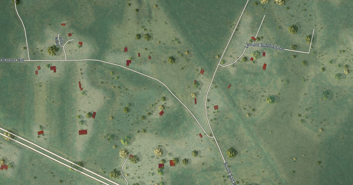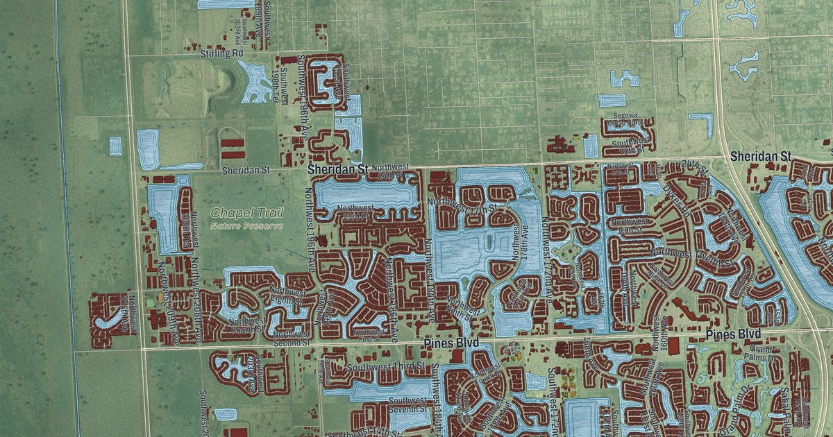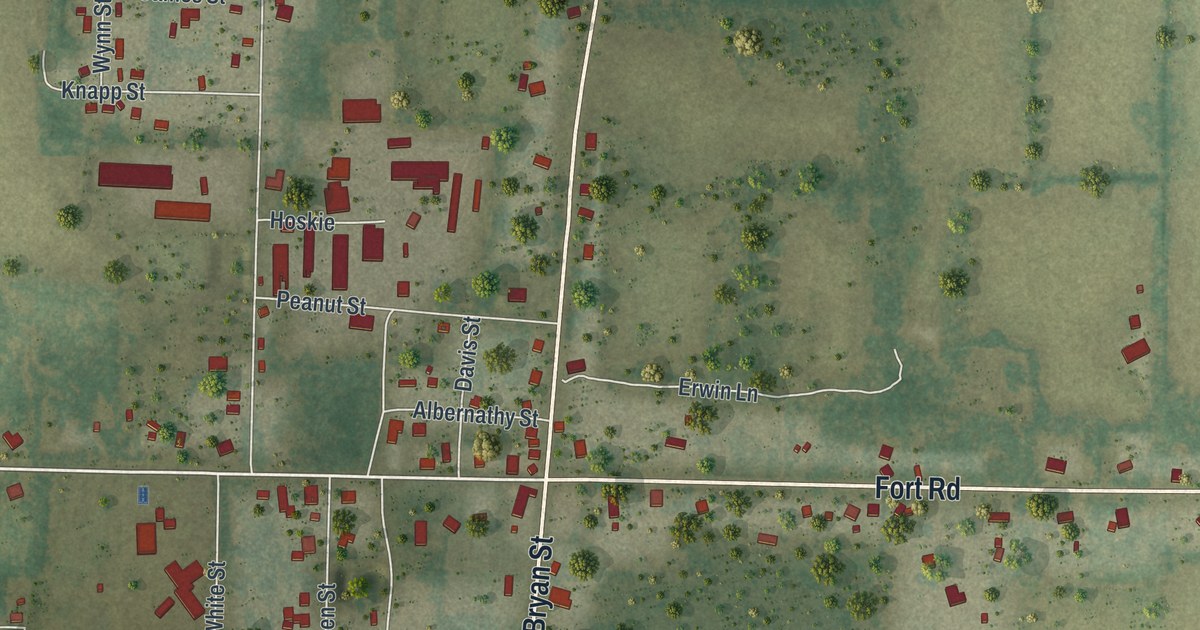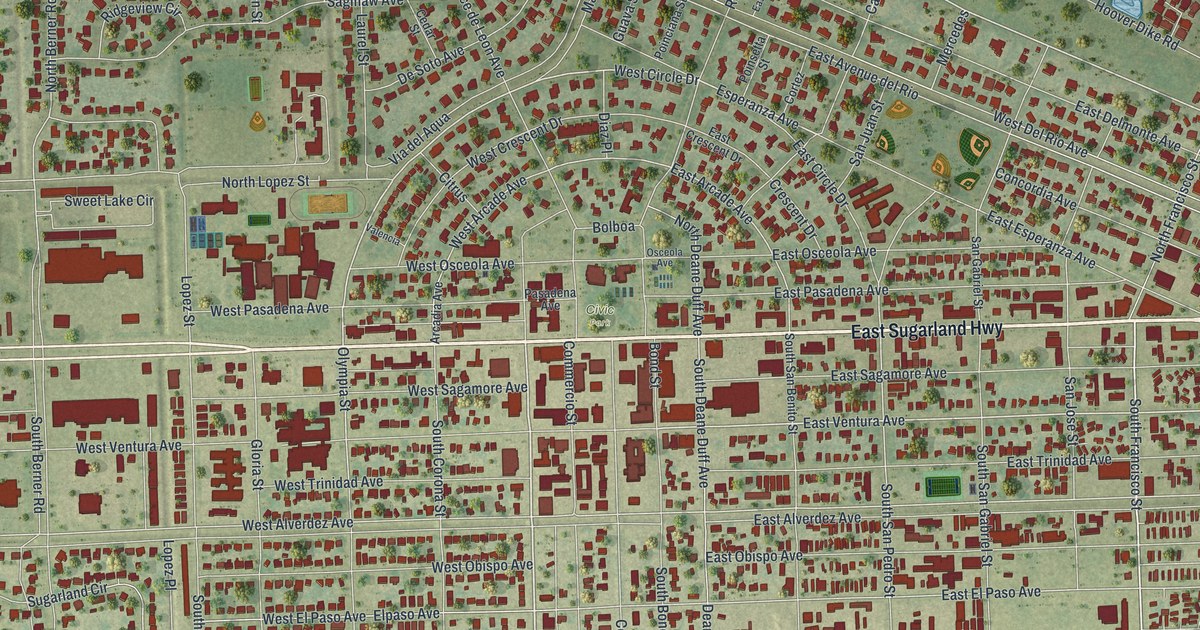
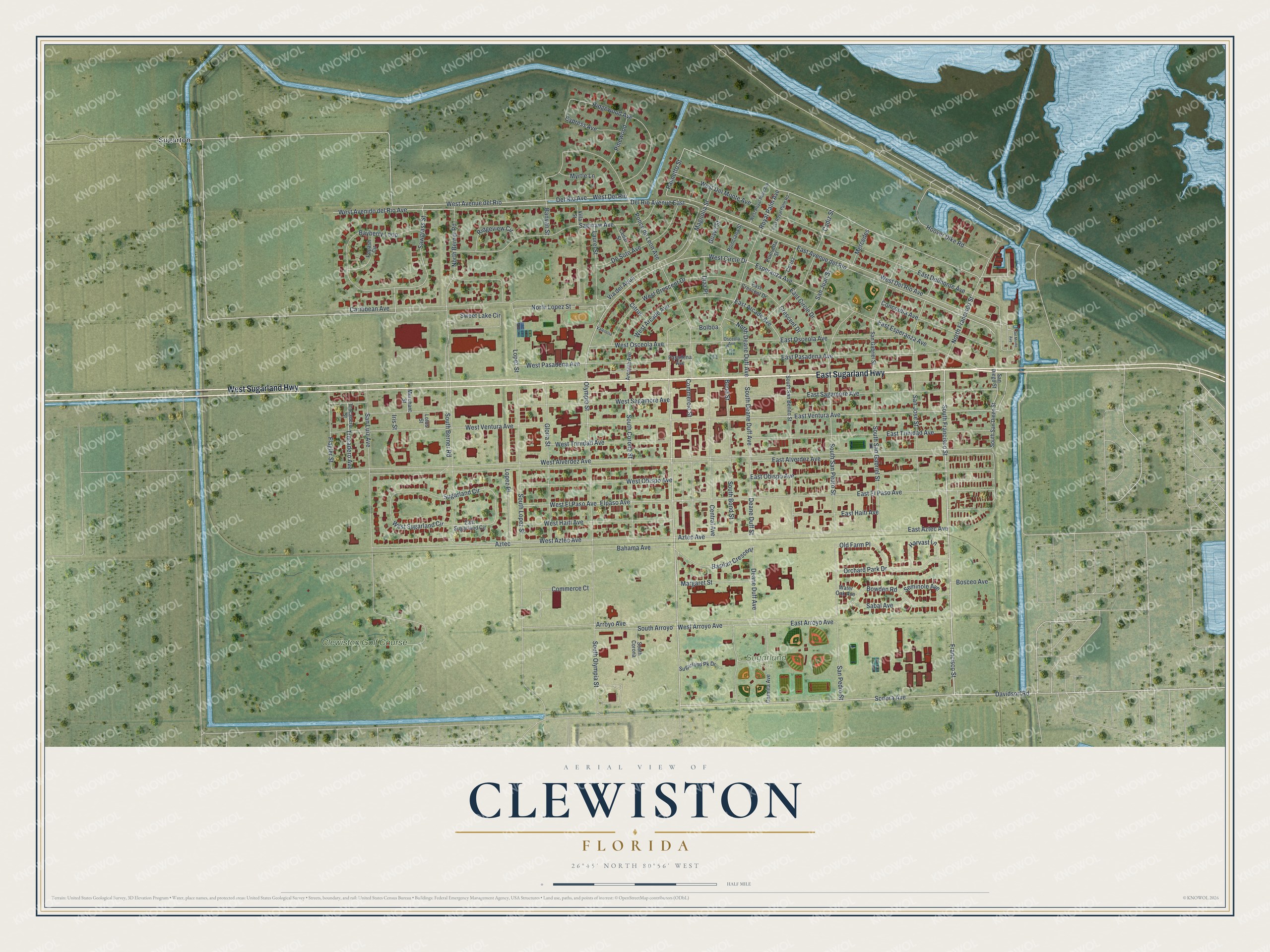
This beautifully detailed map of Clewiston, Florida was created in 2026 using aerial imagery combined with modern topographical, census, street and landmark data. It’s a one-of-a-kind view of Clewiston that combines accurate data with a vintage aesthetic. The map shows every building in its true location, many of the roads carry their names, and the shaded topographic relief shows the shape of the land.
Explore an aerial view of Clewiston, Florida
On the map you’ll find Sugarland Park, Civic Park, Sugarton, and Clewiston Golf Course, along with West Sugarland Highway, East Sugarland Highway, Sonora Avenue, South Francisco Street, Francisco Street, Davidson Road, Esperanza Avenue, East Ventura Avenue, and more. If you look closely you can even find your house accurately drawn in its correct location. Zoom in on the preview to look for yours.
Did You Know?
Seminole people once used the lakeshore here as a fishing camp. In 1920 John O’Brien of Philadelphia and Alonzo Clewis of Tampa bought a large tract to build a town. They built a railway to link it to the Atlantic Coast Line, and Clewiston became a city in 1925.
Take a closer look at the Clewiston map
Names on this map
These names are printed on this map.
Places: Sugarland Park, Civic Park, Sugarton and Clewiston Golf Course.
Streets and roads: West Sugarland Highway, East Sugarland Highway, Sonora Avenue, South Francisco Street, Francisco Street, Davidson Road, Esperanza Avenue, East Ventura Avenue, West Circle Drive, Margaret Street, Olympia Street, Palmetto Street.
More street names, A to Z
Arcadia Avenue, Arroyo Avenue, Aztec, Aztec Avenue, Bahama Avenue, Banyan Street, Basilan Crescent, Bayberry Loop, Bolboa, Bond Street, Bosceo Avenue, Bowden Road, Cadiz Street, Caribbean Avenue, Carmita Avenue, Cedar Street, Central Avenue, Citrus, Commerce Court, Commercio Street, Concordia Avenue, Cortez, Crescent Drive, Cypress Avenue, Deane Duff Avenue, Deane Duff Street, Del Monte Avenue, Del Rio Avenue, Del Rio Avenue East, De Soto Avenue, Diaz Place, East Alverdez Avenue, East Arcade Avenue, East Arroyo Avenue, East Avenue del Rio, East Aztec Avenue, East Circle Drive, East Crescent Drive, East Delmonte Avenue, East El Paso Avenue, East Esperanza Avenue, East Haiti Avenue, East Obispo Avenue, East Osceola Avenue, East Pasadena Avenue, East Royal Palm Road, East Sagamore Avenue, East Sugarland Circle, East Trinidad Avenue, Elpaso Avenue, Flagler Street, Gloria Street, Guava Street, Harvast Lane, Hoover Dike Road, Iris Street, Laurel Street, Lopez Place, Lopez Street, Lotus Street, Magnolia Street, Mercedes, Merchant Street, Myrtle Lane, North Berner Road, North Deane Duff Avenue, North Francisco Street, North Lopez Street, Old Farm Place, Orchard Park Drive, Osceola Avenue, Pasadena Avenue, Pinewood, Poinciana Street, Poinsetta Street, Ponce de Leon Avenue, Popash Circle, Ridgeview Circle, Ridgewood Avenue, Royal Palm Avenue, Sabal Avenue, Saginaw Avenue, San Diego Street, San Gabriel Street, San Jose Street, San Juan Street, San Luiz Avenue, San Pedro Street, Sawgrass Street, Seminole Avenue, South Arroyo, South Berner Road, South Bond Street, South Corona, South Corona Street, South Deane Duff Avenue, South Lopez Street, South Olympia Street, South San Benito Street, South San Diego Street, South San Gabriel Street, South San Pedro Street, Sugarland Circle, Sugarland Pk Drive, Sweet Lake Circle, Trocadero Avenue, Trocadero Street, Valencia, Via del Aqua, Villa Street, Water Oak Avenue, West Alverdez Avenue, West Arcade Avenue, West Arroyo Avenue, West Avenido del Rio Avenue, West Avenue del Rio, West Aztec Avenue, West Crescent Drive, West Del Monte Avenue, West Del Rio, West Del Rio Avenue, West El Paso Avenue, West Haiti Avenue, West Obispo Avenue, West Osceola Avenue, West Pasadena Avenue, West Royal Palm Avenue, West Sagamore Avenue, West Sugarland Circle, West Trinidad Avenue, West Ventura Avenue.
See it on a wall
The Clewiston map as a framed print. Swipe for more.


This beautifully detailed map of Clewiston makes an attractive addition to your office, library, or den, and it can even be used to teach children the geography and history of the area. It also makes a great gift for anyone who grew up in Clewiston or moved away. When you’re done exploring, click here to get your copy of the Clewiston map.