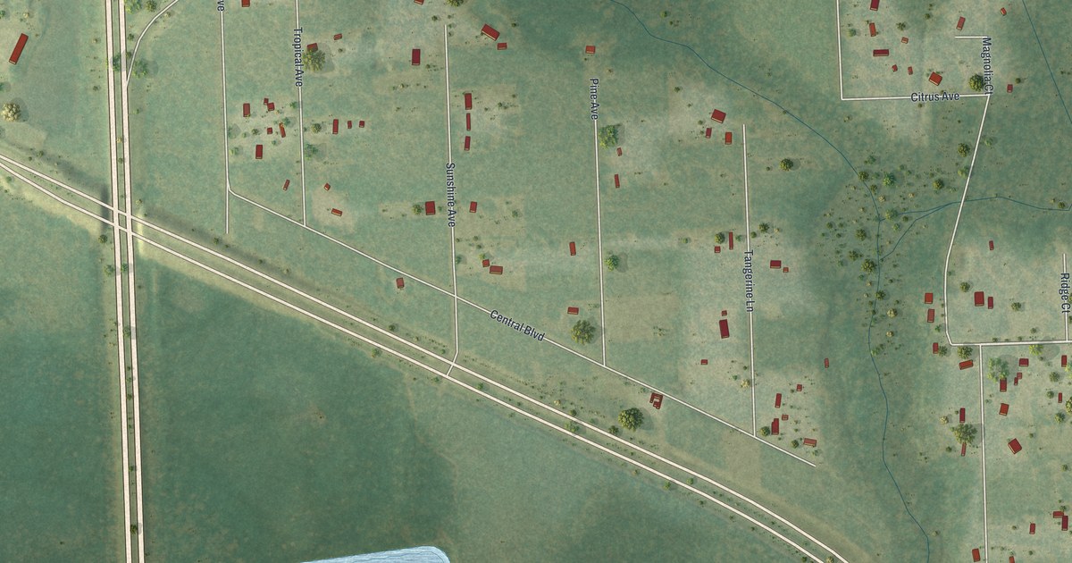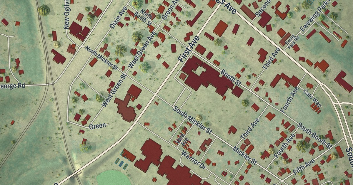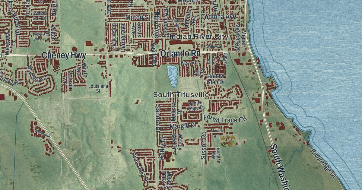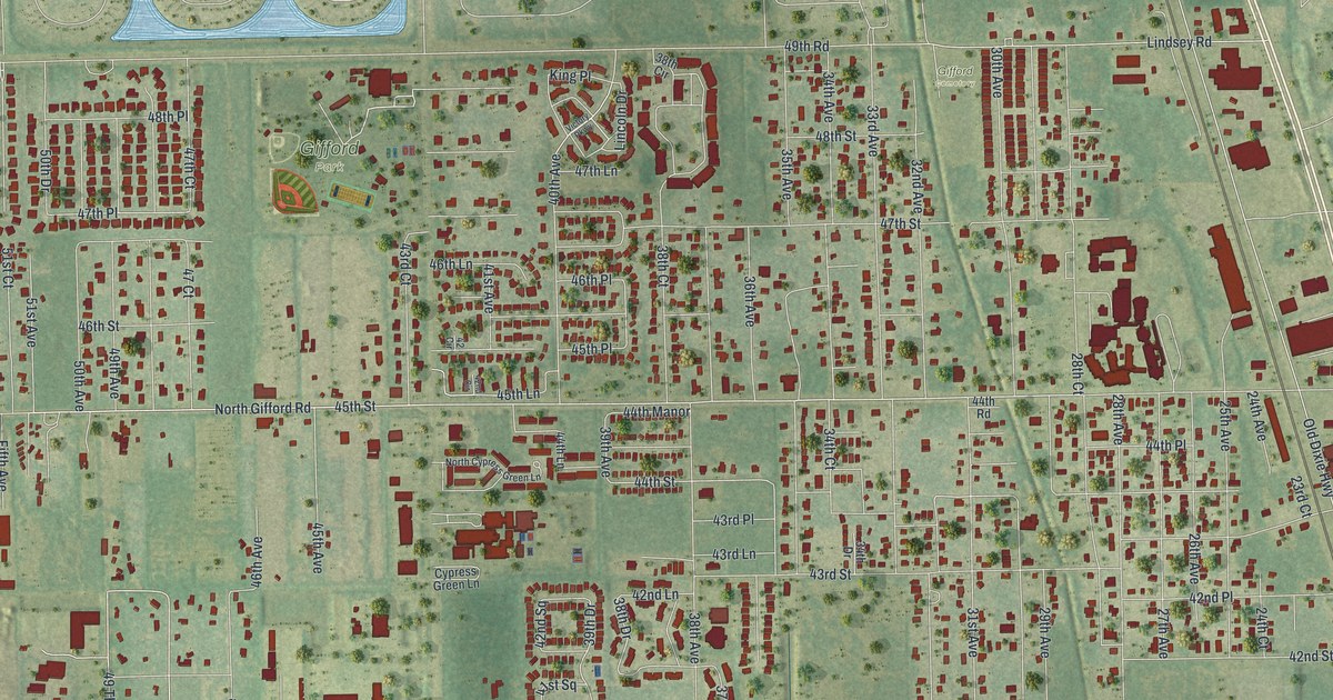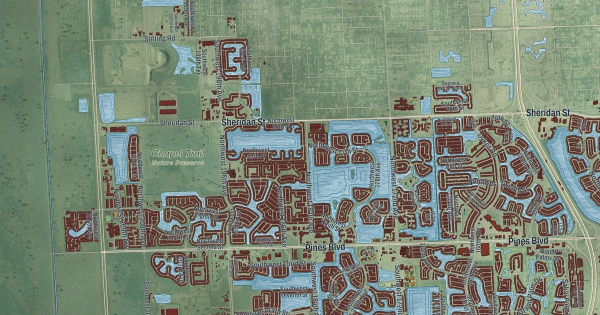
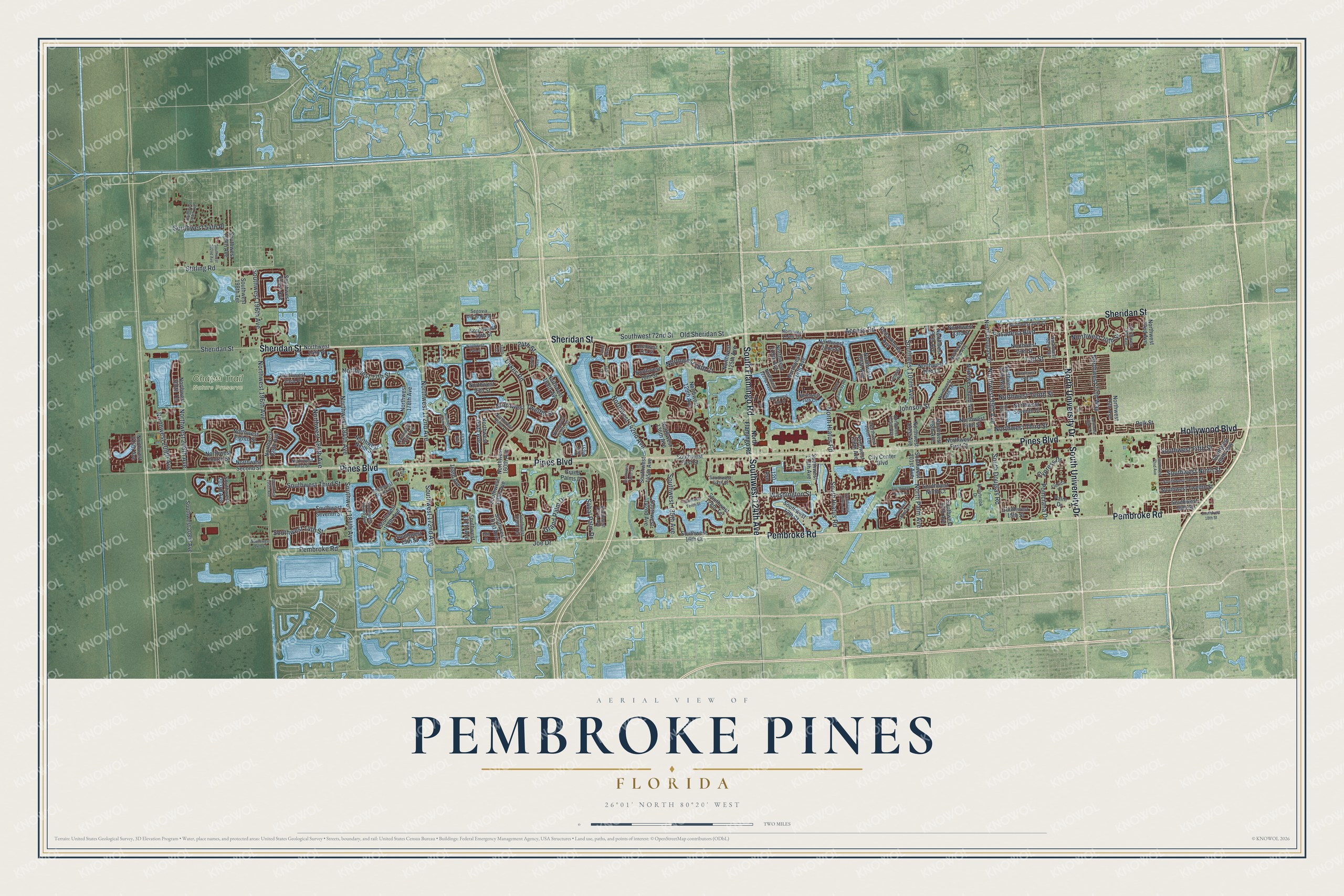
This beautifully detailed map of Pembroke Pines, Florida was created in 2026 using aerial imagery combined with modern topographical, census, street and landmark data. It’s a one-of-a-kind view of Pembroke Pines that combines accurate data with a vintage aesthetic. The map shows every building in its true location, many of the roads carry their names, and the shaded topographic relief shows the shape of the land.
Explore an aerial view of Pembroke Pines, Florida
On the map you’ll find Chapel Trail Nature Preserve, along with Pines Boulevard, Sheridan Street, Pembroke Road, South Flamingo Road, North University Drive, Southwest 124th Avenue, Hollywood Boulevard, South University Drive, Northwest Tenth Street, Northwest 20th Street, Southwest Fifth Street, and more. If you look closely you can even find your house accurately drawn in its correct location. Zoom in on the preview to look for yours.
Did You Know?
The city’s name traces to Sir Edward J. Reed, who sat in Parliament for Pembroke. In 1882 his company bought swampland in South Florida, and a road through one tract became Pembroke Road. First mayor Walter Smith Kipnis suggested Pembroke Pines for the pines growing near that road. The city incorporated in 1960.
Take a closer look at the Pembroke Pines map
Names on this map
These names are printed on this map.
Places: Chapel Trail Nature Preserve.
Streets and roads: Pines Boulevard, Sheridan Street, Pembroke Road, South Flamingo Road, North University Drive, Southwest 124th Avenue, Hollywood Boulevard, South University Drive, Northwest Tenth Street, Northwest 20th Street, Southwest Fifth Street, Northwest Third Street.
More street names, A to Z
15th Street, 24th Street, 120 Avenue, 142nd Terrace, 142nd Way, 152nd Avenue, 157th Avenue, 160th Terrace, 167th Avenue, 168th Avenue, 177th Avenue, Access Road, Cedarwoods Avenue, City Center Boulevard, Cypress Drive, Dykes Road, Fairway Road, Florida Drive, Grand Palm Drive, Grand Palms Drive, Hollybrook Drive, Joe Drive, Johnson Street, North Douglas Road, North Flamingo Road, North Hiatus Road, North Palm Avenue, Northwest 13th Street, Northwest 14th Court, Northwest 14th Street, Northwest 15th Street, Northwest 16th Court, Northwest 17th Street, Northwest 18th Court, Northwest 18th Street, Northwest 19th Street, Northwest 21st Street, Northwest 22nd Street, Northwest 23rd Place, Northwest 23rd Street, Northwest 24th Court, Northwest 24th Place, Northwest 24th Street, Northwest 72nd Avenue, Northwest 74th Avenue, Northwest 76th Avenue, Northwest 77th Way, Northwest 78th Terrace, Northwest 82nd Terrace, Northwest 87th Way, Northwest 88th Avenue, Northwest 89th Avenue, Northwest 92nd Avenue, Northwest 93rd Avenue, Northwest 96th Terrace, Northwest 97th Avenue, Northwest 98th Avenue, Northwest 101st Avenue, Northwest 103rd Avenue, Northwest 106th Avenue, Northwest 106th Terrace, Northwest 108th Avenue, Northwest 114th Avenue, Northwest 114th Terrace, Northwest 119th Avenue, Northwest 122nd Avenue, Northwest 125th Avenue, Northwest 129th Avenue, Northwest 136th Avenue, Northwest 142nd Avenue, Northwest 155th Avenue, Northwest 155th Terrace, Northwest 160th Avenue, Northwest 164th Avenue, Northwest 169th Avenue, Northwest 172nd Avenue, Northwest 175th Avenue, Northwest 178th Avenue, Northwest 184th Avenue, Northwest 186th Avenue, Northwest 195th Avenue, Northwest 196th Avenue, Northwest 208th Avenue, Northwest 208th Terrace, Northwest 209th Avenue, Northwest 215th Avenue, Northwest Eighth Street, Northwest Fifth Street, Northwest First Court, Northwest First Street, Northwest Fourth Street, Northwest Ninth Drive, Northwest Ninth Street, Northwest Second Street, Northwest Seventh Court, Northwest Twelfth Street, Old Sheridan Street, Palm Drive, Pasadena Boulevard, Poinciana Drive, Polk Street, Sabal Palm Drive, Segovia Circle North, South Douglas Road, South Hiatus Road, Southwest 13th Court, Southwest 13th Street, Southwest 14th Court, Southwest 14th Street, Southwest 15th Street, Southwest 16th Court, Southwest 16th Street, Southwest 18th Street, Southwest 54th Place, Southwest 64th Way, Southwest 70th Street, Southwest 72nd Avenue, Southwest 72nd Street, Southwest 97th Avenue, Southwest 100th Avenue, Southwest 101st Avenue, Southwest 102nd Avenue, Southwest 109th Avenue, Southwest 114th Avenue, Southwest 128th Terrace, Southwest 136th Avenue, Southwest 142nd Avenue, Southwest 145th Avenue, Southwest 145th Terrace, Southwest 147th Avenue, Southwest 159th Terrace, Southwest 160th Avenue, Southwest 161st Avenue, Southwest 167th Avenue, Southwest 172nd Avenue, Southwest 178th Avenue, Southwest 182nd Avenue, Southwest 184th Avenue, Southwest 191st Avenue, Southwest 195th Avenue, Southwest 196th Avenue, Southwest 198th Terrace, Southwest 199th Avenue, Southwest 202nd Avenue, Southwest 203rd Avenue, Southwest 205th Avenue, Southwest 208th Avenue, Southwest First Street, Southwest Fourth Street, Southwest Ninth Court, Southwest Ninth Lane, Southwest Ninth Street, Southwest Seventh Street, Southwest Sixth Street, Southwest Tenth Court, Southwest Tenth Street, Southwest Third Street, Southwest Twelfth Street, Stirling Road, Taft Street, Washington Street, West Fairway Road.
See it on a wall
The Pembroke Pines map as a framed print. Swipe for more.


This beautifully detailed map of Pembroke Pines makes an attractive addition to your office, library, or den, and it can even be used to teach children the geography and history of the area. It also makes a great gift for someone who left Pembroke Pines and still calls it home. When you’re done exploring, click here to get your copy of the Pembroke Pines map.