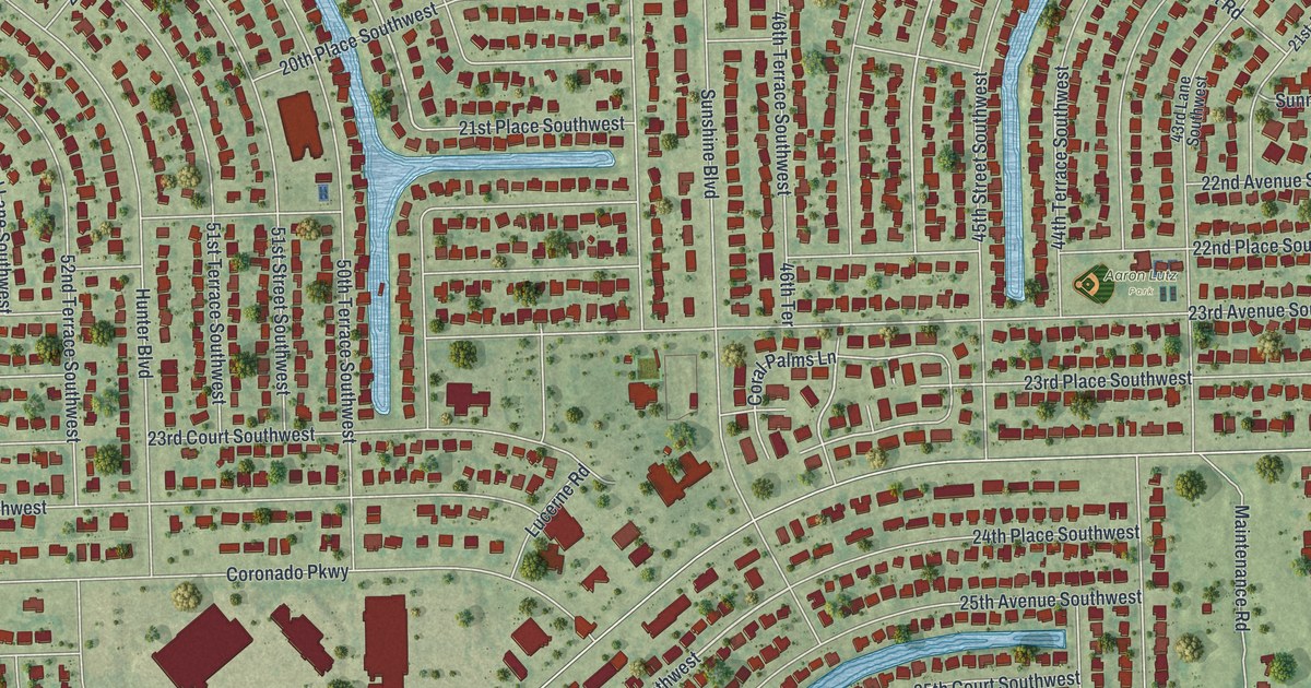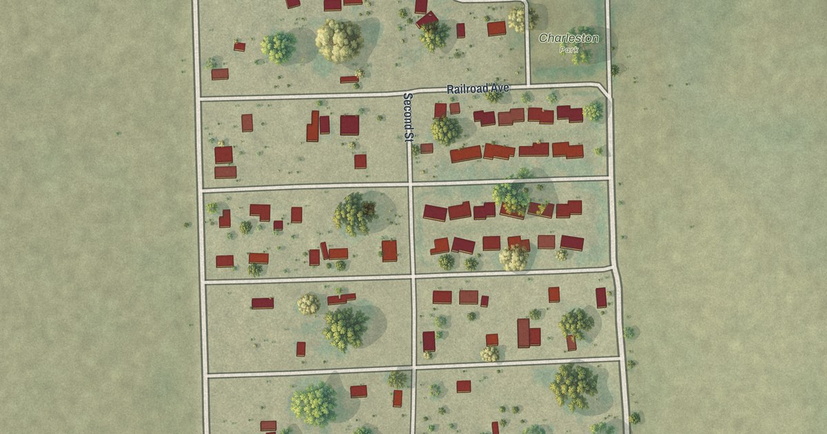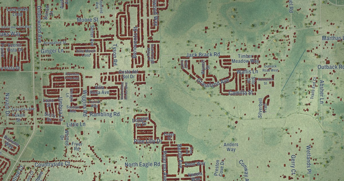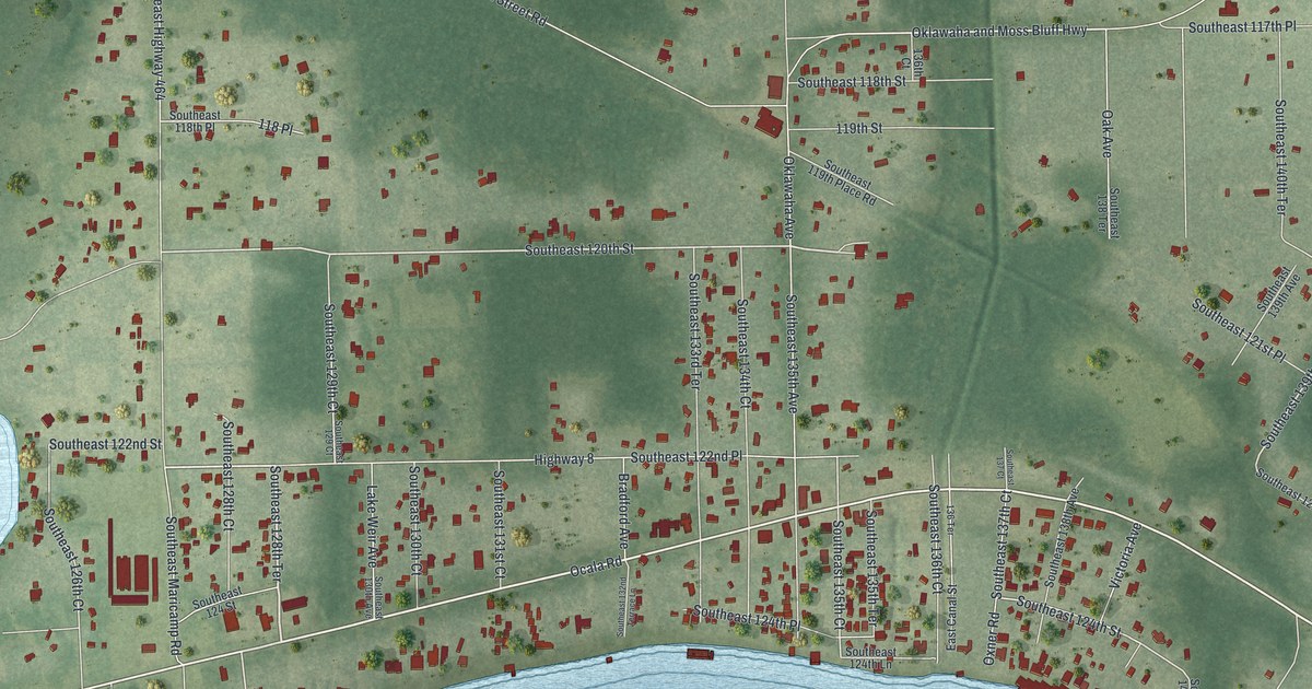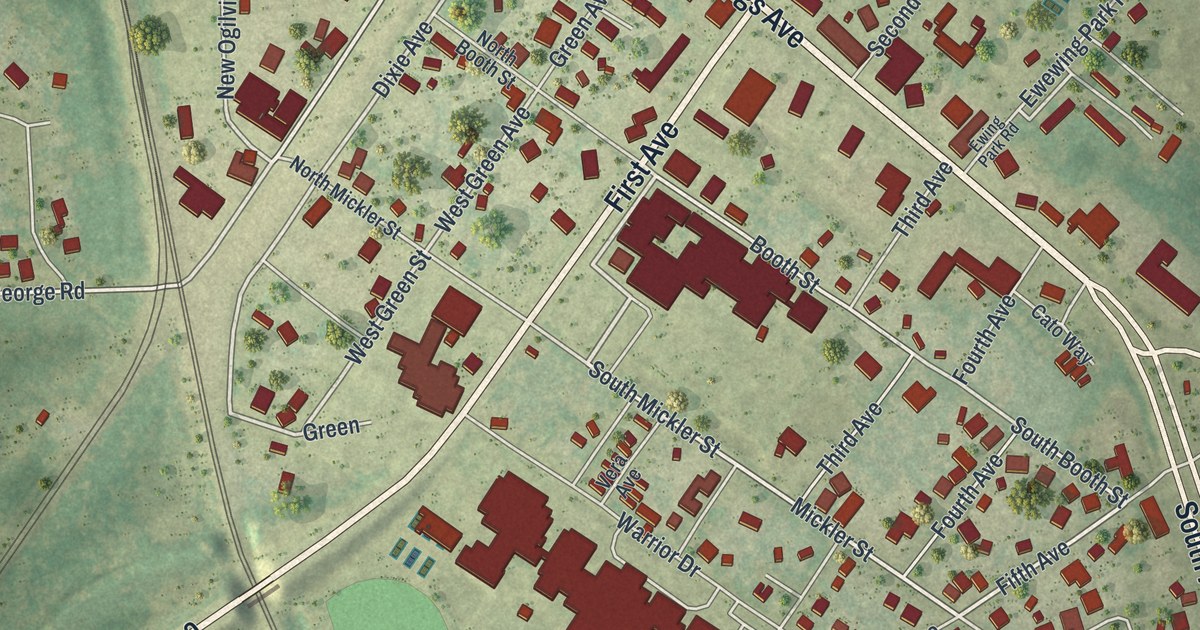
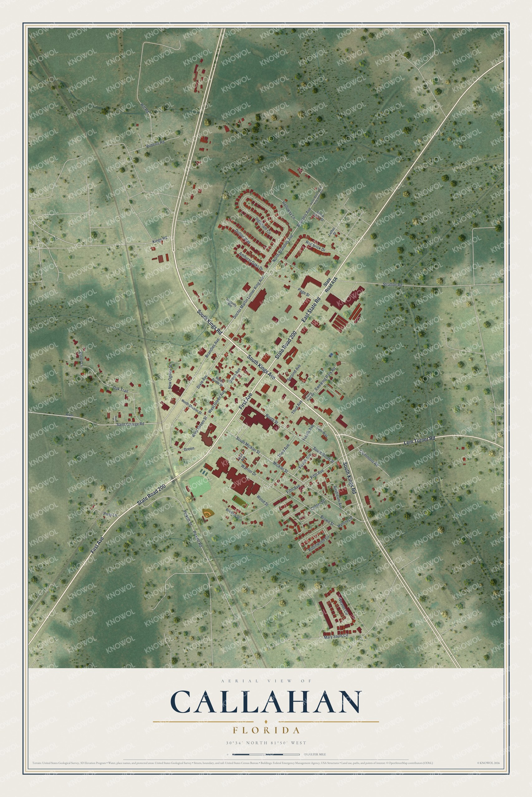
This beautifully detailed map of Callahan, Florida was created in 2026 using aerial imagery combined with modern topographical, census, street and landmark data. It’s a one-of-a-kind view of Callahan that combines accurate data with a vintage aesthetic. The map shows every building in its true location, many of the roads carry their names, and the shaded topographic relief shows the shape of the land.
Explore an aerial view of Callahan, Florida
On the map you’ll find South Kings Road, South Kings Avenue, State Road 200, First Avenue, Lem Turner Road, East State Road, Doctor Martin Luther King Avenue, Mickler Street, Fifth Avenue, Brandies Avenue, West Green Street, Dixie Avenue, and more. If you look closely you can even find your house accurately drawn in its correct location. Zoom in on the preview to look for yours.
Did You Know?
On June 30, 1778, the Battle of Alligator Bridge was fought near Callahan. It was the only major clash of a failed Revolutionary War campaign against British East Florida. The town itself was settled in 1856 and became a municipality in 1911.
Take a closer look at the Callahan map
Names on this map
These names are printed on this map.
Streets and roads: South Kings Road, South Kings Avenue, State Road 200, First Avenue, Lem Turner Road, East State Road, Doctor Martin Luther King Avenue, Mickler Street, Fifth Avenue, Brandies Avenue, West Green Street, Dixie Avenue.
More street names, A to Z
Airstream Avenue, Amhurst Oaks Drive, Annie Laura Street, Booth Street, Brandeis Avenue, Brinkley Street, Brown Street, Butler Lane, Cato Way, Center Street, Clemmons Road, Doctor Martin Luther King Junior Avenue, Dragonfly Way, Dutton Way, Ewewing Park Road, Ewing Park Road, Fourth Avenue, Green, Green Avenue, Hill Road, Holloway Lane, Ingleham Circle, Kings Road, Luther Street, Mahoney Street, Mary Sauls Circle, New Ogilvie Street, North Booth Street, North Brandies Avenue, North Mickler Street, Oak Trail, Page Street, Pickett Road, Pickett Street, Pony Lane, Red Brick Drive, River Place, River Road, Roberts Road, Robinwood Circle, Saint George Road, Second Avenue, South Booth Street, South Mickler Street, Stratton Road, Third Avenue, Vera Avenue, Warrior Drive, Weaver Circle, West Green Avenue, Wood Street.
See it on a wall
The Callahan map as a framed print. Swipe for more.


This beautifully detailed map of Callahan makes an attractive addition to your office, library, or den, and it can even be used to teach children the geography and history of the area. It also makes a great gift for anyone who grew up in Callahan or moved away. When you’re done exploring, click here to get your copy of the Callahan map.