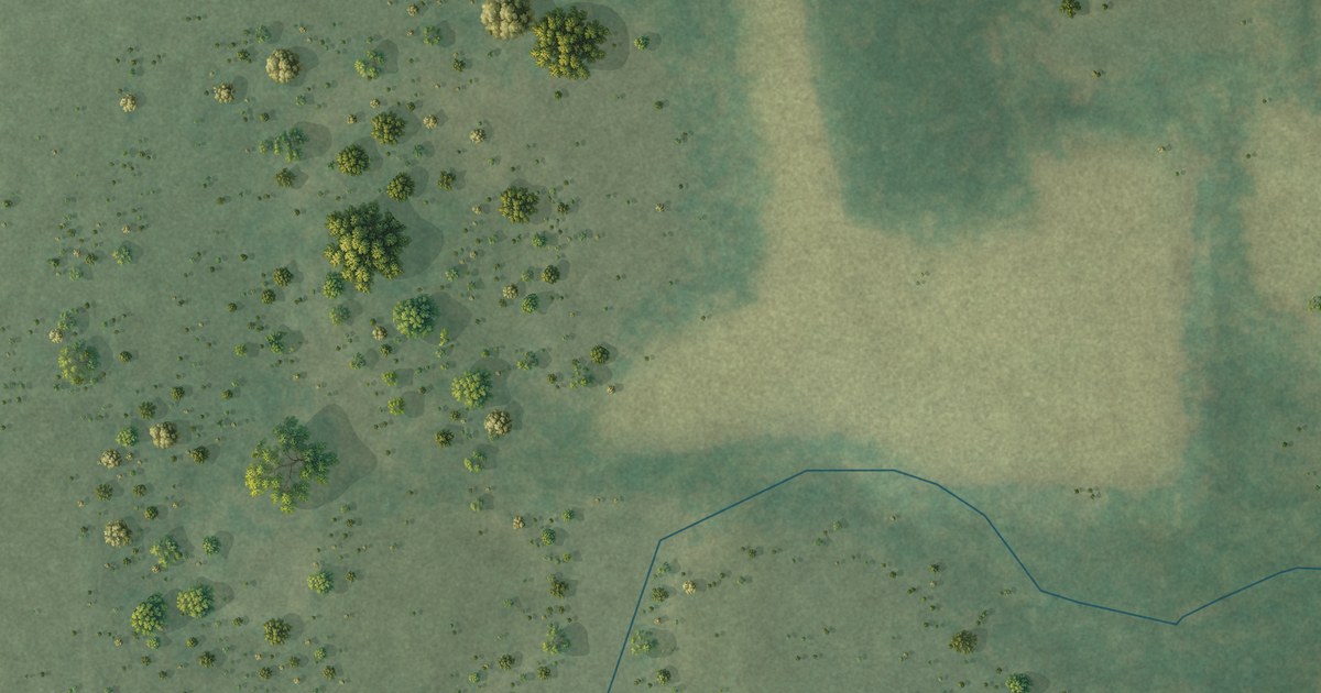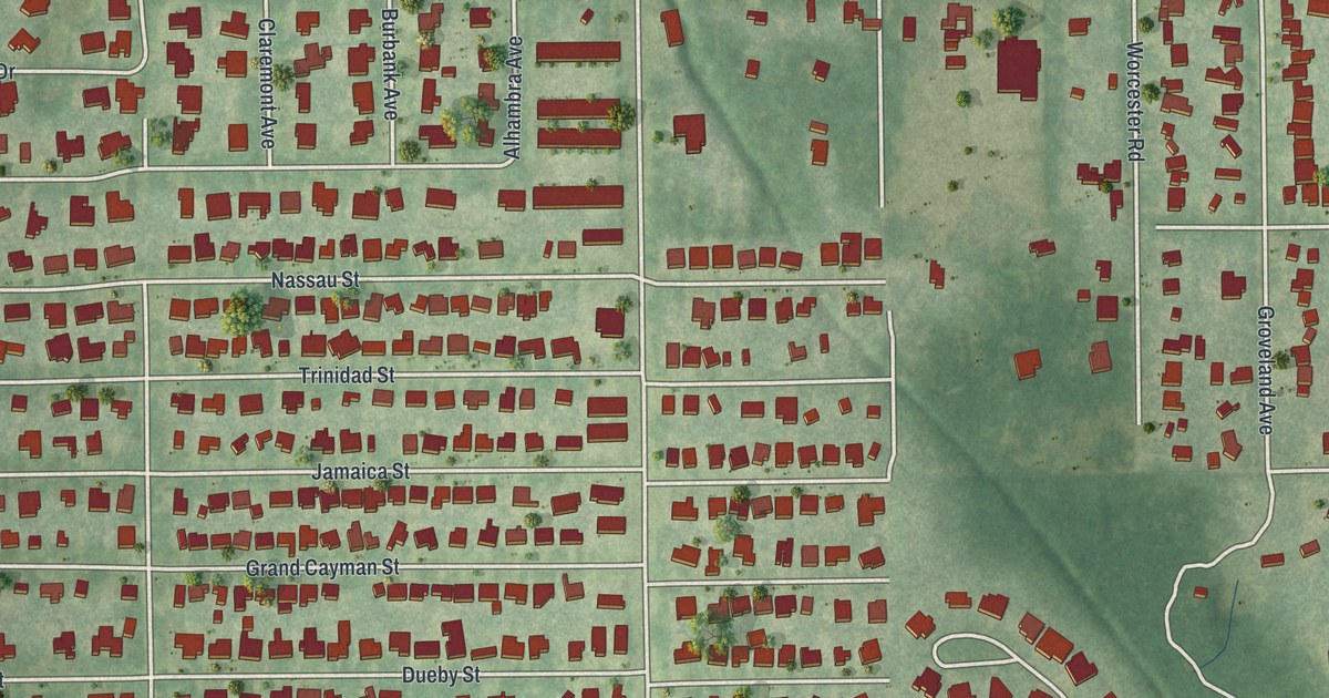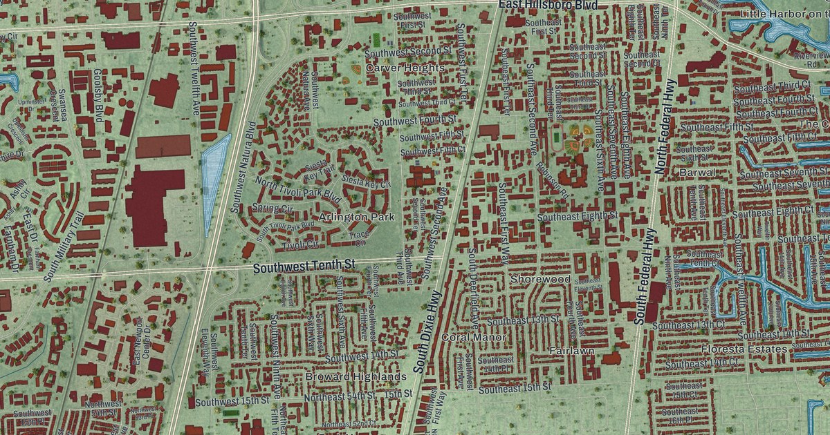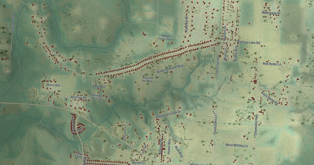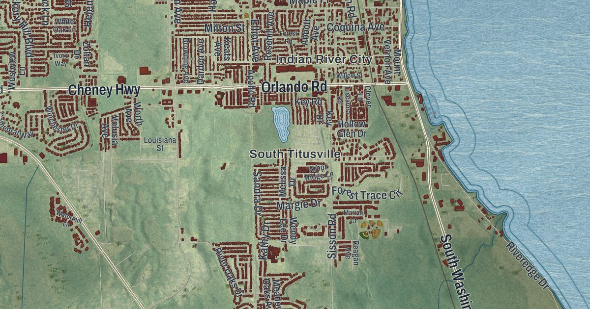
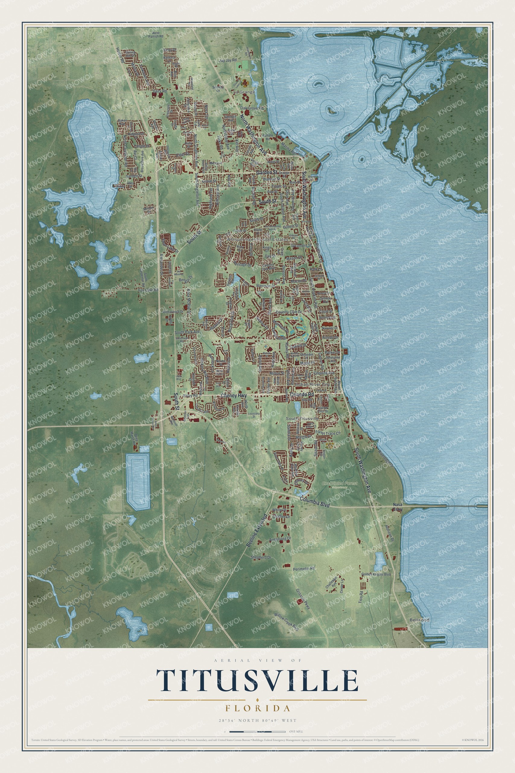
This beautifully detailed map of Titusville, Florida was created in 2026 using aerial imagery combined with modern topographical, census, street and landmark data. It’s a one-of-a-kind view of Titusville that combines accurate data with a vintage aesthetic. The map shows every building in its true location, many of the roads carry their names, and the shaded topographic relief shows the shape of the land.
Explore an aerial view of Titusville, Florida
On the map you’ll find La Grange, Bellwood, Indian River City, South Titusville, Chain of Lakes Park, and Enchanted Forest Sanctuary, along with Washington Avenue, Garden Street, Columbia Boulevard, Cheney Highway, South Street, and more. If you look closely you can even find your house accurately drawn in its correct location. Zoom in on the preview to look for yours.
Did You Know?
Titusville was named for Colonel H. T. Titus, an early resident. It sat at the head of navigation on the Indian River. In the 1880s it was a busy port. A wooden-tracked railroad pulled by mules hauled goods inland as far as Sanford. That’s from the 1939 WPA guide to Florida.
Take a closer look at the Titusville map
Names on this map
These names are printed on this map.
Places: La Grange, Whispering Hills Golf Estates, Chain of Lakes Park, Enchanted Forest Sanctuary, Bellwood, Indian River City and South Titusville.
Streets and roads: North Washington Avenue, Garden Street, Columbia Boulevard, Cheney Highway, South Washington Avenue, South Street, Orlando Road, Beeline Extended, North Dixie Avenue, Barna Avenue, South Park Avenue, Knox McRae Drive.
More street names, A to Z
Abbott Avenue, Airport Road, Alan Drive, Alexander Drive, Allendale Street, Anna Drive, Apollo Road, Arbor Ridge Lane, Argyle Road, Armstrong Drive, Avi Court, Baker Avenue, Barbara Lane, Bengal Drive, Bermuda Street, Beverly Street, Bimini Street, Blanton Street, Bobbi Lane, Brevard Street, Broad Street, Brookshire Avenue, Browning Avenue, Bryan Avenue, Buffalo Road, Byron Avenue, Capron Road, Casi Drive, Cathedral Way, Center Lane, Chaffee Drive, Chain of Lakes Drive, Challenger Avenue, Chicory Drive, Clarewood Boulevard, Clover Lane, Coquina Avenue, Country Club Boulevard, Country Club Drive, Country Lane, Court Street, Craig Avenue, Crescent Drive, Dairy Road, Darden Avenue, Day Street, Deep Marsh Road, Deleon Avenue, Delespine Avenue, Demaret Drive, Diane Drive, Dolphin Road, Doyle Drive, Dummitt Avenue, East Whispering Hills Road, Echo Drive, Elder Street, Elliot Avenue, Elm Terrace, Eloise Avenue, Fairglen Drive, Fife Court, First Avenue, Flake Road, Foley Road, Ford Place, Forest Road, Forest Trace Circle, Forrell Avenue, Fox Hollow Drive, Fox Lake Road, Garnet Avenue, Georgia Avenue, Gibson Street, Gilbert Street, Golden Knights Boulevard, Grissom Parkway, Grove Street, Grovewood Lane, Hammock Road, Harrison Street, Helena Drive, Helen Hauser Boulevard, Hemlock Lane, Heritage Drive, Hickory Hill Boulevard, Highland Terrace, Hillcrest Avenue, Hilltop Drive North, Holder Road, Hollow Glen Drive, Holly Street, Hood Avenue, Horizon Drive, Hunter Park Place, Indian River Avenue, Ivory Way, Jackson Street, Jay Jay Road, Jean Street, Jerry Avenue, Joe Murell Drive, Jolly Street, Jones Street, Kathy Drive, Keats Avenue, Keiser Court, Kel Avenue, Kenneth Court, Key Drive, Key Road, Kilmarnoch Drive, Kings Court, Kirby Drive, La Cita Lane, Lark Court, Larkspur Street, Las Palmas Drive, Liberty Avenue, Lillian Boulevard, Lincoln Avenue, Linda Avenue, Logan Drive, Louisiana Street, Luna Terrace, Lundy Drive, Macon Drive, Main Street, Maple Place, Margie Drive, Marian Court, Marina Road, Mason Drive, Meadow Lark Drive, Meadow Oaks Avenue, Melissa Drive, Melrose Avenue, Merry Lane, Militia Drive, Milton Street, Miriam Drive, Mount Vernon Avenue, Muirfield Drive, Narvaez Drive, Nasa Causeway, Nicklaus Drive, Nidy Avenue, Norma Street, North Carpenter Road, North Singleton Avenue, Nova Terrace, Oak Grove Road, Oakhill Drive, Ojibway Avenue, Oleander Place, Olive Avenue, Orange Street, Overlook Terrace, Parker Drive, Park Lane, Pentax Avenue, Perimeter Road, Pinedo Drive, Pine Street, Pollyanna Drive, Raney Road, Reagan Avenue, Redwood Avenue, Rice Avenue, Ridgewood Drive, Riveredge Drive, River Oaks Drive, Riverside Drive, Riviera Drive, Rockpit Road, Rolling Hill Drive, Rosehill Avenue, Royal Oak Drive, Sabal Palm Lane, Sandra Drive, Satterfield Road, Savannah Boulevard, Sawgrass Drive, Sharon Drive, Shepherd Drive, Sisson Road, Sky Lane, Smith Drive, Smokey Lane, South Carpenter Road, South Deleon Avenue, South Hopkins Avenue, South Singleton Avenue, Sunrise Drive, Swan Lake Drive, Sycamore Street, Tangle Drive, Telka Lynn Drive, Tico Road, Tiwa Lane, Travis Place, Tree Lane, Treetop Drive, Tropic Street, Tuscarora Road, Utes Drive, Valley Lane, Venus Drive, Violet Avenue, Vista Terrace, Volusia Avenue, Wakefield Terrace, Watermill Lane, Wendy Lee Drive, West Parrish Road, Westview Lane, White Drive, White Oak Lane, Willow Creek Boulevard, Willow Street, Winchester Drive, Windover Trail, Windover Way, Worth Avenue, Yorktown Avenue, Zoltan Drive.
See it on a wall
The Titusville map as a framed print. Swipe for more.


This beautifully detailed map of Titusville makes an attractive addition to your office, library, or den, and it can even be used to teach children the geography and history of the area. It also makes a great gift for anyone who grew up in Titusville or moved away. When you’re done exploring, click here to get your copy of the Titusville map.