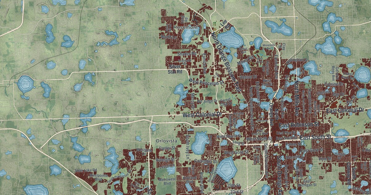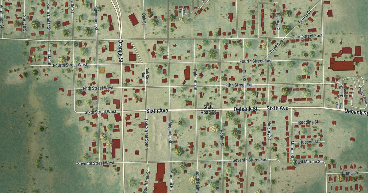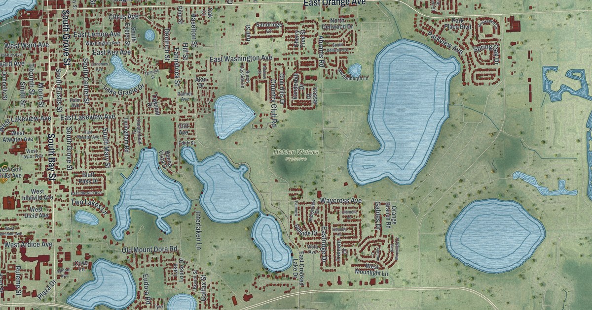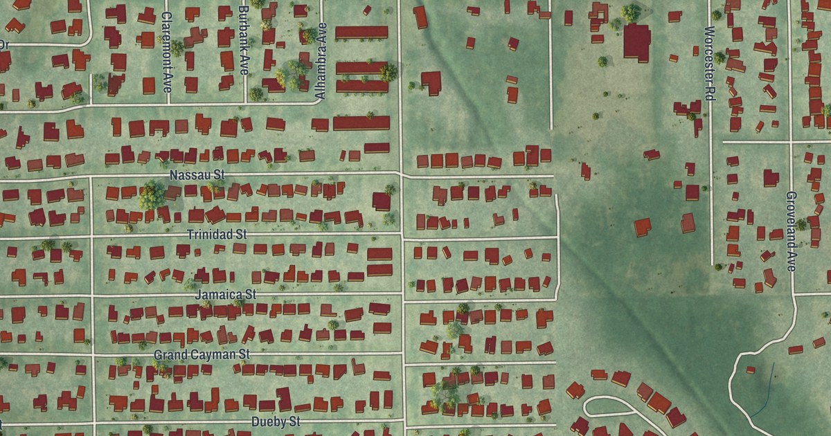
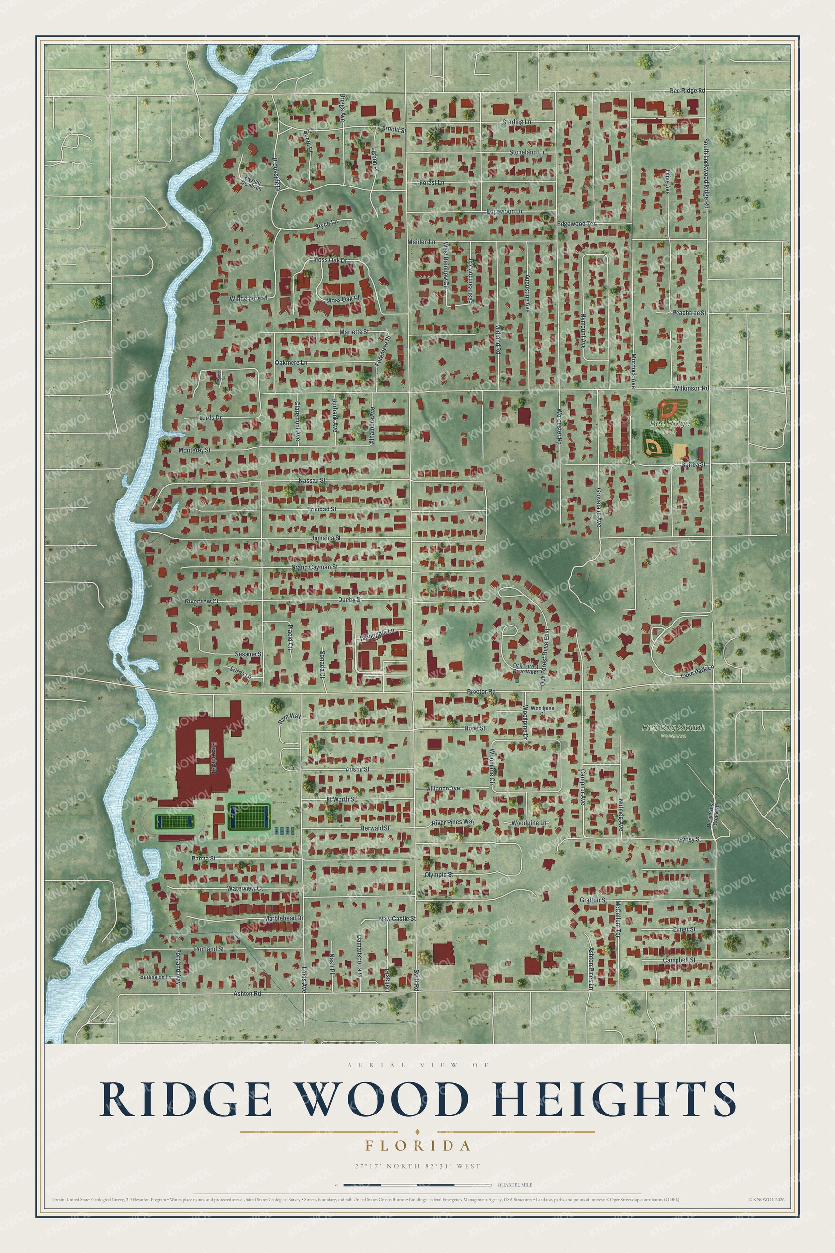
This beautifully detailed map of Ridge Wood Heights, Florida was created in 2026 using aerial imagery combined with modern topographical, census, street and landmark data. It's a modern aerial view of Ridge Wood Heights in Sarasota County, Florida, that combines modern data with a vintage aesthetic. The roads feature printed names, and if you look closely you can find your exact house accurately shown in its correct location.
Explore an aerial view of Ridge Wood Heights, Florida
On this map you'll find Red Bug Slough Preserve, Bee Ridge Park, Woodgate Lane, Lake Park Lane, Swift Road, South Lockwood Ridge Road, Jamaica Street, Ashton Road, Proctor Road, Wilkinson Road, Lords Avenue, Bee Ridge Road, and more. Each red shape is a building, so zoom in on the preview and look for yours.
Ridge Wood Heights is a community in Sarasota County. The Census Bureau counted 5,064 people here in 2020. Ridge Wood Heights sits about 2 miles north of Gulf Gate, 2 miles west of Bee Ridge and 2 miles east of Siesta Key. The map prints the town name in its title panel, with the coordinates below it.
Take a closer look at the Ridge Wood Heights map
Names on this map
These names are printed on this map.
Places: Red Bug Slough Preserve and Bee Ridge Park.
Streets and roads: Woodgate Lane, Lake Park Lane, Swift Road, South Lockwood Ridge Road, Jamaica Street, Ashton Road, Proctor Road, Wilkinson Road, Lords Avenue, Bee Ridge Road, Worcester Road, Murdock Avenue.
More street names, A to Z
Alhambra Avenue, Alliance Avenue, Arnold Street, Ashton Pines Lane, Augustine Avenue, Austin Street, Booth Place, Briggs Avenue, Brookside Drive, Bryce Lane, Burbank Avenue, Burlington Lane, Campbell Street, Camphor Avenue, Claremont Avenue, Dallas Place, Damariscotta Place, Dueby Street, East Rainbow Circle, Edgewood Lane, Edgewood Terrace, Elmer Street, Elysian Woods Lane, Foremere Place, Forest Lane, Ft Worth Street, Grafton Street, Grand Cayman Street, Groveland Avenue, Gypsy Street, Herwald Street, Hope Street, Hymount Avenue, Lisbon Place, Lords Drive, Lords Lane, Maiden Lane, Marblehead Drive, Marlette Street, McCallum Terrace, Midland Road, Monterey Street, Moss Oak Drive, Moss Oak Place, Nash Place, Nassau Street, New Castle Street, Nutmeg Avenue, Oak Forest Drive East, Oak Forest Drive West, Oakmere Lane, Olive Avenue, Olympic Street, Parma Street, Peachtree Street, Placid Circle, Portland Street, Portland Way, Ram Way, Rexrode Road, River Pines Way, Riverview Court, Sesame Street, Sonada Court, Spirea Street, Sterling Lane, Stoneland Lane, Trinidad Street, Waterview Court, West Cross Creek Road, West Rainbow Circle, Wilkinson Circle, Windemere Place, Woodpine Circle, Woodpine Court, Woodpine Drive, Woodpine Lane.
See it on a wall
The Ridge Wood Heights map as a framed print. Swipe for more.


Created by KNOWOL in 2026. The buildings are small red shapes, the roads carry their printed names, and shaded relief shows the shape of the land. The title panel reads "AERIAL VIEW OF RIDGE WOOD HEIGHTS, FLORIDA" with 27°17' NORTH 82°31' WEST.
Hang it in the hallway, the office or the cabin, or give it to someone who left Ridge Wood Heights and still calls it home. Open the preview and look for a street you know. See sizes and frames for the Ridge Wood Heights map.