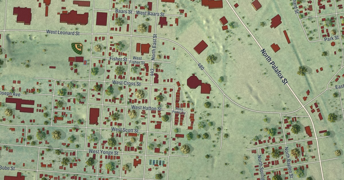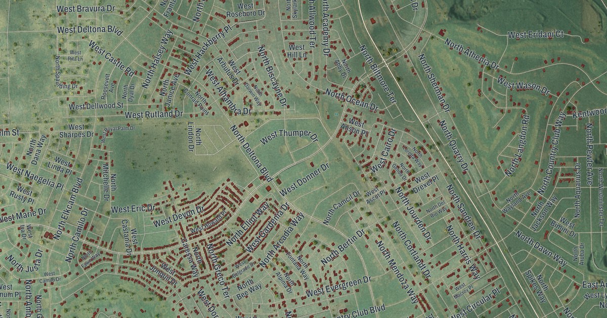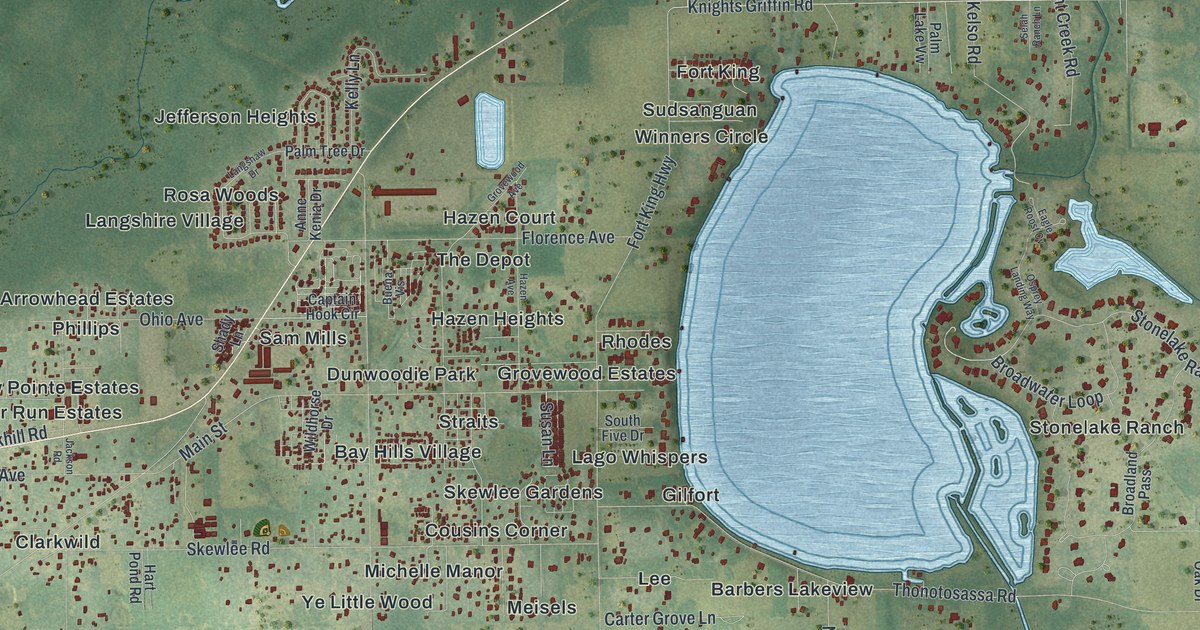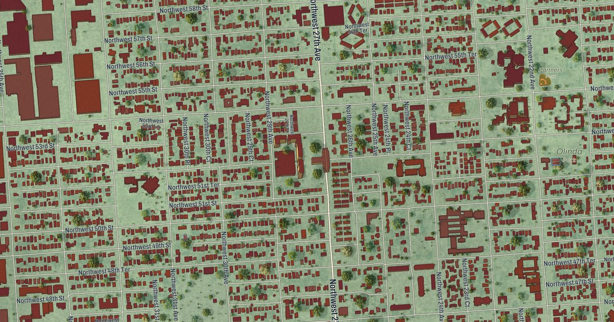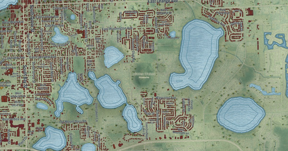
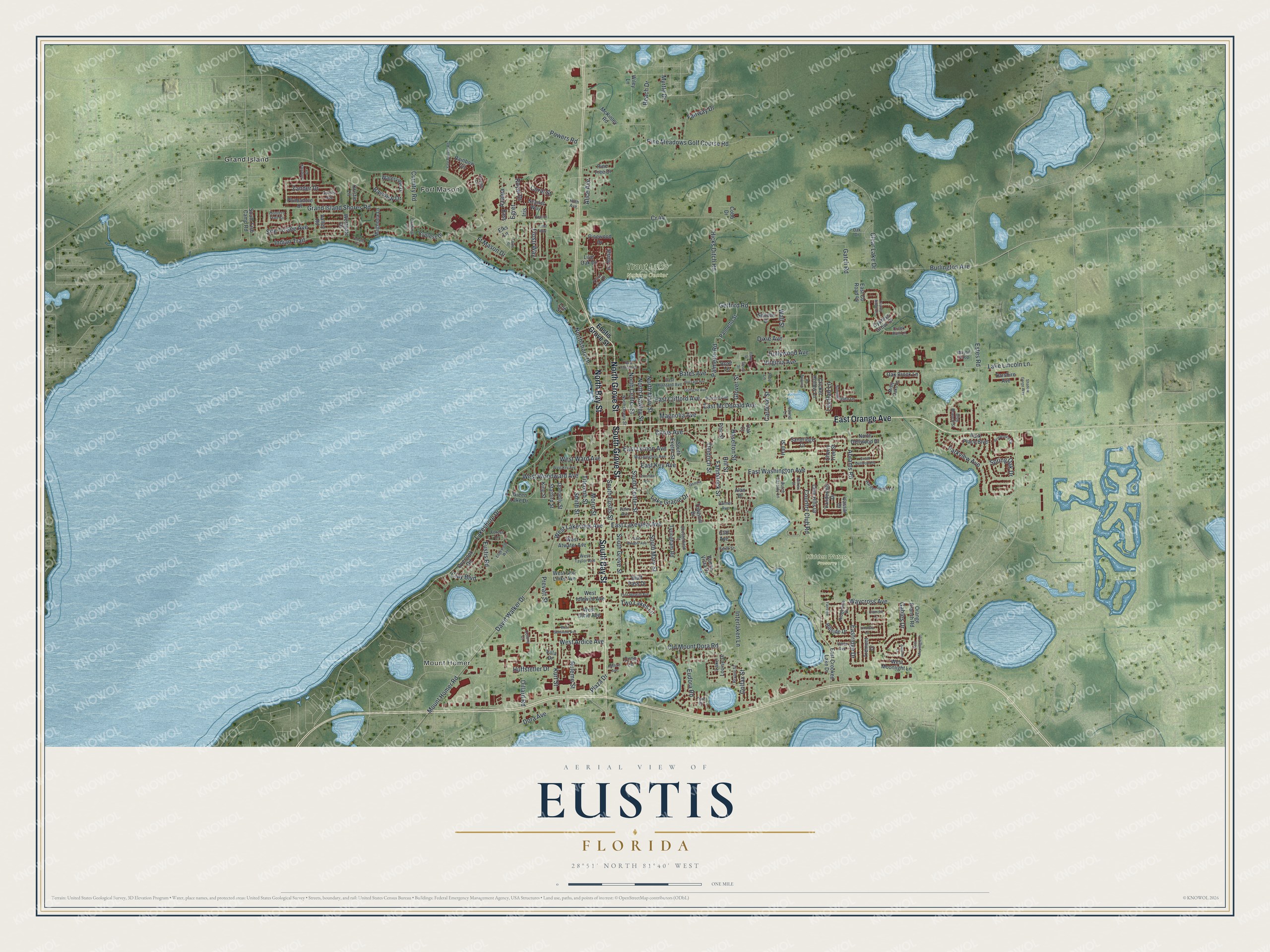
This beautifully detailed map of Eustis, Florida was created in 2026 using aerial imagery combined with modern topographical, census, street and landmark data. It’s a one-of-a-kind view of Eustis that combines accurate data with a vintage aesthetic. The map shows every building in its true location, many of the roads carry their names, and the shaded topographic relief shows the shape of the land.
Explore an aerial view of Eustis, Florida
On the map you’ll find Mount Homer, Fort Mason, Carver Park, Hidden Waters Preserve, Trout Lake Nature Center, and Grand Island, along with South Bay Street, North Bay Street, South Grove Street, East Orange Avenue, North Grove Street, East Lakeview Avenue, and more. If you look closely you can even find your house accurately drawn in its correct location. Zoom in on the preview to look for yours.
Did You Know?
Citrus was the heart of the Eustis economy in the late 1800s. The Great Freeze of 1894 and 1895, and another in 1898 and 1899, ruined the crops. The town bounced back and earned the name Orange Capital of the World. A federal research station here studied citrus diseases.
Take a closer look at the Eustis map
Names on this map
These names are printed on this map.
Places: Mount Homer, Fort Mason, Carver Park, Hidden Waters Preserve, Trout Lake Nature Center and Grand Island.
Streets and roads: South Bay Street, North Bay Street, South Grove Street, East Orange Avenue, North Grove Street, East Lakeview Avenue, West Lakeview Avenue, Kurt Street, Hollywood Avenue, North Mary Street, Bates Avenue, Lakeshore Drive.
More street names, A to Z
Abrams Road, Alan Drive, Alice Avenue, Andrew Street, Ashford Avenue, Autumn Lane, Azalea, Bass, Bayview Drive, Beach Drive, Blue Branch Street, Bluff Pass Drive, Brookshire Circle, Bryant Street, Buena Vista Drive, Burlington Avenue, Butch Cassidy Lane, Cardinal Lane, Cardinal Street, Cherry Tree Street, Chesterfield Court, Citrus Avenue, Clamont Lane, Clay Boulevard, Clear Lake Drive, Cliff Avenue, Club Hills Drive, Cobb Drive, Colfax Street, Colony Court, Coral Street, Country Club Road, Country Road, Cove Lane, Cr 44, Creek Run Lane, Cricket Hollow Lane, Cypress Drive, Cypress Grove Drive, Darshire Avenue, David Walker Drive, Dawe Street, Deidrich Street, Dillard Road, Dixie Avenue, Donnelly Street, Dora Avenue, Dorothy Circle, East Atwater Avenue, East Clifford Avenue, East County Road 44, East Crooked Lake Drive, East Floral Avenue, East Hazzard Avenue, East Idlewild Avenue, East Key Avenue, East Lemon Avenue, East McDonald Avenue, East Moonlight Lane, Eastridge Drive, East Washington Avenue, Edgewood Way, Edith Street, Egret, Elks Lane, Ellsey Street, Estes Road, Eudora Road, Eustis Grove Street, Eustis Road, Fahnstock Street, Fairview, Fairway Drive, Fernshaw Avenue, Foote Street, Forest Lane, Frosti Way, Frost Way, Ft Mason Drive, Gables Drive, Gatch Road, Getford Road, Glover Street, Gottsche Avenue, Grand Island Shores Road, Green Lake Drive, Hall Street, Hardenbergh Lane, Haselton Street, Hazzard Avenue, Hicks Ditch Road, Hillside Drive, Hill Street, Huffstetler Drive, Hunters Trail Circle, Indian Trail, Interlaken Lane, Iris, Jasmine Street, King Street, Kristin Lane, Lake Gracie Drive, Lake Lincoln Lane, Lake Louise Drive, Laurel Lane, Lee Street, Lily Pad Lane, Limerick Cr, Linmont Lane, Live Oak Drive, Magnolia Avenue, Magnolia Lane, Mayhill Loop, McKinley Road, Misty Oaks Lane, Morin Street, Mount Homer Road, Myrtle Drive, North Center Street, North Dellwood Drive, North Dewey Street, North Hawley Street, Northshore Drive, Oak Brook Lane, Oak Court, Oak Drive, Old Mount Dora Road, Opal Lane, Orange Branch Road, Osprey Ridge Drive, Overlook Road, Palm Avenue, Palmer Avenue, Palmetto Road, Palmetto Street, Park Place Boulevard, Parkview Avenue, Pine Lane, Pine Meadows Golf Course Road, Pine Street, Pine Tree Drive, Pinewood Drive, Plaza Drive, Plumadore Drive, Powers Road, Prevatt Street, Rainbow Circle, Ridgeview Drive, Rose Lane, Royal Drive, Ruleme Street, Russell Avenue, Ruth Avenue, Sandridge Cr, Scarlet Way, Selleen Drive, Shadow Gorge Way, Shady Lane, Site To See Avenue, Smith Street, South Center Street, South Dellwood Drive, South Eustis Street, South Exeter Street, South Fish Camp Road, South Mary Street, Spicer Avenue, Spring Oak Drive, Starbird Street, Starlight Circle, Summerglen Lane, Temple Circle, Titcomb Street, Townhill Drive, Tremont Drive, Trout Lake Drive, Two Lakes Lane, Tyre Drive, Tyringham Road, Valley Road, Vanderbilt Drive, Vassar Drive, Villa Drive, Virginia Avenue, Vista Avenue, Wall Street, Washington Avenue, Waterview Drive, Waycross Avenue, West Ardice Avenue, West Atwater Avenue, West Dicie Avenue, Westgate Drive, West Golf Links Avenue, West Idlewild Avenue, West Key Avenue, West Moonlight Lane, West Seminole Avenue, West Taylor Avenue, West Ward Avenue, West Woodward Avenue, Wiley Lane, Yale Retreat Road, Zander Drive.
See it on a wall
The Eustis map as a framed print. Swipe for more.


This beautifully detailed map of Eustis makes an attractive addition to your office, library, or den, and it can even be used to teach children the geography and history of the area. It also makes a great gift for anyone who grew up in Eustis or moved away. When you’re done exploring, click here to get your copy of the Eustis map.