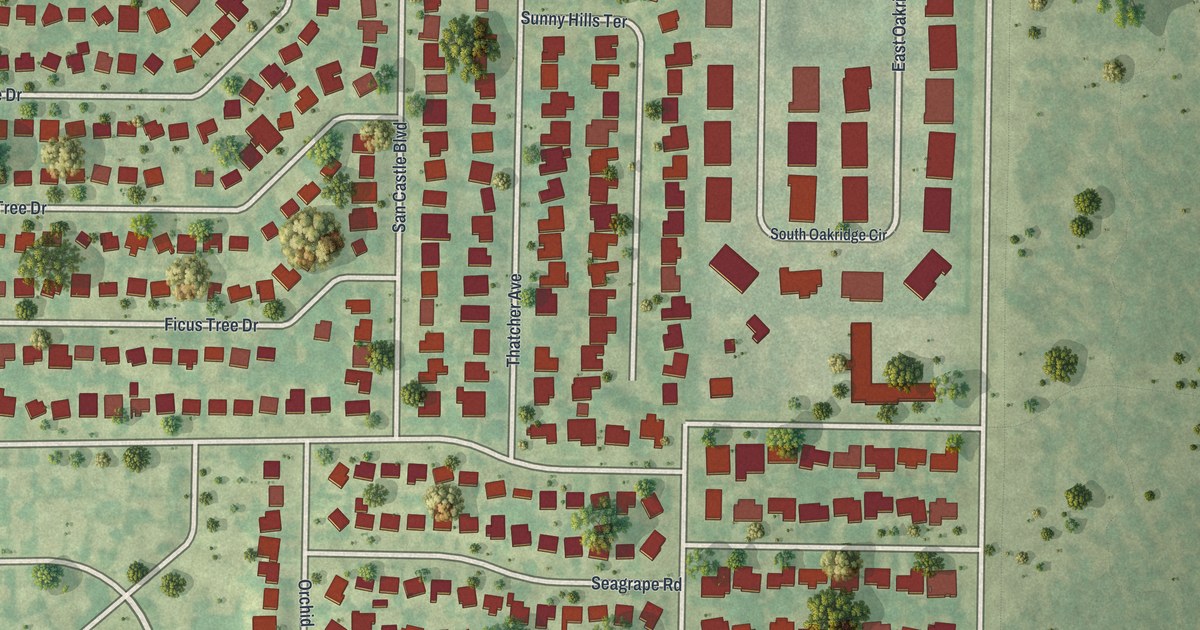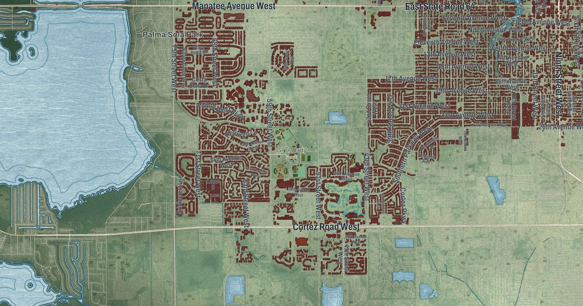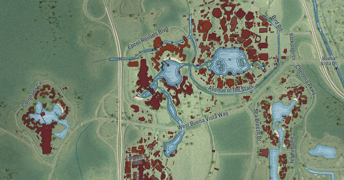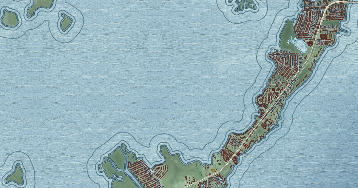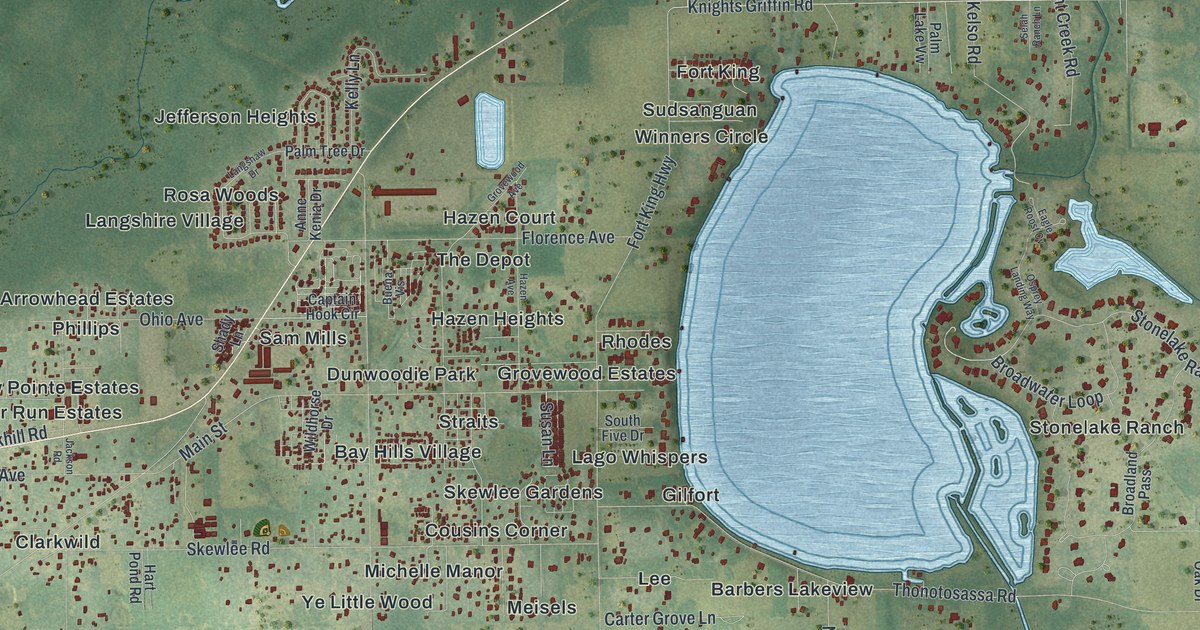
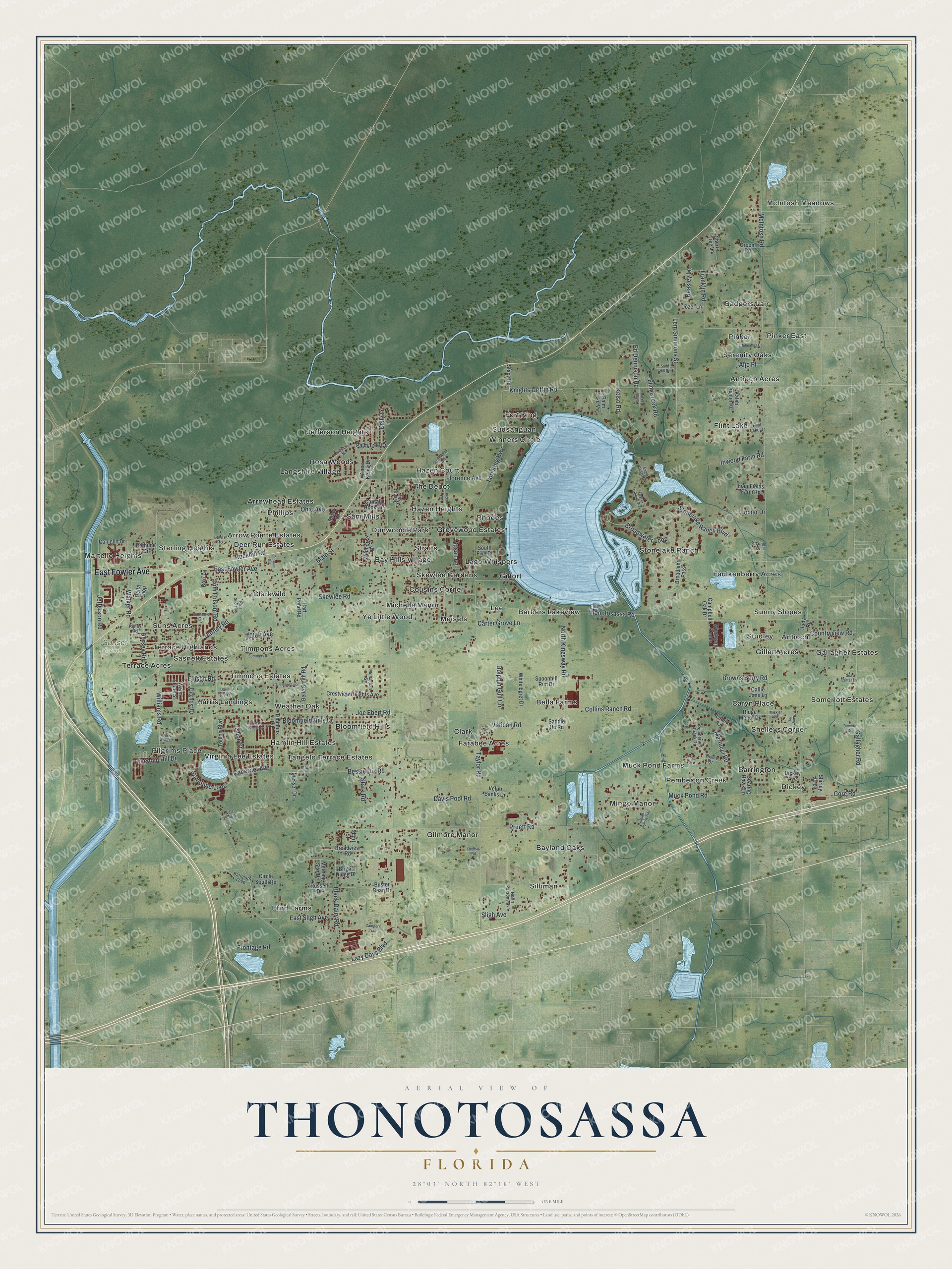
This beautifully detailed map of Thonotosassa, Florida was created in 2026 using aerial imagery combined with modern topographical, census, street and landmark data. It's a modern aerial view of Thonotosassa in Hillsborough County, Florida, that combines modern data with a vintage aesthetic. The roads feature printed names, and if you look closely you can find your exact house accurately shown in its correct location.
Explore an aerial view of Thonotosassa, Florida
On this map you'll find Sunset Gardens, McIntosh Meadows, Shelleys Corner, Langshire Village, Silliman, Flint Lake, Efird Farms, Bella Farms, Fort King, Clarkwild, Tangelo Terrace Estates, Faulkenberry Acres, and more. Each red shape is a building, so zoom in on the preview and look for yours.
Every town has a first chapter, and Thonotosassa is no exception. Thonotosassa and its lake take their name from the Seminole-Creek words thlonoto, meaning flint, and sasse, meaning is there. The name likely came from nearby quarries where flint was dug out for making arrow and spear heads. That's from the book Florida Place Names by Allen Morris.
Thonotosassa is a community in Hillsborough County. The Census Bureau counted 15,238 people here in 2020.
Take a closer look at the Thonotosassa map
Names on this map
These names are printed on this map.
Places: Sunset Gardens, McIntosh Meadows, Shelleys Corner, Langshire Village, Silliman, Flint Lake, Efird Farms, Bella Farms, Fort King, Clarkwild, Tangelo Terrace Estates, Faulkenberry Acres, Badgers Lair, Michelle Manor, Pemberton Creek, Clark, Lago Whispers, Martello Heights, Arrowhead Estates, Gallagher Estates, Hazen Court, Timmons Estates, Mingo Manor, Gilmore Manor, Antioch Acres, Studley, Stonelake Ranch, Barrington, Bloomfield Hills, Somerlott Estates, Dunwoodie Park, Harris Landings, Bayland Oaks, Barbers Lakeview, Arrow Pointe Estates, Rhodes, Lee, Jefferson Heights, Sam Mills, Sasnett Estates, Pinker, Suns Acres, Skewlee Gardens, Virginia Lee Estates, Hazen Heights, Sunny Slopes, Muck Pond Farms, Sterling Heights, Timmons Acres, Bay Hills Village, Meisels, Weather Oak, Pilgrims Place, Dickey, Caryn Place, Terrace Acres, Cousins Corner, The Depot, Straits, Sudsanguan, Rosa Woods, Phillips, Gilfort, Terrace Highlands, Serenity Oaks, Antioch, Farabee Acres, Gillett Acres, Grovewood Estates, Pinker East, Hamlin Hill Estates, Ye Little Wood, Deer Run Estates and Winners Circle.
Streets and roads: East Fowler Avenue, McIntosh Road, Williams Road, Taylor Road, Thonotosassa Road, North Kingsway Road, Harney Road, Muck Pond Road, Knights Griffin Road, Stonelake Ranch Boulevard, Joe Ebert Road, Pruett Road.
More street names, A to Z
108th Avenue, Aljo Place, Anne Kenia Drive, Bartolotti Loop, Beasley Lane, Belle Smith Road, Bessie Dix Road, Bethune Drive, Binnion Drive, Black Dairy Road, Bloomfield Hills Drive, Boki Lane, Bright Ridge Drive, Broadland Pass, Broadview Road, Broadwater Loop, Browns Berry Road, Buena Vis, Buster Bean Drive, Cabernet Avenue, Callie Jane Lane, Campbell Oak Drive, Campers Trail, Captain Hook Circle, Carter Grove Lane, Cherry Tree Lane, Chihuahua Court, Circle South Road, Collins Ranch Road, Coniglio Drive, Countryview Road, Crestview Heights Avenue, Davis Family Place, Davis Pool Road, Dees Willis Lane, Delta Loop, Dickey Avenue, Dolphin Gull Circle, Dozer Lane, Eagle Roost Cv, East Sligh Avenue, Ed Dennison Road, Ellison Road, Flint Creek Road, Flint Lake Drive, Florence Avenue, Fort King Highway, Four Fields Farm Road, Franklin Road, Freedom Hill Drive, Frontage Road, Gallagher Road, Gilchrist Drive, Gore Road, Groom Road, Grovewood Avenue, Harry Place, Hart Pond Road, Hazen Avenue, Hersey Road, Indian Hollow Trail, Inwood Farm Road, Jackson Road, Jefferson Road, Josie Drive, Judy Road, Kaleb Austin Road, Kelly Lane, Kelso Road, Langshaw Drive, Lazy Days Boulevard, Lem Simmons Street, Lewis Road, Lisbon Street, Luana Lane, Main Street, Martucci Road, Mesic Woods Avenue, Messer Drive, Mickler Road, Monaghan Street, Morning Star Drive, North Parsons Avenue, Ohio Avenue, Osprey Landing Way, Palm Lake Vw, Palm Tree Drive, Pemberton Creek Drive, Plover Court, Real Short Road, Ridge Manor Drive, Ripley Road, Rockhill Road, Russell Drive, Saddle Up Road, Sand Hill Road, Sea Critter Lane, Selah Ranch Lane, Shady Lane, Shirley Jo Lane, Short Street, Sicilian Drive, Skewlee Road, Sligh Avenue, Soaring Hawk Lane, Sorbonne Loop, South Five Drive, Spoonbill Run Drive, Stacy Road, Stark Road, Summers Road, Susan Lane, Thomas Road, Timmons Loop, Timmons Road, Tomar Drive, Tom Folsom Road, Toulon Boulevard, Towhe Drive, Troncais Circle, Vatican Road, Velpo Banks Drive, Walker Road, Warm Stone Street, West Fertic Drive, White Egret Drive, Wildhorse Drive, Windward Knolls.
See it on a wall
The Thonotosassa map as a framed print. Swipe for more.


Created by KNOWOL in 2026. The buildings are small red shapes, the roads carry their printed names, and shaded relief shows the shape of the land. The title panel reads "AERIAL VIEW OF THONOTOSASSA, FLORIDA" with 28°03' NORTH 82°18' WEST.
Hang it in the hallway, the office or the cabin, or give it to someone who left Thonotosassa and still calls it home. Open the preview and look for a street you know. See sizes and frames for the Thonotosassa map.