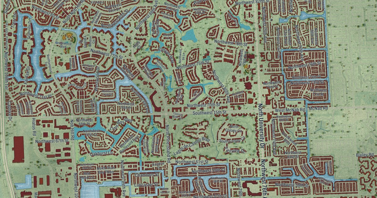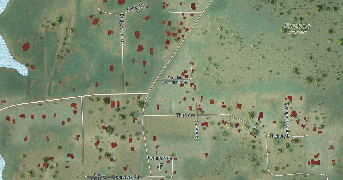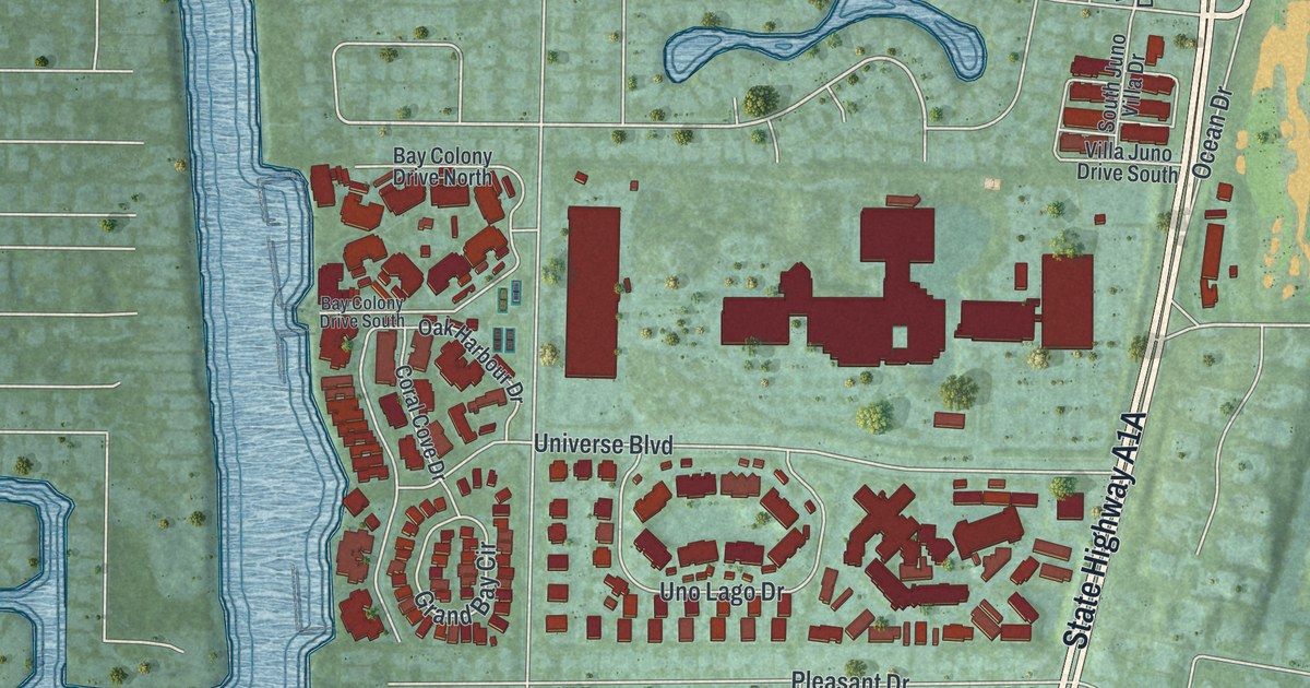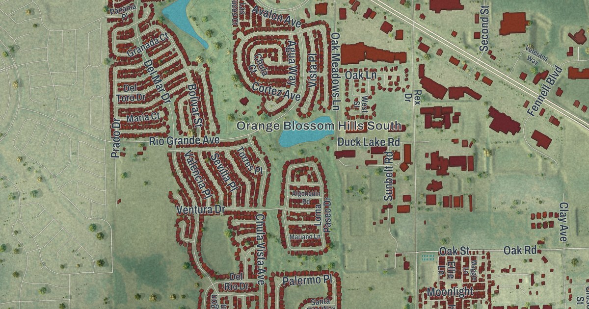
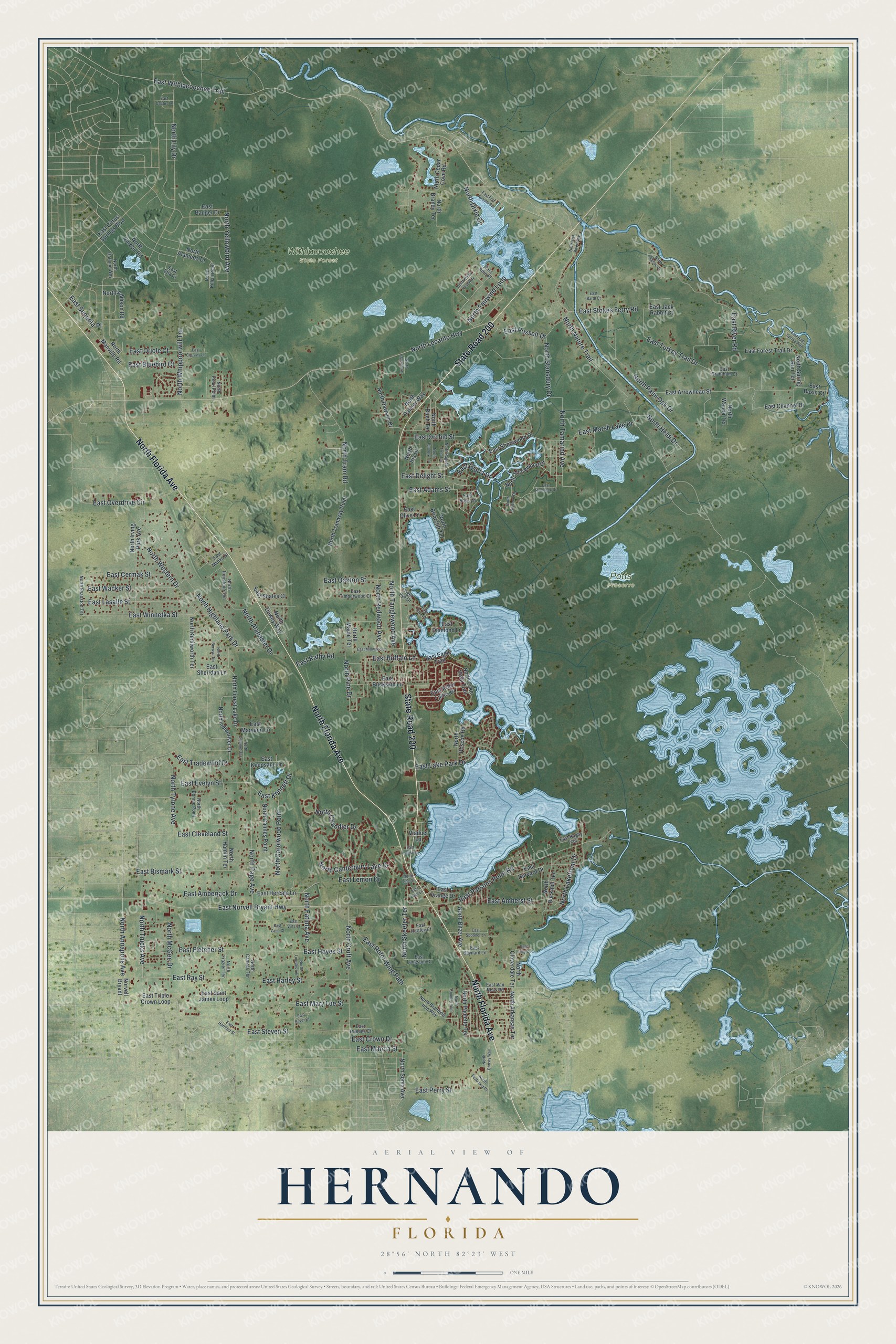
This beautifully detailed map of Hernando, Florida was created in 2026 using aerial imagery combined with modern topographical, census, street and landmark data. It's a modern aerial view of Hernando in Citrus County, Florida, that combines modern data with a vintage aesthetic. The roads feature printed names, and if you look closely you can find your exact house accurately shown in its correct location.
Explore an aerial view of Hernando, Florida
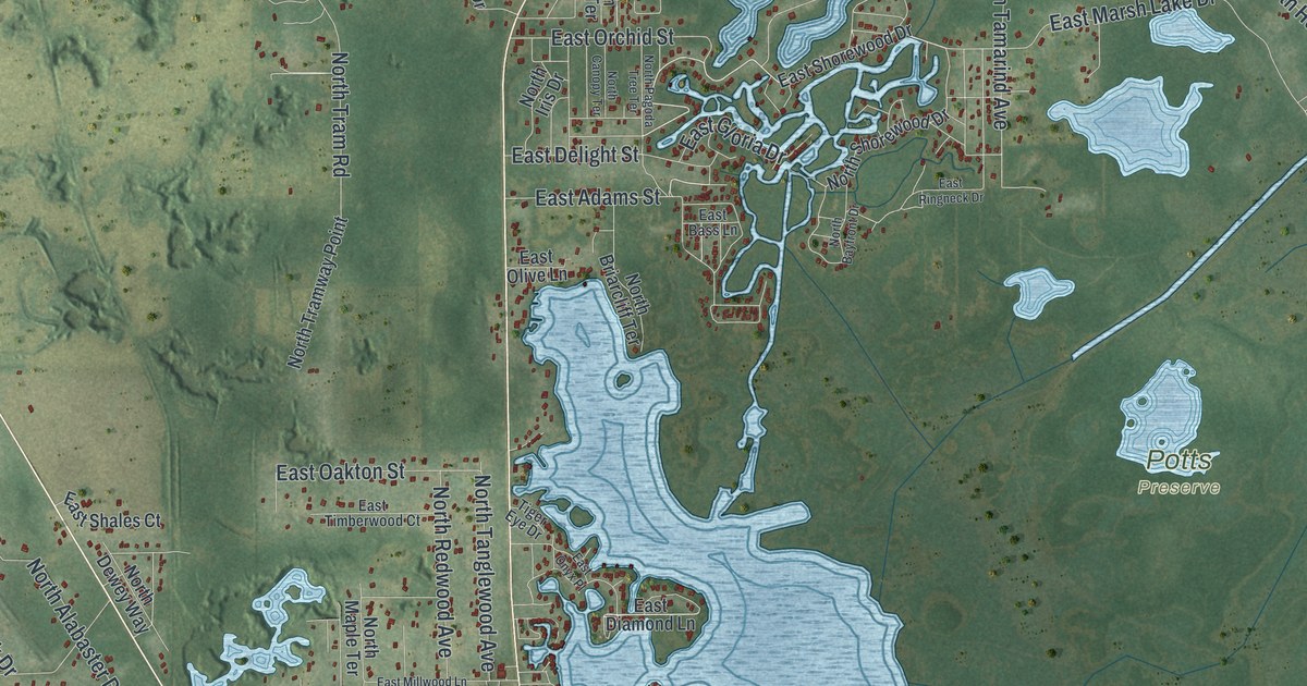
On this map you'll find Potts Preserve, Withlacoochee State Forest, North Florida Avenue, State Road 200, East Withlacoochee Trail, North Lecanto Highway, East Norvell Bryant Highway, East Turkey Trail Drive, North Nature Trail, East Parsons Point Road, East River Road, North Page Avenue, and more. Each red shape is a building, so zoom in on the preview and look for yours.
Every town has a first chapter, and Hernando is no exception. Hernando was named for Hernando De Soto, who crossed the Withlacoochee River nearby. The town was founded in 1881 by the Croft and VanNess families, who settled on the shore of Lake Tsala Apopka. When phosphate was found near Dunnellon in 1889, new residents came to work the mines, and once the railroad arrived Hernando became an important phosphate shipping point. That's from the National Register of Historic Places.
Hernando is a community in Citrus County. The Census Bureau counted 9,284 people here in 2020.
Take a closer look at the Hernando map
Names on this map
These names are printed on this map.
Places: Potts Preserve and Withlacoochee State Forest.
Streets and roads: North Florida Avenue, State Road 200, East Withlacoochee Trail, North Lecanto Highway, East Norvell Bryant Highway, East Turkey Trail Drive, North Nature Trail, East Parsons Point Road, East River Road, North Page Avenue, North Highland Park Drive, East Overdrive Circle.
More street names, A to Z
East Adams Street, East Aero Place, East Amberjack Drive, East Amherst Street, East Arbor Lakes Drive, East Arrowhead Street, East Badger Drive, East Barth Court, East Basin Court, East Bass Lane, East Baynard Lane, East Bismark Street, East Bluebird Court, East Buckskin Lane, East Buffalo Lane, East Cactus Lane, East Cermak Street, East Channel Drive, East Citrus Springs Boulevard, East Cleveland Street, East Cousins Lane, East Crown Drive, East Delight Street, East Diamond Lane, East Eagle Trail, East Etta Court, East Evelyn Street, East Fletcher Street, East Forest Trail Drive, East Fort Apache Place, East Gloria Drive, East Grantham Court, East Halls Spring Path, East Harley Street, East Hartford Street, East Hartley Court, East Harvard Drive, East Hayes Street, East Hercala Lane, East Jack Rabbit Court, East Kathy Road, East Keepsake Lane, East Kennett Drive, East Lake Lane, East Lake Park Drive, East Langspur Court, East Lasalle Street, East Lemon Drive, East Louise Lane, East Lucy Court, East Manko Drive, East Marcia Street, East Marsh Lake Drive, East Maryann Lane, East Mary Lue Street, East Millwood Lane, East Oakton Street, East Olive Lane, East Onyx Place, East Orange Drive, East Orchid Street, East Oriole Court, East Perry Street, East Posselt Drive, East Queens Court, East Ray Street, East Ringneck Drive, East Rotor Wing Path, East Rugby Trail, East Saint James Loop, East Sequoia Place, East Shales Court, East Sheridan Lane, East Shorewood Drive, East Silver Court, East Spooner Lane, East Steven Street, East Stokes Ferry Road, East Timberwood Court, East Tradewind Drive, East Triple Crown Loop, East Van Ness Road, East Virts Court, East Wacker Street, East Winnetka Street, East Zane Court, North Addison Road, North Alabaster Drive, North Alameda Drive, North Annapolis Avenue, North Arkansas Terrace, North Bayfront Drive, North Berwyn Terrace, North Birch Terrace, North Bitzer Avenue, North Bonnie Point, North Branding Iron Way, North Brandy Terrace, North Briarcliff Terrace, North Bucknell Terrace, North Calumet Terrace, North Camola Terrace, North Cannes Point, North Canopy Terrace, North Canterbury Lake Drive, North Carolwood Point, North Cedar Cove Road, North Chandler Drive, North Christy Way, North Clark Point, North Cloverdale Terrace, North Country Point, North Croft Avenue, North Dawson Drive, North Dewey Way, North Dixie Drive, North Evanston Terrace, North Fairwind Loop, North Fatima Avenue, North Forest Lake Drive, North Frazier Terrace, North Garland Way, North Gignac Drive, North Hamlin Terrace, North Heidi Drive, North Indianriver Drive, North Iris Drive, North Ironstone Terrace, North Irving Park Avenue, North Kenilworth Terrace, North Killian Point, North Lakefront Drive, North Lake Vista Trail, North Lily Drive, North Line Drive, North Lourdes Terrace, North Manville Road, North Maple Terrace, North McGee Drive, North Oak River Way, North Pagoda Tree Terrace, North Palmer Way, North Palm Oak Drive, North Paulette Terrace, North Pearl Point, North Pine Drive, North Redwood Avenue, North Roscoe Road, North Seaboard Court, North Shorewood Drive, North Skeeter Terrace, North Sonia Avenue, North Spring Run Terrace, North Stansdury Drive, North Tamarind Avenue, North Tanglewood Avenue, North Tram Road, North Tramway Point, North Trucks Avenue, North Tyrone Avenue, North Vardon Road, North Wanda Terrace, North Western Drive, North Whippoorwill Terrace, North Wiley Post Way, North Yellowbird Avenue, Norvell Bryant, Tiger Eye Drive, Viaduct Lane.
See it on a wall
The Hernando map as a framed print. Swipe for more.


Created by KNOWOL in 2026. The buildings are small red shapes, the roads carry their printed names, and shaded relief shows the shape of the land. The title panel reads "AERIAL VIEW OF HERNANDO, FLORIDA" with 28°56' NORTH 82°23' WEST.
Hang it in the hallway, the office or the cabin, or give it to someone who left Hernando and still calls it home. Open the preview and look for a street you know. See sizes and frames for the Hernando map.