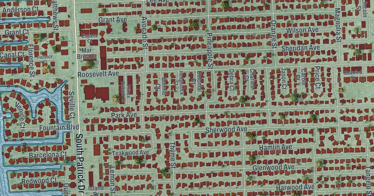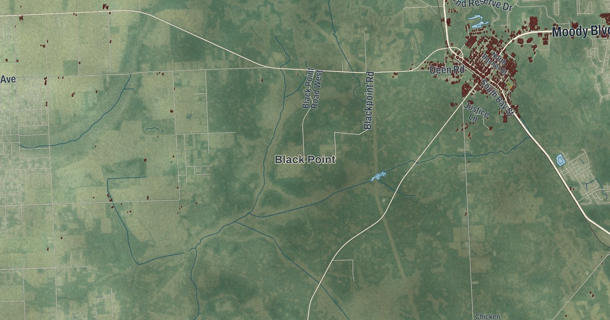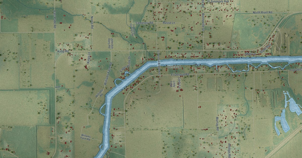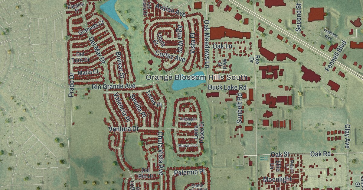
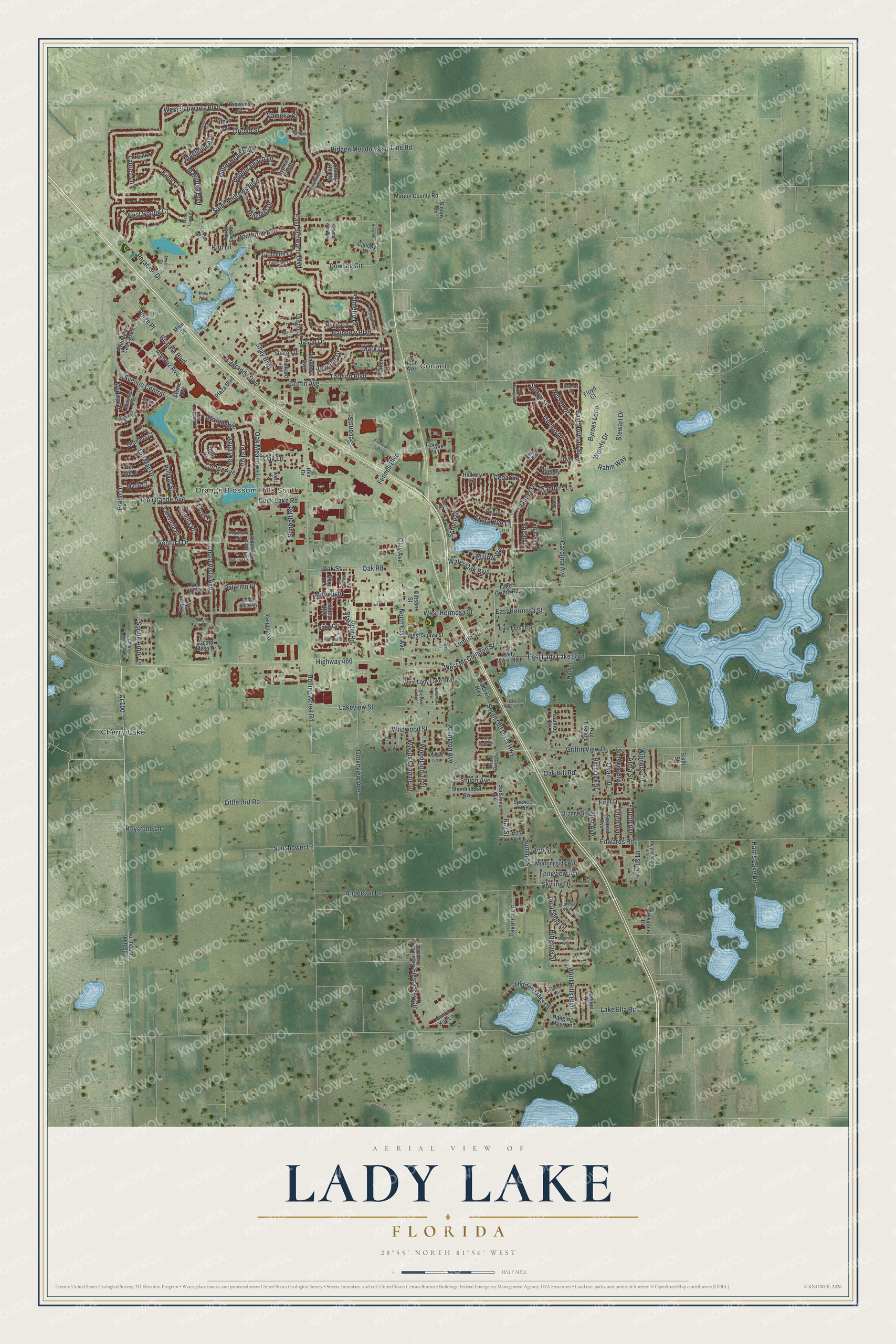
This beautifully detailed map of Lady Lake, Florida was created in 2026 using aerial imagery combined with modern topographical, census, street and landmark data. It’s a one-of-a-kind view of Lady Lake that combines accurate data with a vintage aesthetic. The map shows every building in its true location, many of the roads carry their names, and the shaded topographic relief shows the shape of the land.
Explore an aerial view of Lady Lake, Florida
On the map you’ll find Conant, Orange Blossom Hills South, and Cherry Lake, along with West McClendon Street, East Lady Lake Boulevard, Bichara Boulevard, Water Oak Boulevard, West Boone Court, North Clay Avenue, Rio Grande Avenue, Avalon Avenue, South Old Dixie Highway, and more. If you look closely you can even find your house accurately drawn in its correct location. Zoom in on the preview to look for yours.
Did You Know?
Lady Lake took its name from a lake in the area, on land that was once Seminole territory. The railroad helped it grow from about 1883, and it was incorporated in 1925. The town is known as the birthplace of The Villages.
Take a closer look at the Lady Lake map
Names on this map
These names are printed on this map.
Places: Conant, Orange Blossom Hills South and Cherry Lake.
Streets and roads: Cr 100, West McClendon Street, East Lady Lake Boulevard, Bichara Boulevard, Water Oak Boulevard, West Boone Court, North Clay Avenue, Rio Grande Avenue, Avalon Avenue, South Old Dixie Highway, Evergreen Lane, First Drive.
More street names, A to Z
Agua Way, Algonquin Road, Alma Street, Aloha Way, Alverez Avenue, Alverz Avenue, Amarillo Place, Anderson Lane, Ann Street, April Hills Boulevard, Aragon Lane, Arlington Avenue, Avenue Central, Avenue de Las Casas, Bemen Drive, Bishop Drive, Bolivar Street, Bonita Drive, Bradley Lane, Brevard Avenue, Bug Tussel Lane, Byrnes Loop, Camelia Court, Canopy Lane, Carolina Avenue, Carriage Lane, Cedar Lane, Cherry Blossom Lane, Cherry Hill Road, Chula Court, Chula Vista Avenue, Cierra Oaks Cr, Citrus Lane, Clay Avenue, Club View Boulevard, Conch Key Lane, Cortez Avenue, Costa Mesa Drive, Cypress Point, Del Mar Drive, Del Rio Drive, Del Toro Drive, Devon Drive, Dowling Circle, Duck Lake Road, Dustin Drive, East Hermosa Street, East Lakeview Street, East Lemon Street, East Norman Street, East Schwartz Boulevard, Edwards Road, Ellie Lane, Encino Lane, Fennell Boulevard, Fiesta Key Circle, First Avenue, First Street, Floyd Court, Fourth Avenue, Gibson Street, Granada Court, Griffin Avenue, Griffin View Drive, Grimes Drive, Groveview Avenue, Hanging Moss Lane, Harris Lake Road, Hawthorne Avenue, Heathrow Avenue, Hibiscus Drive, Hibiscus Street, Hickory Hill, Hidden Meadows Lane, Hidden Oaks Drive, Highland Trail, Highway 466, Hillcrest Drive, Hilltop Boulevard, Hilton Head Boulevard, Hitchcock Street, Hood Avenue, Hurl Place, Irwin Street, Ivanhoe Circle, Jacaranda Drive, Jason Drive, Jennifer Drive, Kelsea Circle, Keystone Drive, Keystone Lane, Kiley Court, Kim Lane, Lady Lake Boulevard, Lagrande Boulevard, Lake Ella Road, Lake Griffin Road, Lakeview Street, Las Cruces Court, Lauren Lane, Lemon Street, Lester Drive, Line Road, Lintz Lane, Little Dirt Road, Loma Paseo Drive, Longview Avenue, Maggie Lane, Magnolia Avenue, Magnolia Boulevard, Magnolia Way, Main Street, Maple Drive, Maria Court, Mariano Lane, Marigold Drive, Marion County Road, Mark Avenue, Mark Drive, Matthew Avenue, Meadow View Way, Medira Drive, Mendoza Boulevard, Mimosa Way, Moonlight, Morningside Avenue, Nelson Drive, Nicklaus Court, Northeast 90th Street, Oak Hill Road, Oak Lane, Oak Meadows Lane, Oak Road, Oak Street, Old Dixie Highway, Oleander Street, Orange Street, Orchid Street, Owen Drive, Padgett Circle, Paige Place, Palermo Place, Palm Circle, Palmer Drive, Palmetto Drive, Panama Place, Pangola Drive, Paradise Drive, Parker Place, Pebble Beach Lane, Pine Drive, Pinehurst Drive, Plantation Drive, Plaza Boulevard, Pompano Lane, Prado Drive, Quail Drive, Rahm Way, Rainbow Boulevard, Ray Street, Rex Drive, Richard Drive, Ridgecrest Lane, Rolling Acres Road, Rose Lane, Saint Andrews Boulevard, Sanders Lane, Santa Rita Way, Second Avenue, Second Street, Sevilla Place, Shannon Lane, Sharon Drive, Shay Boulevard, Shenandoah Avenue, Shiloh Avenue, Sixth Street, Skyline Drive, Sleepy Lane, Snead Drive, Spencer Lane, Spring Arbor Lane, Spruce Drive, Starlight Road, Stewart Drive, Sugar Loaf Key Loop, Summit Street, Sunbelt Road, Sunshine Avenue, Sunshine Boulevard, Sunshower Lane, Sutton Street, Tangerine Drive, Tara Oaks Circle, Tarrson Boulevard, Tavaren Lane, Teague Trail, Third Avenue, Torres Place, Torrey Pines Drive, Trevino Drive, Turnberry Lane, Valencia Place, Ventura Drive, Veterans Way, Vista Place, Water Tower Circle, West Guava Street, West Hermosa Street, West Lady Lake Boulevard, West Norman Street, West Schwartz Boulevard, West Street, Wildwood Street, Willow Way, Winners Circle, Woodland Trail, Woods Drive, Woods Landing Drive.
See it on a wall
The Lady Lake map as a framed print. Swipe for more.


This beautifully detailed map of Lady Lake makes an attractive addition to your office, library, or den, and it can even be used to teach children the geography and history of the area. It also makes a great gift for anyone who grew up in Lady Lake or moved away. When you’re done exploring, click here to get your copy of the Lady Lake map.