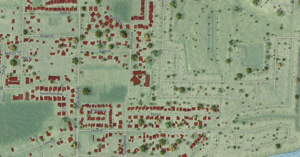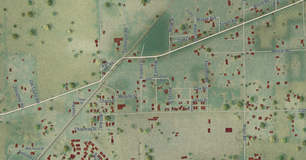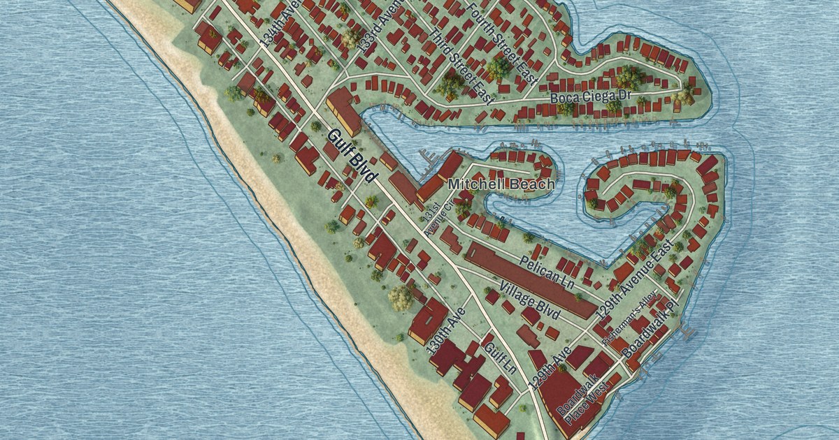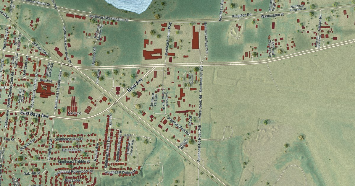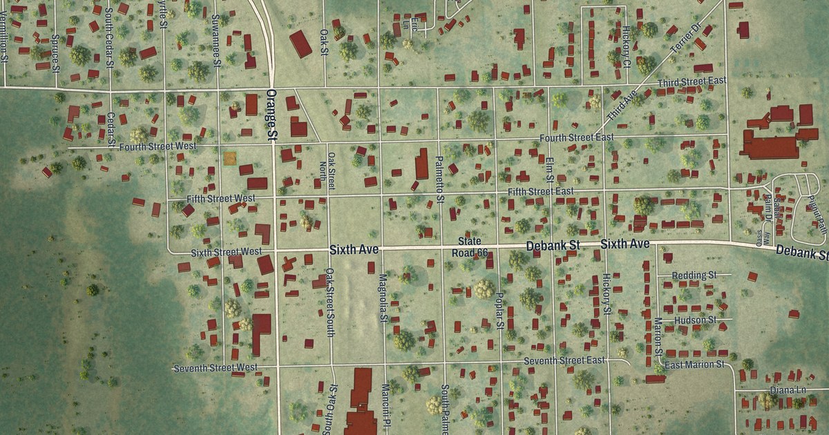
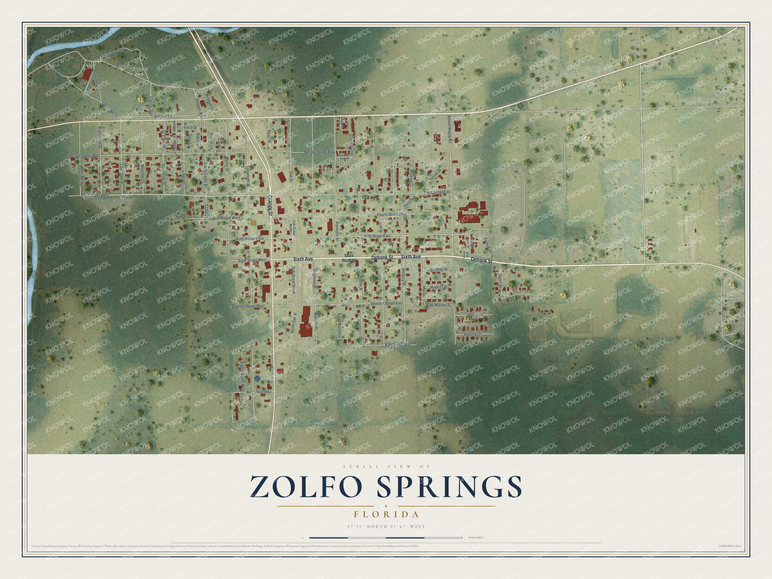
This beautifully detailed map of Zolfo Springs, Florida was created in 2026 using aerial imagery combined with modern topographical, census, street and landmark data. It’s a one-of-a-kind view of Zolfo Springs that combines accurate data with a vintage aesthetic. The map shows every building in its true location, many of the roads carry their names, and the shaded topographic relief shows the shape of the land.
Explore an aerial view of Zolfo Springs, Florida
On the map you’ll find Pioneer Park, along with Sixth Avenue, Orange Street, Debank Street, Third Street, Parkview Terrace, and more. If you look closely you can even find your house accurately drawn in its correct location. Zoom in on the preview to look for yours.
Did You Know?
Zolfo’s early wealth came from the Florida Cracker Trail. Herds of cattle moved over this route between Bradenton and Fort Pierce by 1850. The Florida Southern Railway came through in 1886, bringing a depot and a post office. The tracks were taken out in the early 1980s.
Take a closer look at the Zolfo Springs map
Names on this map
These names are printed on this map.
Places: Pioneer Park.
Streets and roads: Sixth Avenue, Orange Street, Debank Street, Third Street West, Parkview Terrace, Oak Street, Oak Street South, Fifth Street East, School House Road, Sixth Street West, South Palmetto Street, East Marion Street.
More street names, A to Z
Acorn Drive, Animal Way, Antique Drive, Bluebird Lane, Brantwood Drive, Cedar Street, Circle Lane, Cracker Trail, Crow Lane, Cypress Court, Diana Lane, Dove Lane, East Eighth Avenue, Eighth Street West, Elm Street, Eric Lane, Fifth Street West, Finch Drive, Fourth Street East, Fourth Street West, Godwin Court, Hickory Court, Hickory Street, Hudson Street, Lawndale Street, Magnolia Street, Mancini Place, Marion Street, Meadow Lane, Museum Drive, Myrtle Street, Ninth Street West, Oak Street North, Oasis Way, Palmetto Street, Pearl Street, Pigeon Lane, Pignut Path, Pioneer Boulevard, Poplar Street, Possum Trot, Redbird Lane, Redding Street, Robin Lane, Rock Lake Trail, Sabal Palm Drive, Second Street East, Second Street West, Seminole Road, Seventh Street East, Seventh Street West, Shanna Lane, South Cedar Street, South Oak Street, Spruce Street, State Road 66, Suwannee Street, Terrier Drive, Third Avenue, Third Street East, Tractor Trail, Twin Lake Lane, Vermillion Street.
See it on a wall
The Zolfo Springs map as a framed print. Swipe for more.


This beautifully detailed map of Zolfo Springs makes an attractive addition to your office, library, or den, and it can even be used to teach children the geography and history of the area. It also makes a great gift for anyone with Zolfo Springs roots. When you’re done exploring, click here to get your copy of the Zolfo Springs map.