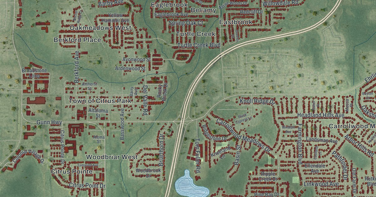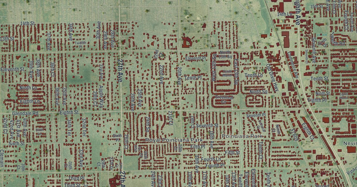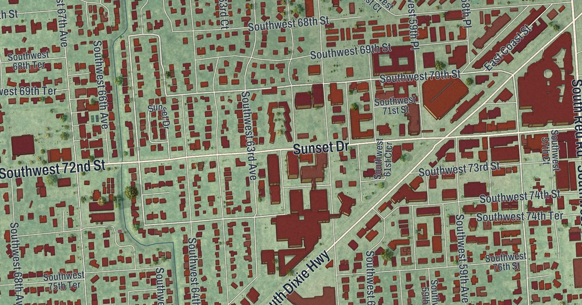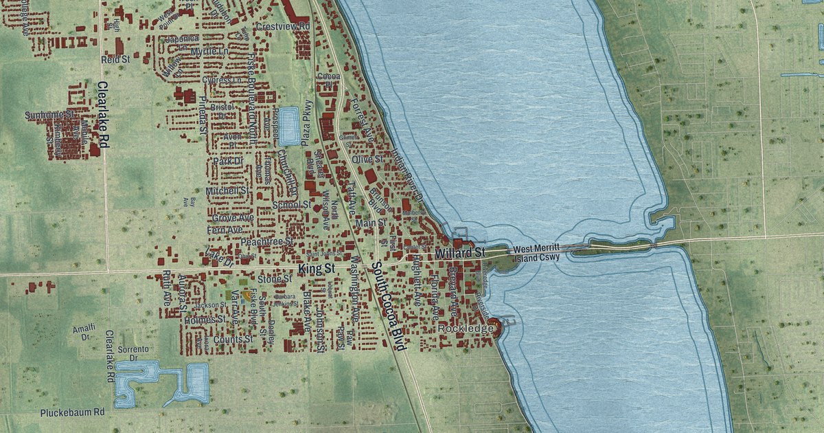
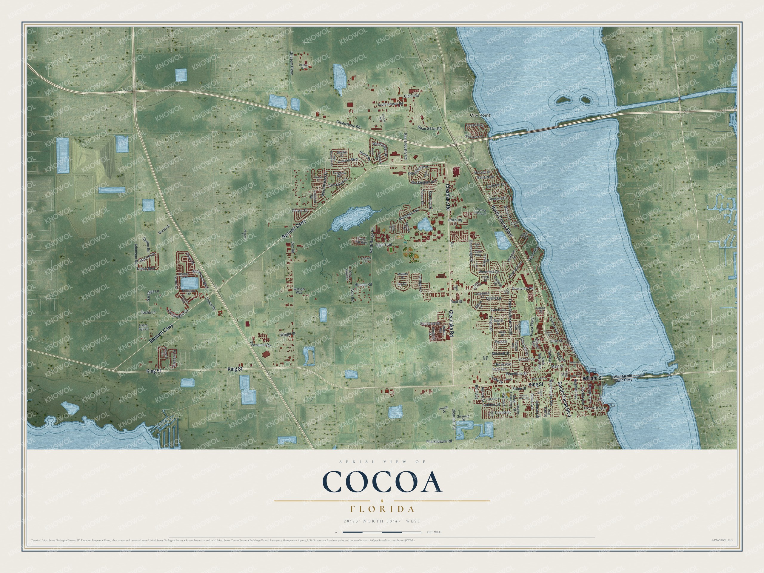
This beautifully detailed map of Cocoa, Florida was created in 2026 using aerial imagery combined with modern topographical, census, street and landmark data. It’s a one-of-a-kind view of Cocoa that combines accurate data with a vintage aesthetic. The map shows every building in its true location, many of the roads carry their names, and the shaded topographic relief shows the shape of the land.
Explore an aerial view of Cocoa, Florida
On the map you’ll find Rockledge, City Point, and Bennett Cswy, along with Willard Street, South Cocoa Boulevard, King Street, North Cocoa Boulevard, Clearlake Road, North Range Road, Forrest Avenue, Michigan Avenue, East Industry Road, and more. If you look closely you can even find your house accurately drawn in its correct location. Zoom in on the preview to look for yours.
Did You Know?
Fire destroyed most of the Cocoa business district in 1890. The town rebuilt quickly once the Jacksonville, St. Augustine, and Indian River Railway reached it. One survivor of those early days is S. F. Travis Hardware, which opened in 1885 and is still in business.
Take a closer look at the Cocoa map
Names on this map
These names are printed on this map.
Places: Rockledge and City Point.
Streets and roads: Bennett Causeway, Willard Street, South Cocoa Boulevard, King Street, North Cocoa Boulevard, Clearlake Road, North Range Road, Forrest Avenue, Michigan Avenue, East Industry Road, Indian River Drive, Cox Road.
More street names, A to Z
Adamson Road, Alligator Lane, Amalfi Drive, Audubon Drive, Aurora Street, Avon Place, Barbara Jenkins Street, Bay Avenue, Beau Geste Road, Bellaire Drive, Blake Avenue, Brevard Avenue, Brilliance Circle, Bristol Drive, Brunson Boulevard, Cambridge Drive, Carleton Drive, Center Street, Churchill Drive, Cidco Road, Circle Drive, Cocoa Bay Boulevard, Cocoa Lakes Drive, Cocoa Place, College Avenue, Coquina Drive, Counts Street, Coventry Court, Cressa Circle, Crestview Road, Crossbow Drive, Cypress Lane, Dixon Boulevard, Donley Street, Dryden Circle, Duke Way, Dunhill Drive, Emory Lane, Extravagant Court, Fairfield Drive, Fern Avenue, First Street, Fiske Boulevard North, Florida Avenue, Forest Hill Drive, Friday Road, Gary Hunt Road, Gray Road, Greensboro Road, Grimes Street, Grissom Parkway, Grove Avenue, Harvard Drive, High Street, Hillsdale Drive, Hofstra Drive, Holmes Street, Hooper Road, Hughlett Avenue, Hydro Age Lane, Indian Circle, Iona Drive, Ivy Drive, Ixora Avenue, Jackson Street, Japonica Lane, Johnson Street, Kensington Drive, Kimberly Street, Lake Drive, London Boulevard, Longbow Road, Loquat Street, Main Street, Manor Drive, Mc Leod Drive, Mercer Drive, Meridian Run Drive, Mitchell Street, Mobile Avenue, Morely Drive, Mulberry Street, Muskingum Avenue, Mycroft Drive, Myrtle Lane, North Road, North Wilson Avenue, Ohio Street, Olive Street, Otterbein Avenue, Outer Drive, Ox Bow Circle, Parapet Drive, Park Drive, Paw Paw Street, Peachtree Street, Pineda Street, Pinyon Drive, Plaza Parkway, Pluckebaum Road, Precious Boulevard, Prospect Avenue, Reid Street, Riveredge Boulevard, Riverside Drive, Rollins Drive, Ruth Avenue, Saint Johns Street, Saratoga Lane, Saxton Road, Scenic Drive, School Street, Scotland Road, Shearer Boulevard, Shellie Court, Sorrento Drive, South Fiske Boulevard, South Industry Road, Stanford Drive, Stone Street, Sunhome Street, Taft Avenue, Talbot Boulevard, Tasha Lane, Tate Street, Tech Place, Thomas Avenue, Tiger Trail, Townsend Road, Tri-City Avenue, Tulane Drive, Tulip Lane, University Lane, Varr Avenue, Washington Avenue, Watson Way, Westchester Drive, West Merritt Island Causeway, Westminster Drive, West Point Drive, West Sherwood Circle, Westview Drive, Willow Lane, Winchester Drive, Woodsmill Boulevard, Wright Street, Yale Lane.
See it on a wall
The Cocoa map as a framed print. Swipe for more.


This beautifully detailed map of Cocoa makes an attractive addition to your office, library, or den, and it can even be used to teach children the geography and history of the area. It also makes a great gift for someone who left Cocoa and still calls it home. When you’re done exploring, click here to get your copy of the Cocoa map.