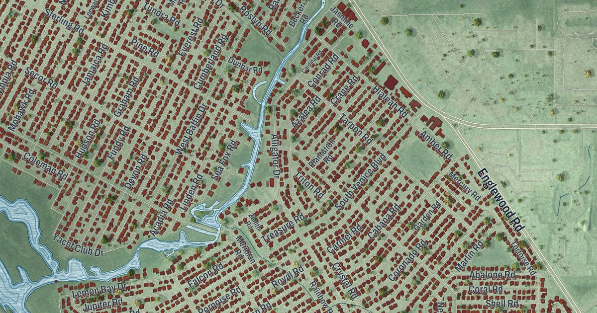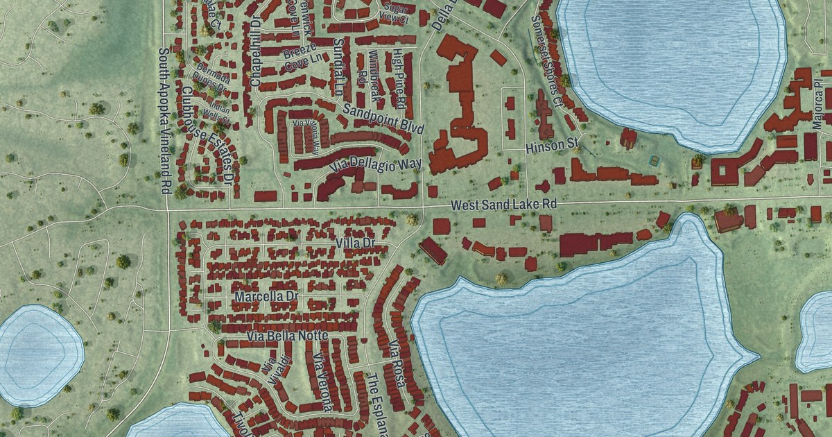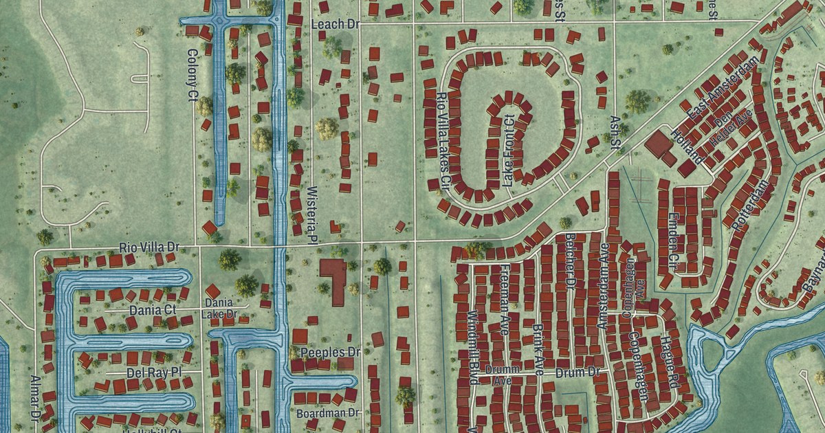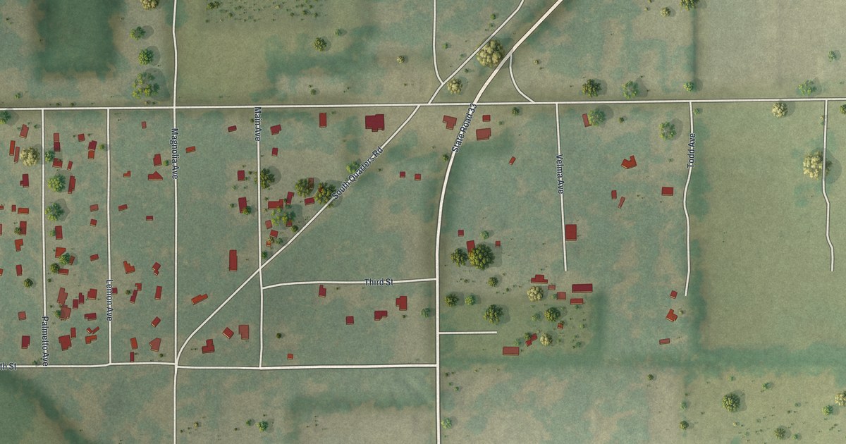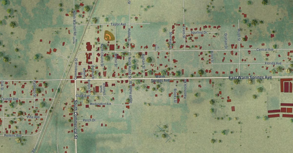
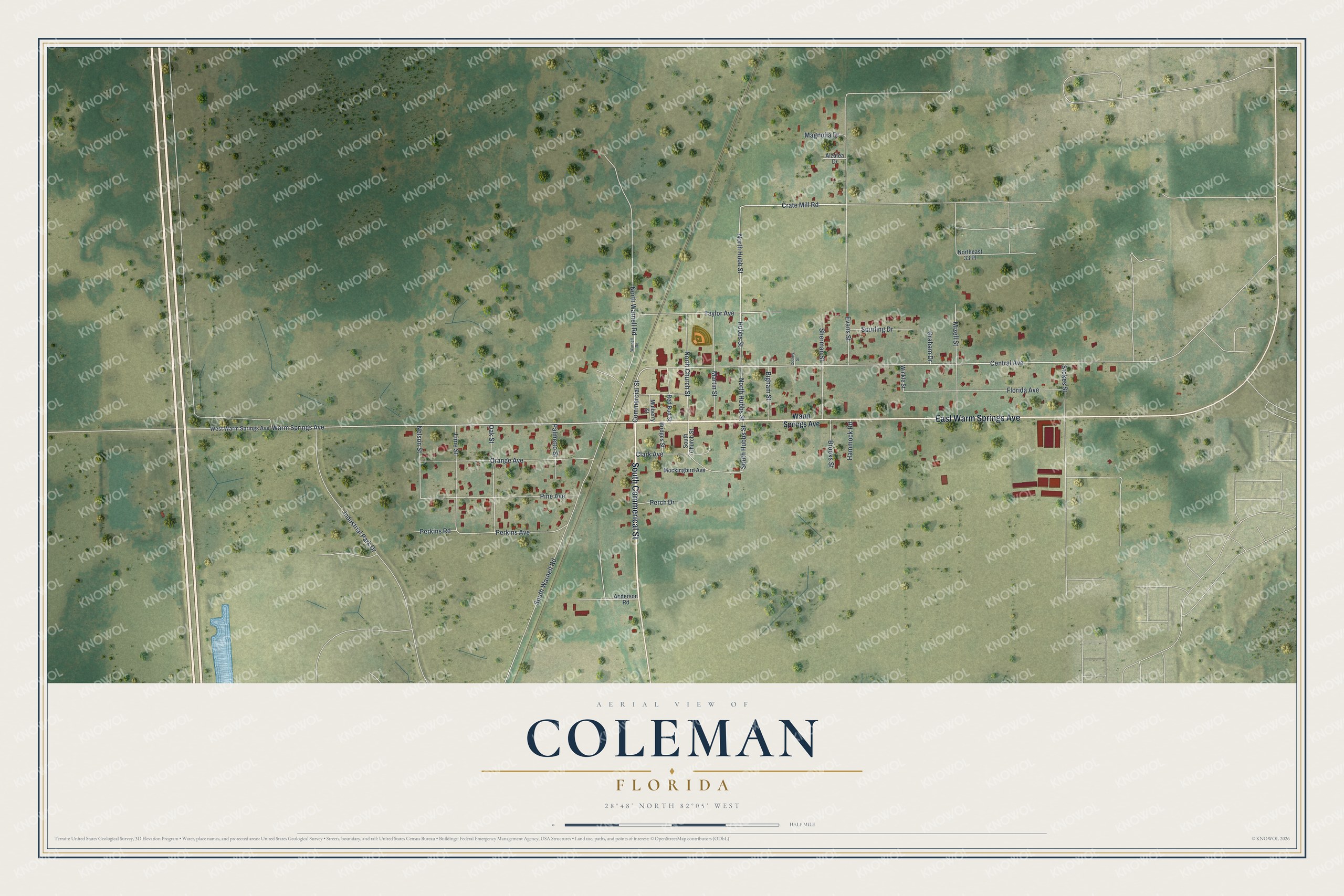
This beautifully detailed map of Coleman, Florida was created in 2026 using aerial imagery combined with modern topographical, census, street and landmark data. It’s a one-of-a-kind view of Coleman that combines accurate data with a vintage aesthetic. The map shows every building in its true location, many of the roads carry their names, and the shaded topographic relief shows the shape of the land.
Explore an aerial view of Coleman, Florida
On the map you’ll find East Warm Springs Avenue, South Commerical Street, Warm Springs Avenue, North Hubbs Street, Central Avenue, Hubbs Street, Lime Street, North Hubb Street, Taylor Avenue, Crate Mill Road, Nelson Street, Stokes Street, and more. If you look closely you can even find your house accurately drawn in its correct location. Zoom in on the preview to look for yours.
Did You Know?
In June 1840, during the Second Seminole War, Colonels W. J. Worth and Bennet Riley moved their troops to Fort McClure. The Fort McClure community was renamed Warm Springs by 1853. In 1882, it incorporated and took a new name honoring Dr. B.F. Coleman.
Take a closer look at the Coleman map
Names on this map
These names are printed on this map.
Streets and roads: East Warm Springs Avenue, South Commerical Street, Warm Springs Avenue, North Hubbs Street, Central Avenue, Hubbs Street, Lime Street, North Hubb Street, Taylor Avenue, Crate Mill Road, Nelson Street, Stokes Street.
More street names, A to Z
Alzalea Drive, Anderson Road, Bigham Street, Bridges Street, Brooks Street, Clark Avenue, Codrey Street, Commercial Street, Evans Street, Florida Avenue, Graham Drive, Hammock Road, Industrial Park Drive, Magnolia Drive, Martin Street, Mizell Street, Mockingbird Avenue, Mulberry Street, North Church Street, Northeast 33 Place, North Warnell Road, Oak Street, Orange Avenue, Palmetto Street, Perch Drive, Perkins Avenue, Perkins Road, Pine Avenue, Red Bud Street, Sherman Street, South Church Street, South Hubbs Street, South Warnell Road, Spurling Drive, Warnell Road, West Warm Springs Avenue, Winkle Street.
See it on a wall
The Coleman map as a framed print. Swipe for more.


This beautifully detailed map of Coleman makes an attractive addition to your office, library, or den, and it can even be used to teach children the geography and history of the area. It also makes a great gift for someone who left Coleman and still calls it home. When you’re done exploring, click here to get your copy of the Coleman map.