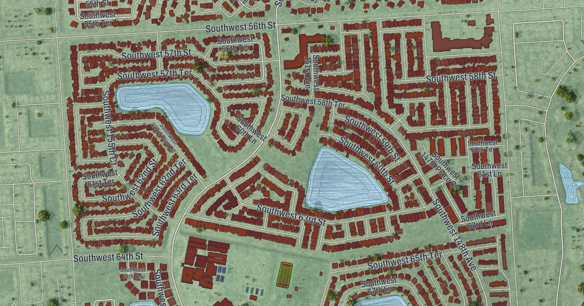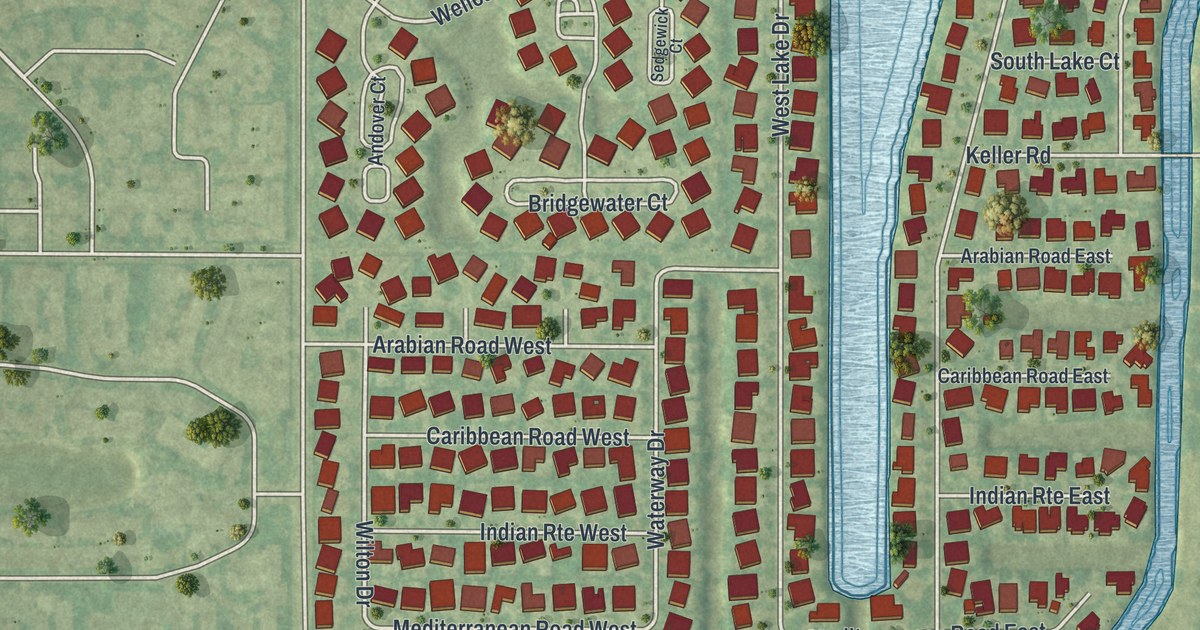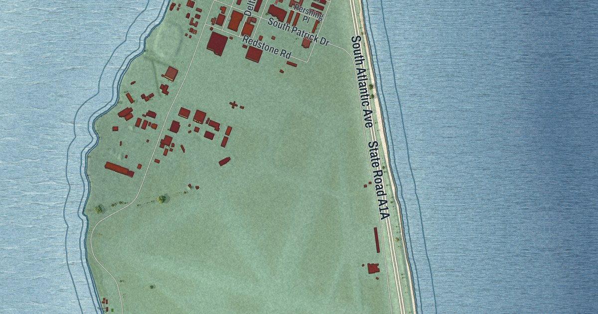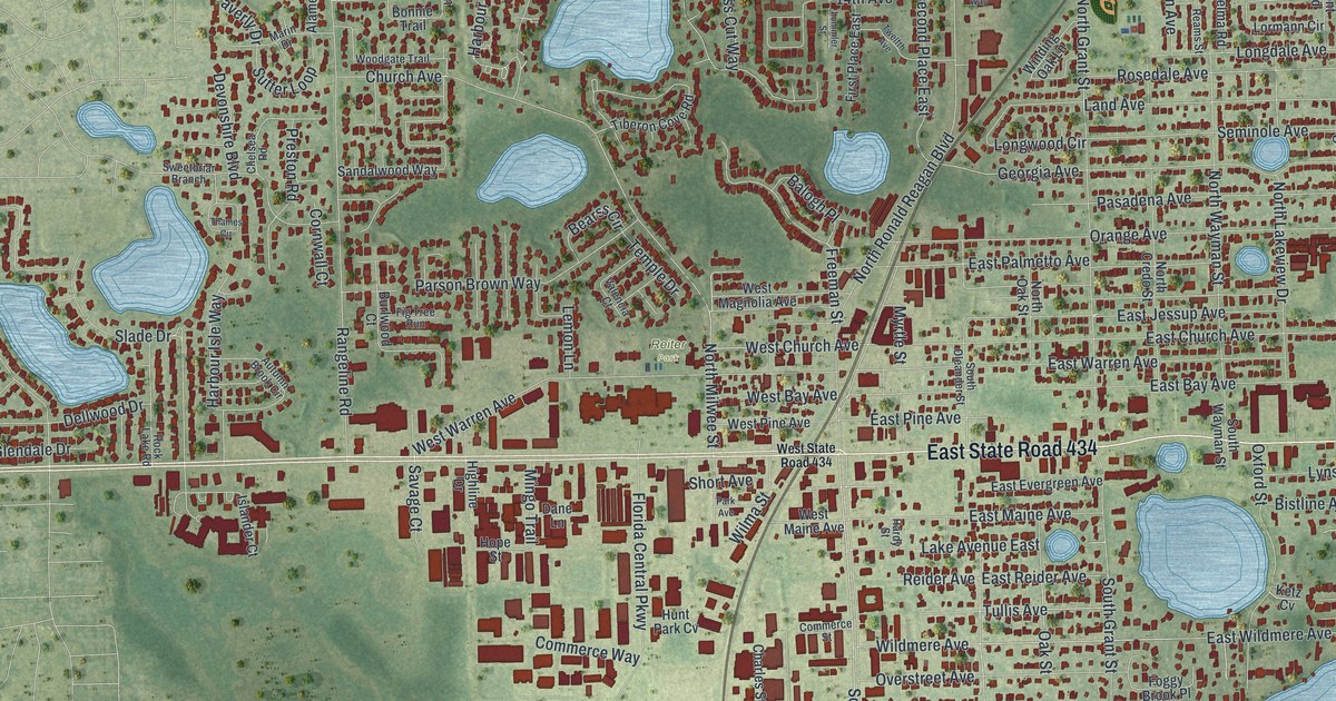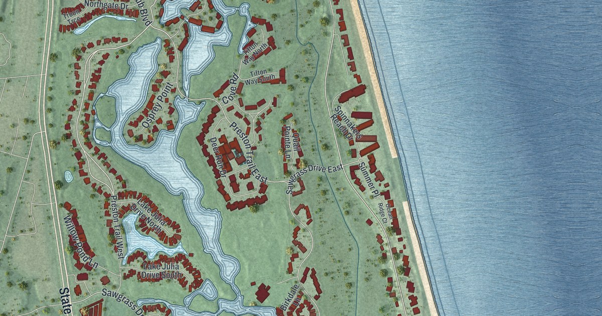
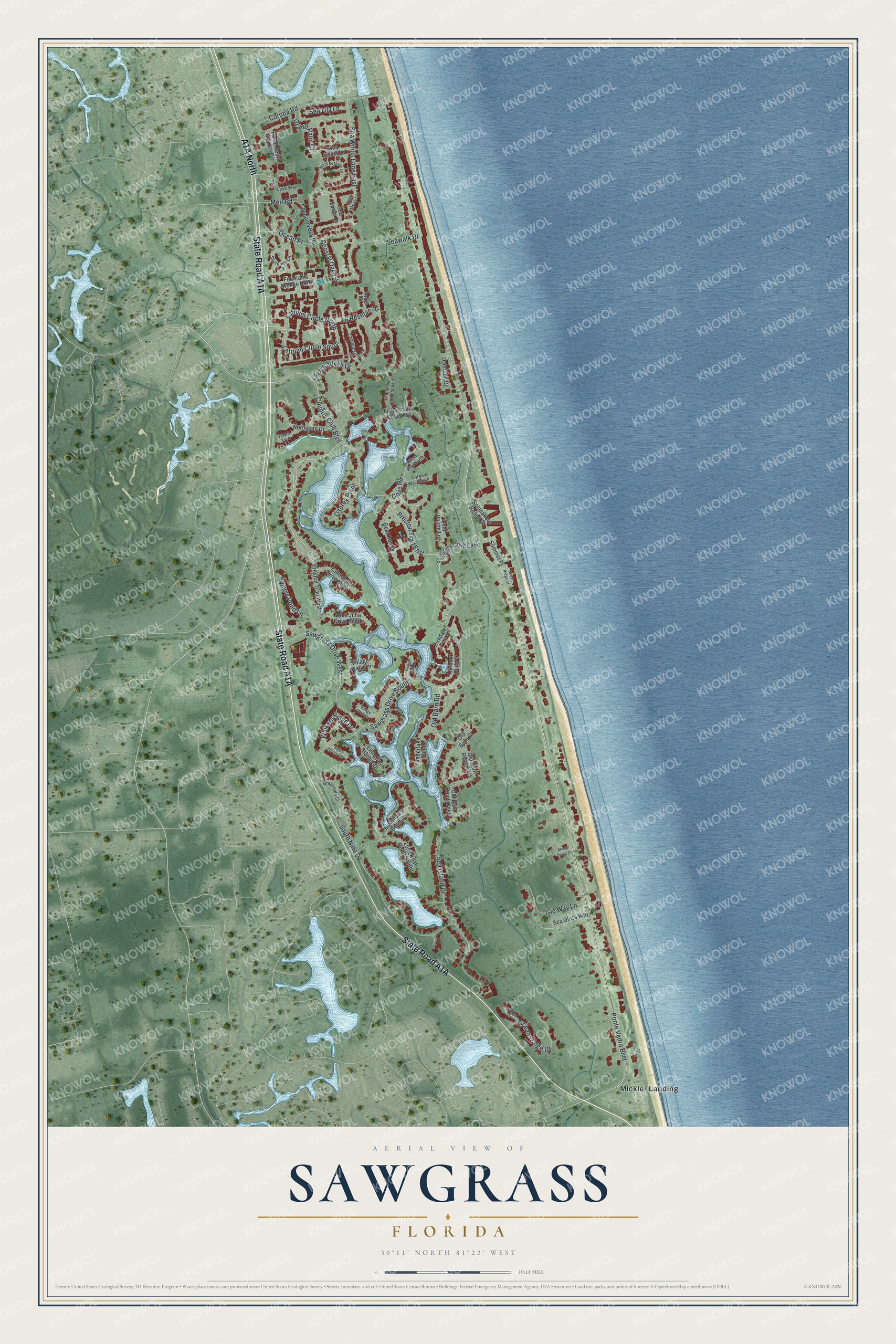
This beautifully detailed map of Sawgrass, Florida was created in 2026 using aerial imagery combined with modern topographical, census, street and landmark data. It's a modern aerial view of Sawgrass in St. Johns County, Florida, that combines modern data with a vintage aesthetic. The roads feature printed names, and if you look closely you can find your exact house accurately shown in its correct location.
Explore an aerial view of Sawgrass, Florida
On this map you'll find Mickler Landing, State Road A1A, A1A North, Preston Trail East, Country Club Boulevard, Latrium Circle South, Latrium Circle North, Ponte Vedra Boulevard, Old Barn Road, Ocean Place, Sea Winds Lane East, Walkers Ridge Drive, and more. Each red shape is a building, so zoom in on the preview and look for yours.
Every town has a first chapter, and Sawgrass is no exception. Developer James Stockton Jr. broke ground on the 1,100-acre Sawgrass development in 1972. He later said he chose the name after a night of tossing and turning, and that it came from the sawgrass growing wild on the property. The Arthur Milam House on the beach, finished in 1962, was the last house the architect Paul Rudolph designed in Florida. That's from the National Register of Historic Places.
Sawgrass is a community in St. Johns County. The Census Bureau counted 5,385 people here in 2020.
Take a closer look at the Sawgrass map
Names on this map
These names are printed on this map.
Places: Mickler Landing.
Streets and roads: Preston Trail East, Country Club Boulevard, Latrium Circle South, Latrium Circle North, Ponte Vedra Boulevard, Sawgrass Drive South, Sawgrass Drive West, Old Barn Road, Ocean Place, Sea Winds Lane East, Walkers Ridge Drive, South Nine Drive.
More street names, A to Z
Alsace Court, Birkdale Lane, Charlemagne Circle, Coastal Oak Circle, Conquina Bay Road, Corona Road, Cove Road, Deer Run Drive, Executive Way, Fiddlers Hammock Lane, Fishermans Cove Highway, Fountains Avenue North, Grand Palm Court, Greenside Court, Harbour Club Drive, Isle Way Lane, Lake Julia Drive North, Lake Julia Drive South, Lake Kathryn Drive, La Reserve Drive, Lauden Court, Lighthouse Bend Drive, Little Bay Harbor Drive, Long Boat Court South, Meir Road, Monte Diego Drive, Northgate Drive, North Sea Lake Lane, Ocean Ridge Court, Oceans Edge Drive, Old Barn Court, Old Barn Road East, Old Barn Road West, Osprey Point, Overlook Drive, Ponte Vedra Colony Circle, Preston Trail West, Quail Pointe Lane, Sawgrass Drive East, Sea Coast Lane, Sea Glass Way, Sea Island Drive, Sea Lily Lane, Sea Moss Lane, Sea Spray Lane, Seawalk Drive, Shoreline Circle, Spinnakers Reach Drive, Spy Glass Lane, Summer Place, Tifton Way North, Tifton Way South, Timberlake Point, Troon Trce, Village Walk Circle, Village Walk Drive, Village Walk Lane, Willow Pond Lane.
See it on a wall
The Sawgrass map as a framed print. Swipe for more.


Created by KNOWOL in 2026. The buildings are small red shapes, the roads carry their printed names, and shaded relief shows the shape of the land. The title panel reads "AERIAL VIEW OF SAWGRASS, FLORIDA" with 30°11' NORTH 81°22' WEST.
Hang it in the hallway, the office or the cabin, or give it to someone who left Sawgrass and still calls it home. Open the preview and look for a street you know. See sizes and frames for the Sawgrass map.