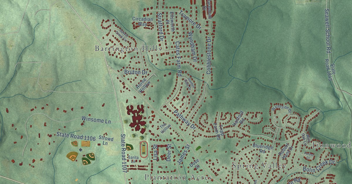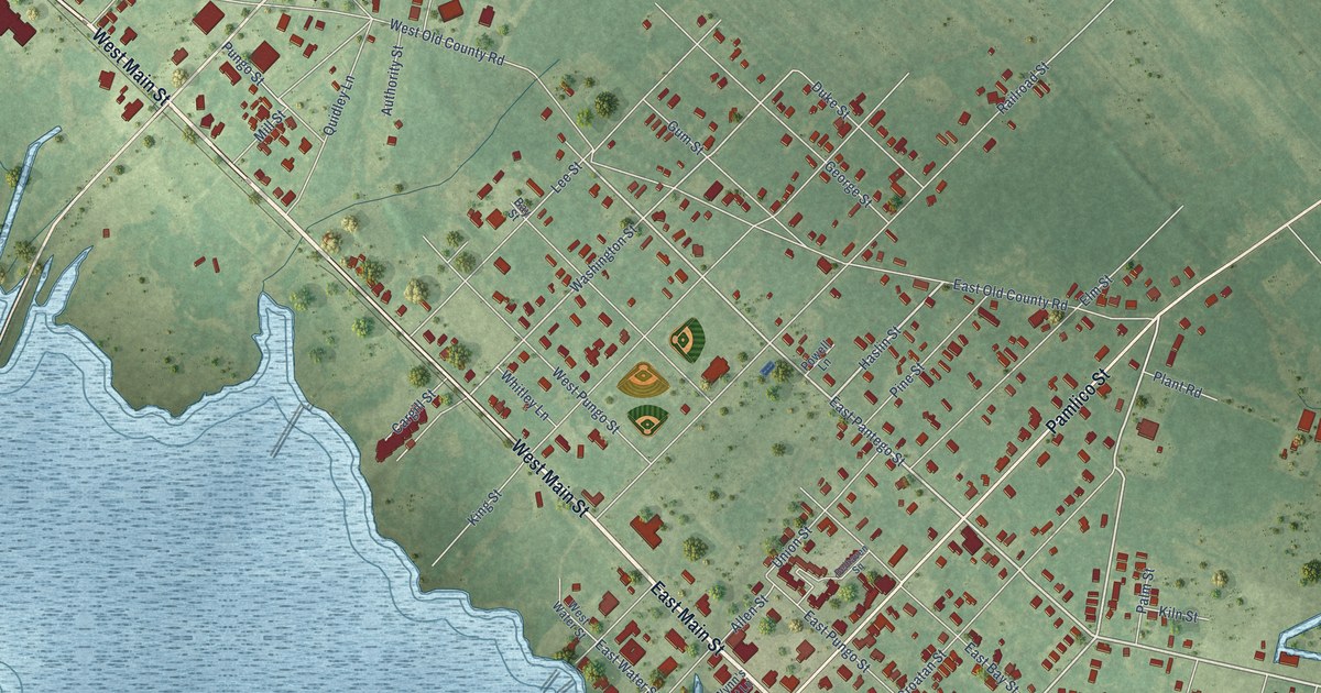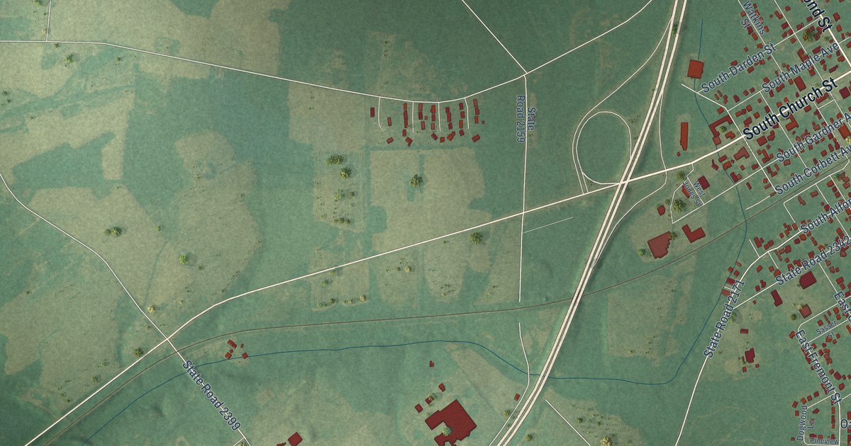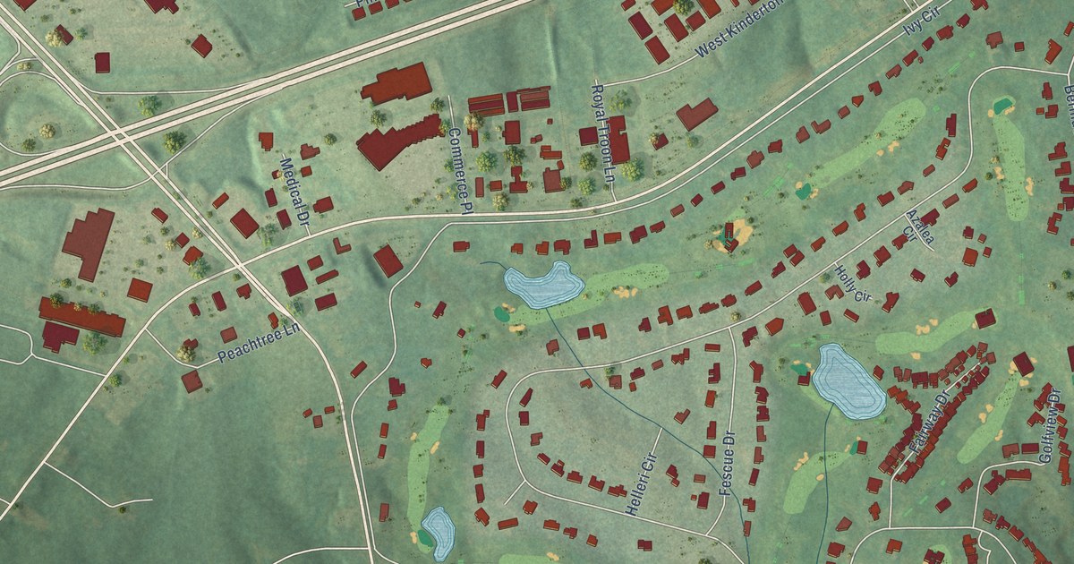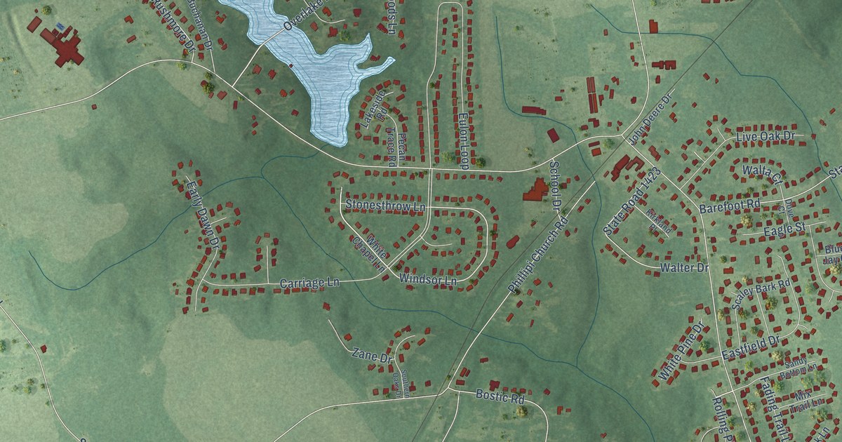
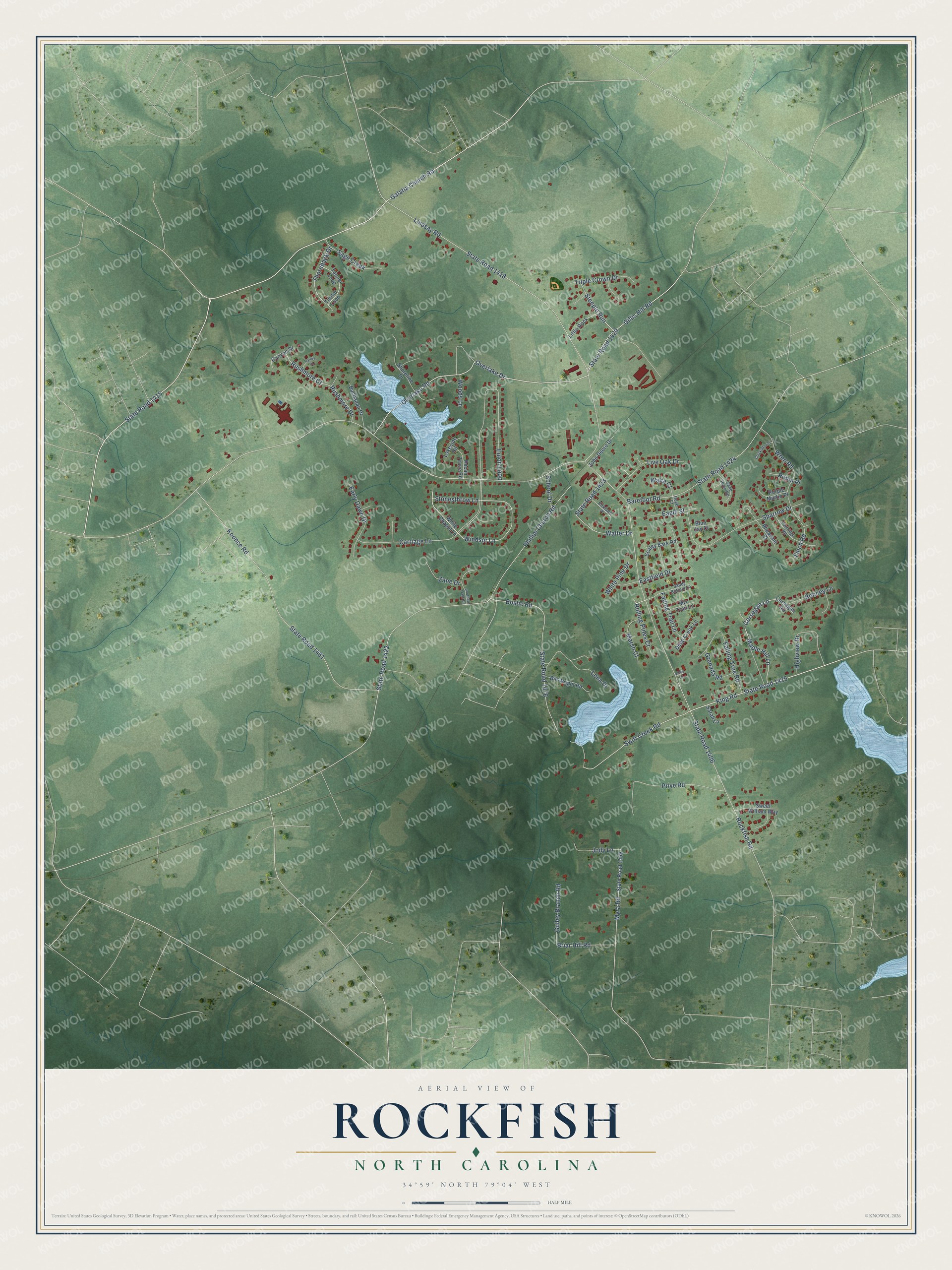
This beautifully detailed map of Rockfish, North Carolina was created in 2026 using aerial imagery combined with modern topographical, census, street and landmark data. It's a modern aerial view of Rockfish in Hoke County, North Carolina, that combines modern data with a vintage aesthetic. The roads feature printed names, and if you look closely you can find your exact house accurately shown in its correct location.
Explore an aerial view of Rockfish, North Carolina
On this map you'll find Galatia Church Road, State Road 1415, Gillis Hill Road, State Road 1420, Steeple Run, Overlake Road, King Road, State Road 1425, Windsor Lane, Overlake Drive, Swift Creek Road, Briar Hill Road, and more. Each red shape is a building, so zoom in on the preview and look for yours.
Rockfish is a community in Hoke County. The Census Bureau counted 3,383 people here in 2020. Rockfish sits about 6 miles west of Hope Mills, 7 miles northeast of Dundarrach and 7 miles northwest of Parkton. The map prints the town name in its title panel, with the coordinates below it.
Take a closer look at the Rockfish map
Names on this map
These names are printed on this map.
Streets and roads: Galatia Church Road, State Road 1415, Gillis Hill Road, State Road 1420, Steeple Run, Overlake Road, King Road, State Road 1425, Windsor Lane, Overlake Drive, Swift Creek Road, Briar Hill Road.
More street names, A to Z
Barefoot Road, Bill Wright Road, Blue Jay Court, Bonney Lane, Bostic Road, Buchanan Drive, Canyon Drive, Carriage Lane, Chickadee Place, Corsegan Lane, Corsegan Road, Deep Creek Lane, Dove Court, Eagle Street, Early Dawn Drive, Eastfield Drive, Eulon Loop, Fading Trail Lane, Falling Tree Road, Finch Road, Grenada Road, Gulley Branch Road, Highview Drive, Jody Lane, John Deere Drive, Kirkland Place, Koonce Road, Lakeside Road, Lena Drive, Lindsay Road, Little Rock, Live Oak Drive, Maple Hill Lane, Marsh Court, Mix Trail Lane, Myra Road, Partridge Road, Pecan Trace Road, Pheasant Court, Phillipi Church Road, Prive Road, Purple Martin Place, Robin Place, Rockfish Road, Rolling Pines Court, Rushmore Court, Rushmore Drive, Sage Creek, Sand Rock Road, Sandy Bottom Lane, Sarah Lane, Scaley Bark Road, School Drive, Shoreline Drive, Southern Oaks Drive, Sparrow Drive, State Road 1406, State Road 1418, State Road 1422, State Road 1423, State Road 1424, State Road 1461, State Road 1466, State Road 1476, Stonesthrow Lane, Sweet William Way, Tanner Loop, Thornback Drive, Triple Crown Drive, Turner Loop, Valley Court, Vicky Lane, Walta Court, Walter Drive, White Chapel Lane, White Pine Drive, Woods Lane, Wren Road, Zane Drive.
See it on a wall
The Rockfish map as a framed print. Swipe for more.


Created by KNOWOL in 2026. The buildings are small red shapes, the roads carry their printed names, and shaded relief shows the shape of the land. The title panel reads "AERIAL VIEW OF ROCKFISH, NORTH CAROLINA" with 34°59' NORTH 79°04' WEST.
Hang it in the hallway, the office or the cabin, or give it to someone who left Rockfish and still calls it home. Open the preview and look for a street you know. See sizes and frames for the Rockfish map.