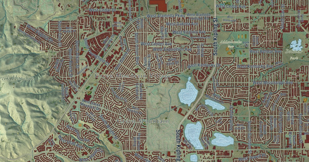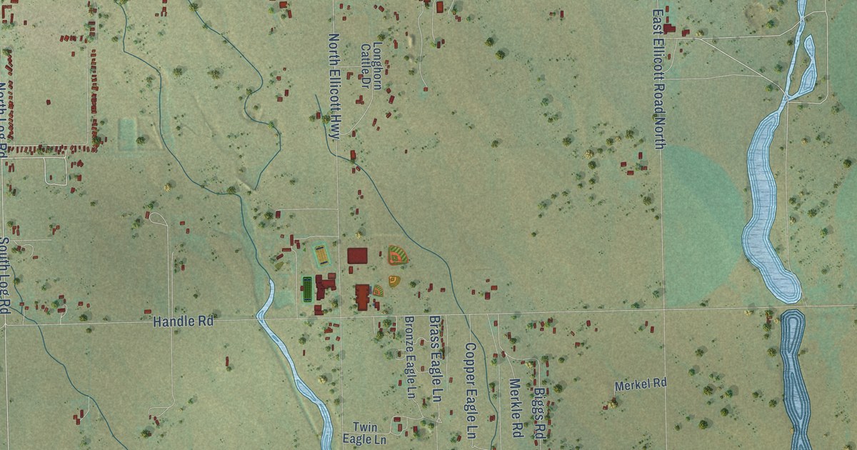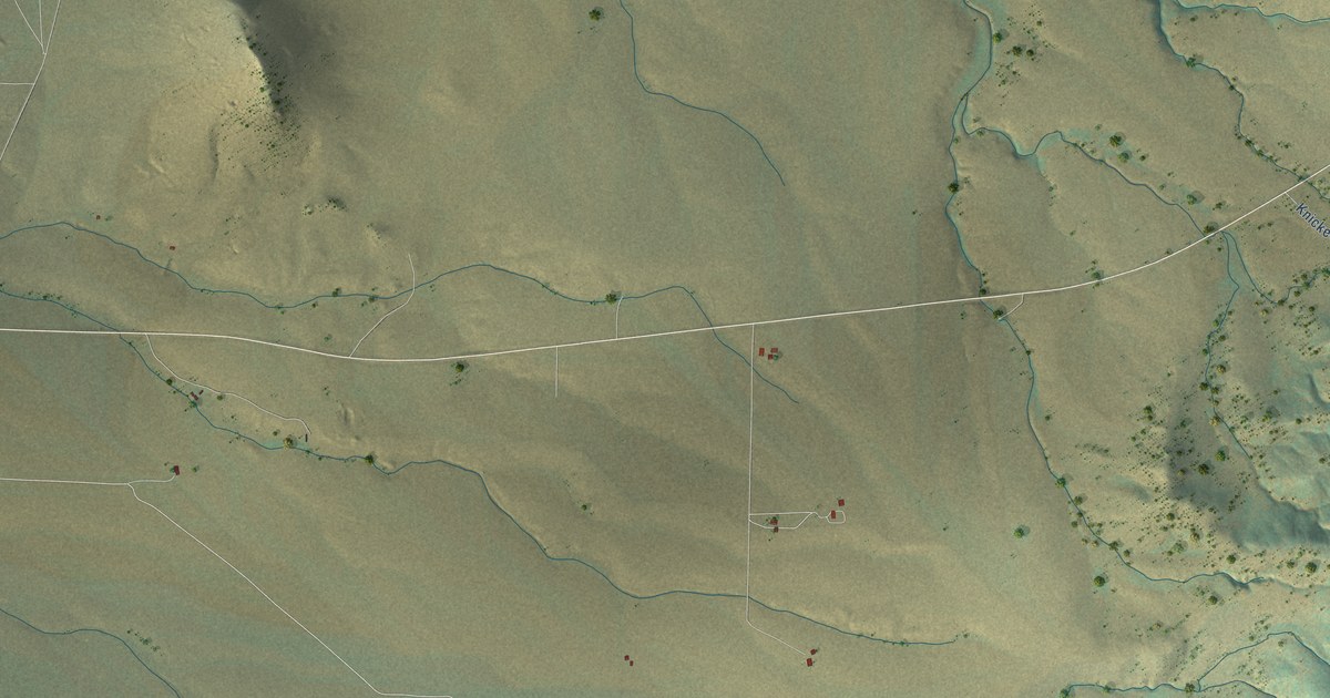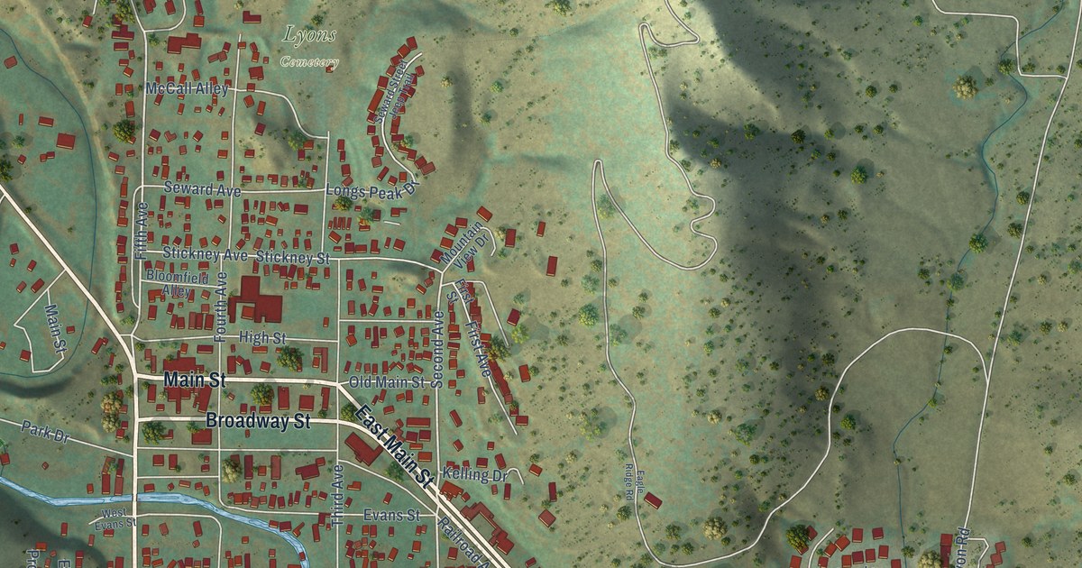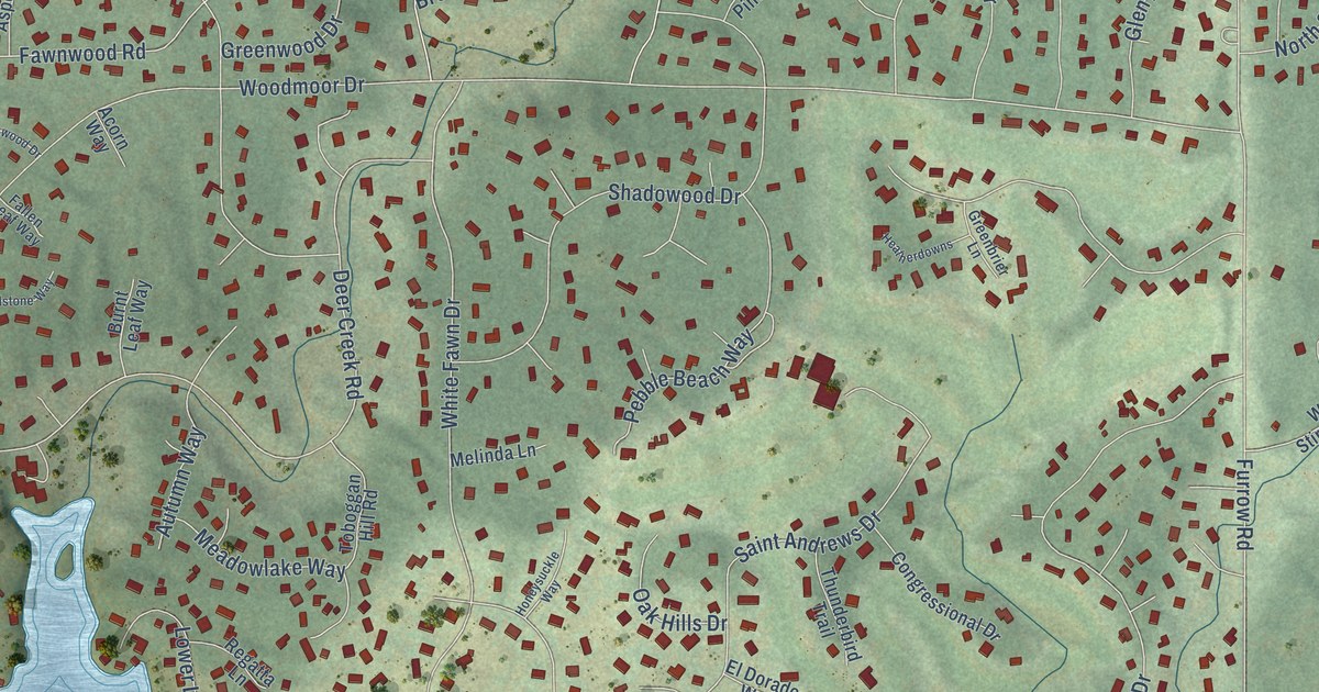
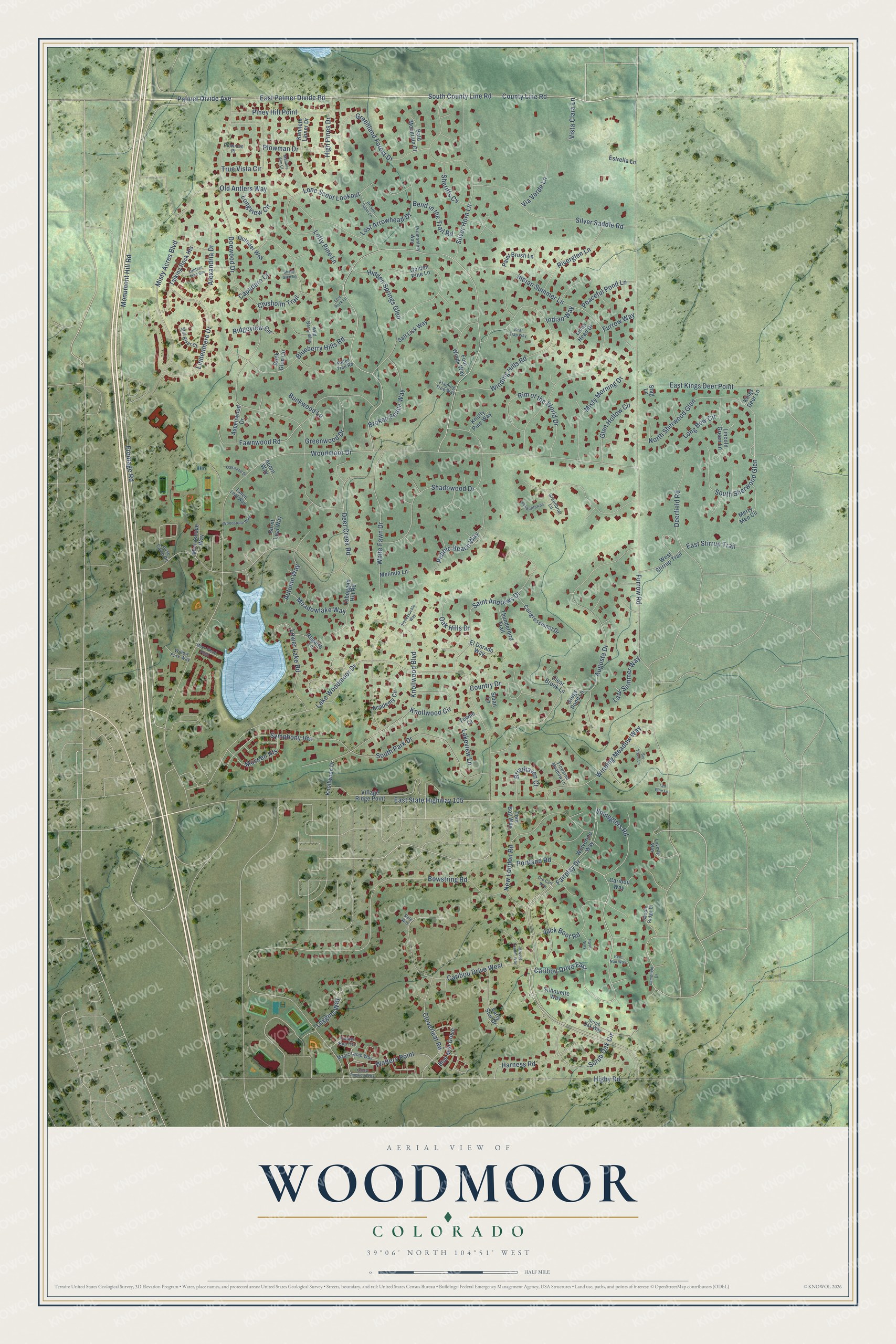
This beautifully detailed map of Woodmoor, Colorado was created in 2026 using aerial imagery combined with modern topographical, census, street and landmark data. It's a modern aerial view of Woodmoor in El Paso County, Colorado, that combines modern data with a vintage aesthetic. The roads feature printed names, and if you look closely you can find your exact house accurately shown in its correct location.
Explore an aerial view of Woodmoor, Colorado
On this map you'll find Palmer Divide Avenue, South County Line Road, Fairplay Drive, County Line Road, East Palmer Divide Road, Monument Hill Road, Walters Point, Symphony Heights, Woodmoor Drive, Furrow Road, Frontage Road, Doewood Drive, and more. Each red shape is a building, so zoom in on the preview and look for yours.
Woodmoor has a story worth telling. Woodmoor began in 1963. By 1969 the new Woodmoor Meadows area was opening with 191 homesites, its 14th subdivision since then, and work had begun on the first phase of 500 lake houses. That's from The Gazette.
Woodmoor is a community in El Paso County. The Census Bureau counted 9,536 people here in 2020.
Take a closer look at the Woodmoor map
Names on this map
These names are printed on this map.
Streets and roads: Palmer Divide Avenue, South County Line Road, Fairplay Drive, County Line Road, East Palmer Divide Road, Monument Hill Road, Caribou Drive East, Walters Point, Symphony Heights, Woodmoor Drive, Furrow Road, Frontage Road.
More street names, A to Z
Academy Circle, Acorn Way, Alexandria Drive, Aspenwood Drive, Augusta Drive, Autumn Way, Bald Mountain Court, Base Camp Road, Bear Trap Way, Bend in the Trail Road, Bent Nail Way, Blueberry Hills Road, Blue Mist Grove, Bowstring Road, Briarhaven Court, Broken Fence Way, Broken Saber Lane, Buckwood Lane, Burnt Leaf Way, Capadaro Court, Caribou Drive West, Caribou Way, Chisholm Trail, Clear Brook Lane, Cloverleaf Road, Congressional Drive, Country Drive, Deer Creek Road, Deerfield Road, Doewood Drive, Early Star Drive, East Kings Deer Point, East State Highway 105, East Stirrup Trail, El Dorado Way, Estrella Lane, Fallen Leaf Way, Fallen Tree Road, Fawnwood Road, Flaming Tree Way, Flowered Meadow Lane, Four Winds Way, Furrow Way, Glen Hollow Circle, Golden Pine Lane, Greenbrier Lane, Greenland Forest Drive, Greenwood Drive, Gregs Pond Lane, Harness Road, Heatherdowns, Hidden Springs Glen, Higby Road, High Pines Drive, Honeysuckle Way, Indian Summer Lane, Indian Way, Jack Boot Road, Kenneth Lainer Drive, Kings Deer Lane, Knollwood Boulevard, Knollwood Circle, Knollwood Drive, Knotty Pine Way, Lakeview Lane, Lake Woodmoor Drive, Lamplight Drive, Lantern Tree Grv, Lazy Summer Way, Leggins Way, Lincoln Green Lane, Lindenmere Drive, Lions Head Drive, Lofty Pine Lane, Lone Scout Lookout, Long Bow Circle, Longview Circle, Lost Arrowhead Drive, Lost Rock Lane, Loverly Way, Lower Lake Road, Magic Lamp Way, Meadowlake Way, Melanie Ann Court, Melinda Lane, Merry Men Circle, Microscope Way, Misty Acres Boulevard, Misty Morning Drive, Moor-Wood Point, Moveen Heights, Muzzle Loader Way, New London Road, North Sherwood Glen, Oak Hills Drive, Oakwood Drive, Old Antlers Way, Ore Cart Way, Outrider Way, Paint Brush Lane, Paver Way, Peaceful Pond Lane, Pebble Beach Way, Piney Hill Point, Plowman Drive, Plowman Place, Portland Road, Promontory Way, Regatta Lane, Ridgeview Circle, Rim of the World Drive, Riverglen Lane, Rock Glen Circle, Saddle Ridge Court, Saint Andrews Drive, Salt Lick Way, Scrub Oak Circle, Scrub Oak Way, Shadowood Drive, Shady Glen Lane, Sheriffs Cv, Silhouette Way, Silver Horn Lane, Silver Saddle Road, Six Trees Lane, Slate Way, Sloan Lane, Smugglers Road, South Park Drive, South Sherwood Glen, Stag Lane, Still River Court, Talking Rock Heights, Tall Pine Lane, Thunderbird Trail, Timber Run Heights, Toboggan Hill Road, Tom Boy Way, Towne Court, True Vista Circle, Via Verde Lane, Village Ridge Point, Vista Clara Lane, West Stirrup Trail, White Fawn Drive, Wild Berry Way, Willow Park Way, Winding Hills Road, Winding Meadow Way, Wolverine Way, Woodstone Way, Yellow Dogwood Heights.
See it on a wall
The Woodmoor map as a framed print. Swipe for more.


Created by KNOWOL in 2026. The buildings are small red shapes, the roads carry their printed names, and shaded relief shows the shape of the land. The title panel reads "AERIAL VIEW OF WOODMOOR, COLORADO" with 39°06' NORTH 104°51' WEST.
It looks right in a kitchen, an office or a den, and it's a gift for anyone who grew up in Woodmoor or moved away. Open the preview and find your street. See sizes and frames for the Woodmoor map.