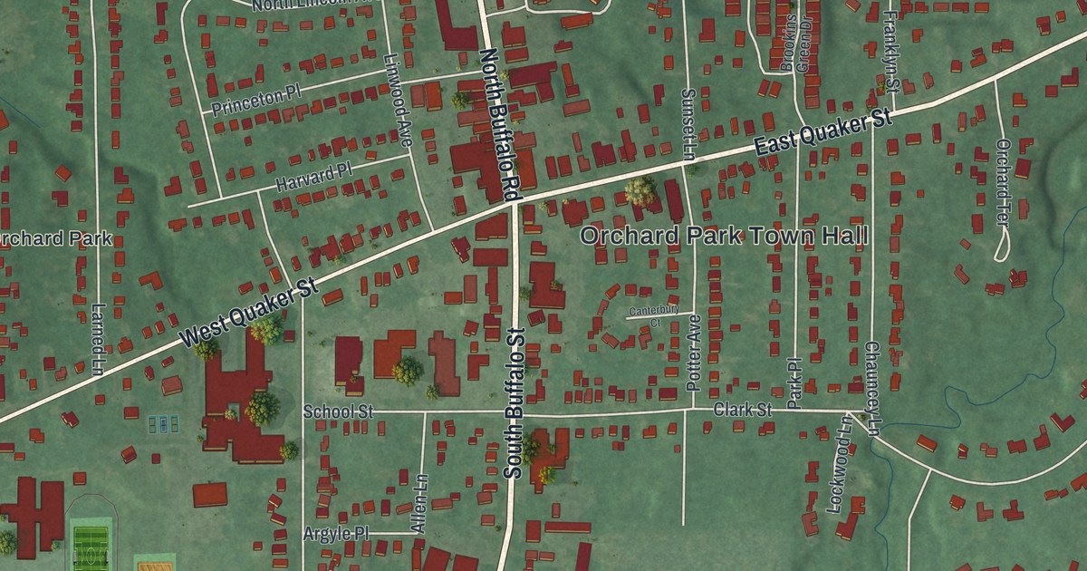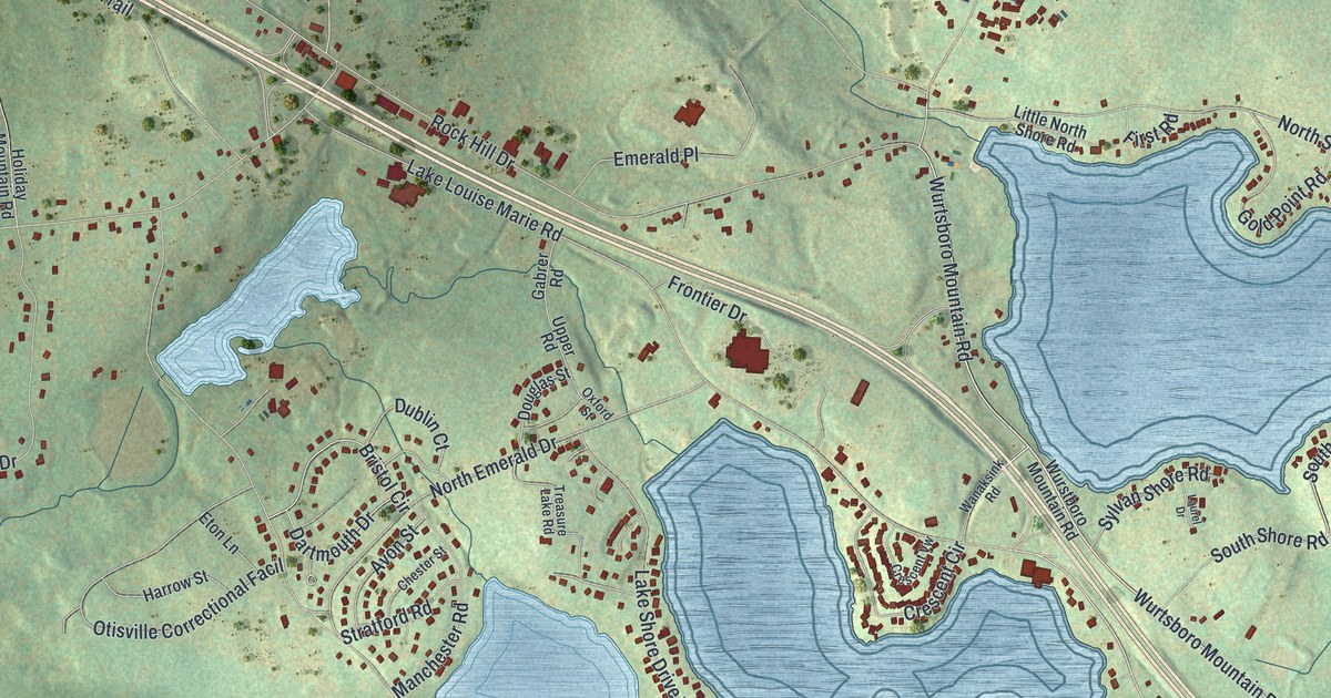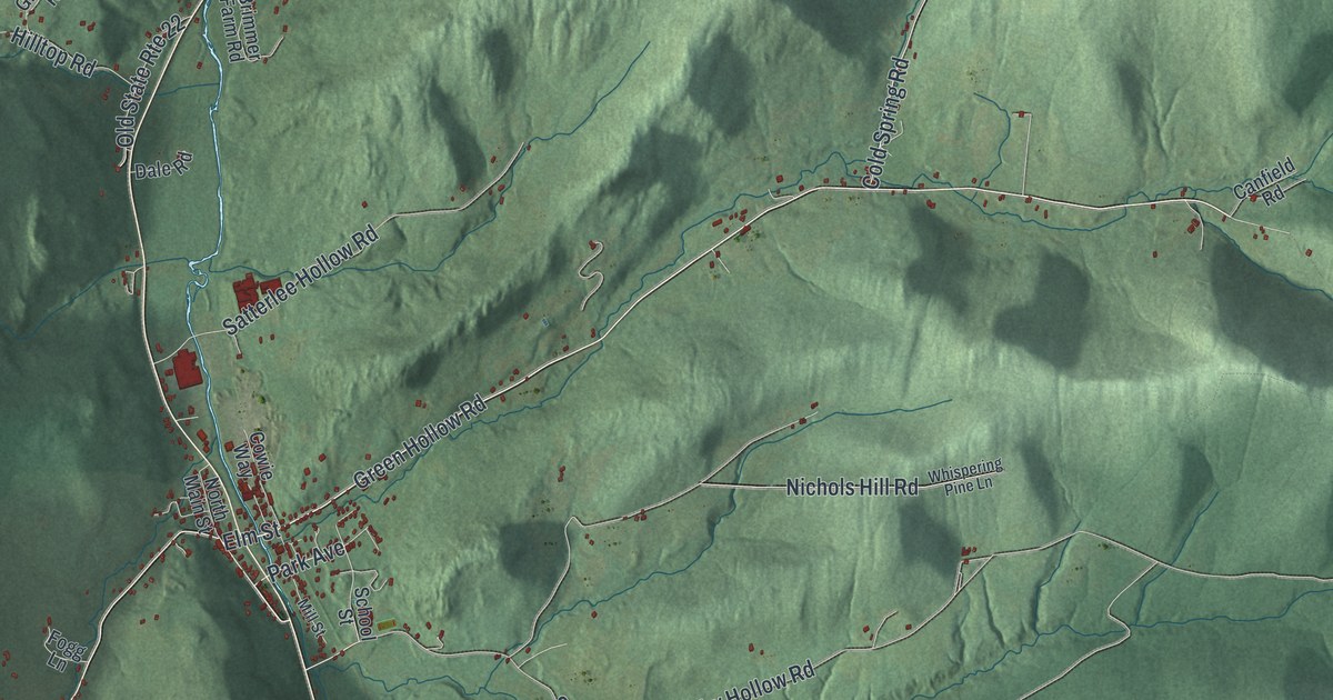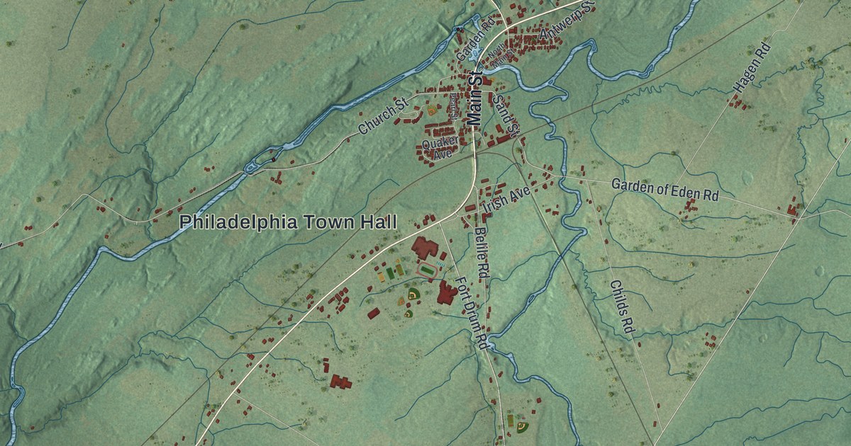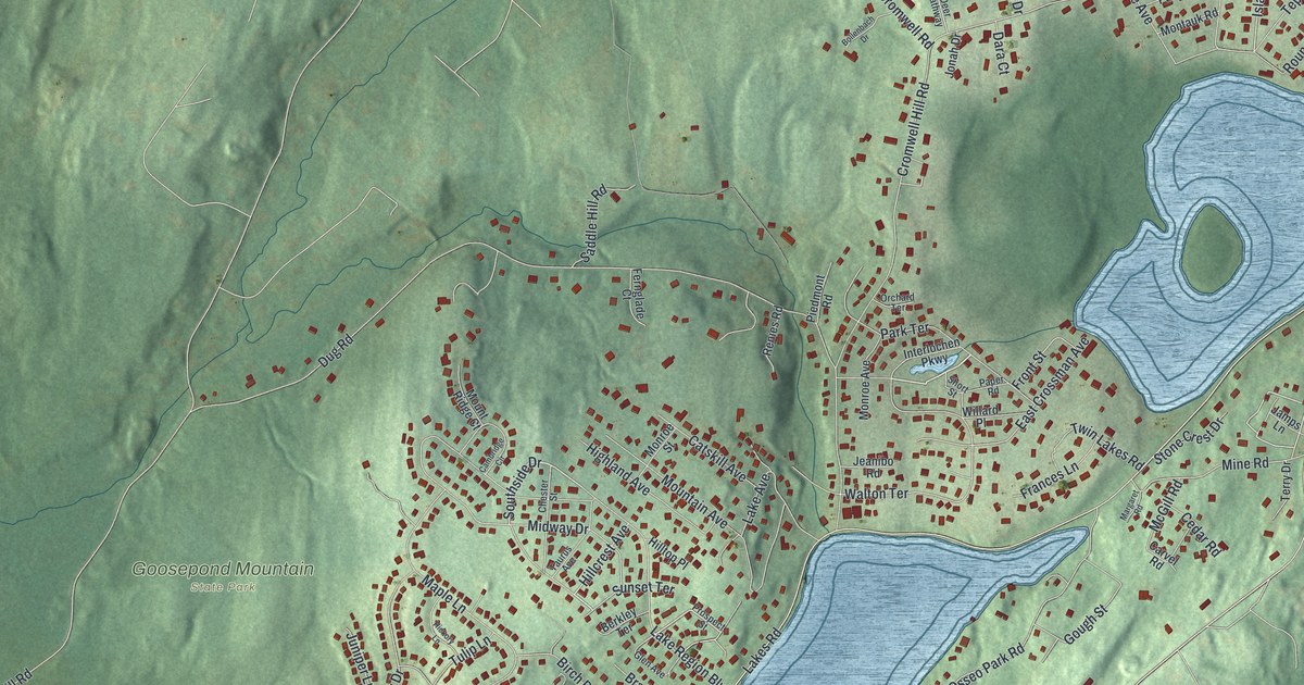
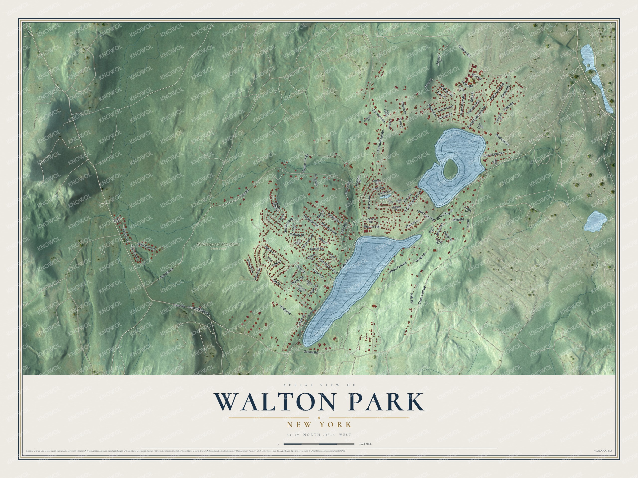
This beautifully detailed map of Walton Park, New York was created in 2026 using aerial imagery combined with modern topographical, census, street and landmark data. It's a modern aerial view of Walton Park in Orange County, New York, that combines modern data with a vintage aesthetic. The roads feature printed names, and if you look closely you can find your exact house accurately shown in its correct location.
Explore an aerial view of Walton Park, New York
On this map you'll find Goosepond Mountain State Park, Southside Drive, Sunset Terrace, Island View Avenue, Lakes Road, Laroe Road, Cromwell Hill Road, Cedar Cliff Road, Dug Road, Lake Region Boulevard, Quaker Hill, Bull Mill Road, and more. Each red shape is a building, so zoom in on the preview and look for yours.
Walton Park is a community in Orange County. The Census Bureau counted 3,907 people here in 2020. Walton Park sits about 2 miles west of Monroe, 4 miles southwest of Kiryas Joel and 4 miles southeast of Chester. The map prints the town name in its title panel, with the coordinates below it.
Take a closer look at the Walton Park map
Names on this map
These names are printed on this map.
Places: Goosepond Mountain State Park.
Streets and roads: Southside Drive, Sunset Terrace, Island View Avenue, Lakes Road, Laroe Road, Cromwell Hill Road, Cedar Cliff Road, Dug Road, Lake Region Boulevard, Quaker Hill, Bull Mill Road, School Road.
More street names, A to Z
Able Noble Drive, Alden Road, Allison Drive, Arlin Road, Berkley Terrace, Birch Drive, Bollenbach Drive, Bonnie Brook Road, Branch Street, Cambridge Circle, Carvel Road, Catskill Avenue, Cedar Road, Chester Street, Cooper Street, Cromwell Road, Dara Court, Deer Pathway, Eagle Street, East Crossman Avenue, Edward Place, Edwards Place, Fernglade Court, Frances Lane, Front Street, Giles Place, Glen Avenue, Gough Street, Grand Street, Hala Drive, Heaton Road, Hickory Lane, Hidden Drive, Highland Avenue, Hillcrest Avenue, Hillside Avenue, Hilltop Place, Interlochen Parkway, Jamps Lane, Jeanibo Road, Jonah Drive, Juniper Lane, Keith Lane, Lake Avenue, Lenox Road, Mack Place, Maple Avenue, Maple Lane, Margaret Road, McGill Road, Midway Drive, Mine Road, Monroe Avenue, Monroe Street, Montauk Road, Mountain Avenue, Mount Ridge Court, Oak Drive, Orchard Terrace, Osseo Park Road, Palmer Avenue, Paper Road, Park Place, Park Terrace, Pawtuxet Avenue, Penny Court, Piedmont Road, Poplar Drive, Prospect Street, Renies Road, Ridings Lane, Round Lake Avenue, Round Lake Park Road, Round Lake Terrace, Saddle Hill Road, Scott Street, Sergio Lane, Short Street, Sparrow, Stevens Place, Stone Crest Drive, Strauss Lane, Taurus Avenue, Tephanic Avenue, Terry Drive, Townsend Place, Tulip Lane, Twin Lakes Road, Walton Terrace, Westwind Drive, Willard Place.
See it on a wall
The Walton Park map as a framed print. Swipe for more.


Created by KNOWOL in 2026. The buildings are small red shapes, the roads carry their printed names, and shaded relief shows the shape of the land. The title panel reads "AERIAL VIEW OF WALTON PARK, NEW YORK" with 41°19' NORTH 74°13' WEST.
Hang it in the hallway, the office or the cabin, or give it to someone who left Walton Park and still calls it home. Open the preview and look for a street you know. See sizes and frames for the Walton Park map.