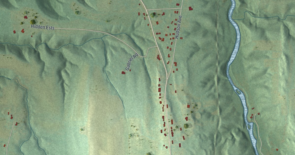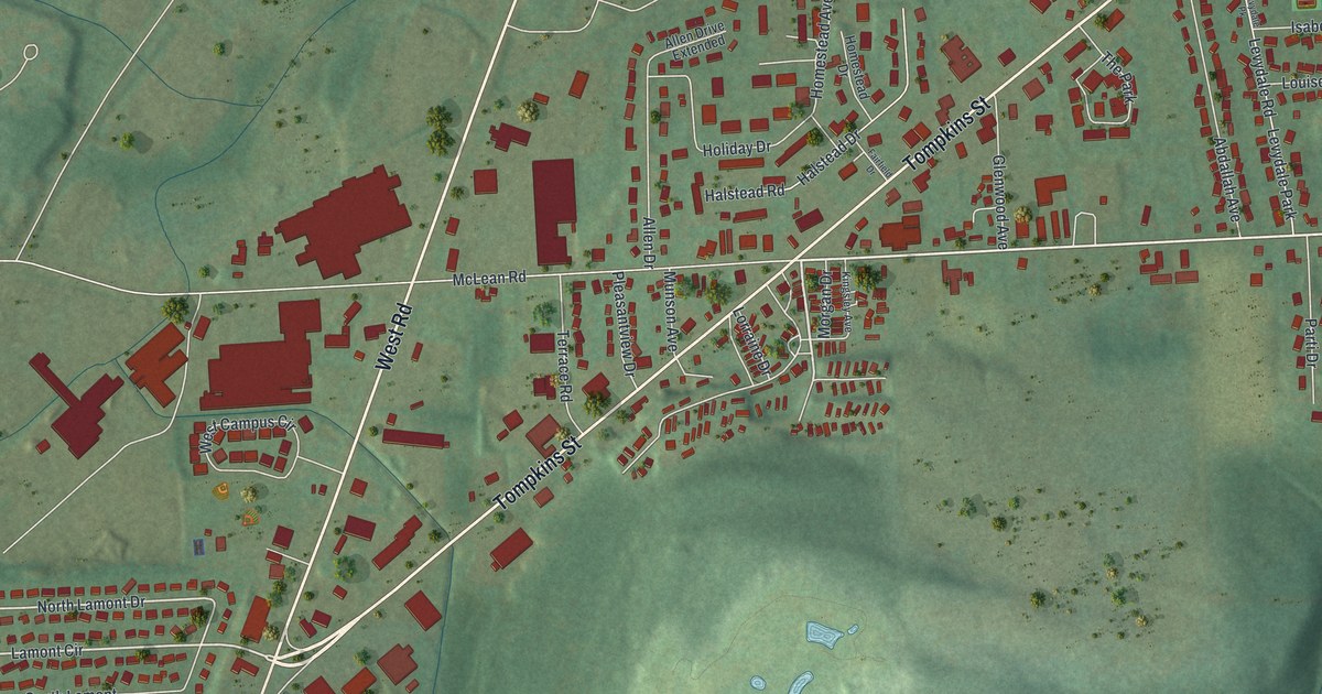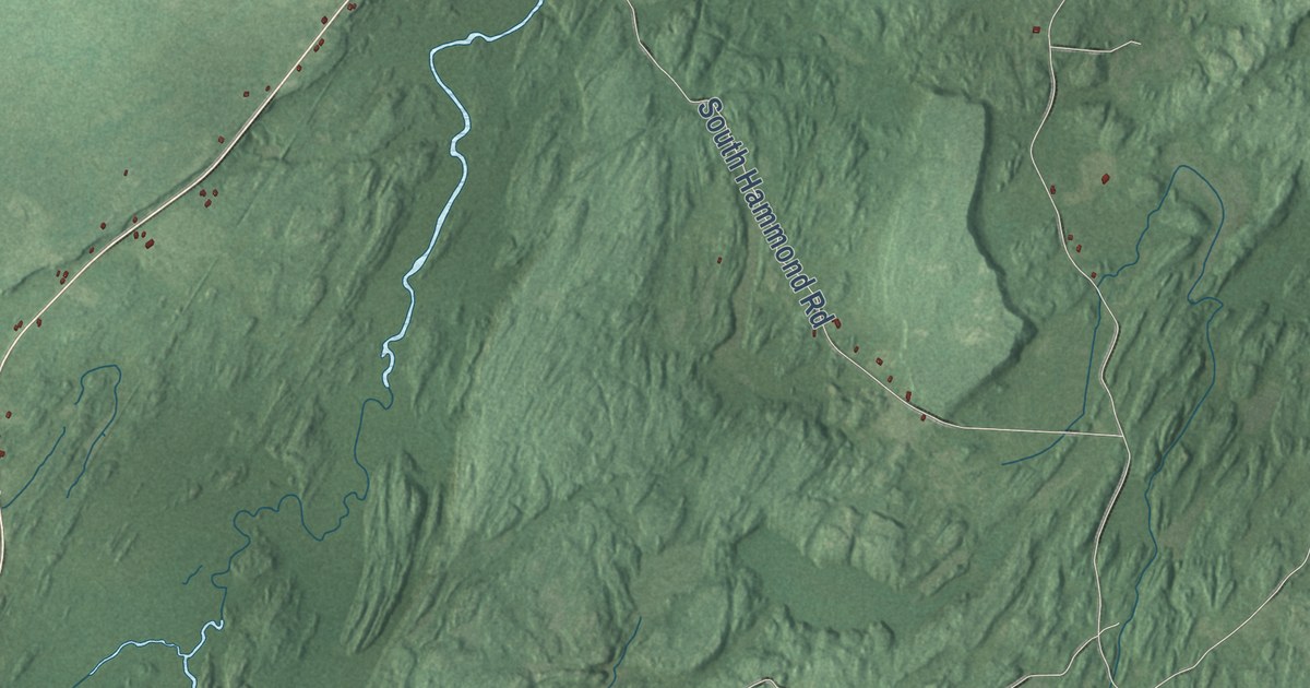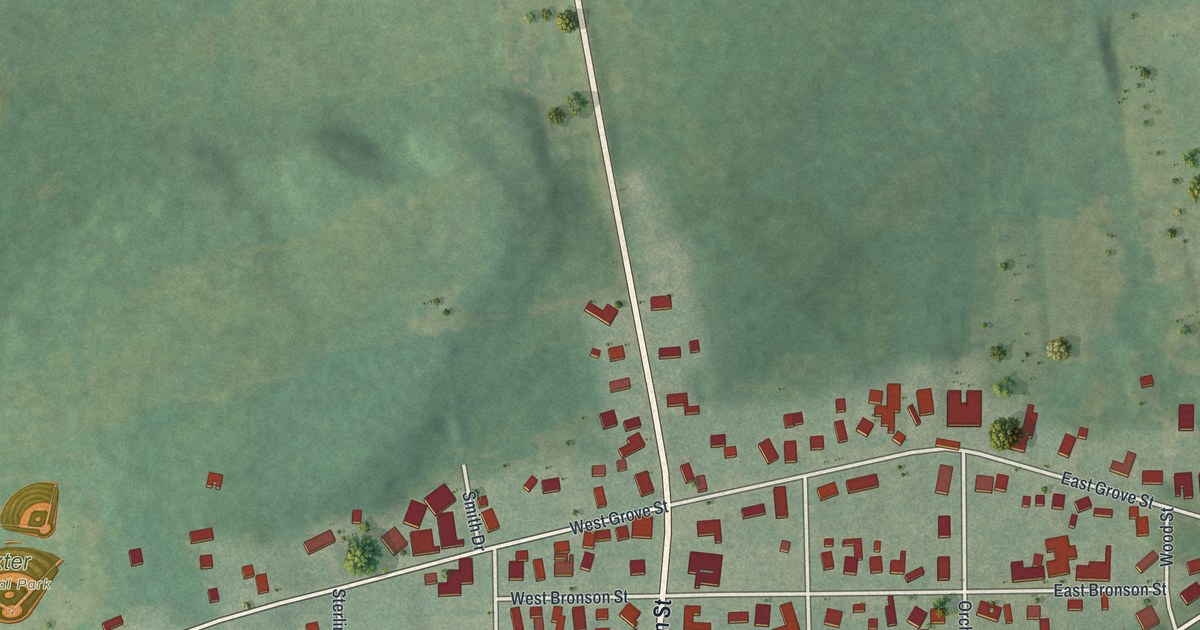
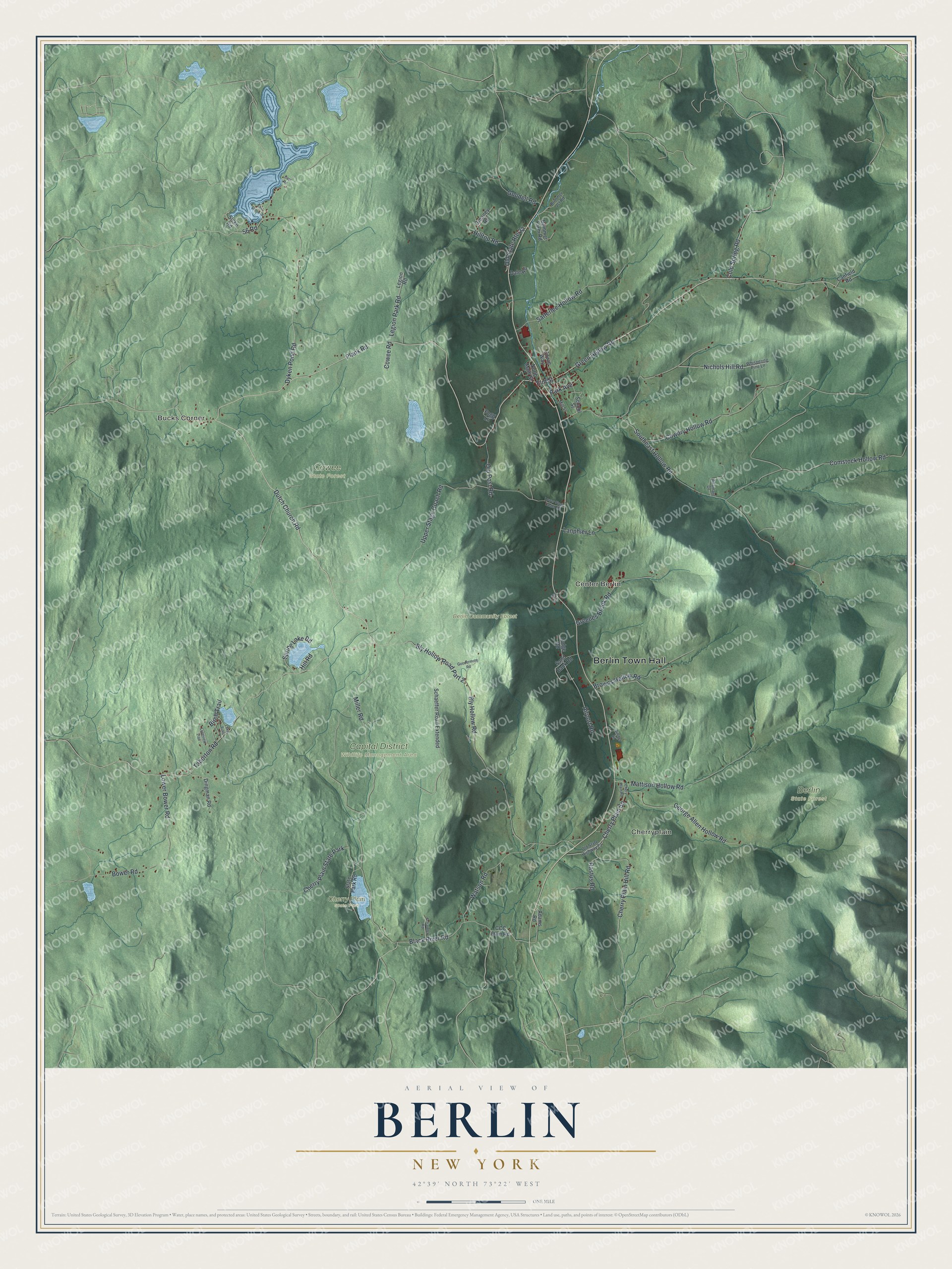
This beautifully detailed map of Berlin, New York was created in 2026 using aerial imagery combined with modern topographical, census, street and landmark data. It’s a one-of-a-kind view of Berlin that combines accurate data with a vintage aesthetic. The map shows every building in its true location, many of the roads carry their names, and the shaded topographic relief shows the shape of the land.
Explore an aerial view of Berlin, New York
On the map you’ll find Berlin Town Hall, Bucks Corner, Cherryplain, Center Berlin, Berlin Community Forest, Capital District Wildlife Management Area, Cherry Plain State Park, and Cowee State Forest, along with Dutch Church Road, Park Avenue, Elm Street, Green Hollow Road, and more. If you look closely you can even find your house accurately drawn in its correct location. Zoom in on the preview to look for yours.
Did You Know?
By 1940 Berlin was turning out 100,000,000 lollipop sticks every month. Its growers also raised 2,000,000 rosebuds each year. That was a big output for a place of only about 750 people. That’s from the 1940 WPA guide to New York.
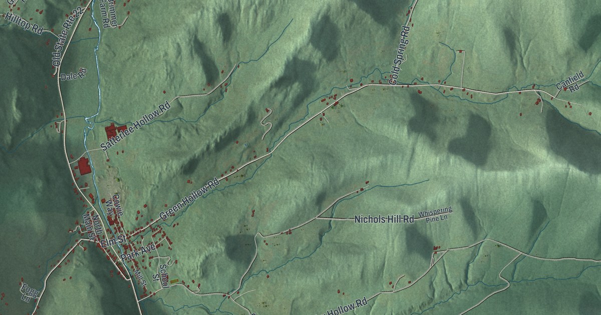
Take a closer look at the Berlin map
Names on this map
These names are printed on this map.
Places: Berlin Town Hall, Bucks Corner, Cherryplain, Center Berlin, Berlin State Forest, Berlin Community Forest, Capital District Wildlife Management Area, Cherry Plain State Park and Cowee State Forest.
Streets and roads: Dutch Church Road, Park Avenue, Elm Street, Green Hollow Road, Cherry Plain Hill Road, Black River Road, Cold Spring Road, Plank Road, Bly Hollow Road, Southeast Hollow Road, Miller Road, Taborton Road.
More street names, A to Z
56 Road, Adamant Drive, Adams Road, Airport Road, Birch Trail, Bly Hollow Road Part 2, Bower Road, Brimmer Farm Road, Brimmer Jct Road, Browns Hollow Road, Canfield Road, CCC Dam Road, Cherry Plain Square, Chery Plain Road, Comstock Hollow Road, Cowdry Hollow Road, Cowee Road, Cowie Way, Dale Road, Dingman Road, Dyken Pond Road, East Road, East Shore Drive, Fogg Lane, George Allen Hollow Road, Gilcher Lane, Goodell Road, Goodermote Road, Greaney Road, Greenes Brook Road, Hill Road, Hilltop Road, Lake Trail, Lanphier Lane, Legion Park Road, Legion Road, Lodge Road, Longview Trail, Lower Bower Road, Lower Stage Coach Road, Mattison Hollow Road, Mill Street, Nichols Hill Road, North Main Street, Old 22, Old Post Road, Old State Highway 22, Old State Route 22, Rastus Road, Sand Bank Road, Satterlee Hollow Road, Schaeffer Road, Schaeffer Road Extended, School Street, Sicko Road, Spring Lake Road, State Park Road, Upper Stage Coach Road, Watson Road, Whispering Pine Lane.
See it on a wall
The Berlin map as a framed print. Swipe for more.


This beautifully detailed map of Berlin makes an attractive addition to your office, library, or den, and it can even be used to teach children the geography and history of the area. It also makes a great gift for anyone with Berlin roots. When you’re done exploring, click here to get your copy of the Berlin map.