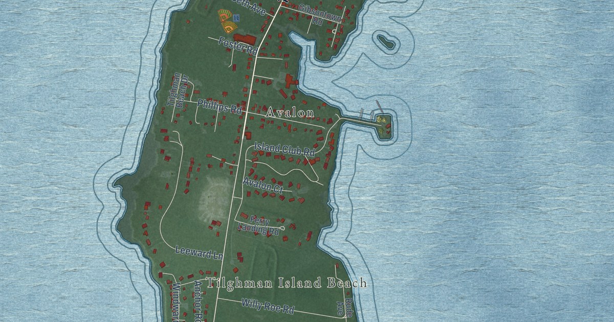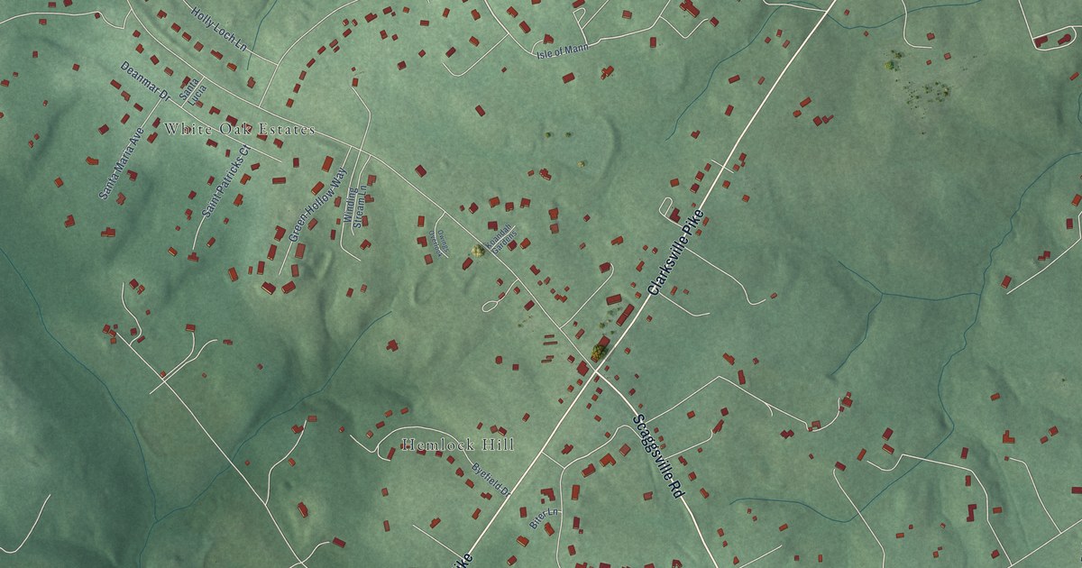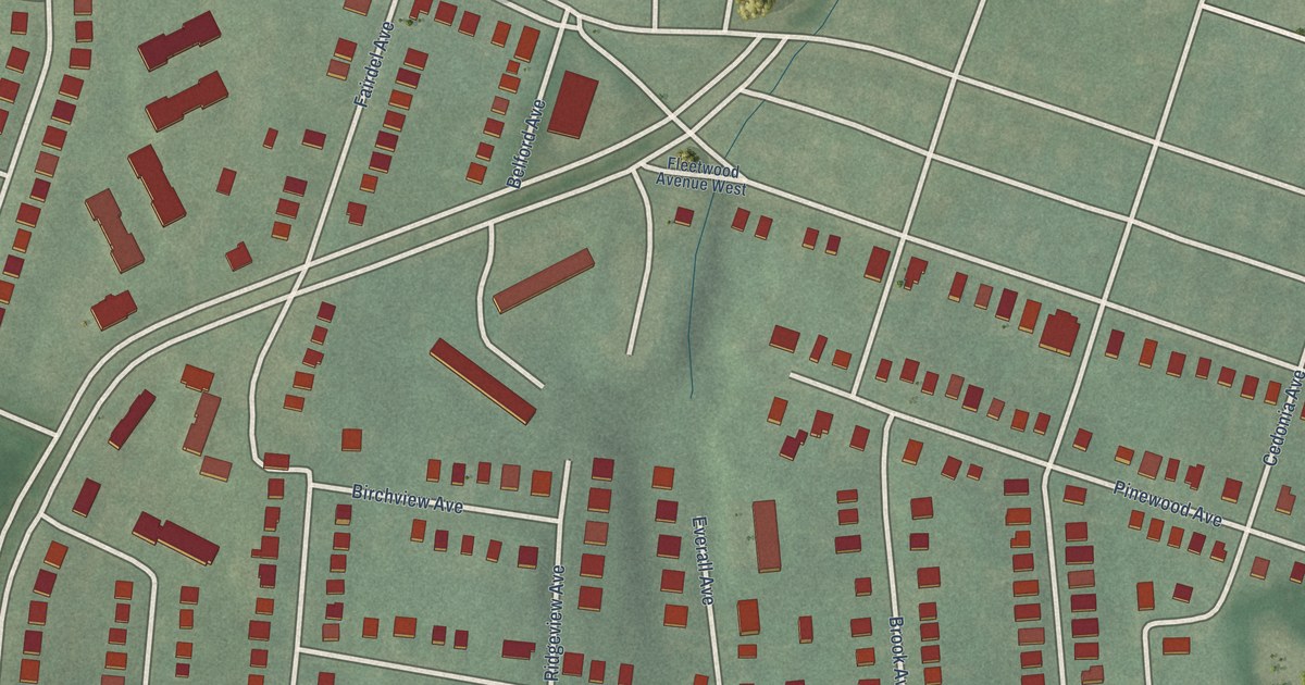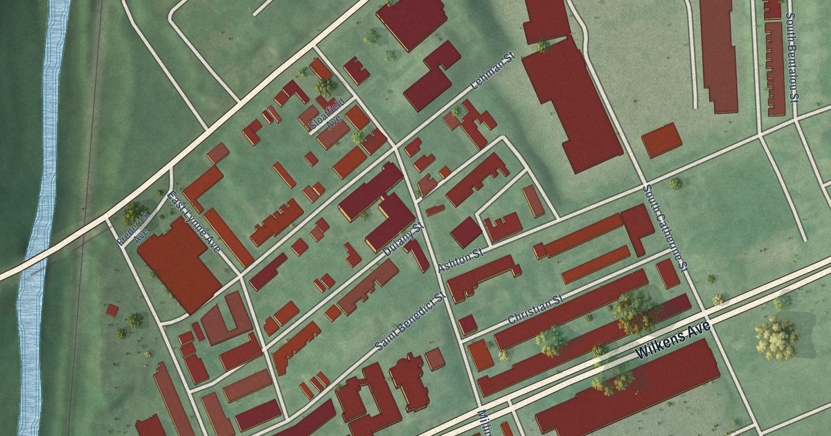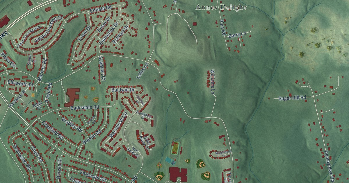
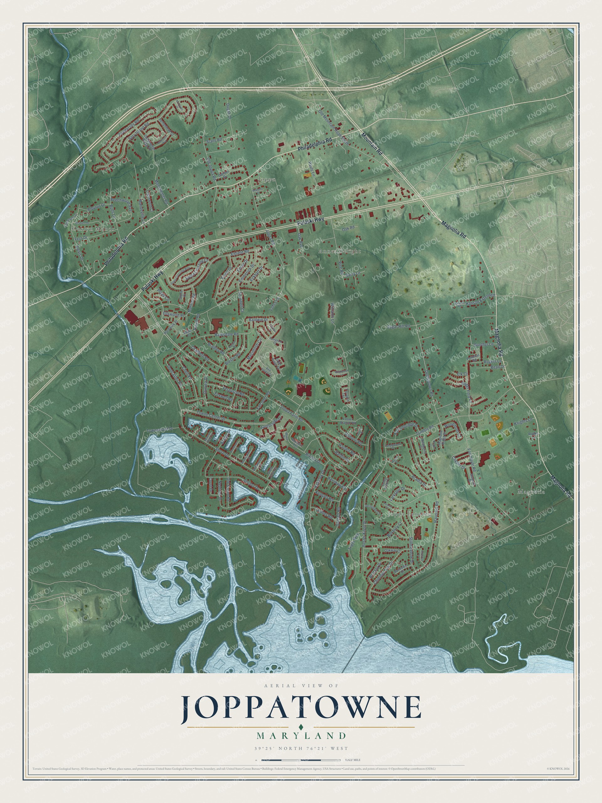
This beautifully detailed map of Joppatowne, Maryland was created in 2026 using aerial imagery combined with modern topographical, census, street and landmark data. It's a modern aerial view of Joppatowne in Harford County, Maryland, that combines modern data with a vintage aesthetic. The roads feature printed names, and if you look closely you can find your exact house accurately shown in its correct location.
Explore an aerial view of Joppatowne, Maryland
On this map you'll find Annes Delight, Joppa Landing, Oaklyn Manor, Magnolia, Joppa, Pulaski Highway, Magnolia Road, Philadelphia Road, Mountain Road, Joppa Farm Road, Clipper Drive, Towne Center Drive, and more. Each red shape is a building, so zoom in on the preview and look for yours.
Every town has a first chapter, and Joppatowne is no exception. Joppa Town, on the Gunpowder River, was the seat of Baltimore County from 1712 to 1768. Before the Revolution it became a major tobacco port, where ships from New England, the West Indies and Europe made regular calls. Timber cutting along the Gunpowder later filled the harbor with silt, and in 1768 Baltimore became the county seat. Old Joppa slowly became a ghost town. That's from the Federal Writers Project.
Joppatowne is a community in Harford County. The Census Bureau counted 13,425 people here in 2020.
Take a closer look at the Joppatowne map
Names on this map
These names are printed on this map.
Places: Annes Delight, Joppa Landing, Oaklyn Manor, Magnolia and Joppa.
Streets and roads: Pulaski Highway, Magnolia Road, Philadelphia Road, Mountain Road, Joppa Farm Road, Clipper Drive, Towne Center Drive, Harborside Drive, Dembytown Road, Old Mountain Road South, Trimble Road, Shore Drive.
More street names, A to Z
Acadia Drive, Adair Court, Alexis Drive, Anchor Drive, Arbutus Drive, Avedon Court, Averill Road, Baldwin Drive, Barksdale Road, Barry Lane, Beacon Point Court, Beall Drive, Beavers Court, Beechwood Avenue, Berkshire Court, Bonham Road, Bradley Road, Breakwater Court, Breslin Road, Bridewells Court, Bridge Drive, Brittany Drive, Brooke Court, Bulls Lane, Burnside Court, Chatfield Road, Chell Road, Chimney Oak Drive, Cider Press Court, Court Drive, Doncaster Road, Driftwood Court, Dugan Drive, Duryea Drive, Eckhart Drive, Elk Court, Ellsworth Place, Emmerick Drive, Enfield Road, Ensor Drive, Erwin Drive, Falconbridge Drive, Falconer Road, Ferguson Road, Fern Drive, Fort Hoyle Road, Foster Branch Road, Foster Knoll Drive, Foxwell Road, Gander Drive, Garnett Road, Gilmore Road, Grigsby Court, Gunpowder Drive, Gunpowder Ridge Road, Gunther Lane, Hanson Extended, Hanson Road, Hardin Drive, Hardwick Place, Haslett Road, Haverhill Road, Hempstead Court, Jonathan Drive, Joppa Crossing Court, Joppa Crossing Way, Joppa Road, Kearney Drive, Kemper Road, Kershaw Road, Knights Lane, Larkspur Drive, Latimer Road, Loganwood Court, Lohrs Lane, Macintosh Circle, Magnolia Ridge Drive, Manchester Road, Mandeville Lane, Mariner Road, Minglewood Lane, Monaco Terrace, Neptune Drive, Newberry Court, Oak Avenue, Oak Road, Oakway Court, Old Joppa Road, Old Sound Road, Orsburn Drive, Pauls Lane, Pine Road, Plaza Circle, Potomac Road, Powdersby Road, Ravenswood Court, Red Haven Court, Renee Drive, Riviera Drive, Roger Ford Lane, Rogers Lane, Ropka Lane, Roxbury Court, Scannell Court, Shell Cove Court, Sourghum Court, Springdale Court, Spry Island Road, Stans Road, Staysail Drive, Stillmeadow Drive, Stone Court, Sugar Hill Road, Tanglewood Court, Tartan Green Court, Terrapin Terrace, Townewood Drive, Trails Way, Watertons Way, Williams Lane, Woodmont Court, Wycliff Court.
See it on a wall
The Joppatowne map as a framed print. Swipe for more.


Created by KNOWOL in 2026. The buildings are small red shapes, the roads carry their printed names, and shaded relief shows the shape of the land. The title panel reads "AERIAL VIEW OF JOPPATOWNE, MARYLAND" with 39°25' NORTH 76°21' WEST.
Hang it in the hallway, the office or the cabin, or give it to someone who left Joppatowne and still calls it home. Open the preview and look for a street you know. See sizes and frames for the Joppatowne map.