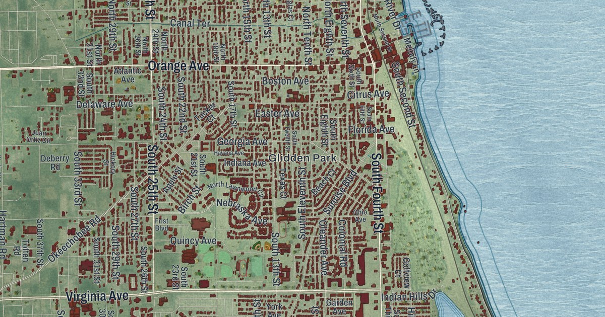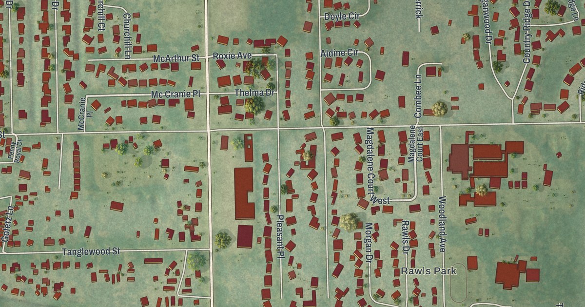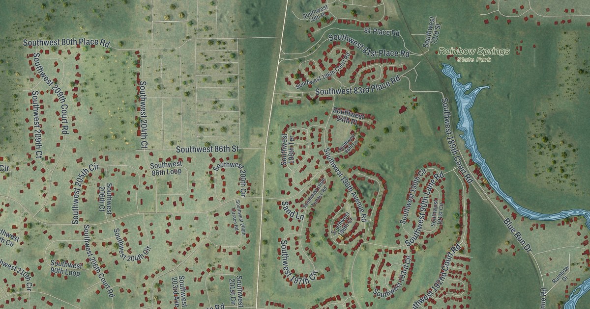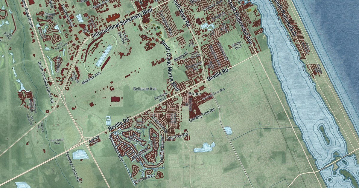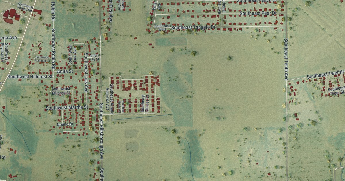
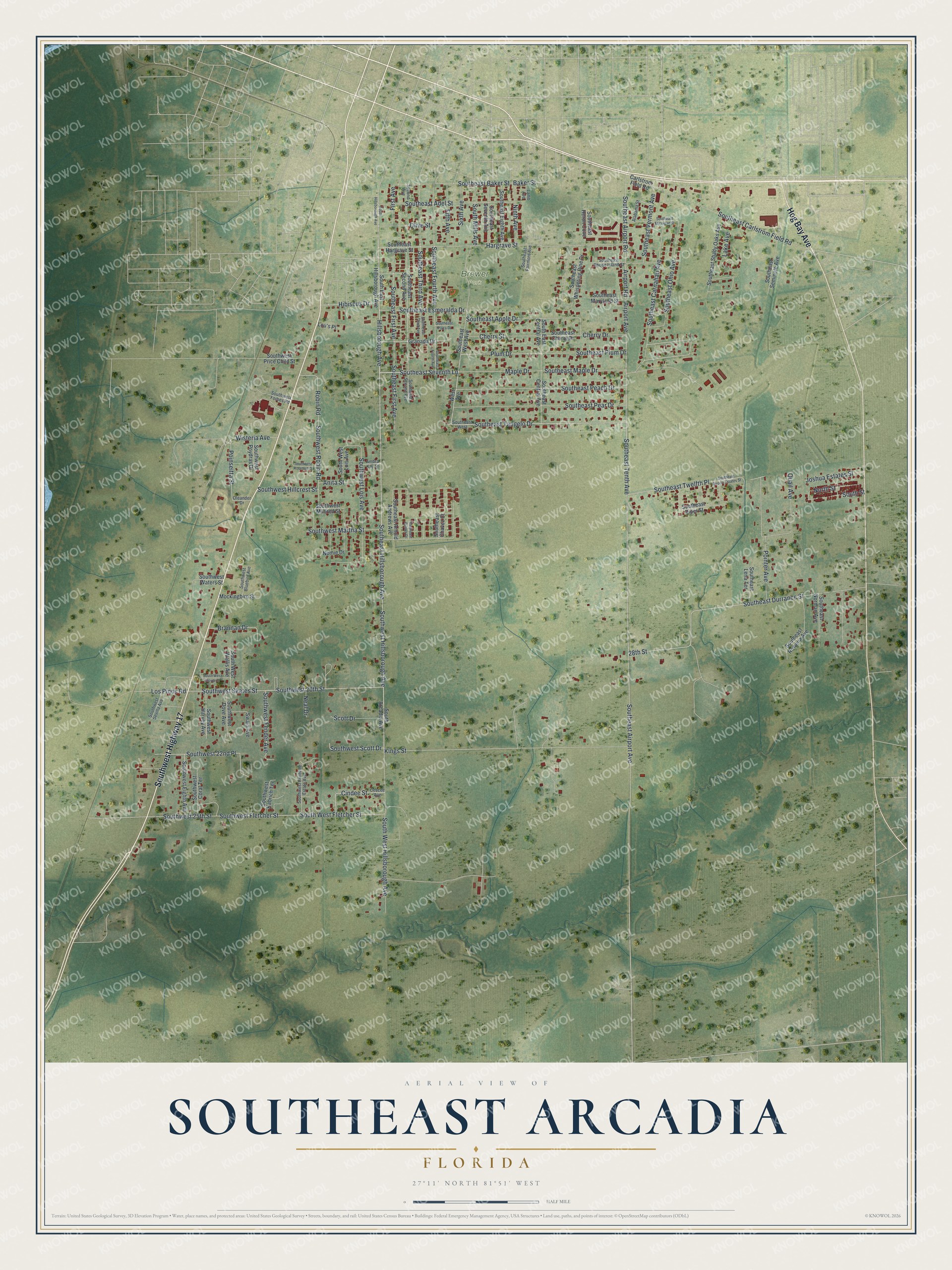
This beautifully detailed map of Southeast Arcadia, Florida was created in 2026 using aerial imagery combined with modern topographical, census, street and landmark data. It’s a one-of-a-kind view of Southeast Arcadia that combines accurate data with a vintage aesthetic. The map shows every building in its true location, many of the roads carry their names, and the shaded topographic relief shows the shape of the land.
Explore an aerial view of Southeast Arcadia, Florida
On the map you’ll find Brewer Park, along with Hog Bay Avenue, Southwest Highway 17, Southeast Maple Drive, Hillsborough Avenue, Southeast Seventh Lane, Southeast Tangelo Drive, Southeast Tenth Avenue, Airport Avenue, Southeast Hillsborough Avenue, Plum Drive, Southeast Esmeralda Drive, and more. Southeast Arcadia sits about 13 miles south of Gardner, 13 miles south of Limestone and 16 miles northeast of Harbour Heights. If you look closely you can even find your house accurately drawn in its correct location. Zoom in on the preview to look for yours.
Did You Know?
From the AOPA Pilot magazine: "In 1934, the City of Arcadia built another airfield two miles south of town to be used as a secondary field to Carlstrom and Dorr. After World War II, a flight school opened there and in the 1980s an operator trained glider pilots, but today the flight activity is purely recreational." Carlstrom and Dorr were Army pilot training fields built near Arcadia after the United States entered the First World War, when Arcadia was known as Aviation City.
Take a closer look at the Southeast Arcadia map
Names on this map
These names are printed on this map.
Places: Brewer Park.
Streets and roads: Hog Bay Avenue, Southwest Highway 17, Southeast Maple Drive, Hillsborough Avenue, Southeast Seventh Lane, Southeast Tangelo Drive, Southeast Tenth Avenue, Airport Avenue, Southeast Hillsborough Avenue, Plum Drive, Southeast Esmeralda Drive, 28th Street.
More street names, A to Z
Airport Road, Alabama Street, Ambra Kay Street, Anita Street, Baker Street, Brannan Drive, Carlstrom Field Road, Cescee Avenue, Cherry Drive, Cherry Street, Cindee Street, Fifth Avenue, First Avenue, Granada Drive, Hargrave Street, Hibiscus Drive, Joshua Estates Street, Kings Street, Lake Avenue, Lamb Avenue, Los Pinos Road, Lou's Place, Maple Drive, Mockingbird Street, Neal Drive, Ninth Avenue, Nomie Drive, North Street, Oleander Drive, Olive Street, Poinseitta Street, Pointer Avenue, Quail Avenue, Robin Road, Scott Drive, Second Avenue, Sixth Avenue, South Arcadia Avenue, Southeast Adel Street, Southeast Airport Avenue, Southeast Airport Estates Street, Southeast Airport Road, Southeast Apple Drive, Southeast Arnold Andrews Avenue, Southeast Baker Street, Southeast Buster Court, Southeast Carlstrom Field Road, Southeast Carnahan Avenue, Southeast Central Avenue, South East Central Avenue, Southeast Chavez Court, Southeast Cherry Drive, Southeast Durrance Street, Southeast Eighth Avenue, Southeast Fairmont Avenue, Southeast First Avenue, Southeast Fourth Avenue, Southeast Hargrave Street, Southeast Heron Cove, South East Hillsborough Avenue, Southeast Lena Terrace, Southeast Maryland Street, Southeast Michigan Street, Southeast Norman Avenue, Southeast Ohio Avenue, Southeast Peach Drive, Southeast Pear Drive, Southeast Piper Street, Southeast Plaza Drive, Southeast Plum Drive, Southeast Rhode Island Street, Southeast Rowena Avenue, Southeast Second Avenue, Southeast Seminole Avenue, Southeast Seventh Avenue, Southeast Shady Oaks Avenue, Southeast Third Avenue, South East Third Avenue, Southeast Twelfth Place, Southeast Vermont Avenue, Southeast West, Southeast West Avenue, Southeast Whispering Pine Drive, South Hillsborough Avenue, South Mills Avenue, South Street, Southwest 20th Street, Southwest 22nd Place, Southwest 25th Street, Southwest Bluebird Avenue, South West Clover Drive, Southwest Coral Terrace, Southwest Dove Avenue, Southwest Eighth Avenue, Southwest Fender Avenue, Southwest Fletcher Street, South West Fletcher Street, Southwest Forbes Road, Southwest Fruitville Estate Avenue, Southwest Harvey Avenue, Southwest Hillcrest Street, Southwest Hillsborough Avenue, South West Hillsborough Avenue, Southwest Kabrich Terrace, Southwest Lois Avenue, South West Lois Avenue, Southwest Martha Street, Southwest Mildred Street, Southwest Poydras Drive, Southwest Price Child Street, Southwest Robin Road, Southwest Rosebud Drive, Southwest Scott Drive, Southwest Sevilla Avenue, Southwest Skates Street, South West Wallis Avenue, Southwest Waters Street, Swain Avenue, West Avenue, Wisteria Avenue.
See it on a wall
The Southeast Arcadia map as a framed print. Swipe for more.


This beautifully detailed map of Southeast Arcadia makes an attractive addition to your office, library, or den, and it can even be used to teach children the geography and history of the area. It also makes a great gift for someone who left Southeast Arcadia and still calls it home. When you’re done exploring, click here to get your copy of the Southeast Arcadia map.