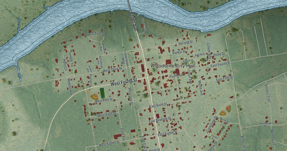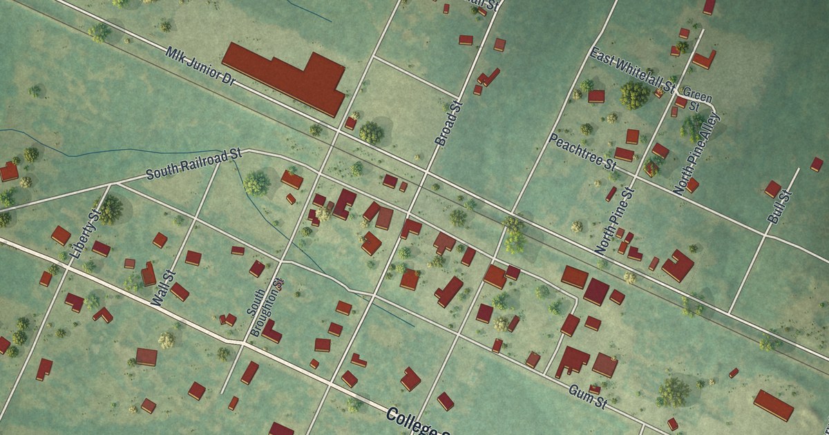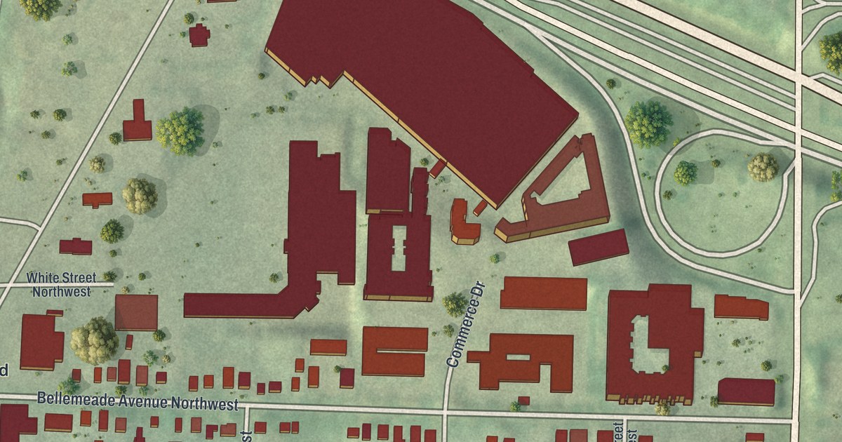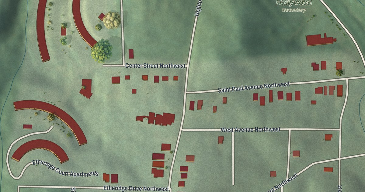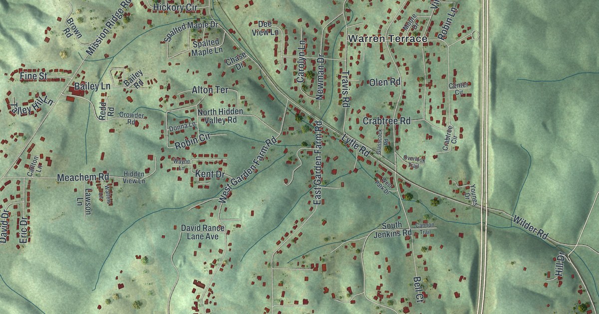
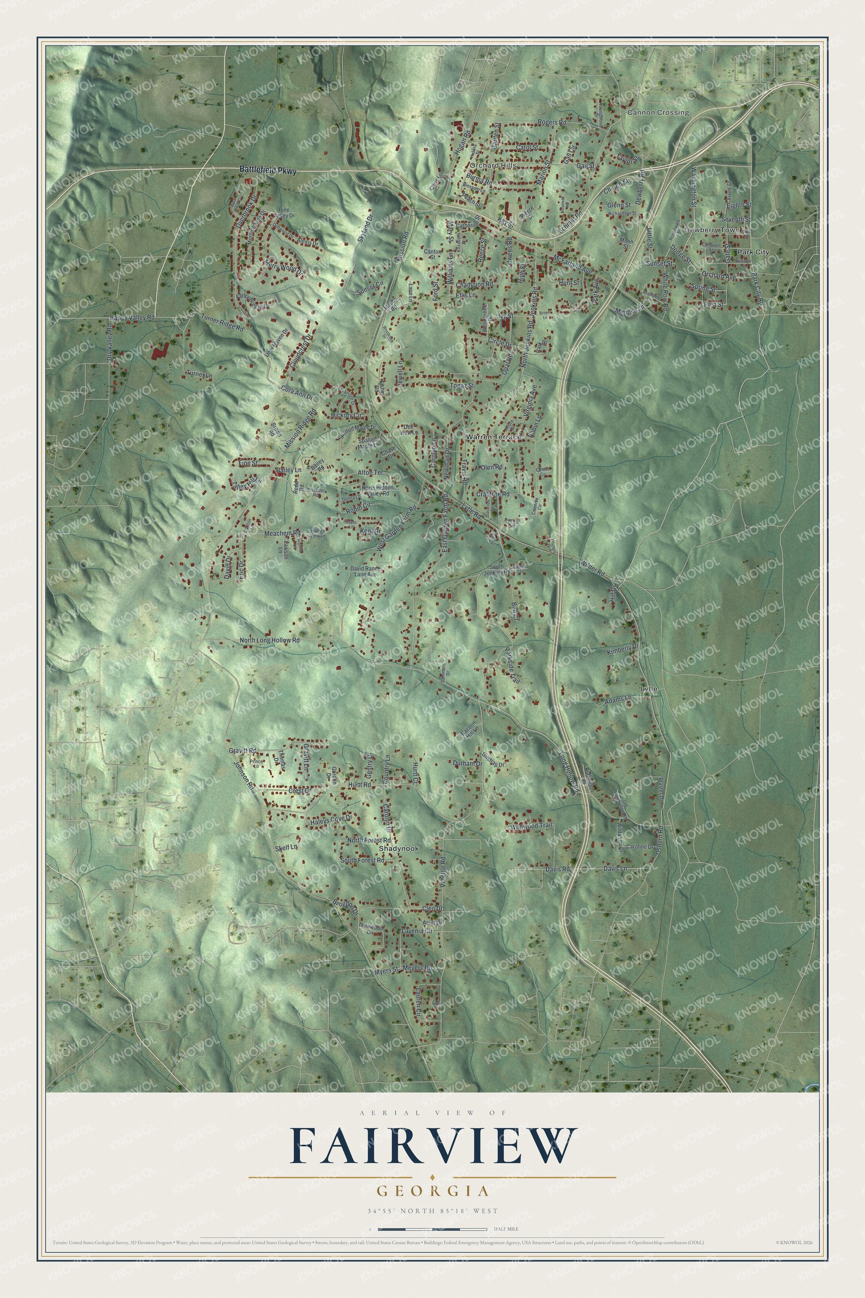
This beautifully detailed map of Fairview, Georgia was created in 2026 using aerial imagery combined with modern topographical, census, street and landmark data. It's a modern aerial view of Fairview in Walker County, Georgia, that combines modern data with a vintage aesthetic. The roads feature printed names, and if you look closely you can find your exact house accurately shown in its correct location.
Explore an aerial view of Fairview, Georgia
On this map you'll find Cannon Crossing, Dewberry Town, Orchard Hills, Shadynook, Lytle, Warren Terrace, Park City, Battlefield Parkway, Park City Road, Lytle Road, North Long Hollow Road, Washington Street, and more. Each red shape is a building, so zoom in on the preview and look for yours.
Every town has a first chapter, and Fairview is no exception. During the Battle of Chickamauga in September 1863, the beaten Union right fell back northwest through McFarland's Gap to Rossville. At dusk the Union troops who had held Snodgrass Hill all afternoon under General George Thomas, the Rock of Chickamauga, withdrew through the same gap. The Confederate victory there gave new hope to the South after the defeats at Gettysburg and Vicksburg that July. That's from the National Park Service.
Fairview is a community in Walker County. The Census Bureau counted 6,409 people here in 2020.
Take a closer look at the Fairview map
Names on this map
These names are printed on this map.
Places: Cannon Crossing, Dewberry Town, Orchard Hills, Shadynook, Lytle, Warren Terrace and Park City.
Streets and roads: Battlefield Parkway, Park City Road, Lytle Road, North Long Hollow Road, Washington Street, Orchard Avenue, Dodge Street, Vittetoe Road, North Jenkins Road, White Row Road, Long Hollow Road, Jenkins Road.
More street names, A to Z
Acuff Drive, Adams Lane, Alexis Drive, Alton Terrace, Bailey Lane, Bailey Road, Bell Court, Blossom Lane, Brandon Lane, Broadway Road, Brogdon Drive, Brown Lane, Brown Road, Buffington Lane, Burma Road, Campbell Street, Cannon Trail, Canton Street, Carlton Lane, Caroline Drive, Carol Street, Carolyn Drive, Carolyn Lane, Catherine Street, Center Circle, Champion Road, Chase Drive, Chris Lane, Church Street, Circle Drive, Cleo Drive, Cloudcrest Drive, Cora Ann Drive, Country Lane, Crabtree Circle, Crabtree Road, Crest Drive, Crowder Road, Dalewood Circle, David Drive, David Rance Lane Avenue, Davis Lane, Davis Road, Deer Haven Drive, Dee View Lane, Dellwood Drive, Dewberry Road, Donna Lane, Dry Valley Road, Durham Drive, East Garden Farm Road, Eighth Street, Elizabeth Street, Ellis Lane, Eric Drive, Fine Street, First Street, Fisher Road, Ford Street, Front Street, Gail Circle, Gail Street, Garden Street, Gate Street, Gentry Drive, Gilstrap Drive, Glasscock Road, Glenn Street, Gordon Drive, Gravitt Lane, Gravitt Road, Haleys Cove Drive, Happy Valley Road, Hickory Circle, Hidden View Lane, High Street, Hill Drive, Hogan Road, Hulana Street, Hunt Street, Hurtt Court, Hurtt Road, Ivy Street, Jacobs Road, Jewell Lane, Johnson Road, Kay Street, Kent Drive, Kimberly Drive, Lace Lane, Lauren Circle, Lavenia Circle, Lawson Lane, Little Street, Marion Street, Mary Street, McFarland Avenue, Meachem Road, Merry Wood Drive, Meyers Road, Mimosa Lane, Mission Ridge Road, Mission Road, Moon Street, Moore Drive, Morning Side Drive, Myers Street, Newman Drive, North Forest Road, North Hidden Valley Road, Old Longhollow Road, Olen Road, Opal Road, Osburn Road, Overbrook Drive, Overlook Trail, Owens Road, Park Avenue, Park Drive, Parkside Trail, Peach Street, Pierce Drive, Pine Valley Drive, Plaster Drive, Prince Lane, Racoon Hill Lane, Redd Road, Reece Street, Richardson Street, Robin Circle, Robin Lane, Rock Brook Cv, Rogers Road, Rosenwald Street, Sammons Drive, Schmitt Road, Seventh Street, Sixth Street, Skelf Lane, Skyland Drive, South Forest Road, South Jenkins Road, Spalted Maple Drive, Spalted Maple Lane, Spring Street, Sunset Circle, Sunset Street, Sycamore Drive, Talley Hill Lane, Tarvin Road, Taylor Street, Thomas Drive, Topaz Street, Travis Road, Turner Lane, Turner Ridge Road, Valley Breeze Drive, Virginia Avenue, Walters Lane, Wayne Lane, Westbrook Drive, West Garden Farm Road, West Park Drive, Wilburger Street, Wilda Lou Drive, Wilder Road, Wildwood Trail, Williams Lane, Woodcreek Drive, Younes Drive, Youngblood Drive.
See it on a wall
The Fairview map as a framed print. Swipe for more.


Created by KNOWOL in 2026. The buildings are small red shapes, the roads carry their printed names, and shaded relief shows the shape of the land. The title panel reads "AERIAL VIEW OF FAIRVIEW, GEORGIA" with 34°55' NORTH 85°18' WEST.
Hang it in the hallway, the office or the cabin, or give it to someone who left Fairview and still calls it home. Open the preview and look for a street you know. See sizes and frames for the Fairview map.