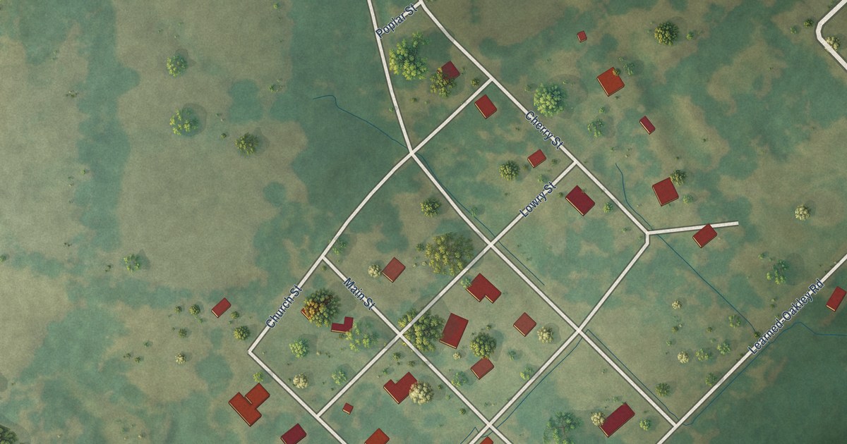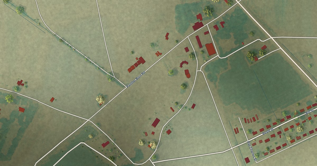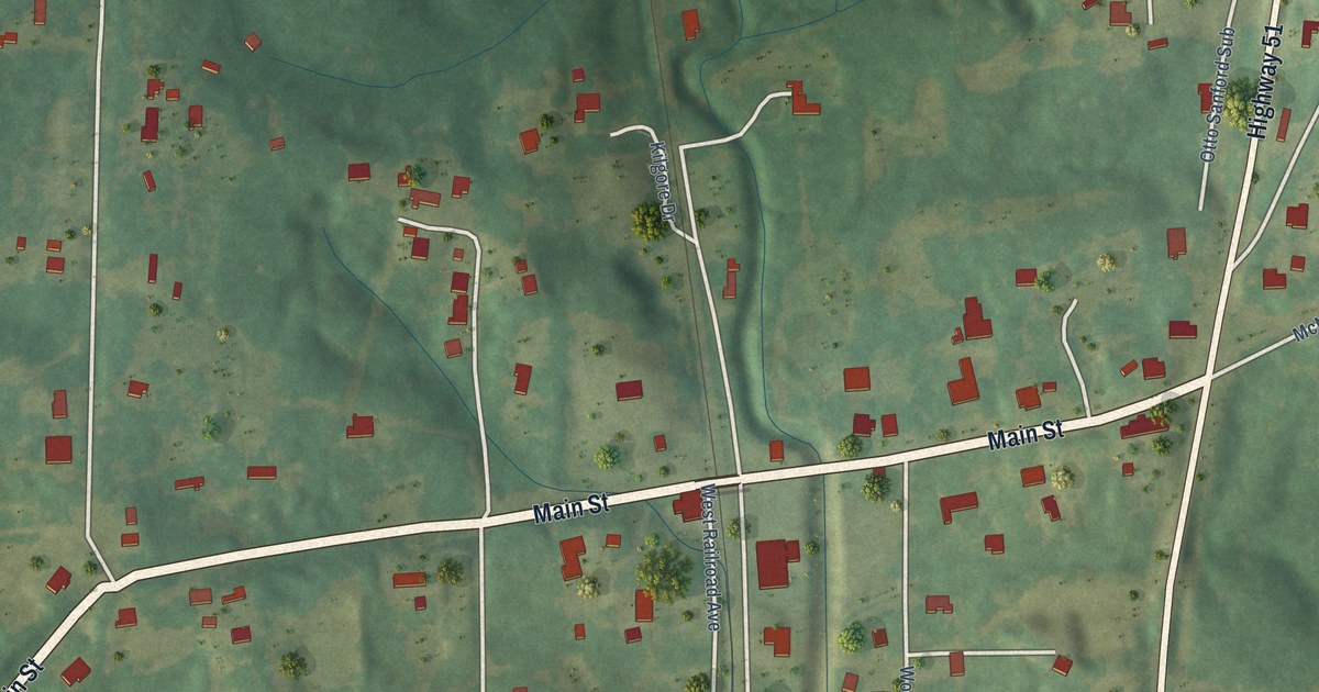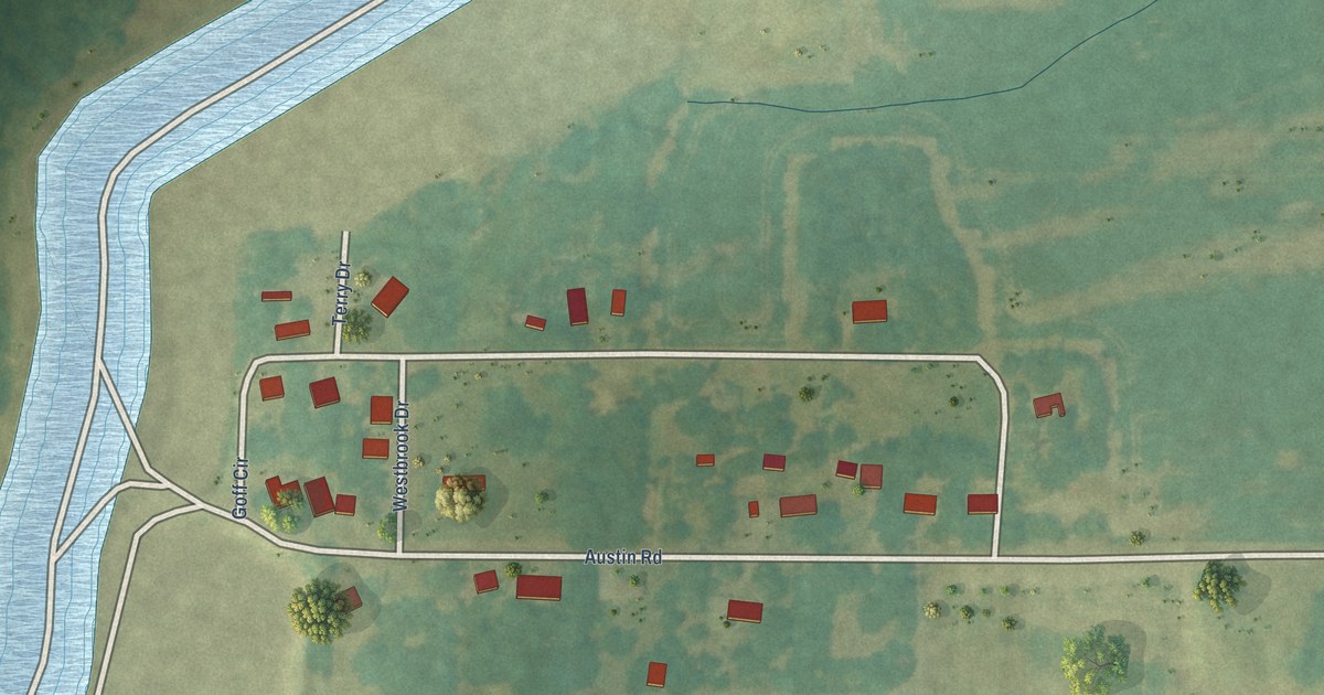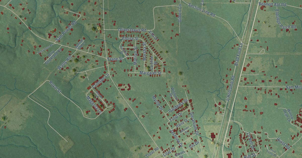
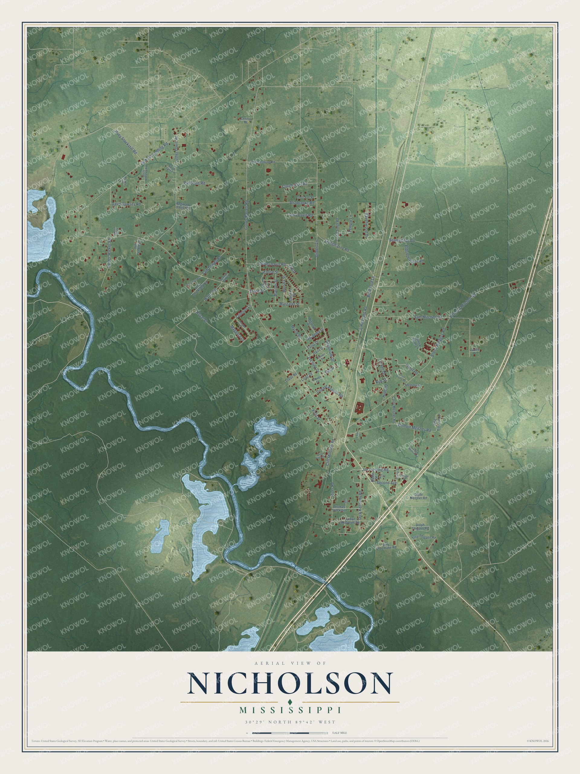
This beautifully detailed map of Nicholson, Mississippi was created in 2026 using aerial imagery combined with modern topographical, census, street and landmark data. It's a modern aerial view of Nicholson in Pearl River County, Mississippi, that combines modern data with a vintage aesthetic. The roads feature printed names, and if you look closely you can find your exact house accurately shown in its correct location.
Explore an aerial view of Nicholson, Mississippi
On this map you'll find Elane Street, Jj Holcomb Road, Jackson Landing Road, Grover Barrett Road, Royal Street, Shorty Burgess Road, Huey Stockstill Road, Sam Mitchell Road, Section Line Road, Brad Ford Lane, Luther Davis Road, River Road, and more. Each red shape is a building, so zoom in on the preview and look for yours.
Every town has a first chapter, and Nicholson is no exception. Nicholson was the starting point of the Pearl River Valley Railroad, incorporated in 1917 to build a line from Nicholson to Columbia. By 1921 its tracks reached Easley, more than 25 miles north, serving logging camps in the timber country. Once the timber was cut out, the northern line was given up. Its last stretch, from Nicholson to Goodyear in western Picayune, served Crosby industries until it was abandoned about 2007. That's from the Mississippi railroad history site.
Nicholson is a community in Pearl River County. The Census Bureau counted 2,833 people here in 2020. Nicholson sits about 3 miles southwest of Picayune, 7 miles southwest of Hide-A-Way Lake and 17 miles west of Kiln. The map prints the town name in its title panel, with the coordinates below it.
Take a closer look at the Nicholson map
Names on this map
These names are printed on this map.
Streets and roads: Elane Street, Jj Holcomb Road, Jackson Landing Road, Grover Barrett Road, Royal Street, Shorty Burgess Road, Huey Stockstill Road, Sam Mitchell Road, Section Line Road, Brad Ford Lane, Luther Davis Road, River Road.
More street names, A to Z
Allie Essence Lane, Alsobrooks Road, Bennett Apt Road, Billy Shoemake Road, Burma Lane, Carey Meitzler Road, Carlie Smith Road, Caroline Street, Cerino Drive, Claude Furr Road, Cliff Mitchell Road, Clover Drive, Clyde Meitzler Road, Crimson Lane, Daisy Andrews Road, Daisy Drive, Davis Dawsey Road, Dick Kennedy Road, Dolph Thigpen Road, Donald Penton Road, Doug Holcomb, Dub Fendley Road, Edmond Mitchell Road, Egert Street, Eldridge Patch Road, Eloise Street, Emily Lane, Emmett Meitzler Road, Ernest Furr Road, First Street, Ford Evans Road, Foster Clark Road, Gardenia Drive, Geranium Drive, Gilbert Lane, Harry Street, Henry Hann Road, Hodge Drive, Hunt Road, Hurst Road, Iris Drive, Ivory Davis Road, Jasmine Drive, Jerry Strickland Road, Joe Fleming Road, Jordan McQueen Road, Kim Street, Lilac Drive, Lil Nell Drive, Lucille Drive, Luther Walker Road, Mable Street, Magenta Lane, Margaret Street, Marilyn Street, Maroon Drive, Marsha Street, Memory Lane, Myrtle Drive, Oleander Drive, Oliver Davis Road, Pat Davis Road, Ravenwood Drive, Reginald Davis Road, Roy Street, Sam Powell Road, Sarah Jane Lane, Second Avenue, Spanish Oak Lane, Temple Lane, Thomas Stockstill, Topaz Road, Trey Thigpen Road, Tulip Drive, Veronica Drive, Villa Drive, Virgil Mitchell Road, Watts Hill, Williamsburg Road, Willow Dean Lane, Wisteria Drive.
See it on a wall
The Nicholson map as a framed print. Swipe for more.


Created by KNOWOL in 2026. The buildings are small red shapes, the roads carry their printed names, and shaded relief shows the shape of the land. The title panel reads "AERIAL VIEW OF NICHOLSON, MISSISSIPPI" with 30°29' NORTH 89°42' WEST.
Hang it in the hallway, the office or the cabin, or give it to someone who left Nicholson and still calls it home. Open the preview and look for a street you know. See sizes and frames for the Nicholson map.