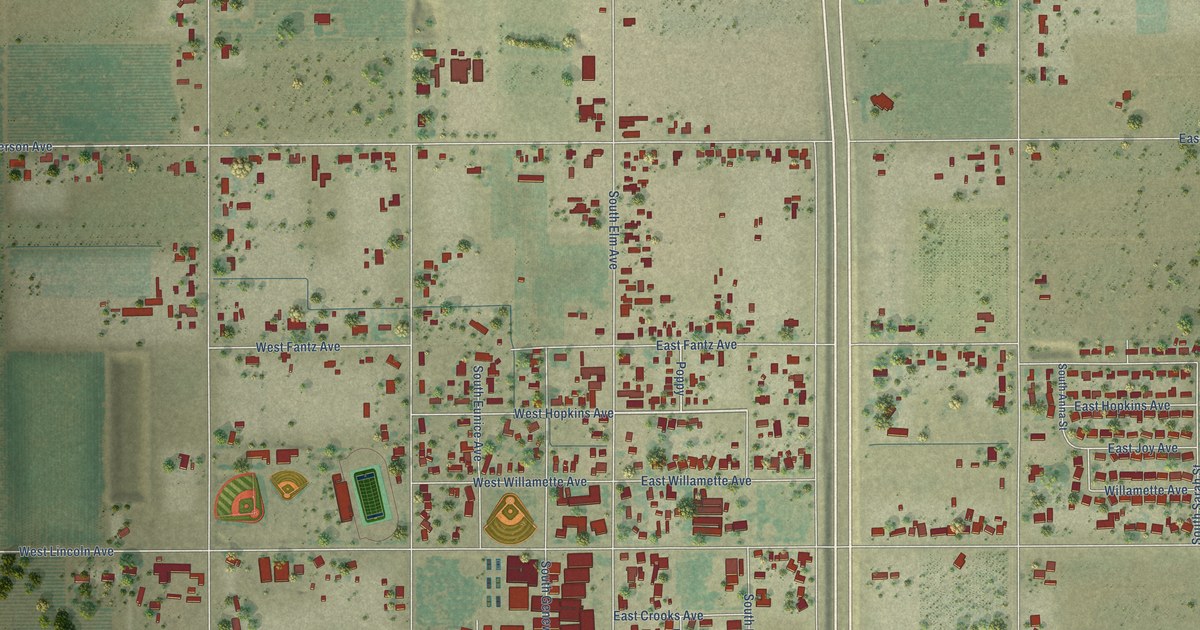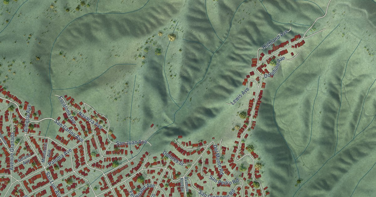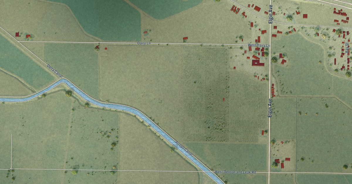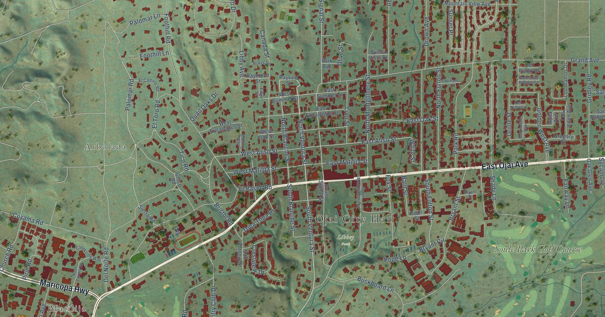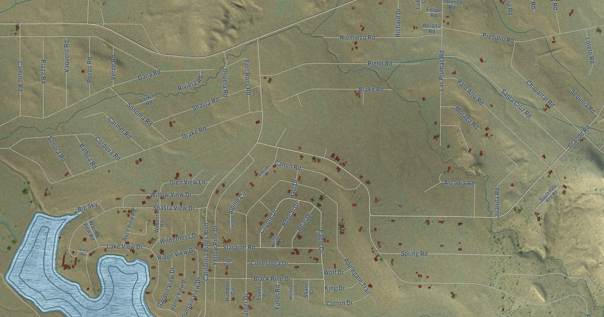
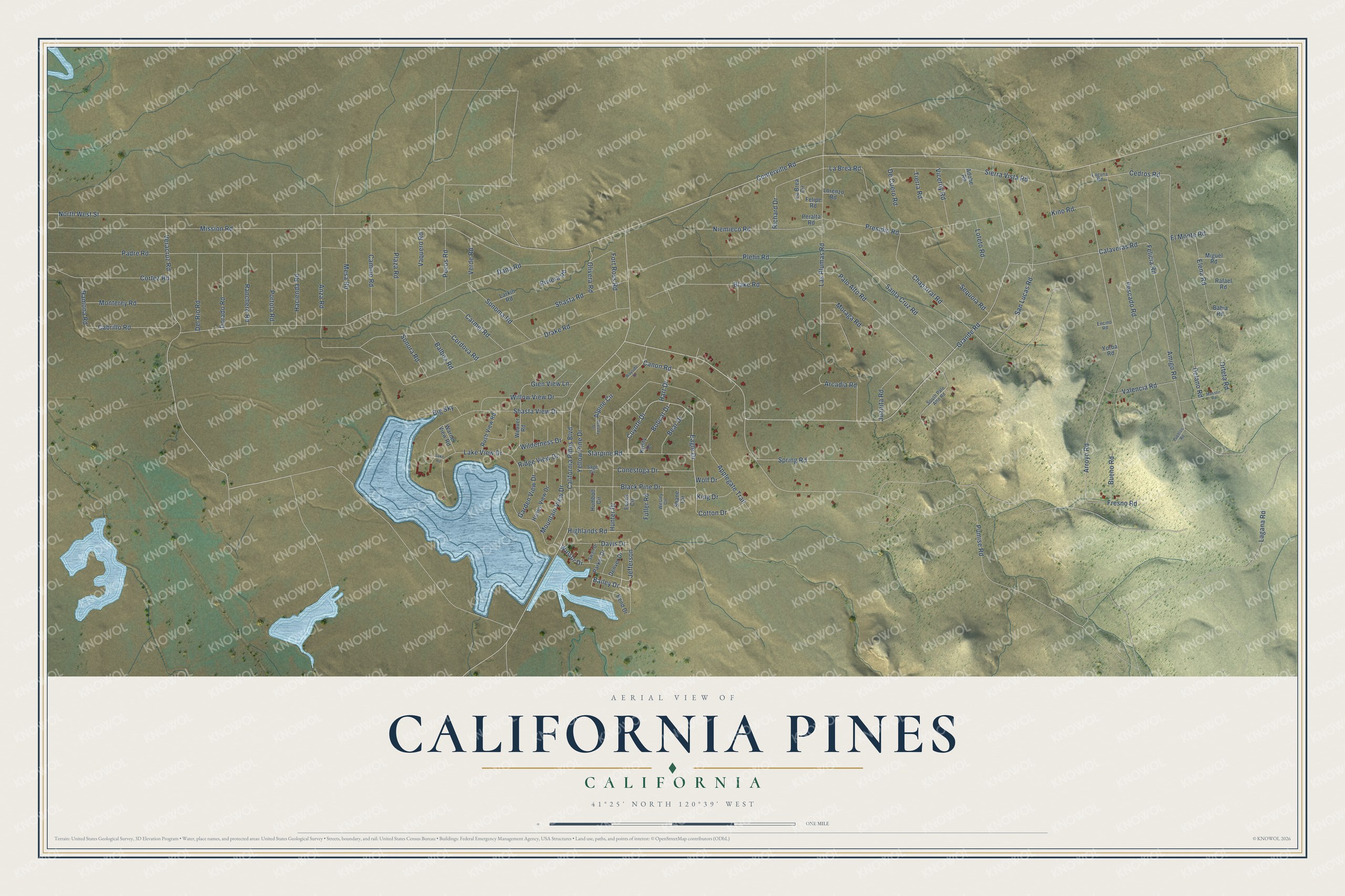
This beautifully detailed map of California Pines, California was created in 2026 using aerial imagery combined with modern topographical, census, street and landmark data. It’s a one-of-a-kind view of California Pines that combines accurate data with a vintage aesthetic. The map shows every building in its true location, many of the roads carry their names, and the shaded topographic relief shows the shape of the land.
Explore an aerial view of California Pines, California
On the map you’ll find Jefferson, along with Bailey Drive, Coyote Drive, Eagle Drive, Cedros Road, Grande Road, Arroyo Road, Felicia Road, Centerville Road, North West Street, Mission Road, California Pines Boulevard, and more. California Pines sits about 8 miles southwest of Alturas, 9 miles southwest of Daphnedale Park and 12 miles east of Canby. If you look closely you can even find your house accurately drawn in its correct location. Zoom in on the preview to look for yours.
Take a closer look at the California Pines map
Names on this map
These names are printed on this map.
Streets and roads: Bailey Drive, Coyote Drive, Eagle Drive, Jefferson, Cedros Road, Grande Road, Arroyo Road, Felicia Road, Centerville Road, North West Street, Mission Road, California Pines Boulevard.
More street names, A to Z
Adobe Road, Alpine Circle, Amigo Road, Anza Road, Applegate Trail, Arcadia Road, Bahia Road, Balboa Road, Bear Drive, Beesley Drive, Bend Drive, Big Sky, Black Pine Drive, Blake Road, Bobcat Drive, Bueno Road, Cabrillo Road, Calaveras Road, Camino Road, Canon Road, Carmel Road, Chaparral Road, Conestoga Drive, Cordova Road, Cortez Road, Cotton Drive, Dana Road, Davis Drive, De Cuero Road, Delano Road, Del Rio Road, Denver Drive, Dorado Road, Drake Road, Elena Road, El Monte Road, Encino Road, Evans Circle, Felipe Road, Fort Ross Road, Fresno Road, Fuller Road, Garden View Drive, Glen View Lane, Hacienda Road, Hart Drive, Highlands Road, Honey View Drive, Humbolt Circle, Hunter Drive, Juanita Road, King Drive, Kino Road, Kristy Drive, La Brea Circle, La Brea Road, Lagana Road, Laguna Road, Lake Road, Lake View Drive, Larkin Road, Las Plumas Road, Lorenzo Road, Loteto Road, Masson Road, Mesa Road, Miguel Road, Monterey Road, Moraga Road, Mountain View Drive, Niemieco Road, Olivera Road, Orteta Road, Padre Road, Palo Alto Road, Parker Drive, Pecos Road, Peralta Road, Pescado Road, Plaza Road, Plehn Road, Portola Road, Presidio Road, Pueblos Road, Pumise Road, Rafael Road, Ramona Road, Ranchero Road, Richard Drive, Ridge View Drive, Riviera Road, Rush View Road, Sage Circle, San Lucas Road, Santa Cruz Road, Sequoia Road, Shane Circle, Shasta Road, Shasta View Drive, Sierra Vista Road, Sonoma Road, Sonora Road, South Palo Alto Road, Spring Road, Starpine Road, Swail Drive, Tierra Road, Valencia Road, Vaquero Road, Veracruz Road, Verde Road, Viceroy Road, Warner View Road, Wayside Drive, Weaver Road, Wesley Circle, Wilderness Drive, Willow View Drive, Winsor Drive, Wolf Drive, Yellow Pine Drive, Yorba Road.
See it on a wall
The California Pines map as a framed print. Swipe for more.


This beautifully detailed map of California Pines makes an attractive addition to your office, library, or den, and it can even be used to teach children the geography and history of the area. It also makes a great gift for someone who left California Pines and still calls it home. When you’re done exploring, click here to get your copy of the California Pines map.