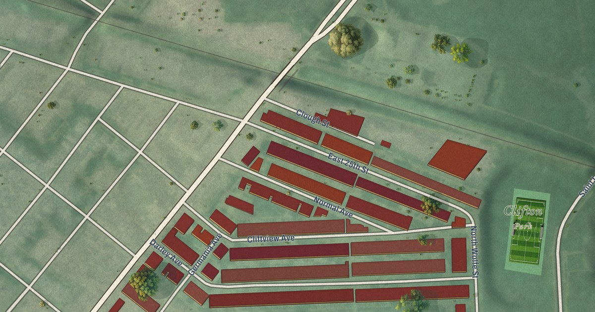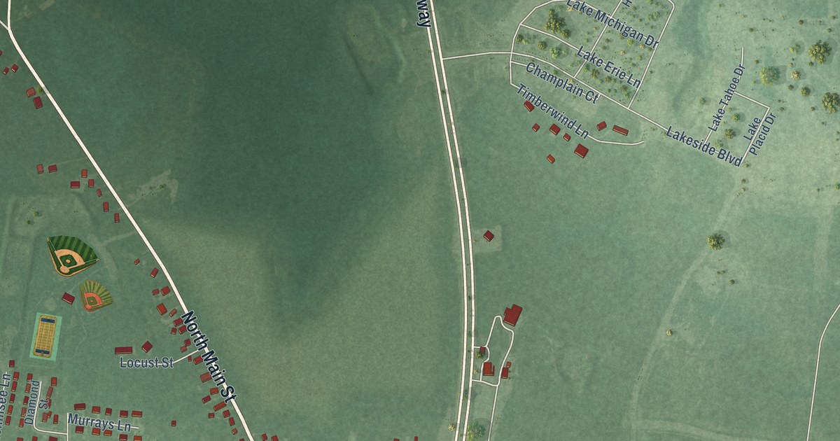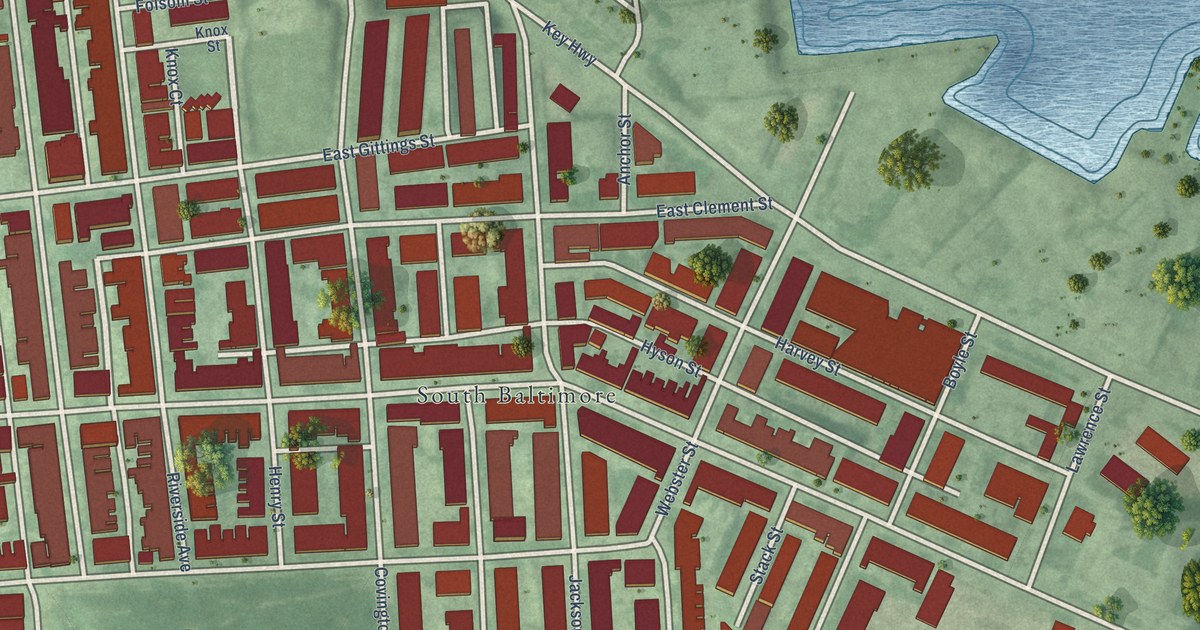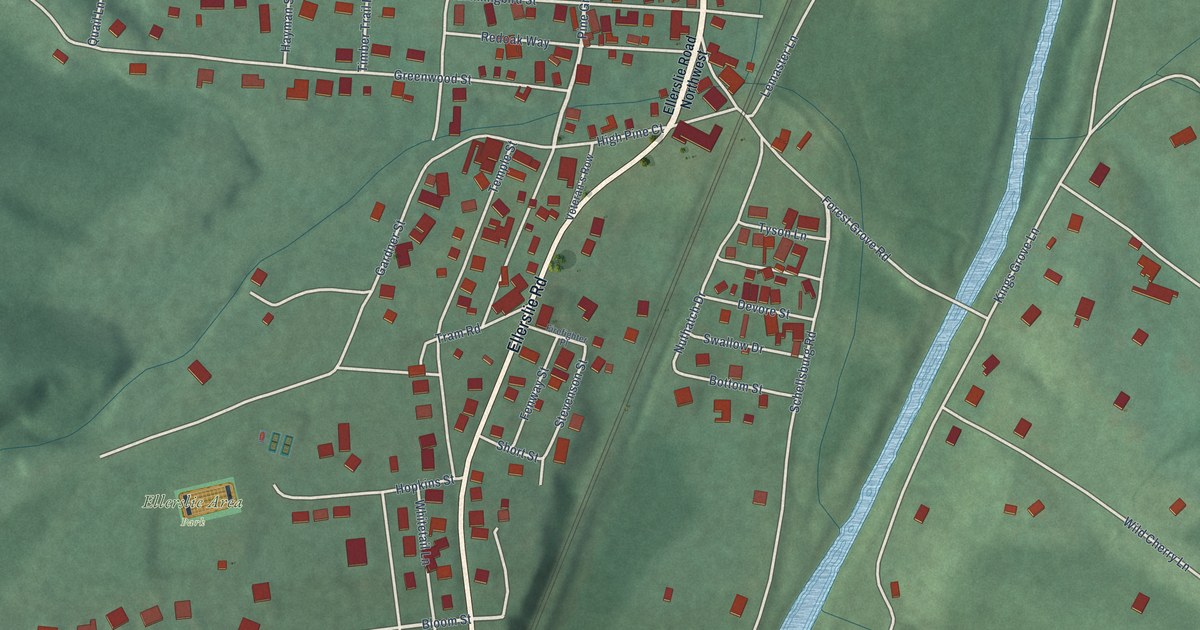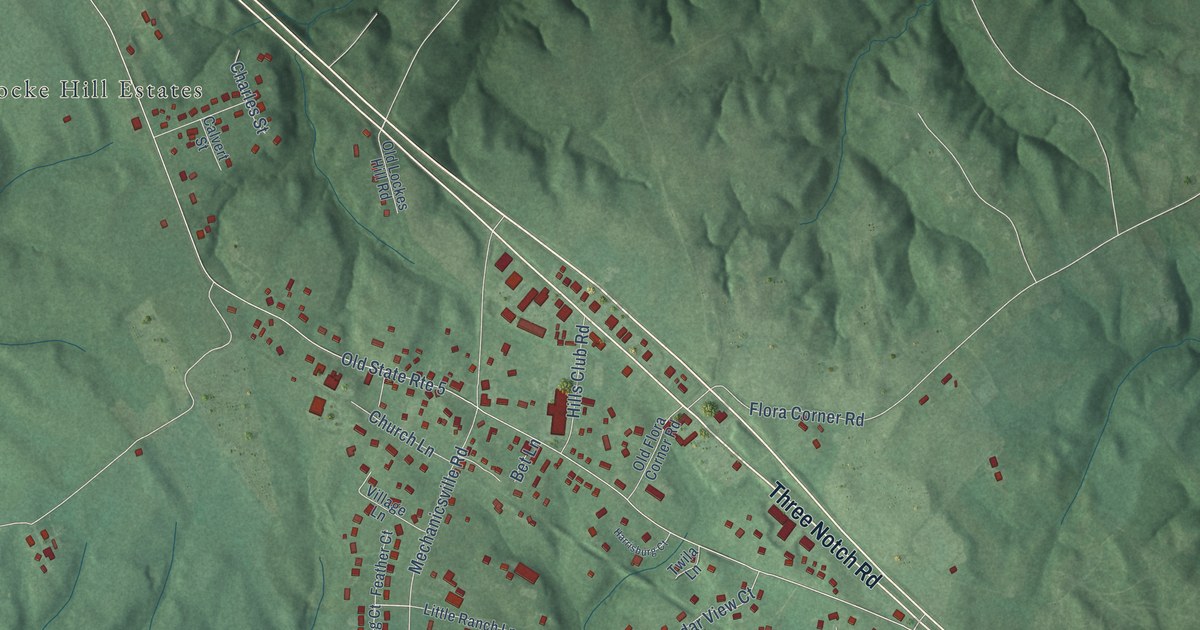
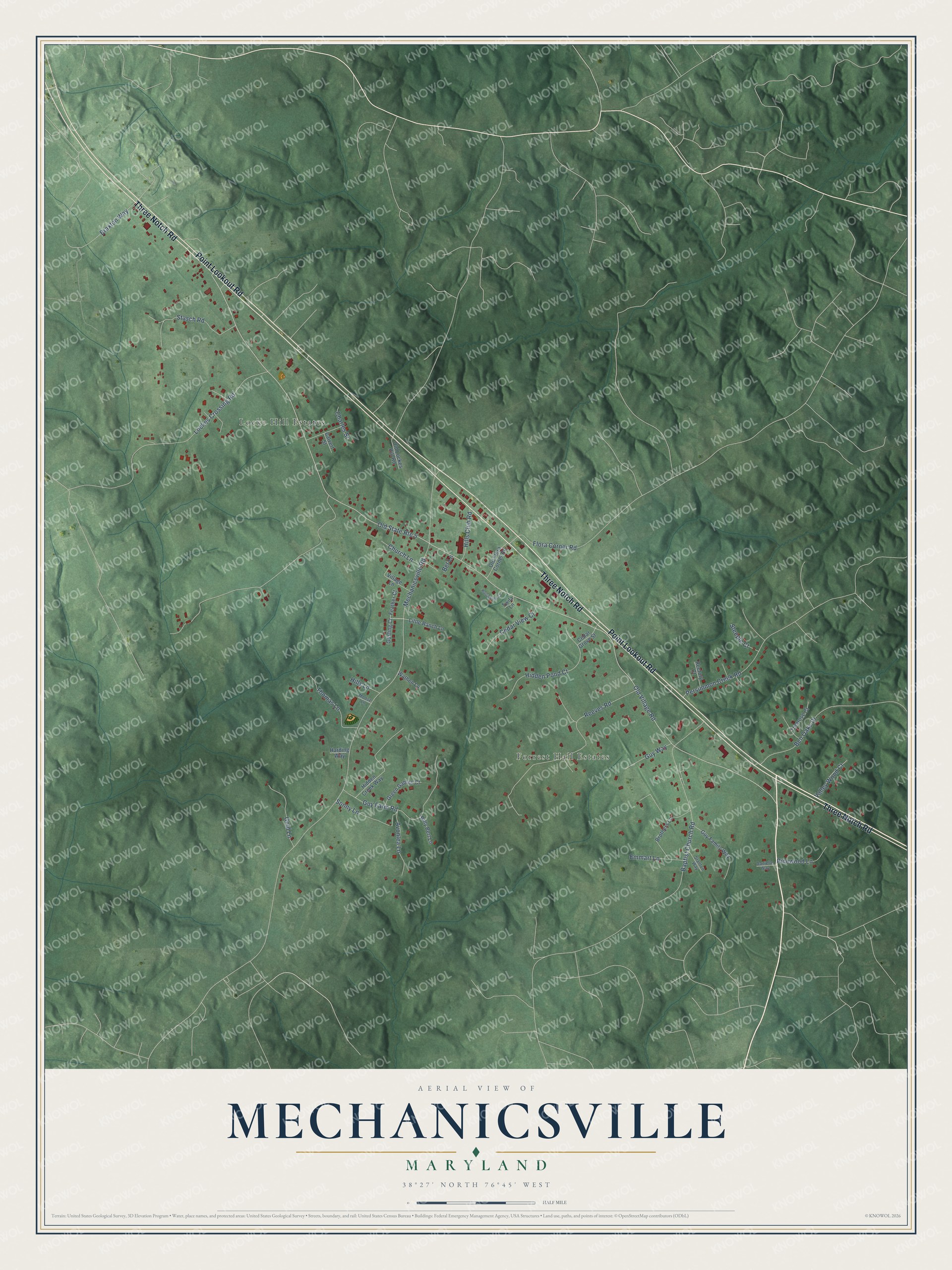
This beautifully detailed map of Mechanicsville, Maryland was created in 2026 using aerial imagery combined with modern topographical, census, street and landmark data. It's a modern aerial view of Mechanicsville in St. Mary's County, Maryland, that combines modern data with a vintage aesthetic. The roads feature printed names, and if you look closely you can find your exact house accurately shown in its correct location.
Explore an aerial view of Mechanicsville, Maryland
On this map you'll find Locke Hill Estates, Forrest Hall Estates, Point Lookout Road, Three Notch Road, Old Village Road, Mechanicsville Road, Baptist Church Road, Lockes Crossing Road, Reeves Road, Guy Farm Road, Ben Oaks Drive, Hidden Pond Court, and more. Each red shape is a building, so zoom in on the preview and look for yours.
Mechanicsville is a community in St. Mary's County. The Census Bureau counted 1,673 people here in 2020. Mechanicsville sits about 3 miles southeast of Charlotte Hall, 5 miles southwest of Golden Beach and 7 miles southwest of Benedict. The map prints the town name in its title panel, with the coordinates below it.
Take a closer look at the Mechanicsville map
Names on this map
These names are printed on this map.
Places: Locke Hill Estates and Forrest Hall Estates.
Streets and roads: Point Lookout Road, Three Notch Road, Old Village Road, Old State Route 5, Mechanicsville Road, Baptist Church Road, Lockes Crossing Road, Reeves Road, Guy Farm Road, Ben Oaks Drive, Hidden Pond Court, Stasch Road.
More street names, A to Z
Avonlea Lane, Bet Lane, Billy Bert Lane, Braxton Way, Brothers Lane, Calvert Street, Cedar Grove Street, Cedar View Court, Charles Street, Church Lane, Danielle Way, Emmart Lane, Feather Court, Flora Corner Road, Gold Lane, Gosling Court, Green Gables Court, Guy Family Way, Guy Way, Harding Way, Harrisburg Court, Hidden Creek Way, Hills Club Road, Hills Lane, Little Ranch Lane, Moose Lane, Old Flora Corner Road, Old Lockes Hill Road, Persimmon Creek Road, Pinewood Lane, Rectory Court, Sonny Lane, Stanton Way, Steeple Court, Thomas Lane, Tomrose Court, Twila Lane, Valley Wood Court, Village Lane, Wathen Lane.
See it on a wall
The Mechanicsville map as a framed print. Swipe for more.


Created by KNOWOL in 2026. The buildings are small red shapes, the roads carry their printed names, and shaded relief shows the shape of the land. The title panel reads "AERIAL VIEW OF MECHANICSVILLE, MARYLAND" with 38°27' NORTH 76°45' WEST.
It looks right in a kitchen, an office or a den, and it's a gift for anyone who grew up in Mechanicsville or moved away. Open the preview and find your street. See sizes and frames for the Mechanicsville map.