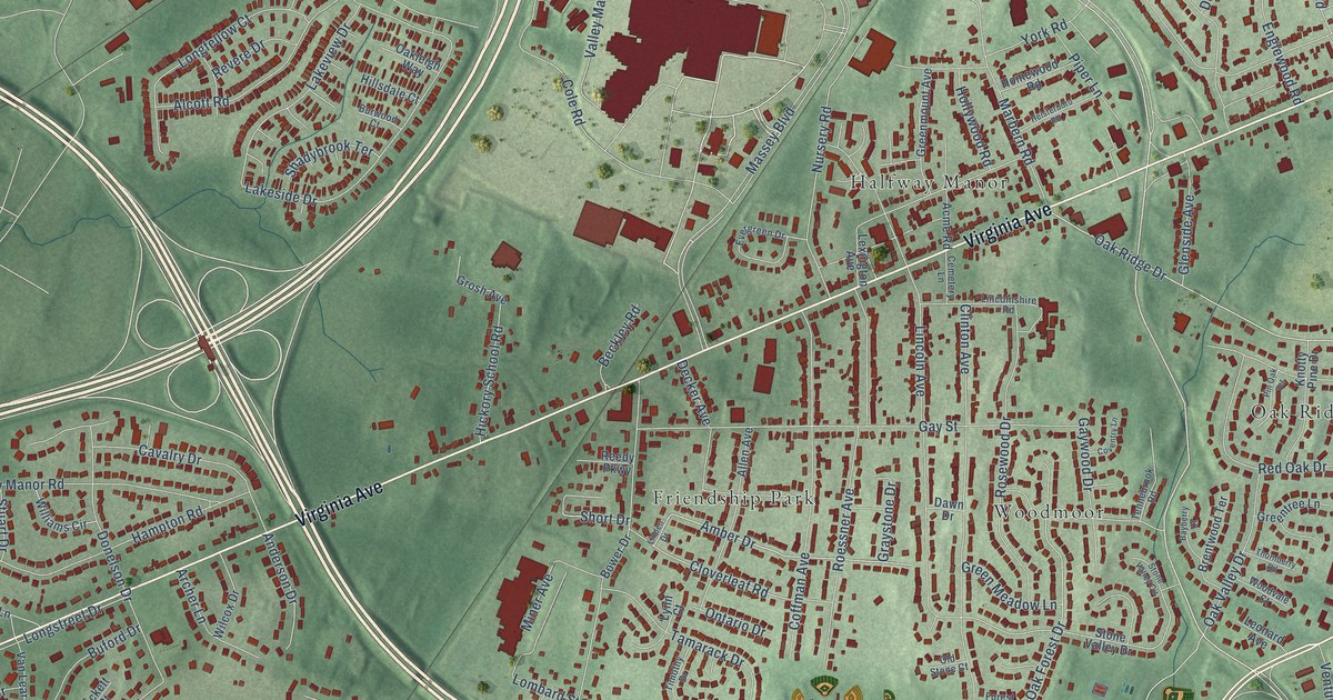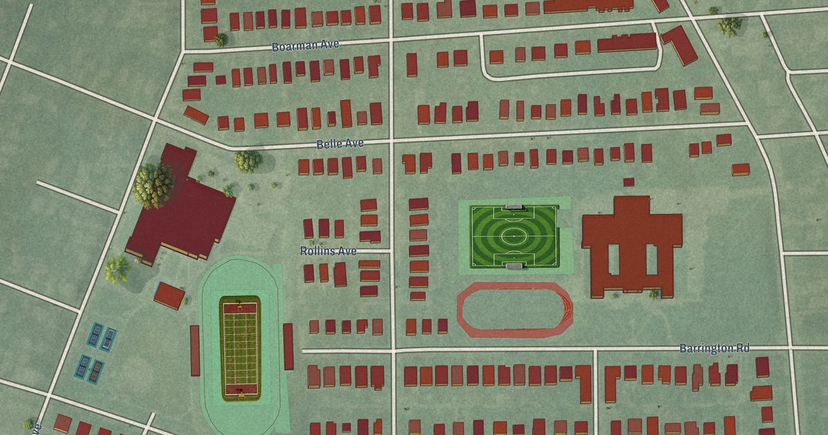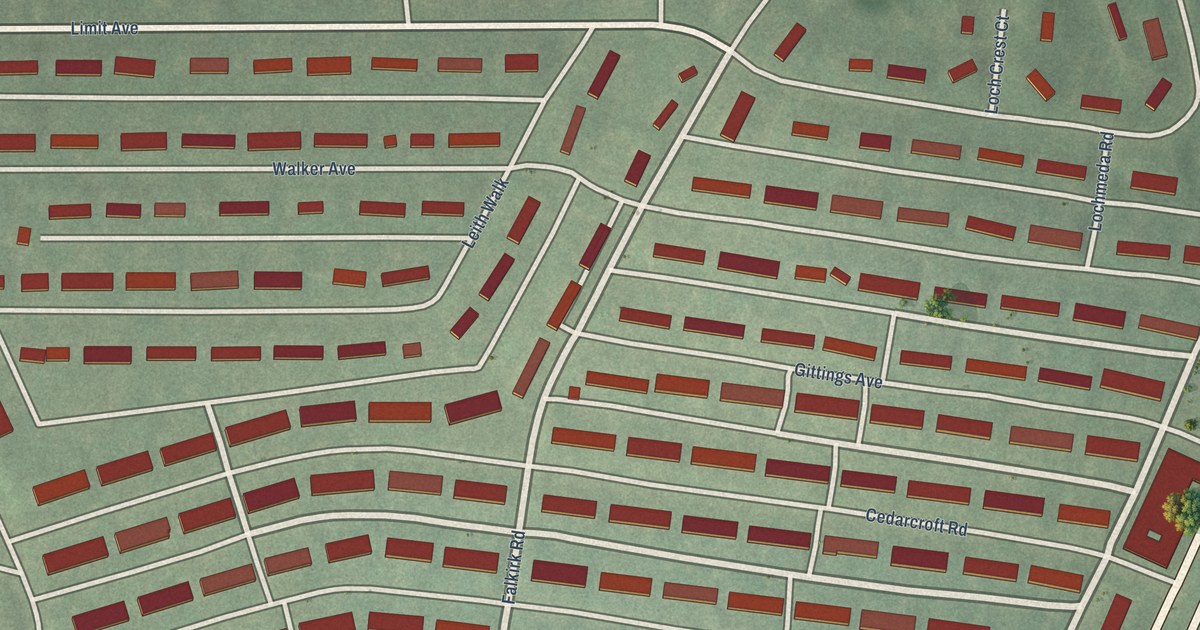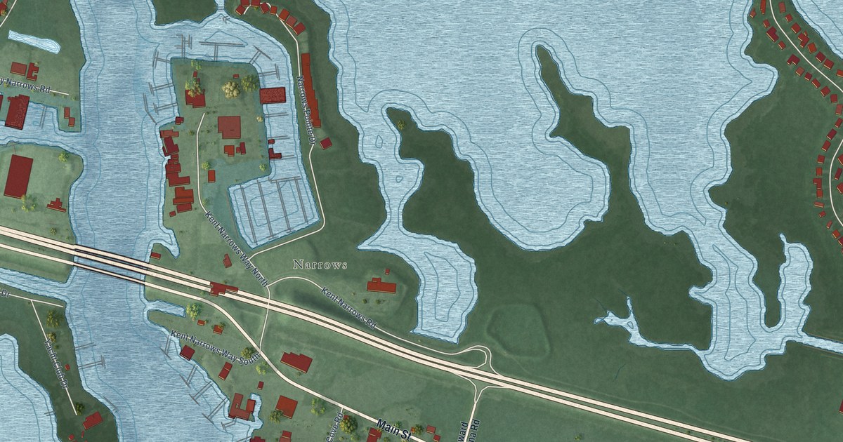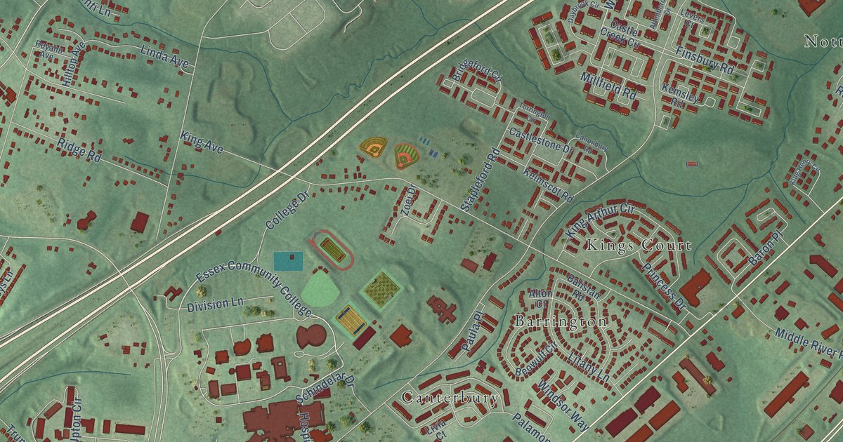
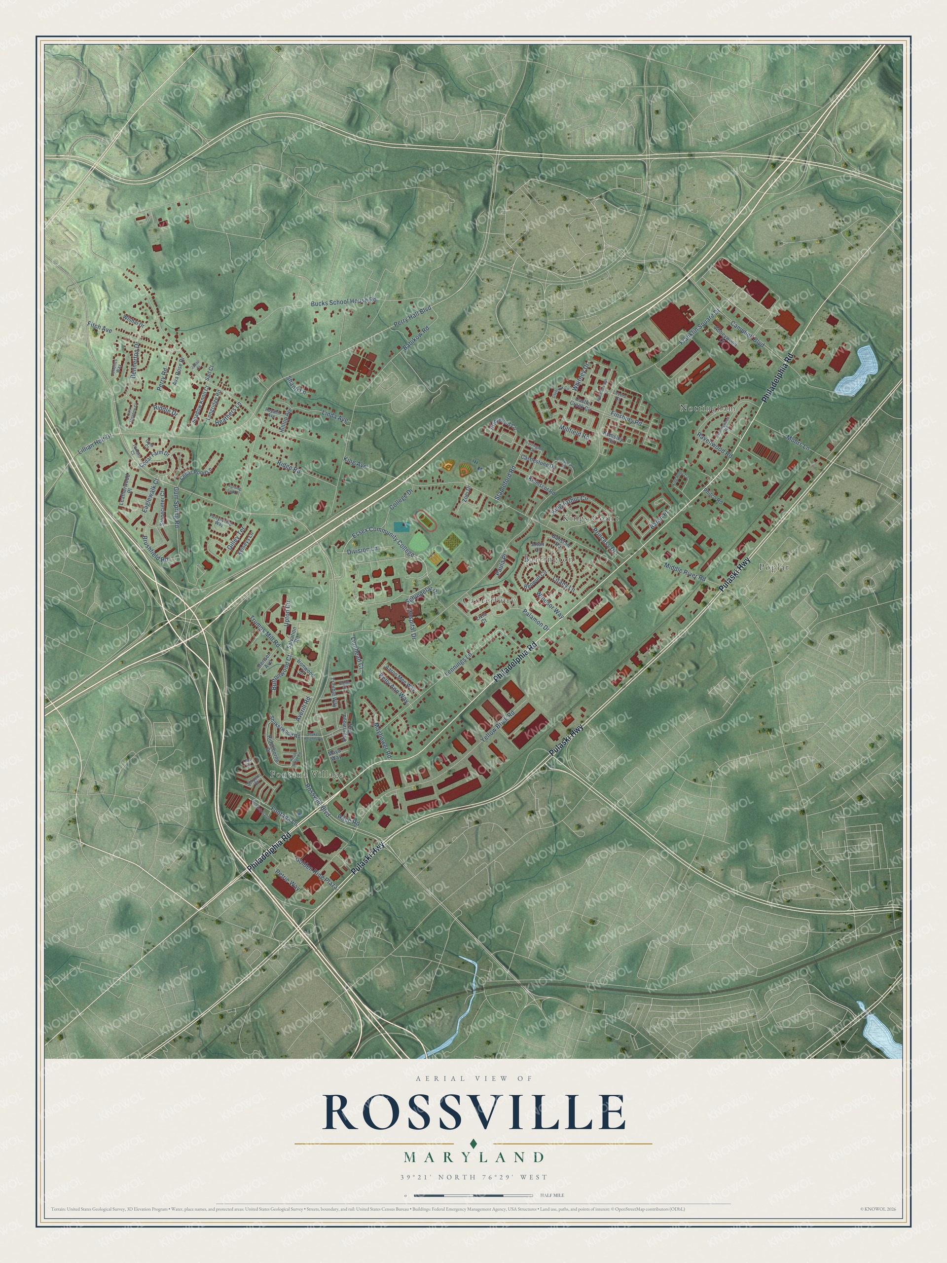
This beautifully detailed map of Rossville, Maryland was created in 2026 using aerial imagery combined with modern topographical, census, street and landmark data. It's a modern aerial view of Rossville in Baltimore County, Maryland, that combines modern data with a vintage aesthetic. The roads feature printed names, and if you look closely you can find your exact house accurately shown in its correct location.
Explore an aerial view of Rossville, Maryland
On this map you'll find Canterbury, Nottingham, Fontana Village, Poplar, Kings Court, Barrington, Philadelphia Road, Pulaski Highway, Essex Community College, Whitney Drive, Perry Hall Boulevard, Rossville Boulevard, and more. Each red shape is a building, so zoom in on the preview and look for yours.
Rossville has a story worth telling. Buck's School House on Philadelphia Road was built about 1859 on a lot given by Benjamin Buck, whose father had run an inn called the Half-Way House. The school, also called Poplar School No. 6 for the nearby Poplar rail station, was sold in 1937 and became a home. In 1990 Rudolph F. Fischer, who had gone to the school in 1912, drew its rooms and cupboards from memory. That's from the Maryland Historical Trust.
Rossville is a community in Baltimore County. The Census Bureau counted 16,029 people here in 2020.
Take a closer look at the Rossville map
Names on this map
These names are printed on this map.
Places: Canterbury, Nottingham, Fontana Village, Poplar, Kings Court and Barrington.
Streets and roads: Philadelphia Road, Pulaski Highway, Essex Community College, Whitney Drive, Perry Hall Boulevard, Rossville Boulevard, Franklin Square Drive, Ridge Road, Bucks School House Road, King Avenue, Campbell Boulevard, Yellow Brick Road.
More street names, A to Z
Aaron Mee Way, Abbeywood Court, Alton Court, Aspinwood Way, Attenborough Drive, Ava Rose Drive, Averill Road, Babikow Road, Balistan Road, Baron Place, Bennerton Drive, Bensel Avenue, Beowulf Circle, Bohn Court, Bridgeford Circle, Brushfield Road, Buttonwood Court, Canonbury Road, Castle Creek Circle, Castlestone Drive, Cedar Farm Drive, Cedar Pond Lane, College Drive, Daybrook Circle, Division Lane, Eaglewalk Court, Finsbury Road, Fitch Avenue, Fontana Lane, Gilley Terrace, Gina Court, Golden Ring Plaza, Gum Spring Road, Heathers Lane, Hilltop Avenue, Hospital Drive, Ironwood Court, Jabaji Court, Jenelles Way, Kelly Ann Way, Kelmscot Road, Kelseys Lane, Kemsley Road, King Arthur Circle, King Henry Circle, Lark Meadow Court, Leatherwood Place, Lennings Lane, Levers Court, Libra Court, Lillian Holt Drive, Linda Avenue, Lionhead Court, Litany Lane, Livia Court, Longridge Road, Maya Way, Mayflower Road, Middle River Road, Millfield Road, Mohrs Lane, Nottingwood Road, Palamon Drive, Paula Place, Perry Road, Perryspring Way, Petrie Way, Philadelphia Court, Philco Road, Princess Drive, Race Road, Ravenwood Road, Riddle Drive, Ridgeborne Drive, Ross Ridge Road, Royahn Avenue, Saif Court, Salvation Road, Schindelar Drive, Serpens Court, Shadow Knoll Court, Shaker Heights Road, Shakerwood Road, Shanti Lane, Stapleford Road, Stonecutter Court, Tamsin Court, Torrington Circle, Trimble Way, Trumps Mill Road, Turning Leaf Court, Upton Circle, Windsor Way, Wishal Drive, Zoei Drive.
See it on a wall
The Rossville map as a framed print. Swipe for more.


Created by KNOWOL in 2026. The buildings are small red shapes, the roads carry their printed names, and shaded relief shows the shape of the land. The title panel reads "AERIAL VIEW OF ROSSVILLE, MARYLAND" with 39°21' NORTH 76°29' WEST.
It looks right in a kitchen, an office or a den, and it's a gift for anyone who grew up in Rossville or moved away. Open the preview and find your street. See sizes and frames for the Rossville map.