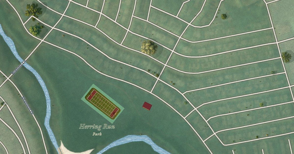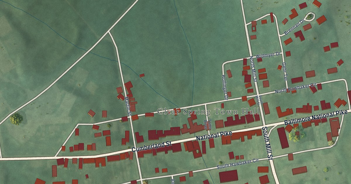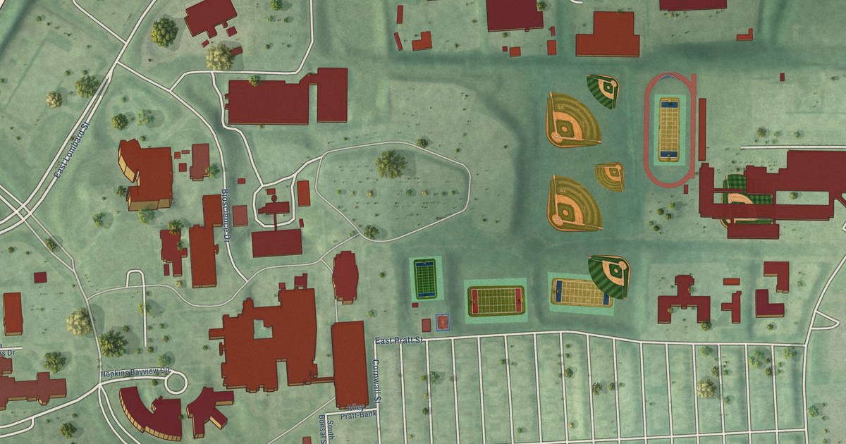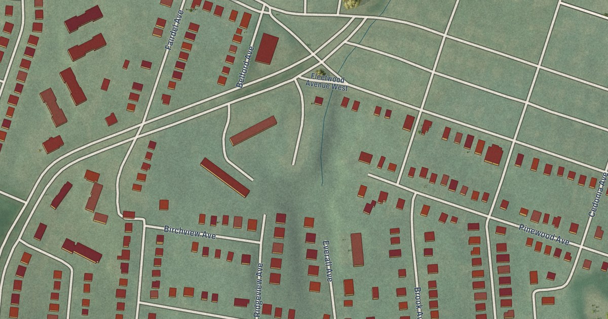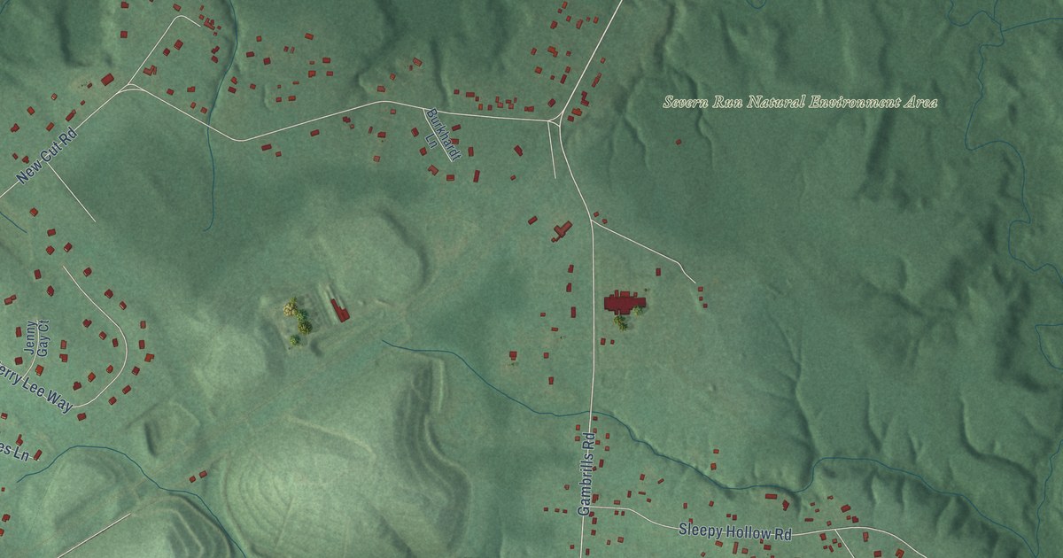
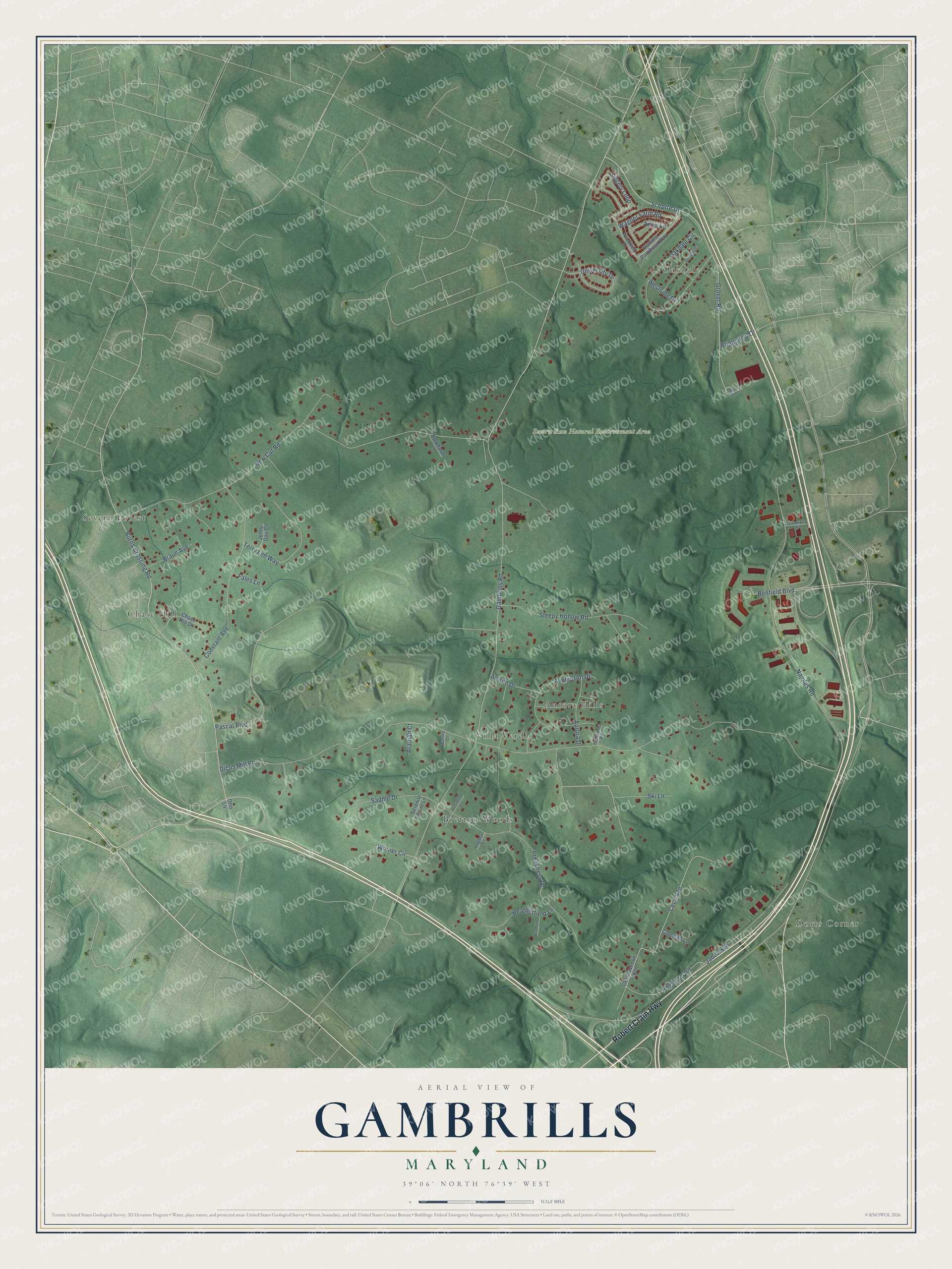
This beautifully detailed map of Gambrills, Maryland was created in 2026 using aerial imagery combined with modern topographical, census, street and landmark data. It's a modern aerial view of Gambrills in Anne Arundel County, Maryland, that combines modern data with a vintage aesthetic. The roads feature printed names, and if you look closely you can find your exact house accurately shown in its correct location.
Explore an aerial view of Gambrills, Maryland
On this map you'll find Severn Run Natural Environment Area, Chase Hill, Dorrs Corner, Oakdale, Bretton Woods, Aurora Hills, Severn Forest, Villa Verdi, Robert Crain Highway, New Cut Road, Burns Crossing Road, Ski Lane, and more. Each red shape is a building, so zoom in on the preview and look for yours.
Gambrills is a community in Anne Arundel County. The Census Bureau counted 3,034 people here in 2020. Gambrills sits about 3 miles northeast of Odenton, 3 miles northwest of Arden on the Severn and 4 miles southeast of Severn. The map prints the town name in its title panel, with the coordinates below it.
Take a closer look at the Gambrills map
Names on this map
These names are printed on this map.
Places: Severn Run Natural Environment Area, Chase Hill, Dorrs Corner, Oakdale, Bretton Woods, Aurora Hills, Severn Forest and Villa Verdi.
Streets and roads: Robert Crain Highway, New Cut Road, Burns Crossing Road, Ski Lane, Grover Road, Sceptre Drive, Ridgely Loop, Benfield Boulevard, Gambrills Road, Dicus Mill Road, Najoles Road, Constant Avenue.
More street names, A to Z
Anna Lane, Antrim Drive, Arabian Court, Ashburton Drive, Aurora Drive, Braun Avenue, Brightview Drive, Burkhardt Lane, Cecil Avenue, Cecil Avenue North, Chase Hill Drive, Coleman Lane, Daniels Purchase Way, Dichsmill Road, Eachann Lane, Fales Lane, Heatherfield Lane, Hog Farm Road, Jabez Run, Jenny Gay Court, Mustang Court, Oakdale Circle, Otto Lane, Pascal Boulevard, Pegasus Court, Percheron Court, Preakness Drive, Saddle Drive, Serendipity Drive, Serenity Point Lane, Severn Run Court, Sleepy Hollow Road, Springdale Drive, Terry Lee Way, University Drive, Wagner Farm Road, Westside Drive, Wheatfield Drive, Winner Circle.
See it on a wall
The Gambrills map as a framed print. Swipe for more.


Created by KNOWOL in 2026. The buildings are small red shapes, the roads carry their printed names, and shaded relief shows the shape of the land. The title panel reads "AERIAL VIEW OF GAMBRILLS, MARYLAND" with 39°06' NORTH 76°39' WEST.
It suits a den, a classroom or a front hall, and it makes a gift for anyone with Gambrills roots. Open the preview and find the block you know. See sizes and frames for the Gambrills map.