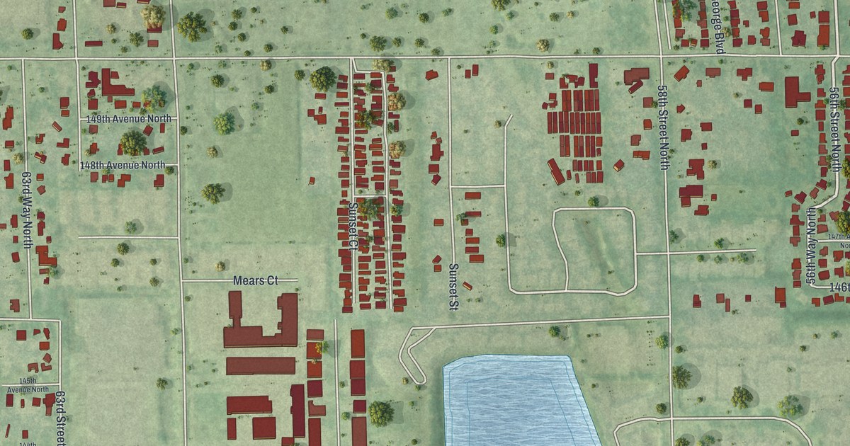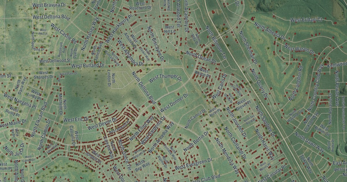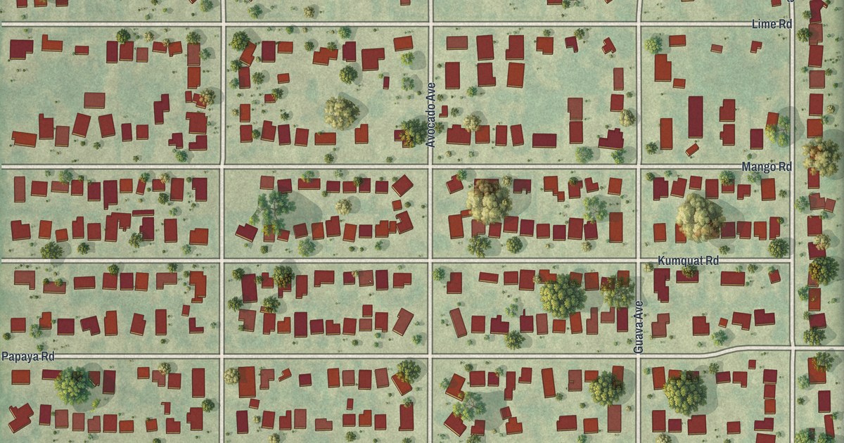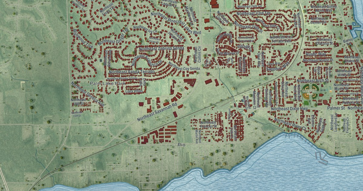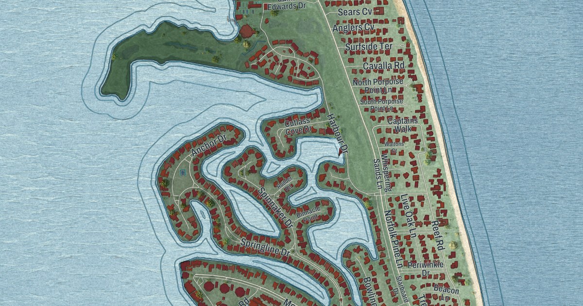
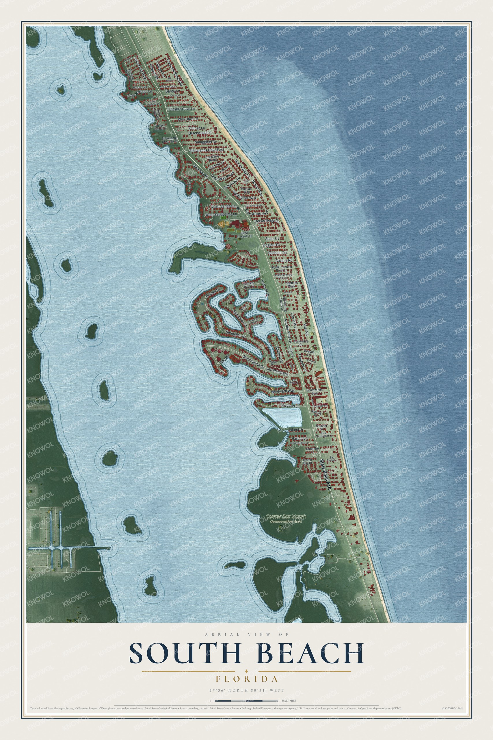
This beautifully detailed map of South Beach, Florida was created in 2026 using aerial imagery combined with modern topographical, census, street and landmark data. It’s a one-of-a-kind view of South Beach that combines accurate data with a vintage aesthetic. The map shows every building in its true location, many of the roads carry their names, and the shaded topographic relief shows the shape of the land.
Explore an aerial view of South Beach, Florida
On the map you’ll find Oyster Bar Marsh Conservation Area and West Sandpoint Place, along with State Road A1A, Las Romlas Drive, Reef Road, West Sandpointe Lane, Norfolk Pine Lane, Cypress Lane, Springline Drive, Riverway Drive, Mooringline Drive, Harbour Drive, and more. South Beach sits about 3 miles east of Florida Ridge, 4 miles northeast of Lakewood Park and 6 miles southeast of Vero Beach South. If you look closely you can even find your house accurately drawn in its correct location. Zoom in on the preview to look for yours.
Take a closer look at the South Beach map
Names on this map
These names are printed on this map.
Places: Oyster Bar Marsh Conservation Area.
Streets and roads: Las Romlas Drive, Reef Road, West Sandpoint Place, West Sandpointe Lane, Norfolk Pine Lane, Cypress Lane, Springline Drive, Riverway Drive, Mooringline Drive, Harbour Drive, Windward Way, Pelican Lane.
More street names, A to Z
Anchor Drive, Anglers Cv, Atlantis Drive, Bay Road, Beacon Lane, Binnacle Point, Bounty Boulevard, Bowline Drive, Captains Walk, Cavalla Road, Cedar Lane, Clipper Road, Coral Way North, Coral Way South, Corona Lane, Crescent Beach Road, Cutlass Cove Drive, Dunmore Lane, East Sandpointe Lane, East Sandpoint Lane, Egret Lane, Gracewood Lane, Harbor Lane, Island Drive, Lantern Lane, Leeward Lane, Little Harbour Drive, Little Harbour Lane, Live Oak Lane, North Porpoise Point Lane, Ocean Ridge Circle, Ocean Way, Ocean Way Lane, Osprey Court, Oyster Bay Drive, Pelican Way, Periwinkle Drive, Regatta Drive, River Ridge Drive, Rudder Road, Saint Christopher Lane, Saint Edwards Drive, Sand Dollar Way, Sandy Lane, Seagrove Drive, Sea Hawk Lane, Sea Mist Court, Sears Cv, Seaside Street, Sea Turtle Lane, Seminole Shores Lane, Shorelands Drive East, Shorelands Drive North, Smugglers Cv, South Porpoise Point Lane, Southwinds Boulevard, Spinnaker Drive, Spyglass Lane, Starboard Drive, Sunset Point Lane, Surfside Terrace, Tabago Terrace, Treasure Cove Lane, Treasure Lane, Via Fuentes, Waltons Court, West Southwinds Boulevard, Whispering Sands Lane, White Heron Lane, Winding River Road, Windsong Way, Wyn Cove Drive.
See it on a wall
The South Beach map as a framed print. Swipe for more.


This beautifully detailed map of South Beach makes an attractive addition to your office, library, or den, and it can even be used to teach children the geography and history of the area. It also makes a great gift for someone who left South Beach and still calls it home. When you’re done exploring, click here to get your copy of the South Beach map.