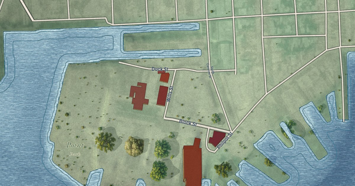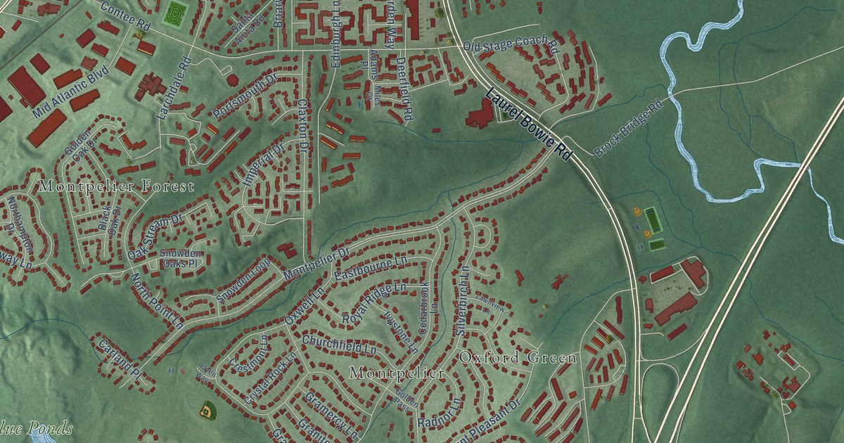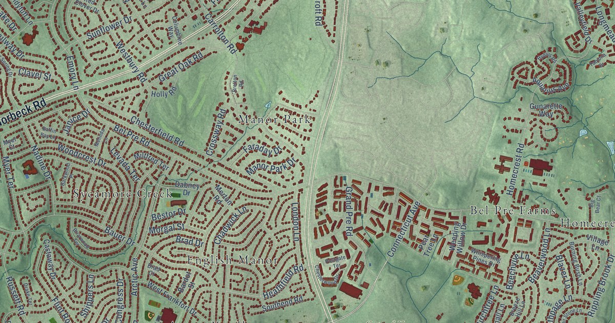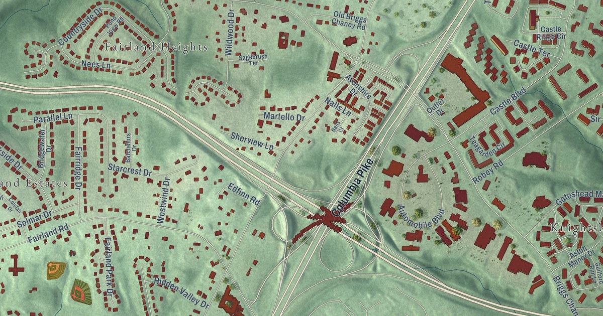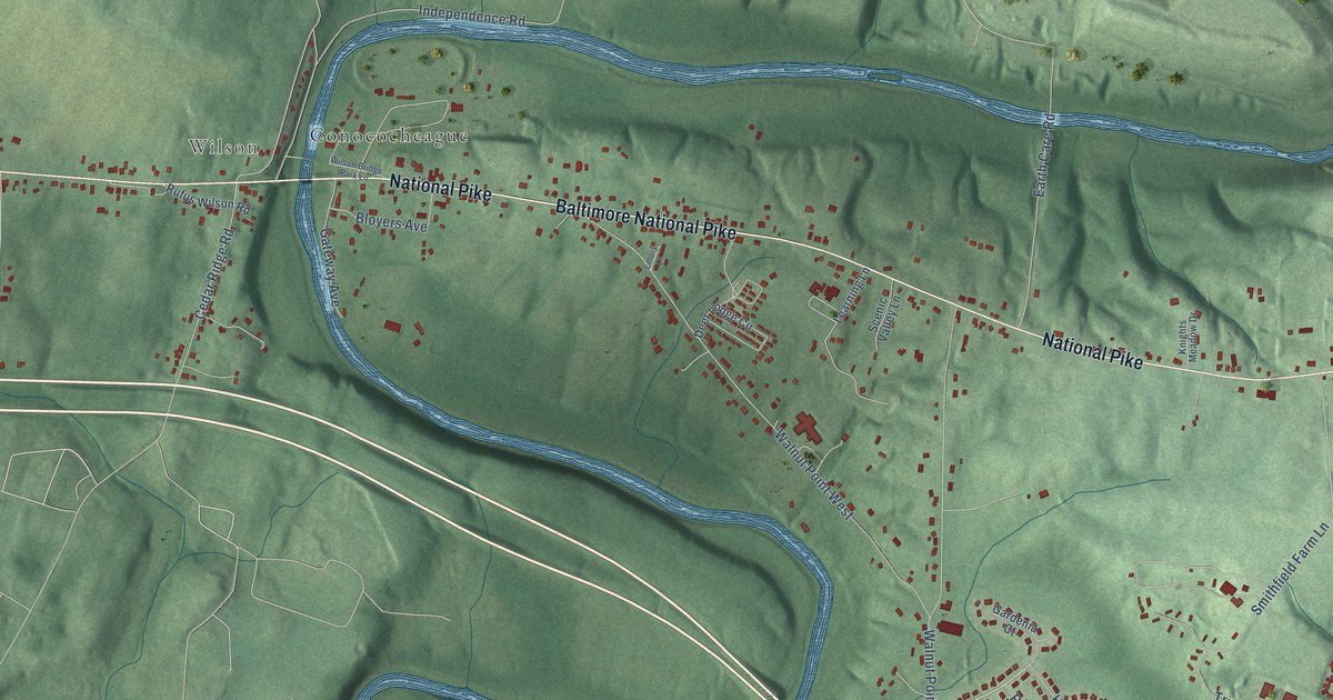
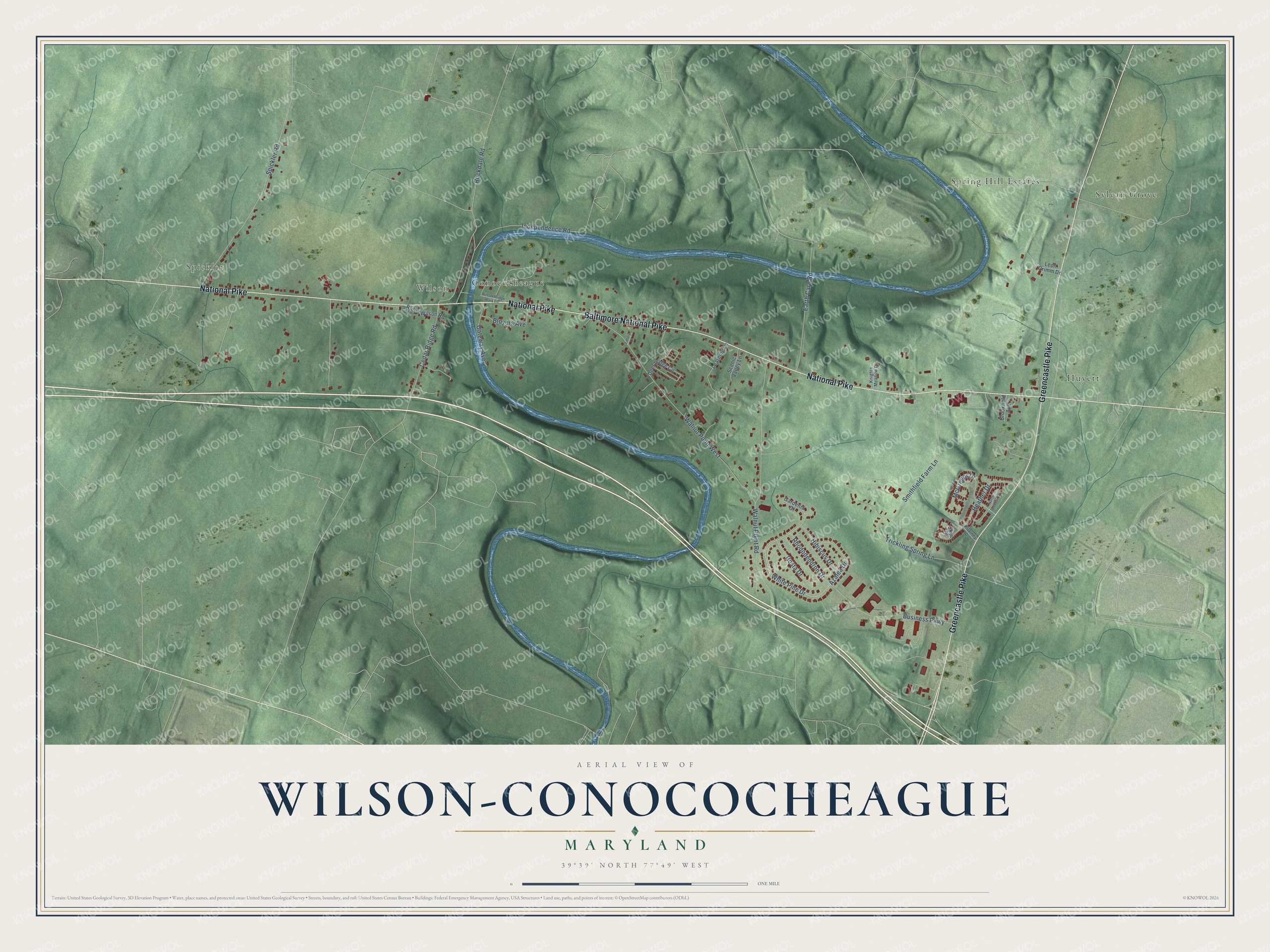
Wilson-Conococheague is a community of 2,262 in Washington County, Maryland. This beautifully detailed map of Wilson-Conococheague, Maryland was created in 2026 using aerial imagery combined with modern topographical, census, street and landmark data. It's a modern aerial view of Wilson-Conococheague in Washington County, Maryland, that combines modern data with a vintage aesthetic. The roads feature printed names, and if you look closely you can find your exact house accurately shown in its correct location.
Explore an aerial view of Wilson-Conococheague, Maryland
On this map you'll find Spickler, Wilson, Sylvan Grove, Huyett, Conococheague, Spring Hill Estates, Greencastle Pike, Baltimore National Pike, National Pike, White Pine Drive, Walnut Point Road, Walnut Point West, and more. Each red shape is a building, so zoom in on the preview and look for yours.
Wilson-Conococheague has a story worth telling. Rufus Wilson came to Washington County from Maryland's Eastern Shore in 1847. After he married Elizabeth Brewer in 1849, he started a village called Conococheague on the National Road, building a store and a stone house about 1850, and he served as its postmaster from 1858. The brick store and post office he built about 1880 still had its old display cabinets and mail boxes when it was studied in the 1990s. That's from the Maryland Historical Trust.
Take a closer look at the Wilson-Conococheague map
Names on this map
These names are printed on this map.
Places: Spickler, Wilson, Sylvan Grove, Huyett, Conococheague and Spring Hill Estates.
Streets and roads: Greencastle Pike, Baltimore National Pike, National Pike, White Pine Drive, Walnut Point Road, Walnut Point West, Rockdale Road, Spickler Road, Independence Road, Smithfield Farm Lane, Business Parkway, Heather Drive.
More street names, A to Z
Azalea Drive, Bloyers Avenue, Brookfield Avenue, Cedar Ridge Road, Deer Lodge Circle, Earth Care Road, Emory Lane, Gardenia Court, Gateway Avenue, Hibiscus Drive, Hosta Drive, Kilarney Drive, Knights Meadow Drive, Learning Lane, Leon Grimm Drive, McGregor Drive, North Scottish Court, Rhododendron Drive, Rufus Wilson Road, Scenic Valley Lane, Skye Court, Trickling Spring Lane, Wilson Bridge Park Lane.
See it on a wall
The Wilson-Conococheague map as a framed print. Swipe for more.


Created by KNOWOL in 2026. The buildings are small red shapes, the roads carry their printed names, and shaded relief shows the shape of the land. The title panel reads "AERIAL VIEW OF WILSON-CONOCOCHEAGUE, MARYLAND" with 39°39' NORTH 77°49' WEST.
It looks right in a kitchen, an office or a den, and it's a gift for anyone who grew up in Wilson-Conococheague or moved away. Open the preview and find your street. See sizes and frames for the Wilson-Conococheague map.