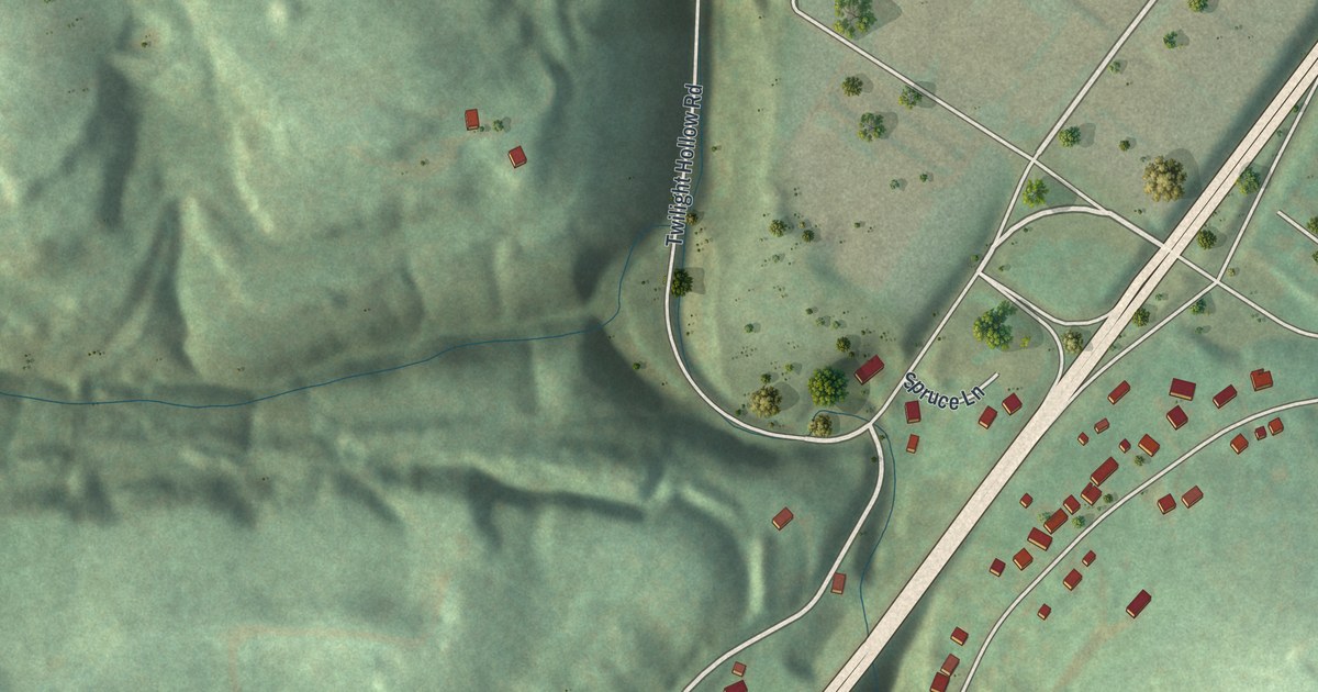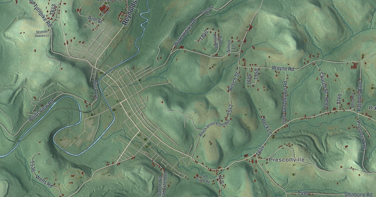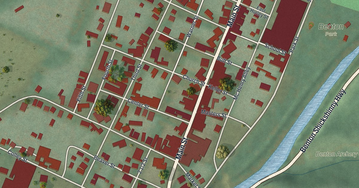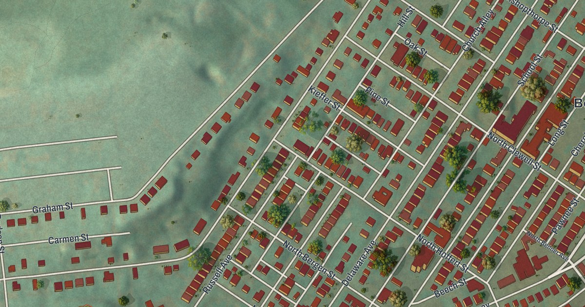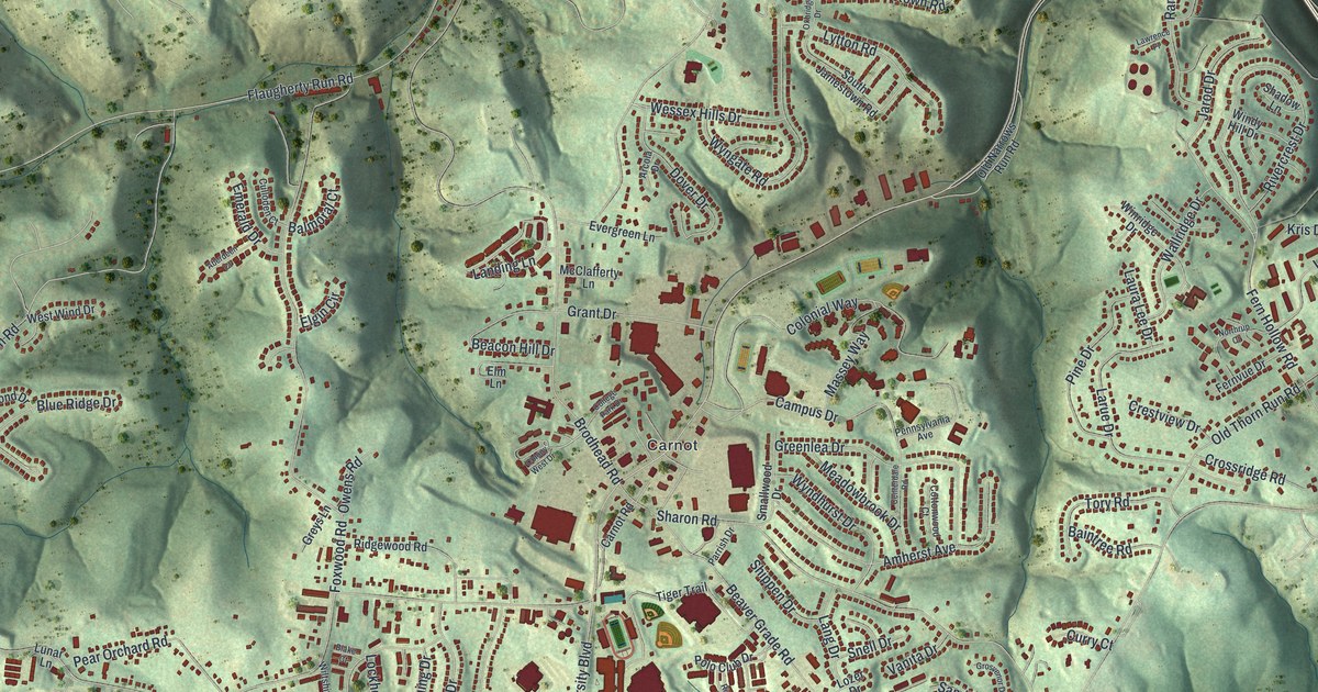
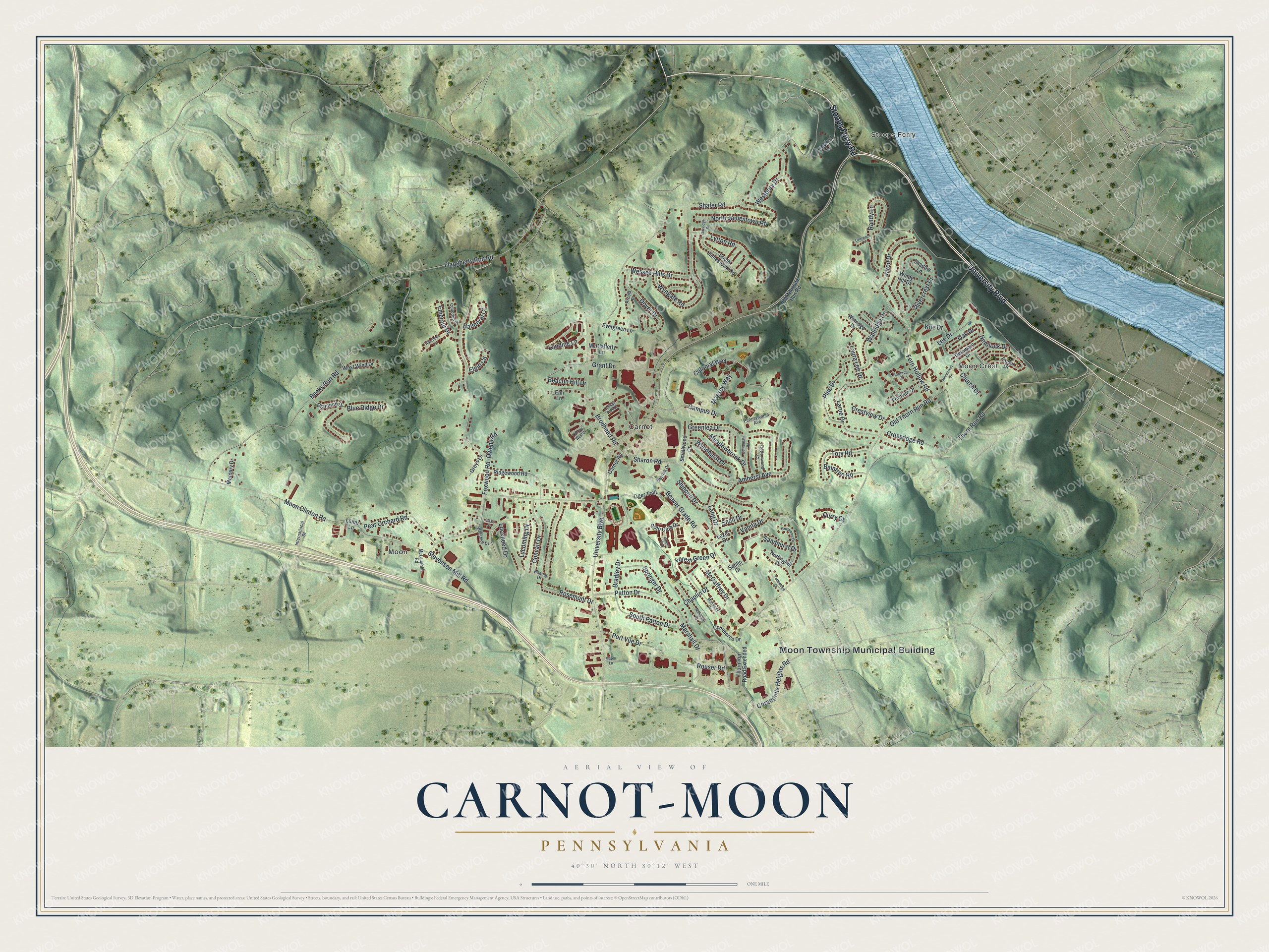
This beautifully detailed map of Carnot-Moon, Pennsylvania was created in 2026 using aerial imagery combined with modern topographical, census, street and landmark data. It's a modern aerial view of Carnot-Moon in Allegheny County, Pennsylvania, that combines modern data with a vintage aesthetic. The roads feature printed names, and if you look closely you can find your exact house accurately shown in its correct location.
Explore an aerial view of Carnot-Moon, Pennsylvania
On this map you'll find Moon Township Municipal Building, Stoops Ferry, Moon Crest, Moon, Carnot, Stoops Ferry Road, University Boulevard, Hemlock Drive, Oak Drive, Patton Drive, South Patton Drive, Moon Clinton Road, and more. Each red shape is a building, so zoom in on the preview and look for yours.
Carnot-Moon has a story worth telling. By 1819 a tiny village of a few log cabins had taken root where the Beaver Indian Trail met Sharon Road, and it was called Sharon Village. Confusion at the post office with the nearby city of Sharon led to a request in 1887 that it change its name, and the villagers chose Carnot, just after Sadi Carnot had been elected President of France. About 1828 William McGinnis opened a blacksmith shop in Sharon Village, and in 1932 blacksmith James Donnan closed his shop and built the first motorcar garage. That's from the Historical Marker Database.
Carnot-Moon is a community in Allegheny County. The Census Bureau counted 13,151 people here in 2020.
Take a closer look at the Carnot-Moon map
Names on this map
These names are printed on this map.
Places: Moon Township Municipal Building, Stoops Ferry, Moon Crest, Moon and Carnot.
Streets and roads: Stoops Ferry Road, University Boulevard, Hemlock Drive, Oak Drive, Patton Drive, South Patton Drive, Moon Clinton Road, Thorn Run Road, Shafer Road, Brodhead Road, Becks Run Road, Beaver Grade Road.
More street names, A to Z
Aberdeen Court, Amherst Avenue, Arcola Drive, Baintree Road, Balmoral Court, Beacon Hill Drive, Blake Court, Blue Ridge Drive, Boeing Drive, Bradley Drive, Campus Drive, Carnot Road, Cedar Drive, Centerdale Road, Chaplin Drive, Church Drive, College Park Drive, Colonial Way, Colony West Drive, Commerce Drive, Convair Drive, Coraopolis Heights Road, Cottonwood Court, Crestview Drive, Crooked Lane, Crossridge Road, Culloden Court, Curry Court, Delaware Drive, Diamond Drive, Dover Drive, Elgin Circle, Elm Lane, Emerald Drive, Evergreen Lane, Fern Hollow Road, Fernvue Drive, Flaugherty Run Road, Forest Green Drive, Foxwood Road, Grant Drive, Greenlea Drive, Greys Lane, Grosvenor Drive, International Drive, Jarod Drive, Kris Drive, Landing Lane, Lang Drive, Larue Drive, Laura Lee Drive, Lawrence Place, Lee Drive, Lockheed Drive, Lozer Drive, Lunar Lane, Lycoming Drive, Lytton Road, Maple Lane, Marshall Drive, Massey Way, McCaffrey Drive, McClafferty Lane, McIntosh Drive, McKinney Drive, McLaughlin Road, Meadowbrook Drive, Mercury Drive, Mooncrest Drive, North Jamestown Road, Northrup Court, Nottinghill Drive, Old Narrows Run Road, Old Thorn Run Road, Owens Road, Oxbridge Drive, Parrish Drive, Pear Orchard Road, Pennsylvania Avenue, Pine Drive, Polo Club Drive, Port Vue Drive, Randy Lane, Riders Way, Ridgewood Road, Rivercrest Drive, Rosemont Drive, Rouser Road, Sandhurst Drive, Sanlin Drive, Shadow Lane, Sharon Road, Shippen Drive, Smallwood Drive, Snell Drive, South Jamestown Road, Springer Drive, Stevenson Mill Road, Thorn Run Road Extended, Tiger Trail, Tory Road, Tottenham Drive, Vanita Drive, Wallridge Drive, Wessex Hills Drive, Westbury Drive, West Wind Drive, Wiltshire Drive, Windy Hill Drive, Winridge Drive, Wyndhurst Drive, Wyngate Road.
See it on a wall
The Carnot-Moon map as a framed print. Swipe for more.


Created by KNOWOL in 2026. The buildings are small red shapes, the roads carry their printed names, and shaded relief shows the shape of the land. The title panel reads "AERIAL VIEW OF CARNOT-MOON, PENNSYLVANIA" with 40°30' NORTH 80°12' WEST.
It looks right in a kitchen, an office or a den, and it's a gift for anyone who grew up in Carnot-Moon or moved away. Open the preview and find your street. See sizes and frames for the Carnot-Moon map.