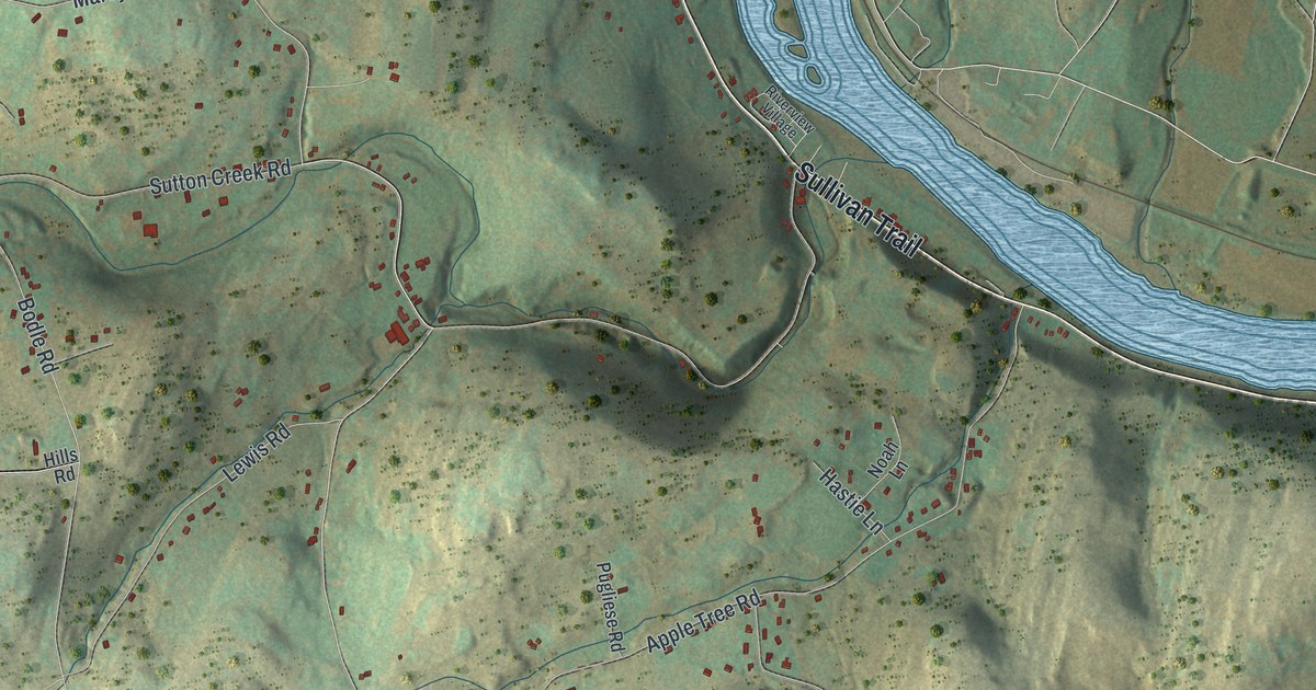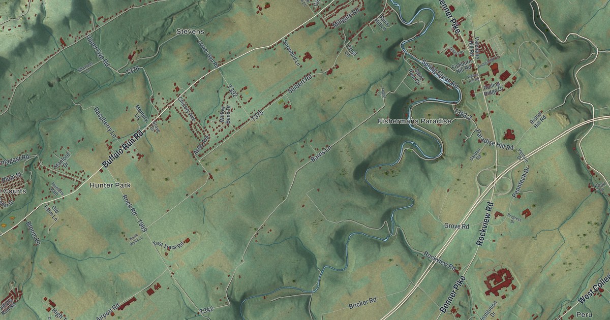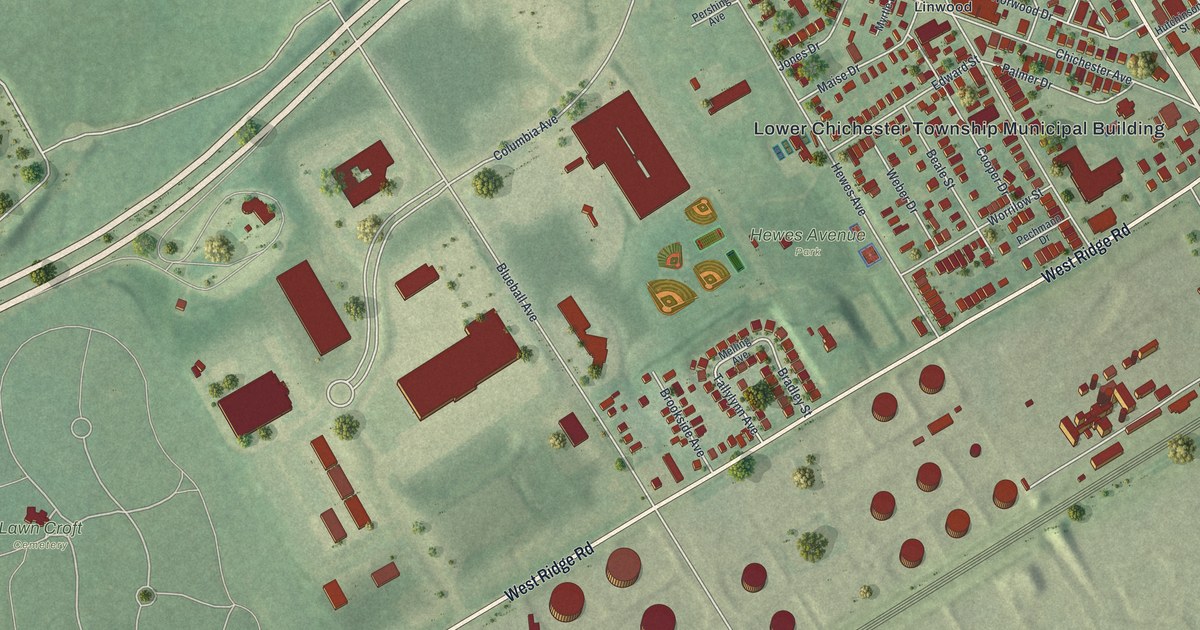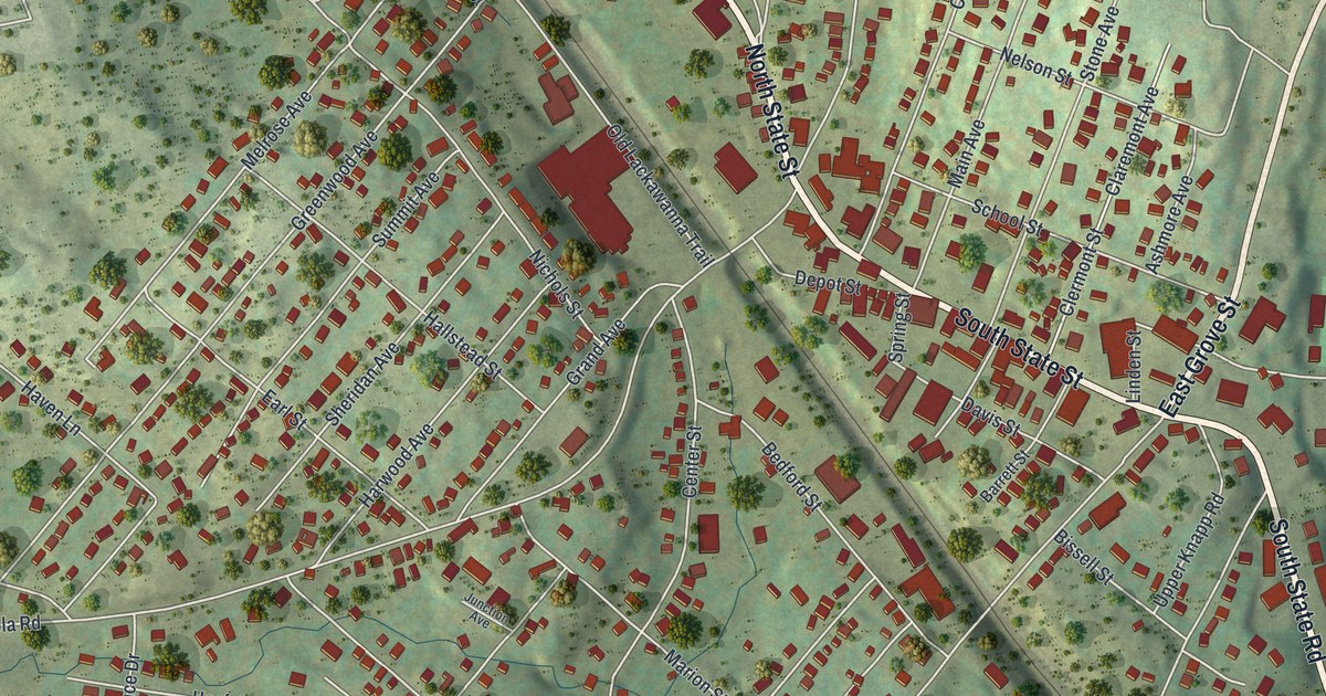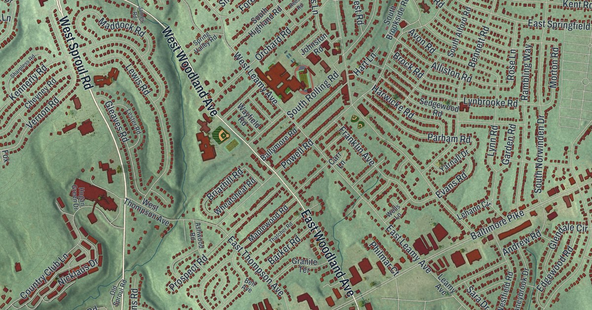
If you grew up in Springfield, look for your old block on this print. It's an aerial view of Springfield in Delaware County, Pennsylvania, made with modern data and a vintage feel. Red buildings fill the curved streets, with green open spaces and blue waterways around them.
Saxer Avenue, Baltimore Pike, and Springfield's streets
On this map you'll find Baltimore Pike, Saxer Avenue, West Springfield Road, East Springfield Road, West Sproul Road, Sproul Road, Woodland Avenue, East Leamy Avenue, Powell Road, Rolling Green Golf Club, and more. Each red shape is a building, so zoom in on the preview and look for yours.
West Springfield Road gives you a link to one of the town's oldest stories. The Springfield Friends Meeting historical marker records a meeting at the site since 1686. The American artist Benjamin West attended as a boy. A school and library opened there in 1832. The present meeting building was built in 1851. Look for West Springfield Road on the print to place this part of Springfield's past among the streets you know.
Keep Springfield and Rolling Green close
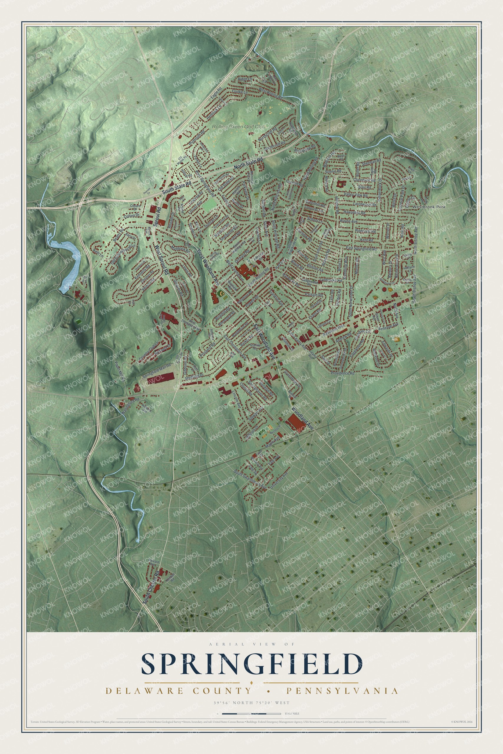
Created by KNOWOL in 2026, the print pairs soft green terrain with red buildings, pale roads, and blue water. A cream border surrounds the map. The title panel reads AERIAL VIEW OF SPRINGFIELD, DELAWARE COUNTY • PENNSYLVANIA, with 39°56' NORTH 75°20' WEST below.
Hang it in a living room, home office, or entryway. It's a gift for someone who grew up near Saxer Avenue or moved away from Springfield. Open the preview and take a closer look at the streets around home. See sizes and frames for the Springfield, Delaware County map.