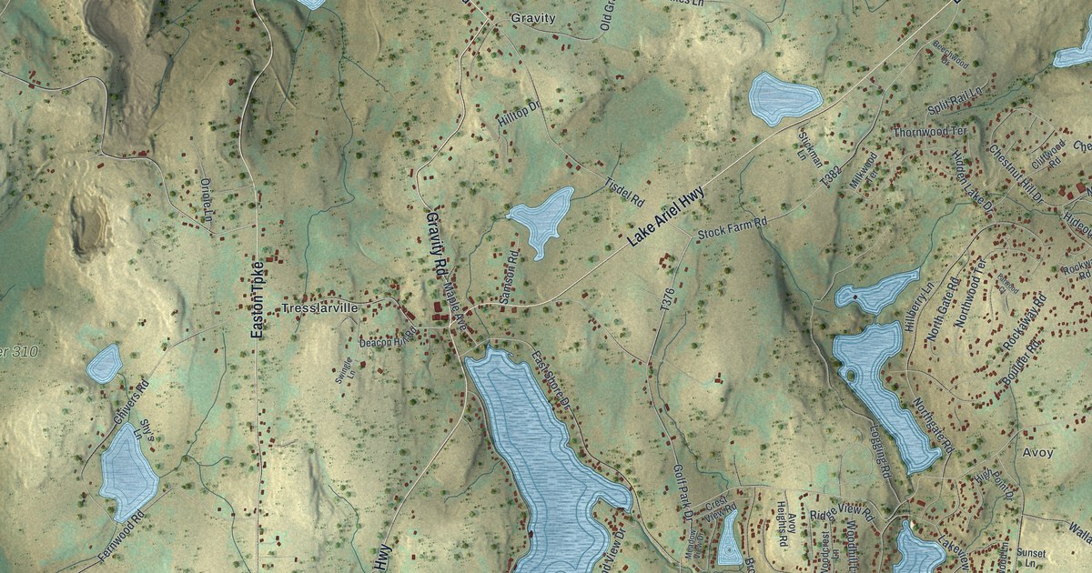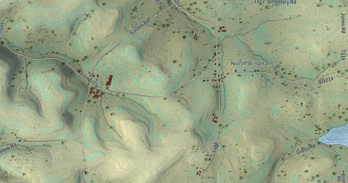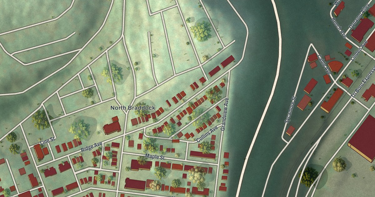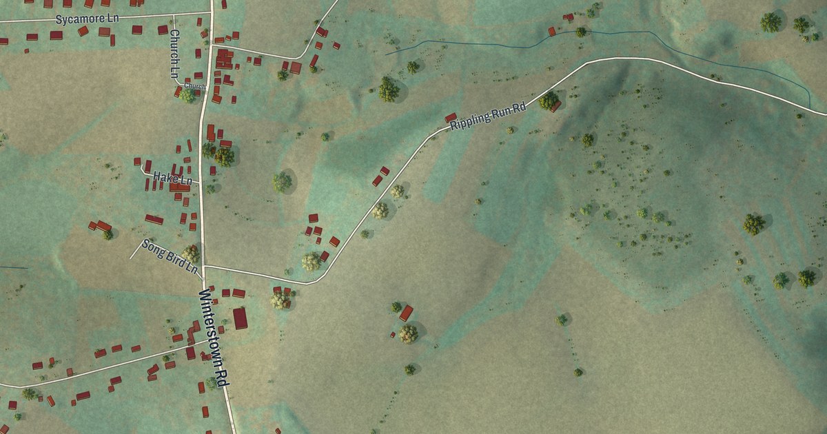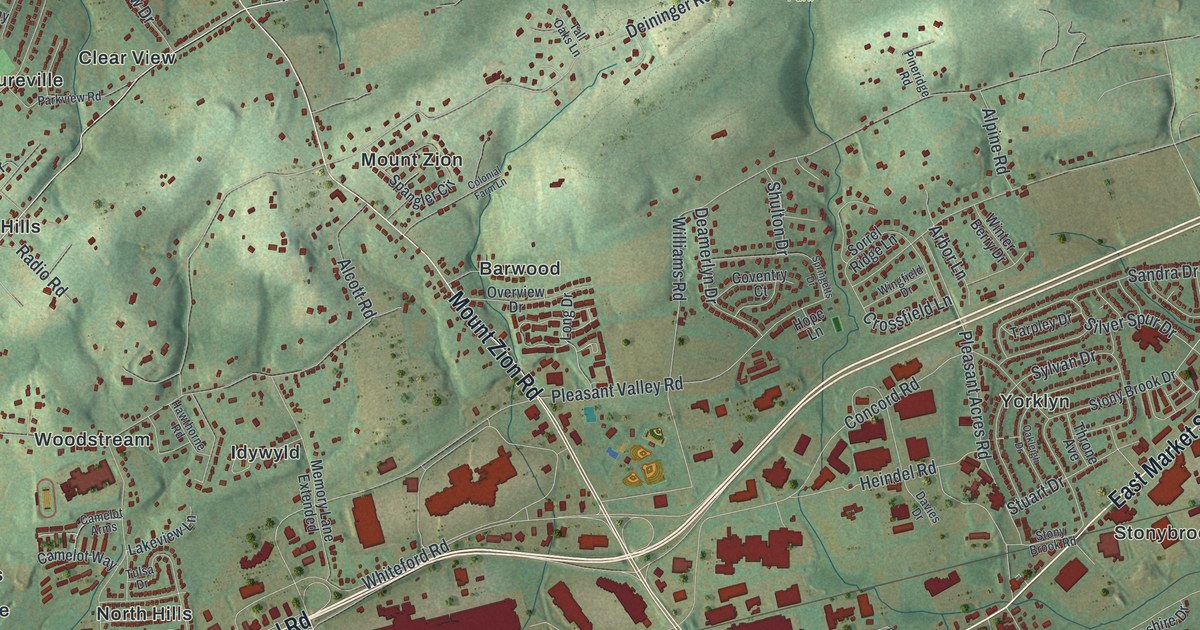
If you grew up in Haines Acres, Yorkshire or along East Market Street, this map is your home from above. It's a new aerial view of Springettsbury Township in York County, Pennsylvania, made from modern data and given a vintage look. Green shaded hills fill the top of the sheet. A blue creek winds down the left side. Below the hills, small red buildings crowd around Lincoln Highway and East Market Street.
Streets and neighborhoods on the Springettsbury map
On this map you'll find East Market Street, Lincoln Highway, Mount Rose Avenue, Mount Zion Road, Arsenal Road, Eastern Boulevard, Haines Road, Druck Valley Road, Memory Lane, Rocky Ridge County Park, Haines Acres, Yorkshire, Stonybrook, East York, Orchard Hill, and more. Each red shape is a building, so zoom in on the preview and look for yours.
Camp Security, a Revolutionary War prison camp
One story from Springettsbury's past goes back to the Revolutionary War. A state historical marker on East Market Street tells it. In 1781, a prison camp called Camp Security was built to hold British troops. They had surrendered with General Burgoyne at Saratoga, New York. Their families came with them. Later, men captured at Yorktown, Virginia, arrived too. York County militia and Continental troops stood guard. The camp was made of log huts and a large stockade. It closed when the war ended in 1783. The marker says archaeological evidence confirmed the camp's location less than a mile to the south. The marker stands on East Market Street, which is printed on the map, and it says the camp was less than a mile south of it.
The Strickler Family Farmhouse on Williams Road
Another old place stands at 1205 Williams Road. It's the Strickler Family Farmhouse. It was added to the National Register of Historic Places in 1991. Williams Road is printed on the map, so you can find the road the farmhouse sits on.
From Rocky Ridge County Park to Mount Rose Avenue
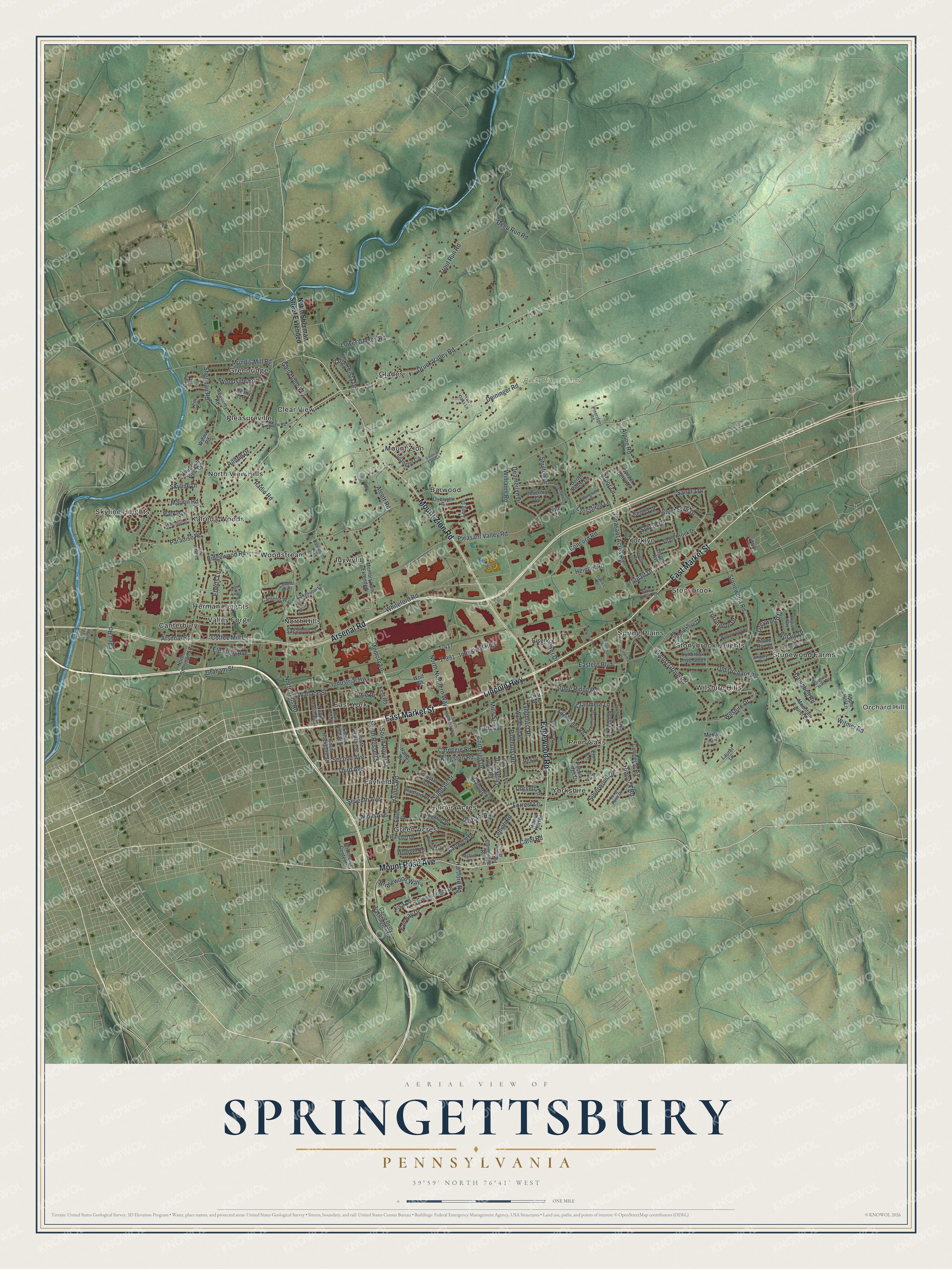
Created by KNOWOL in 2026, this print shows Springettsbury from above, with green shaded hills, a winding blue creek and red buildings on shaded green terrain. The title panel reads "Aerial View of Springettsbury, Pennsylvania" with the coordinates 39°59' North 76°41' West.
It fits a living room, a home office or a front hall. It's a thoughtful gift for someone who grew up near Rocky Ridge County Park and now lives far away. Open the preview and find the streets you know. See sizes and frames for the Springettsbury map.