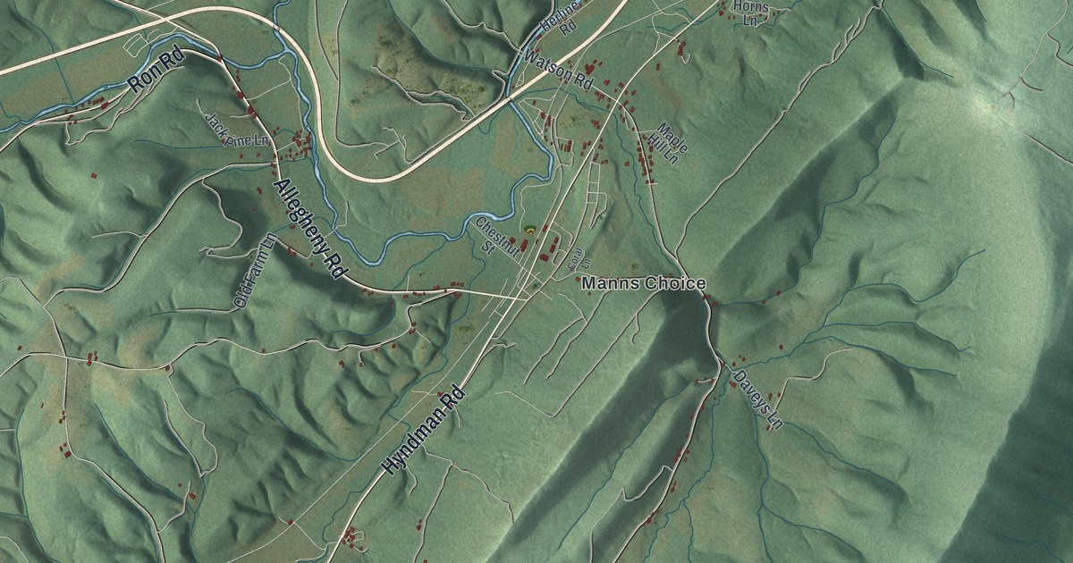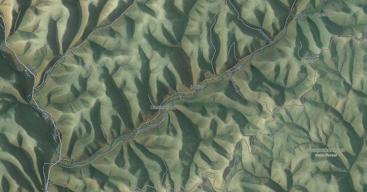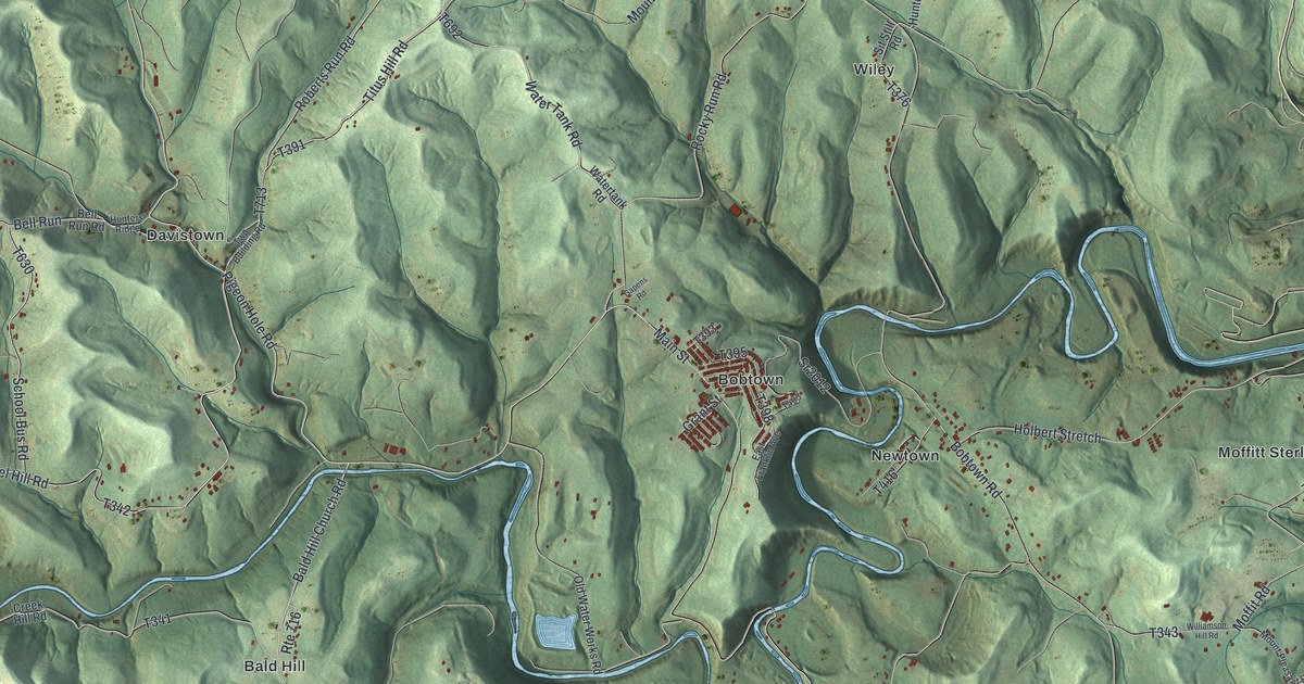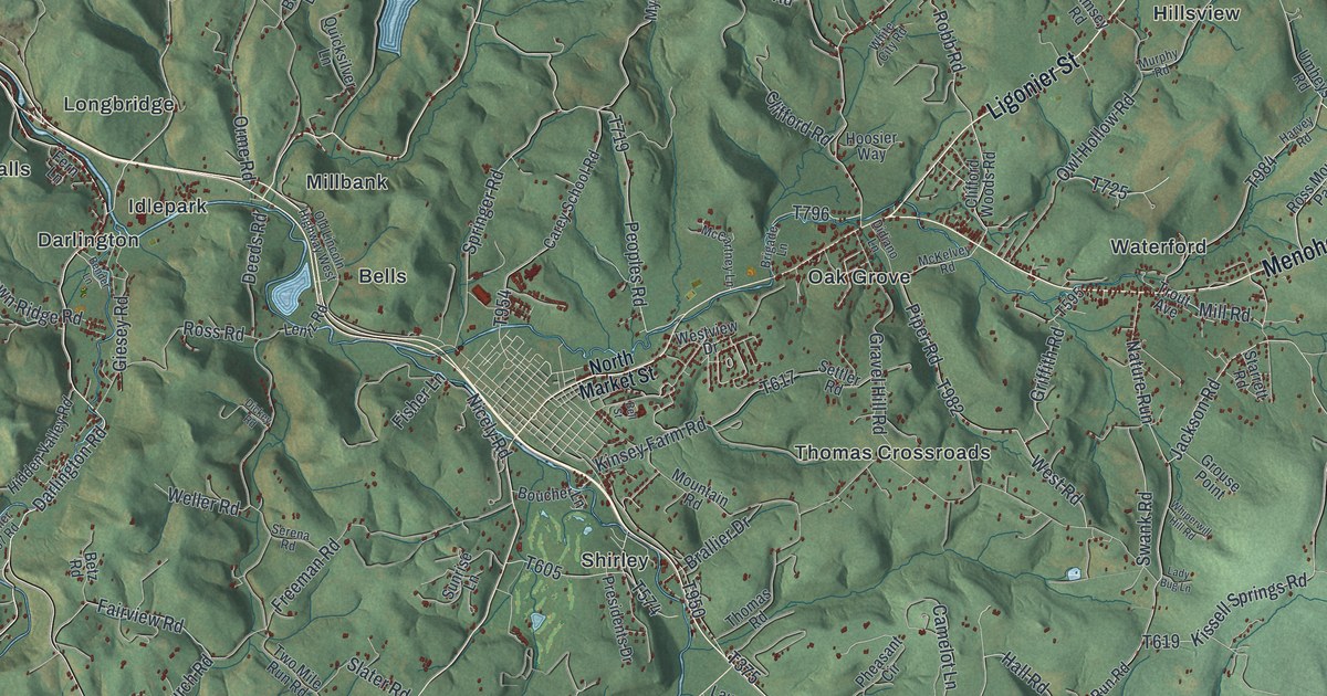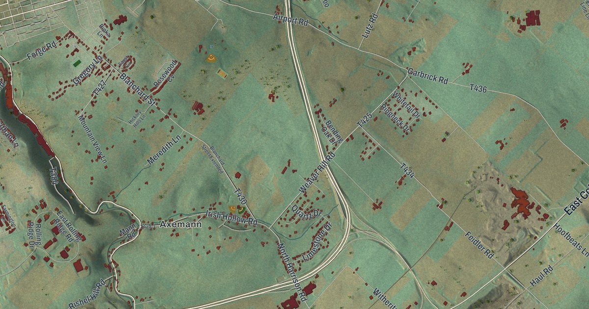
If you grew up in Pleasant Gap, you'll find a familiar place on this print. It's a modern aerial view of Spring in Centre County, Pennsylvania, made with modern data and a vintage feel. Green ridges frame the streets, with red buildings and blue streams among them.
Axemann Road and Pleasant Gap
On this map you'll find Axemann Road, South Main Street, East College Avenue, Zion Road, Benner Pike, Jacksonville Road, Pleasant Gap, Axemann, Coleville, Bush Addition, Lyonstown, Pleasant View, and more. Each red shape is a building, so zoom in on the preview and look for yours.
Axemann Road also gives you a place to start with local history. The National Register lists Bellefonte Forge House at 4098 Axemann Road in Spring Township. The house joined the list in August 1999. You can find the road's name on this print, along with Axemann itself.
Keep Pleasant Gap close
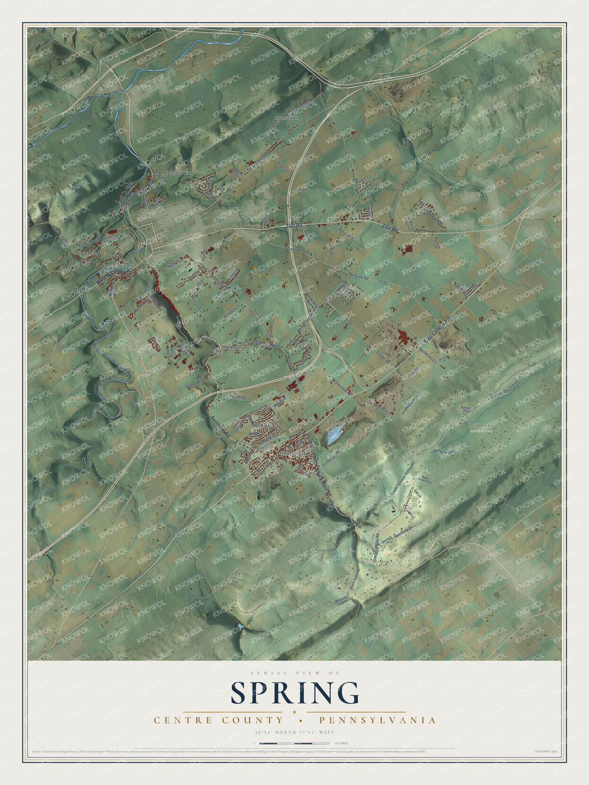
Created by KNOWOL in 2026, this print pairs soft green terrain with red buildings, blue water, and a cream border. The title panel reads AERIAL VIEW OF SPRING, CENTRE COUNTY • PENNSYLVANIA, with 40°54' NORTH 77°44' WEST below.
Hang it in a living room, office, or entryway. It's a thoughtful gift for someone who grew up in Pleasant Gap and moved away. Open the preview to look for a familiar street and see the hills around home. See sizes and frames for the Spring, Centre County map.