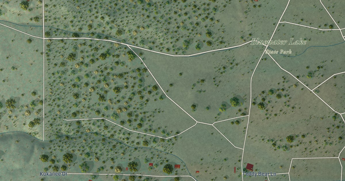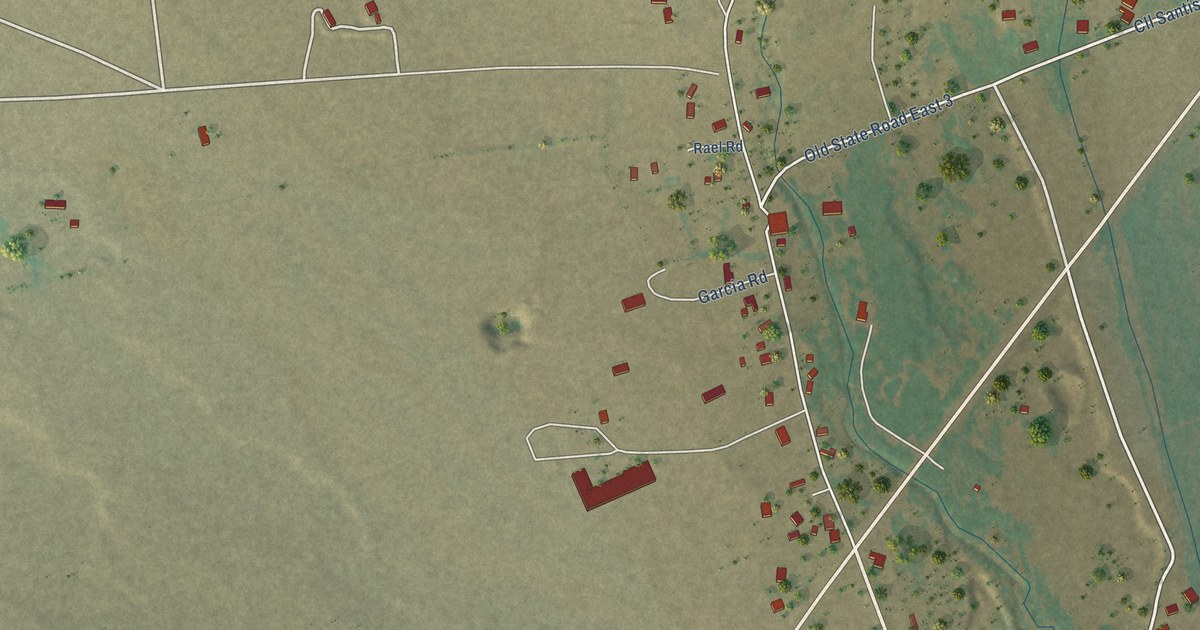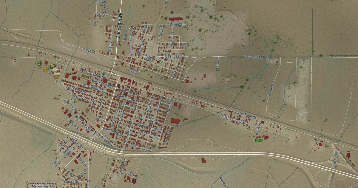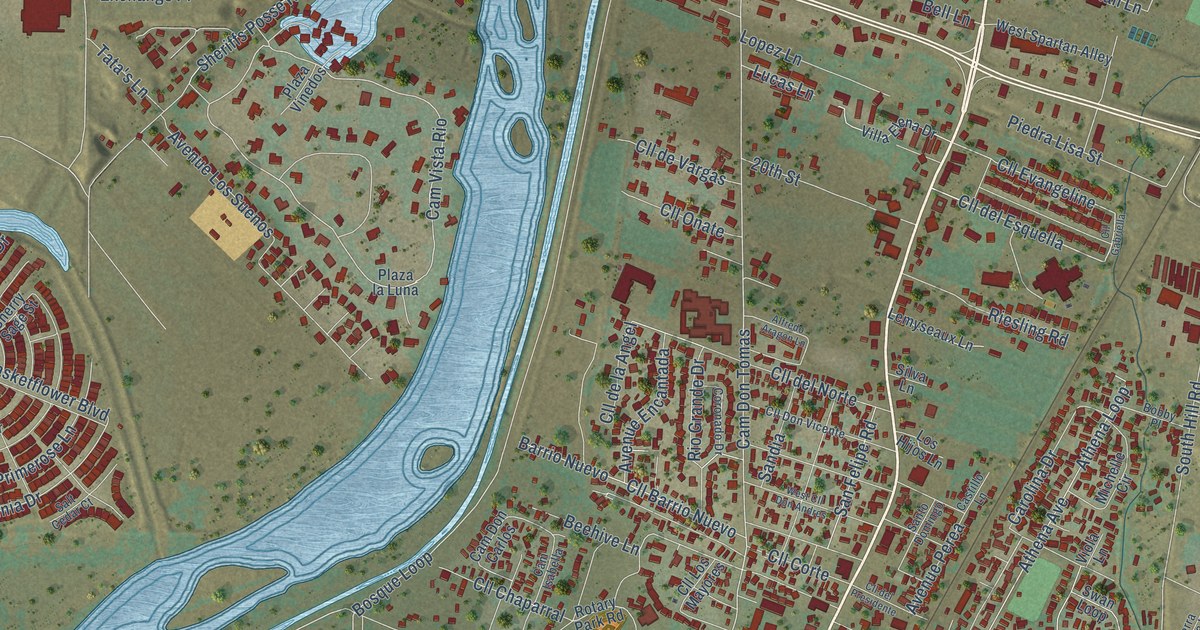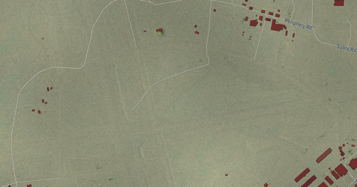
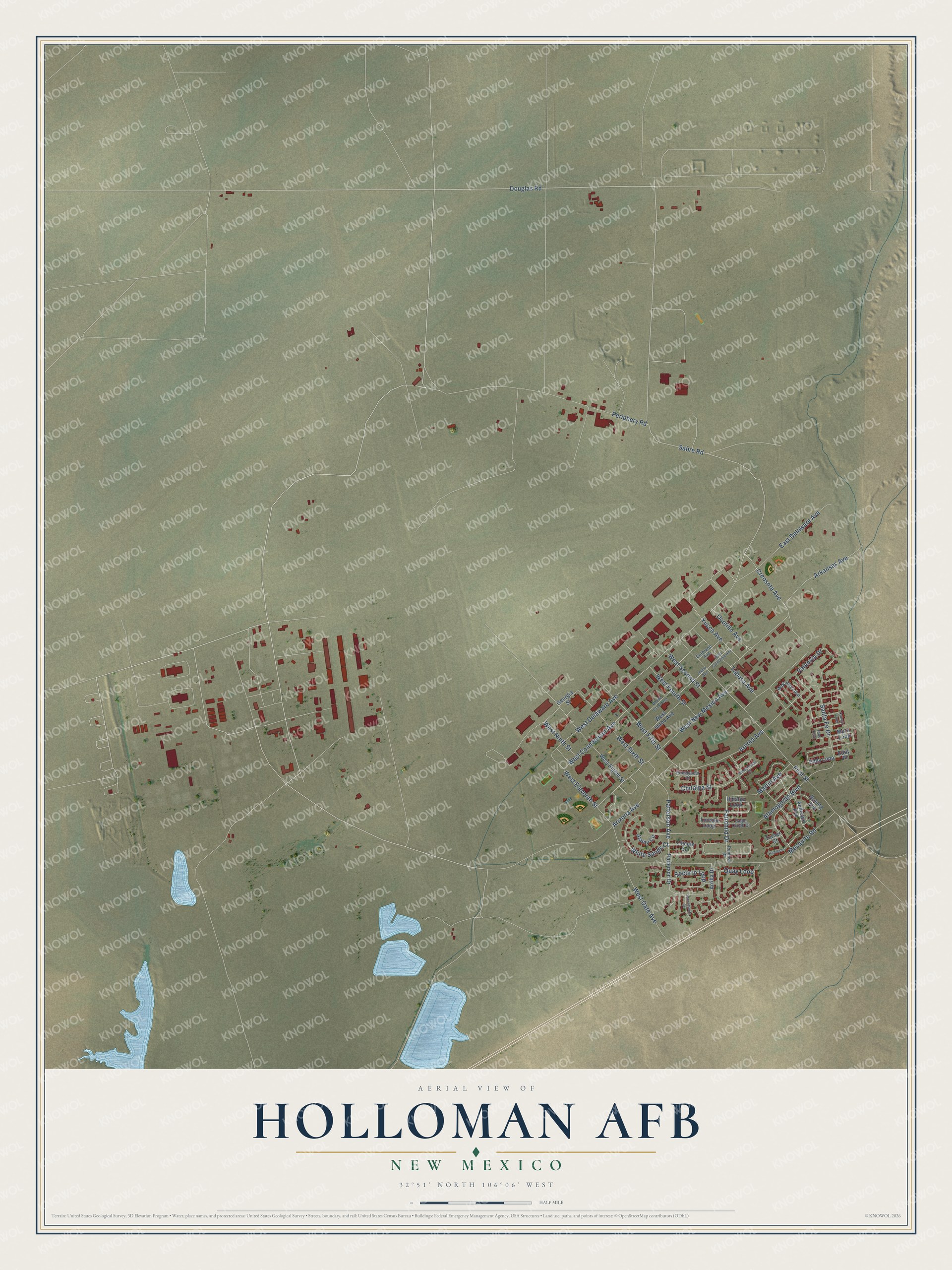
This beautifully detailed map of Holloman AFB, New Mexico was created in 2026 using aerial imagery combined with modern topographical, census, street and landmark data. It's a modern aerial view of Holloman AFB in Otero County, New Mexico, that combines modern data with a vintage aesthetic. The roads feature printed names, and if you look closely you can find your exact house accurately shown in its correct location.
Explore an aerial view of Holloman AFB, New Mexico
On this map you'll find Douglas Road, Sabre Road, West Delaware Avenue, West Eleventh Street, Arkansas Avenue, Creosote Avenue, West New Mexico Avenue, Socorro Loop, Arnold Avenue, White Sands Court, West Fifth Street, Santa Fe Drive, and more. Each red shape is a building, so zoom in on the preview and look for yours.
Every town has a first chapter, and Holloman AFB is no exception. Holloman began in World War II as Alamogordo Army Airfield, a training ground for bombing crews, and was renamed for Colonel George V. Holloman during the Cold War. In 1954 Lieutenant Colonel John P. Stapp, a doctor, rode a rocket sled to 632 miles per hour on the base's test track and became known as the Fastest Man Alive. Ham the Astrochimp also trained at Holloman before his suborbital flight in 1961. He was the first primate to show that tasks could be carried out in space. That's from the New Mexico Historic Preservation Division.
Holloman AFB is a community in Otero County. The Census Bureau counted 3,810 people here in 2020.
Take a closer look at the Holloman AFB map
Names on this map
These names are printed on this map.
Streets and roads: Douglas Road, Sabre Road, West Delaware Avenue, West Eleventh Street, Arkansas Avenue, Creosote Avenue, West New Mexico Avenue, Socorro Loop, Arnold Avenue, White Sands Court, West Fifth Street, Santa Fe Drive.
More street names, A to Z
Alamo Circle, Alamogordo Boulevard, Andrews Avenue, Arizona Avenue, Arriba Drive, Boeing Avenue, Catron Loop, Chitalpa Street, Colorado Avenue, Eagle Creek Court, East California Avenue, East Delaware Avenue, Eddy Loop, Eddy Place, Fairchild Drive, First Street, Georgia Street, Hanscom, Hidalgo Loop, Honeylocust Court, Idaho Avenue, Lincoln Loop, Lincoln Square, Martin Avenue, McKinley Loop, Mesquite Road, Mora Loop, Ocotillo Avenue, Patterson Avenue, Patterson Drive, Periphery Road, Pricklypear Court, Quay Loop, Rhode Island Avenue, Ruidoso Drive, Sacramento Court, Tabosa Avenue, Taos Loop, Turner Court, Valencia Drive, West Connecticut Avenue, West Eighth Street, West Fourth Street, West Gate Avenue, West Idaho Avenue, West Ninth Street, West Second Street, West Sixth Street, Yucca Avenue.
See it on a wall
The Holloman AFB map as a framed print. Swipe for more.


Created by KNOWOL in 2026. The buildings are small red shapes, the roads carry their printed names, and shaded relief shows the shape of the land. The title panel reads "AERIAL VIEW OF HOLLOMAN AFB, NEW MEXICO" with 32°51' NORTH 106°06' WEST.
Hang it in the hallway, the office or the cabin, or give it to someone who left Holloman AFB and still calls it home. Open the preview and look for a street you know. See sizes and frames for the Holloman AFB map.