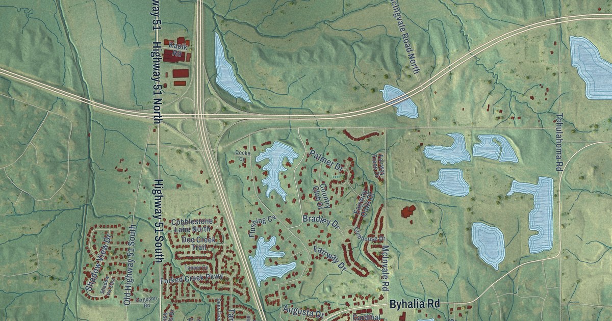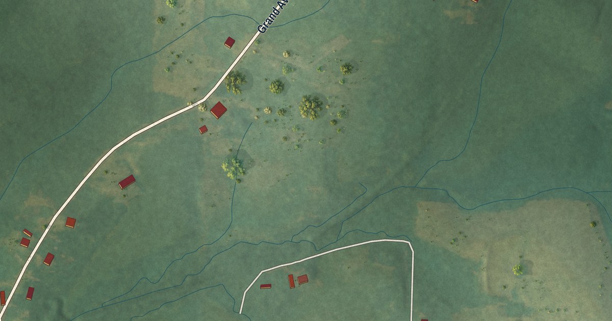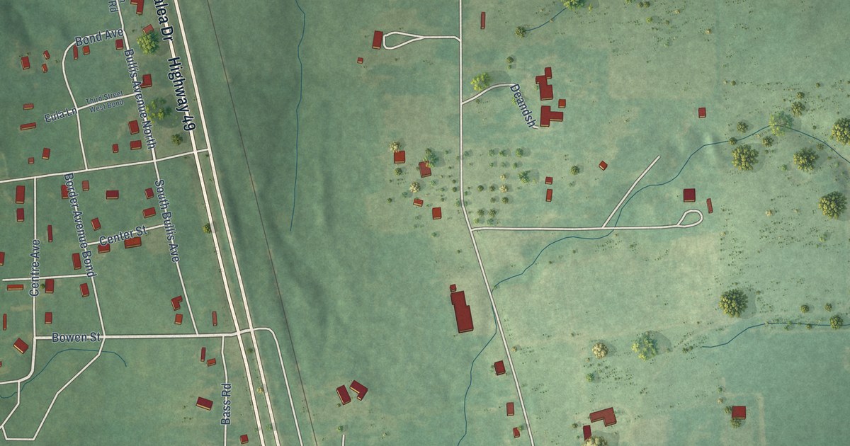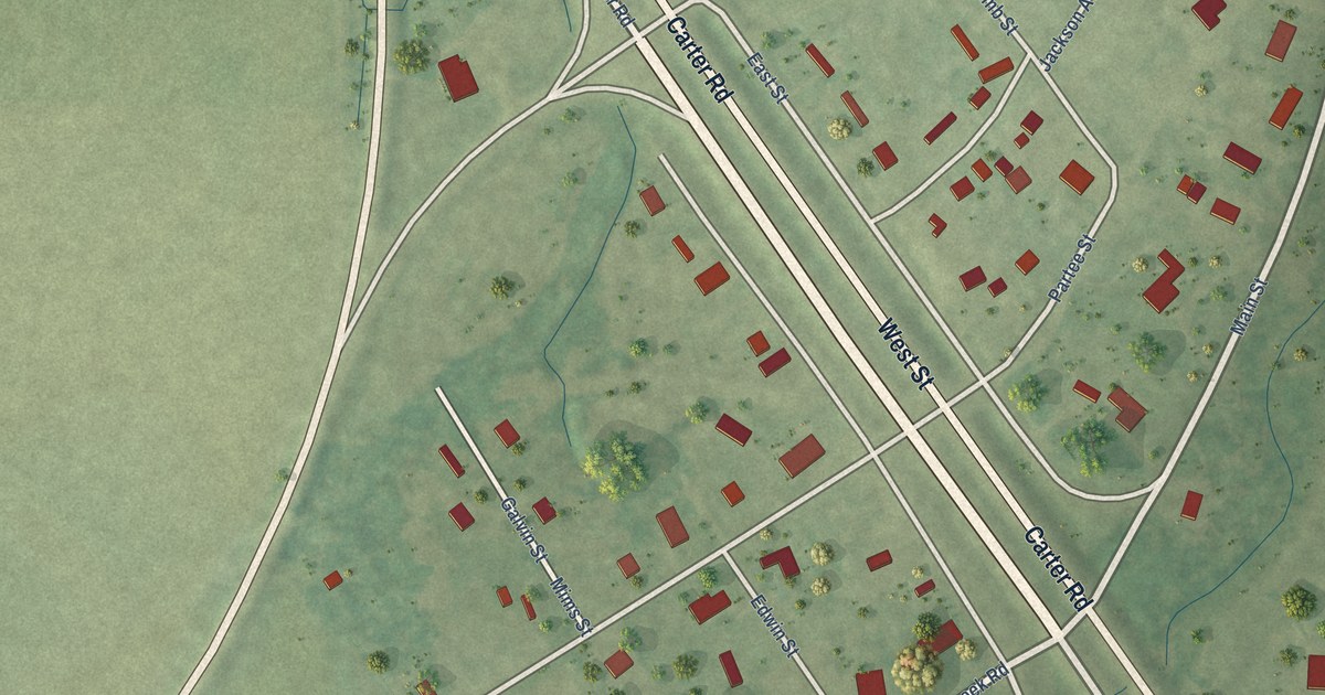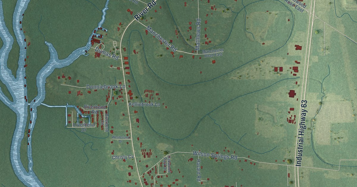
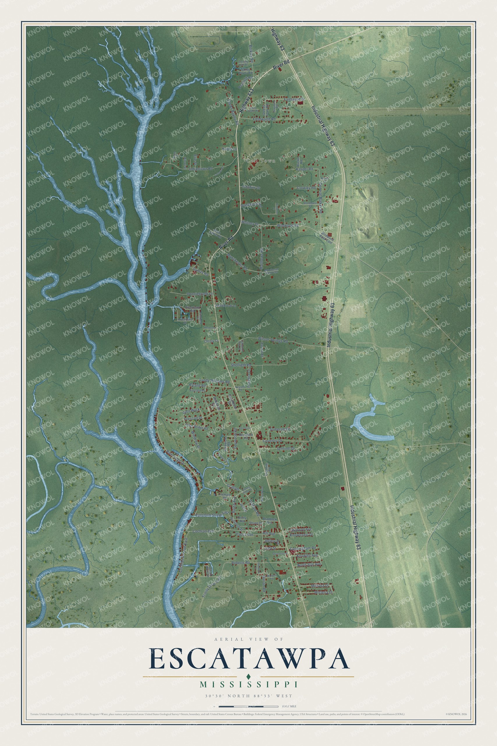
This beautifully detailed map of Escatawpa, Mississippi was created in 2026 using aerial imagery combined with modern topographical, census, street and landmark data. It's a modern aerial view of Escatawpa in Jackson County, Mississippi, that combines modern data with a vintage aesthetic. The roads feature printed names, and if you look closely you can find your exact house accurately shown in its correct location.
Explore an aerial view of Escatawpa, Mississippi
On this map you'll find Coll Town, River Road, Industrial Highway 63, Highway 613, Highway 63, Bolen Avenue, Graham, Manchester Road, Graham Road, Fieldworth Road, Guywood Road, General Walker Road, and more. Each red shape is a building, so zoom in on the preview and look for yours.
Here is a piece of Escatawpa history. The rock band 3 Doors Down hailed from Escatawpa and built a strong following across the South before Republic/Universal released its first major-label album, The Better Life, in February 2000. Its first single, Kryptonite, got early support from rock station WCPR in Biloxi, whose program director called it the biggest record in the station's history. That February the song stood at No. 15 on the Mainstream Rock Tracks chart and was still climbing. That's from the Billboard music magazine.
Escatawpa is a community in Jackson County. The Census Bureau counted 3,254 people here in 2020.
Take a closer look at the Escatawpa map
Names on this map
These names are printed on this map.
Places: Coll Town.
Streets and roads: River Road, Industrial Highway 63, Highway 613, Highway 63, Bolen Avenue, Graham, Manchester Road, Graham Road, Fieldworth Road, Guywood Road, General Walker Road, Hallstorm Street East.
More street names, A to Z
Allen Lance Road, Barron Road, Bayou Estates Road, Becky Lane, Berkley Road, Berkshire Road, Biloxi Street, Braddock Avenue, Bucko Road, Buttonwood, Christy Cv, Clarks Bayou Road, Cochran Avenue, Cochran Avenue East, Colltown Road, Coventry Drive, Crowley Road, Cunningham Road, Donchester Circle, Donna Anna Drive, Donniebrook Lane, Dorothy Lois Drive, Dowlwood Road, Druey Avenue, Dumas Road, Erie Street, Fairhaven Drive, Fourmile Road, Foxshire Drive, Glen Wyck, Graymont Road, Greens Ferry Road, Hallstorm Street, Hardwicke Road, Havard Road, Hill Avenue, Idywood Avenue, Indiantown Road, Innshire Drive, Jeffery Road, Joann, Jody Street, Kasby Lane, Kasper Road, Kelliebrook Lane, Kenchester, Kings Bridge Road, Knowlcrest Drive, Knowles Avenue, Lockard Road, Lundy Williams Road, Manchester Road East, Matthews Road, McQueen Avenue, Mimosa Drive, Neyland Road, North Star Avenue, Oakwood Park Drive, Peafield Road, Prassenos Lane, Prescott Drive, Riverbend Circle, Riverbend Drive, Riverbend Road, Riverland Road, Riverlodge Drive, Roberts Road, Ryland Road, Sandy Bayou Road, Sentinel Drive, Shallowford Road, Shane Drive, Shaw Lane, Sheffield Road, Sherbrook Street, Shonto Street, Somerset Drive, Stonehurst Drive, Trinity Drive East, Westerland Drive, Whitney Drive, Wildwood Road, Wildwood Road East, Wilkerson Circle, William Baxter Street, Wilson Springs Road, Windrow Place, Wisteria Drive, Yucca Avenue.
See it on a wall
The Escatawpa map as a framed print. Swipe for more.


Created by KNOWOL in 2026. The buildings are small red shapes, the roads carry their printed names, and shaded relief shows the shape of the land. The title panel reads "AERIAL VIEW OF ESCATAWPA, MISSISSIPPI" with 30°30' NORTH 88°33' WEST.
It suits a den, a classroom or a front hall, and it makes a gift for anyone with Escatawpa roots. Open the preview and find the block you know. See sizes and frames for the Escatawpa map.