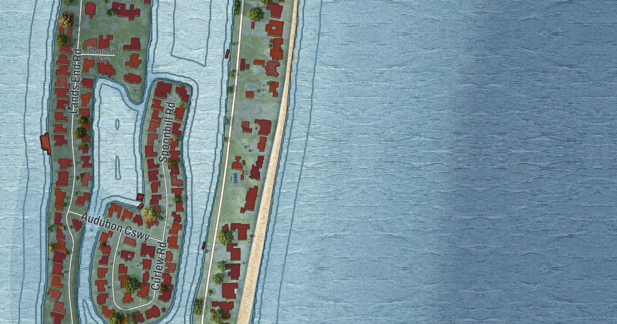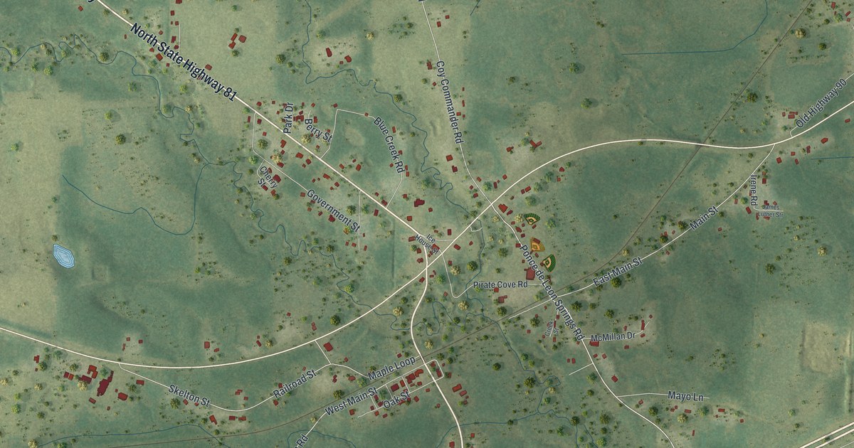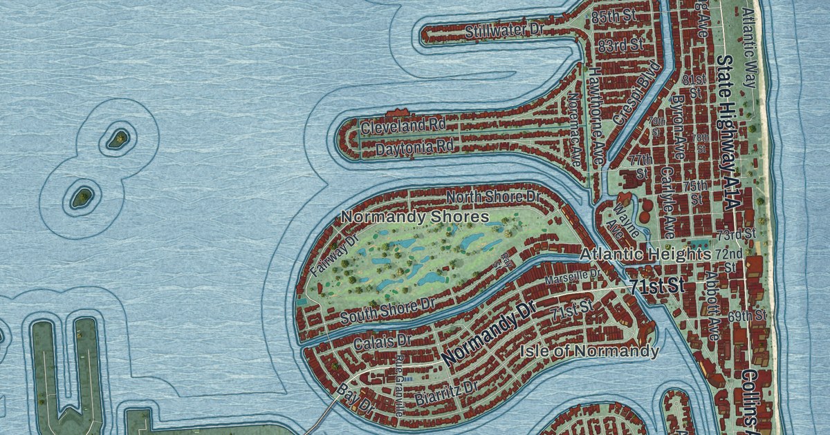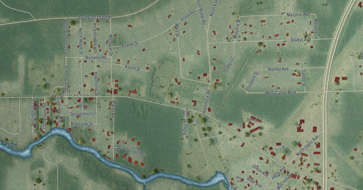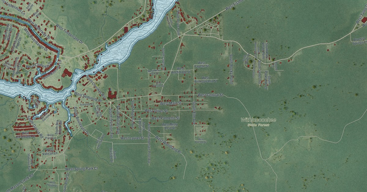
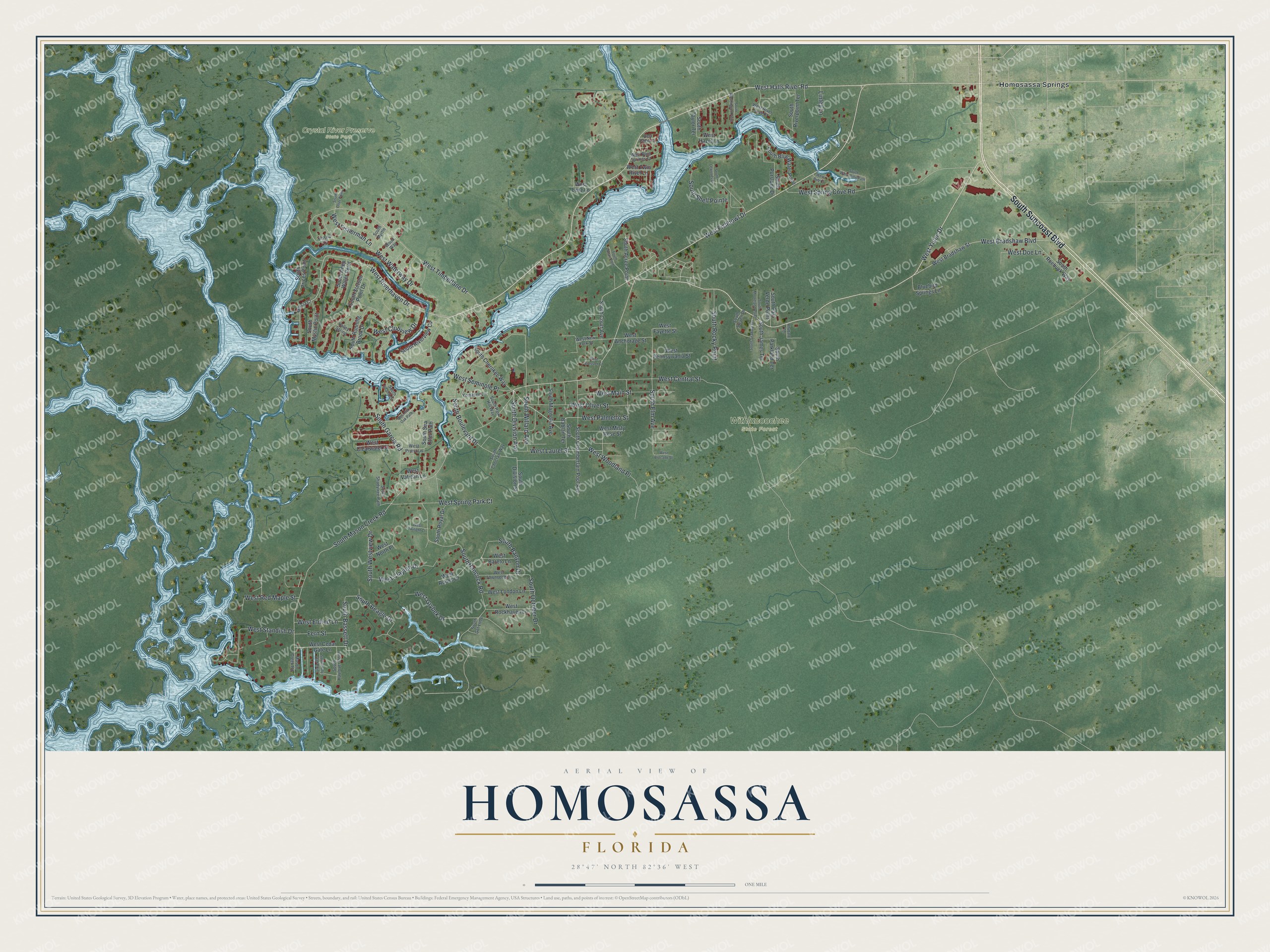
This beautifully detailed map of Homosassa, Florida was created in 2026 using aerial imagery combined with modern topographical, census, street and landmark data. It’s a one-of-a-kind view of Homosassa that combines accurate data with a vintage aesthetic. The map shows every building in its true location, many of the roads carry their names, and the shaded topographic relief shows the shape of the land.
Explore an aerial view of Homosassa, Florida
On the map you’ll find Crystal River Preserve State Park, Withlacoochee State Forest, Homosassa Springs, and West Woodland Place, along with South Suncoast Boulevard, West Yulee Drive, West Halls River Road, West Riverhaven Drive, West Fishbowl Drive, West Palmetto Street, South Mason Creek Road, South Division Avenue, and more. If you look closely you can even find your house accurately drawn in its correct location. Zoom in on the preview to look for yours.
Did You Know?
One reading of the name Homosassa comes from the Seminole and Creek words for a place where wild pepper grows. Others like to think it means smoking creek, for the dense vapor that wraps the warm springs and river on cool days. A Seminole settlement was also named Homosassa, and in 1836 it stood at or near the site of the present town. That's from the book Florida Place Names by Allen Morris.
Take a closer look at the Homosassa map
Names on this map
These names are printed on this map.
Places: Crystal River Preserve State Park, Withlacoochee State Forest and Homosassa Springs.
Streets and roads: South Suncoast Boulevard, West Yulee Drive, West Halls River Road, West Woodland Place, West Riverhaven Drive, West Fishbowl Drive, West Palmetto Street, South Mason Creek Road, South Division Avenue, West Timberlane Drive, South Boulevard Drive, West Waterway Drive.
More street names, A to Z
Bluebird Springs Lane, Fern Street, Linley Lane, Marcia Court, Mason Creek Road, Rhubarb Terrace, Rosha Court, South Acree Point, South Bablan Terrace, South Banyon Drive, South Bassett Drive, South Beagle Drive, South Blue Water Point, South Bonair Point, South Chamberlain Pool Avenue, South Cherokee Way, South Choctaw Way, South Court Avenue, South Deep Water Point, South Division Street, South Dot Loop, South Elm Avenue, South Garcia Road, South Hancock Road, South Haulover Point, South Holly Oak Point, South Island Drive, South James Terrace, South Lewoods Drive, South Magnolia Avenue, South Mooreland Point, South Myrtle, South Mystic Point, South October Drive, South Otter Point, South Palo Verde Point, South Park Hill Way, South Parkland Terrace, South Prices Point, South Purslane Drive, South Riverpoint Terrace, South Riverview Circle, South Rocky Point, South Roebuck Way, South Royal Drive, South Running Brook Drive, South Seabury Terrace, South Sea Otter Path, South Shadytree Path, South Shell Pointe, South Stetson Point Drive, South Steven Drive, South Taylor Terrace, South Wandering Path, South Washington Point, South Westview Drive, South Willard Avenue, Valley Spring, West Anchorage Street, West Bareto Lane, West Blue Springs Court, West Bob Court, West Bradshaw Boulevard, West Bradshaw Street, West Bressler Court, West Brocade Street, West Cedar Gate Lane, West Central Street, West Clayton Drive, West Clearwater Court, West Clubview Drive, West Doe Lane, West Eldred Lane, West Fayette Street, West Fisherman Lane, West Grybek Drive, West Hadley Court, West Hazel Lane, West Laurel Street, West Lenz Lane, West London Lane, West Main Street, West Misty Rose Street, West New York Street, West North Place, West Oliver Street, West Pennsylvania Street, West Priest Lane, West Red Maple Street, West River Cove Place, West Rockhaven Lane, West Rooks Court, West Seminole Place, West Silk Oak Path, West Spring Cove Road, West Spring Park Court, West Standish Drive, West Townsend Lane, West Twilight Court, West Twin River Lane, West Vatican Lane, Wood Way, Yemasee Lane.
See it on a wall
The Homosassa map as a framed print. Swipe for more.


This beautifully detailed map of Homosassa makes an attractive addition to your office, library, or den, and it can even be used to teach children the geography and history of the area. It also makes a great gift for someone who left Homosassa and still calls it home. When you’re done exploring, click here to get your copy of the Homosassa map.