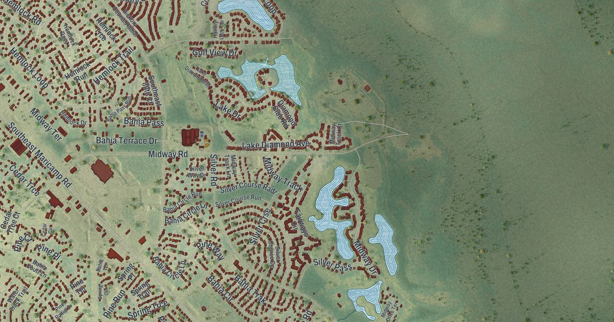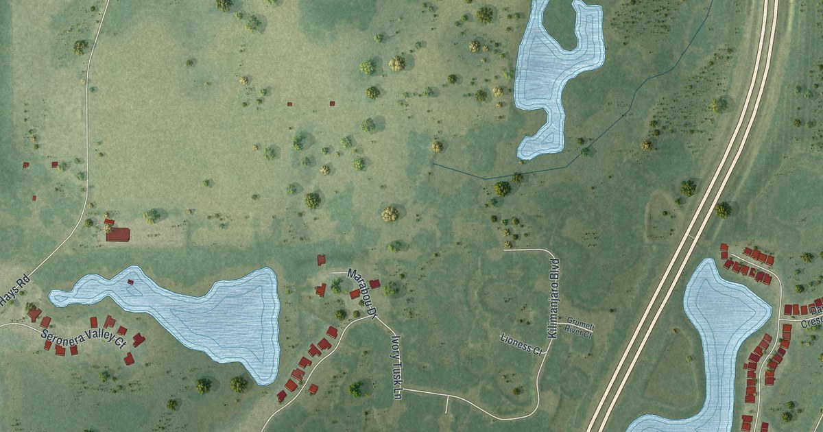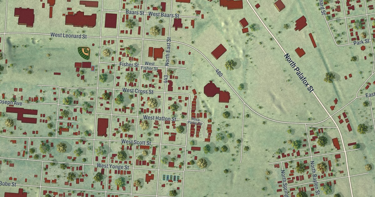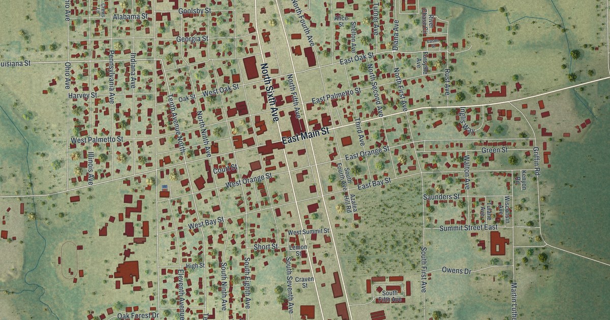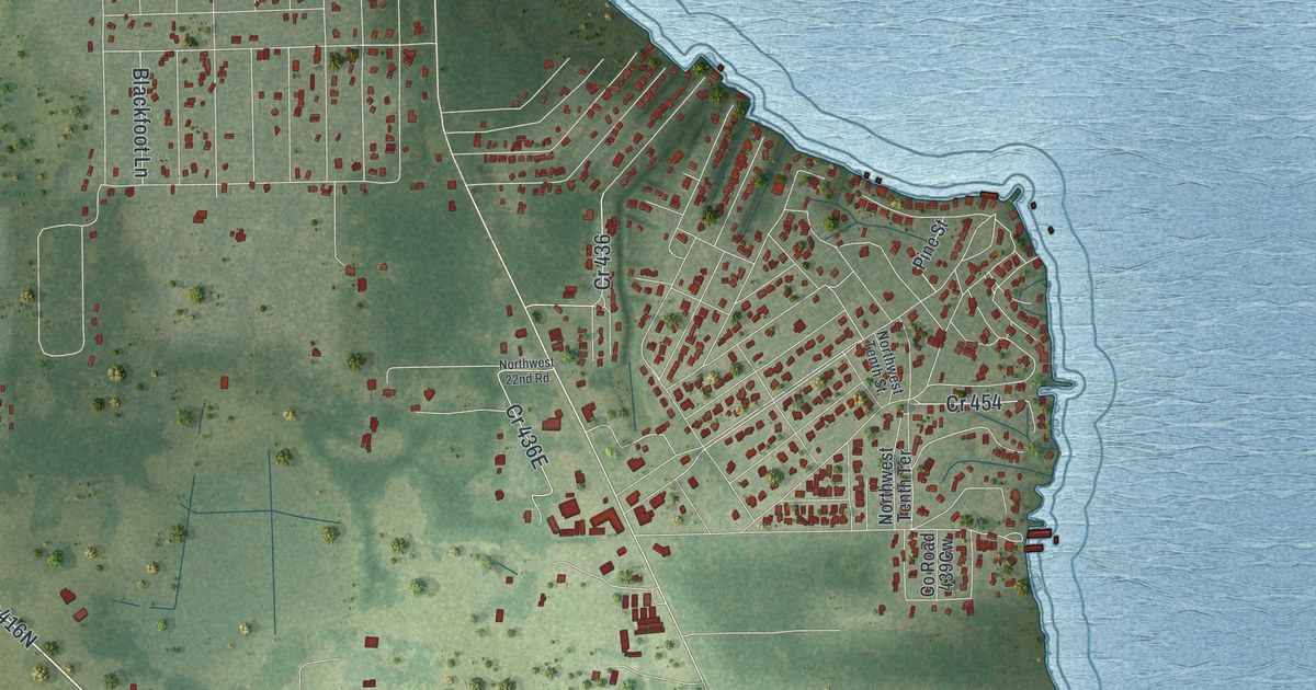
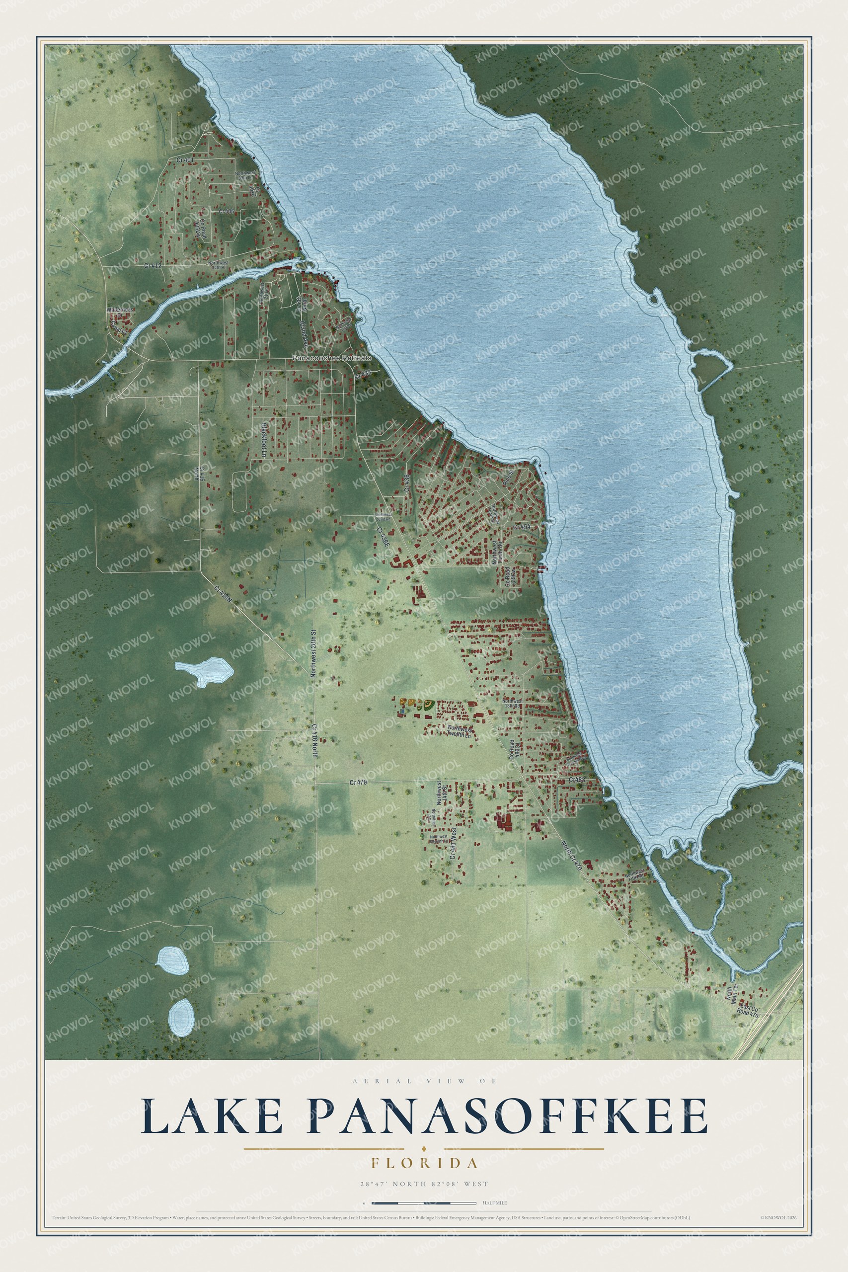
This beautifully detailed map of Lake Panasoffkee, Florida was created in 2026 using aerial imagery combined with modern topographical, census, street and landmark data. It's a modern aerial view of Lake Panasoffkee in Sumter County, Florida, that combines modern data with a vintage aesthetic. The roads feature printed names, and if you look closely you can find your exact house accurately shown in its correct location.
Explore an aerial view of Lake Panasoffkee, Florida
On this map you'll find Panacoochee Retreats, Northwest 20th Street, 102nd Avenue, Blackfoot Lane, Cr483, East Co Road 470, Northwest Twelfth Lane, Northwest Tenth Terrace, Co Road 405Dw, Co Road 482C1, Wilderness Drive, Canal Court, and more. Each red shape is a building, so zoom in on the preview and look for yours.
Here is a piece of Lake Panasoffkee history. The name Panasoffkee is said to mean deep valley. The town of Panasoffkee was founded in 1882 at the head of the lake and laid out three years later with streets 80 feet wide, and it soon had a tourist hotel, private and public schools and a weekly newspaper. Citrus was the main living, and the 737-acre Monarch grove in the hammock south of the lake was one of the oldest bearing groves in Florida. That's from the Federal Writers Project.
Lake Panasoffkee is a community in Sumter County. The Census Bureau counted 4,072 people here in 2020.
Take a closer look at the Lake Panasoffkee map
Names on this map
These names are printed on this map.
Places: Panacoochee Retreats.
Streets and roads: Cr 416 North, North Cr 470, Cr 412, Cr 479, Cr 401, Northwest 20th Street, Cr 436, Cr 481 West, 102nd Avenue, Cr 454, Blackfoot Lane, Cr483.
More street names, A to Z
Canal Court, Cr 406, Cr 415 North, Cr 431 North, Cr 433, East County Road 470, North Main Terrace, Northwest 13 Drive, Northwest 13th Road, Northwest 14th Street, Northwest 21 Terrace, Northwest 22nd Road, Northwest 31st Road, Northwest 34th Place, Northwest 39th Lane, Northwest Fifth Road, Northwest Seventh Boulevard, Northwest Seventh Lane, Northwest Tenth Street, Northwest Tenth Terrace, Northwest Twelfth Lane, Pine Street, Wilderness Drive.
See it on a wall
The Lake Panasoffkee map as a framed print. Swipe for more.


Created by KNOWOL in 2026. The buildings are small red shapes, the roads carry their printed names, and shaded relief shows the shape of the land. The title panel reads "AERIAL VIEW OF LAKE PANASOFFKEE, FLORIDA" with 28°47' NORTH 82°08' WEST.
It suits a den, a classroom or a front hall, and it makes a gift for anyone with Lake Panasoffkee roots. Open the preview and find the block you know. See sizes and frames for the Lake Panasoffkee map.