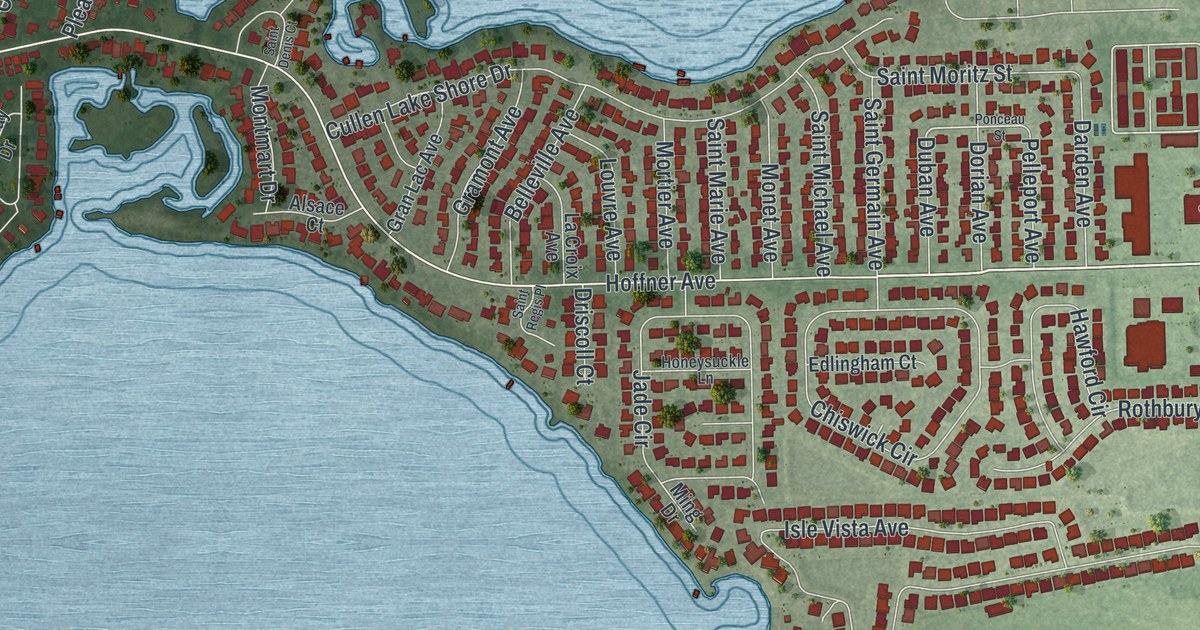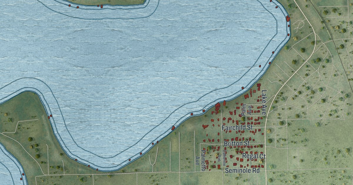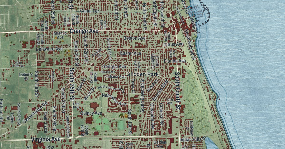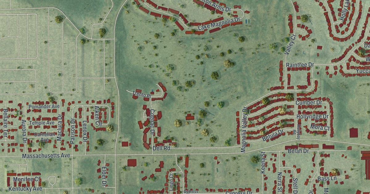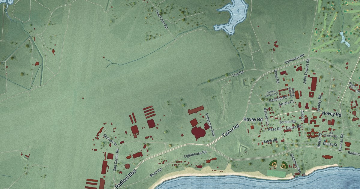
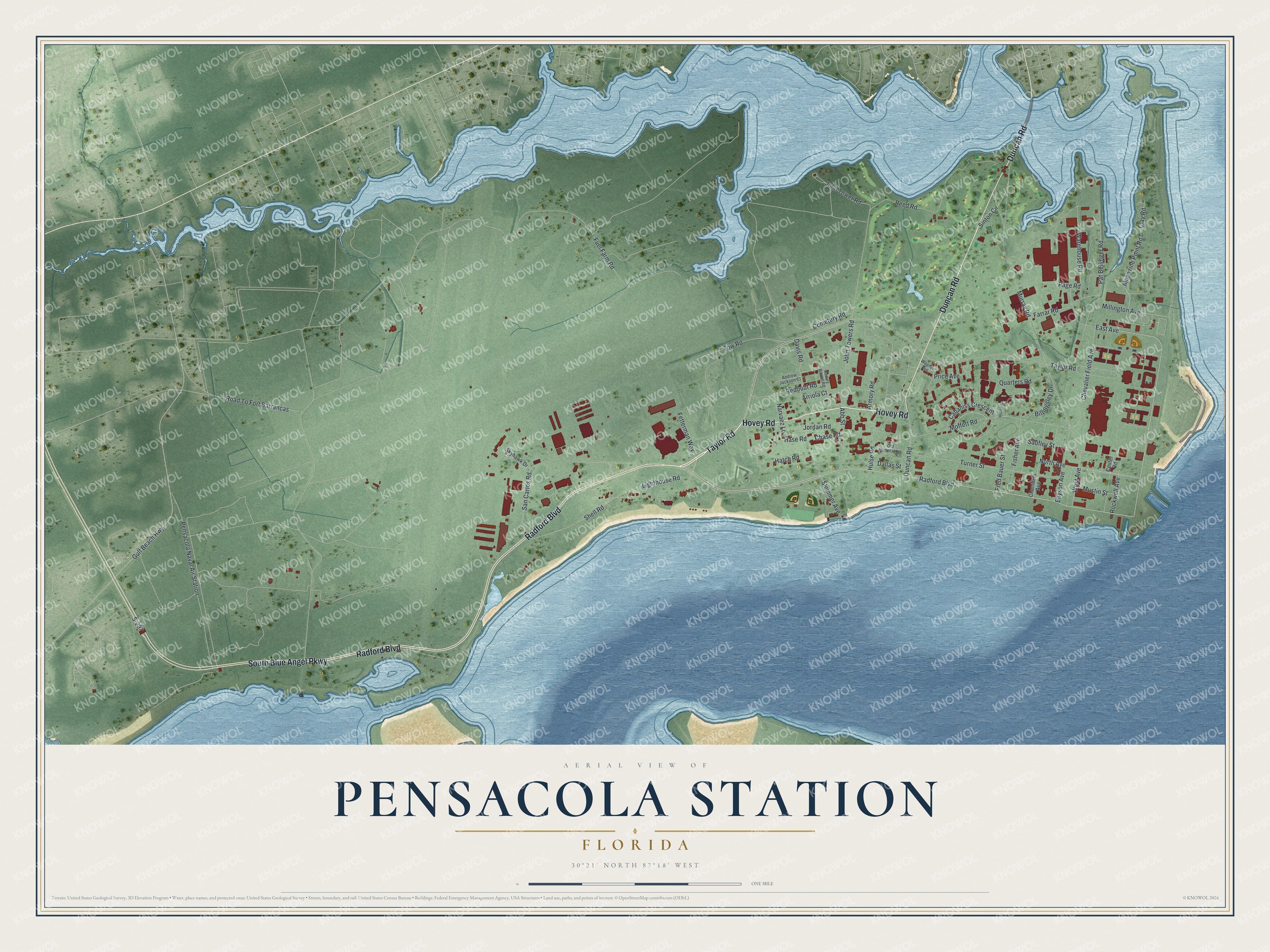
This beautifully detailed map of Pensacola Station, Florida was created in 2026 using aerial imagery combined with modern topographical, census, street and landmark data. It's a modern aerial view of Pensacola Station in Escambia County, Florida, that combines modern data with a vintage aesthetic. The roads feature printed names, and if you look closely you can find your exact house accurately shown in its correct location.
Explore an aerial view of Pensacola Station, Florida
On this map you'll find South Blue Angel Parkway, Taylor Road, Hovey Road, Radford Boulevard, Duncan Road, East Avenue, North Avenue, West Avenue, Clay Road, John Tower Road, Fuel Farm Road, Murray Road, and more. Each red shape is a building, so zoom in on the preview and look for yours.
Every town has a first chapter, and Pensacola Station is no exception. Pensacola Naval Air Station was the first permanent naval air station in the United States, the first Navy pilot training center, and the first naval base to send pilots into combat. It began on the site of the old Pensacola Navy Yard with 6 qualified pilots, 23 enlisted men, 7 seaplanes and a few canvas hangars. The Navy Yard itself went back to March 1824, when Congress approved a naval base at Pensacola, and its workers built the frigates Seminole and Pensacola in the 1850s. That's from the National Register of Historic Places.
Pensacola Station is a community in Escambia County. The Census Bureau counted 5,532 people here in 2020.
Take a closer look at the Pensacola Station map
Names on this map
These names are printed on this map.
Streets and roads: South Blue Angel Parkway, Taylor Road, Hovey Road, Radford Boulevard, Duncan Road, East Avenue, North Avenue, West Avenue, Clay Road, John Tower Road, Fuel Farm Road, Murray Road.
More street names, A to Z
Abb Street, Andrew Jackson Court, Armory Road, Arriola Court, Billingsley Drive, Cabaniss Crescent, Cemetery Road, Center Road, Chambers Avenue, Chase Road, Chevalier Field Avenue, Dallas Street, Davis Road, Ellyson Avenue, Farrar Road, Fetterman Way, Fisher Avenue, Fred Bauer Street, Gulf Beach Highway, Harvey Brown Road, Hase Road, Hatch Road, Hulse Road, John Towers Road, Jordan Road, Lighthouse Road, Magazine Point Road, Millington Avenue, Moffett Road, Mustin Street, Narvaez Lane, Old Hospital Road, Page Road, Pat Bellinger Road, Pensacola Naval Air Station, Price Avenue, Quarters Road, Redoubt Road, Reed Road, Road To Fort Barrancas, Rockwell Avenue, Rodgers Circle, S-297, San Carlos Road, Saufley Street, Shell Road, Sinton Circle, Skyhawk Drive, Slemmer Avenue, Tow Road, Turner Street, Wagner Avenue, Warehouse Road.
See it on a wall
The Pensacola Station map as a framed print. Swipe for more.


Created by KNOWOL in 2026. The buildings are small red shapes, the roads carry their printed names, and shaded relief shows the shape of the land. The title panel reads "AERIAL VIEW OF PENSACOLA STATION, FLORIDA" with 30°21' NORTH 87°18' WEST.
Hang it in the hallway, the office or the cabin, or give it to someone who left Pensacola Station and still calls it home. Open the preview and look for a street you know. See sizes and frames for the Pensacola Station map.