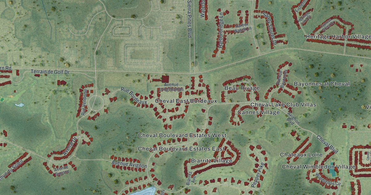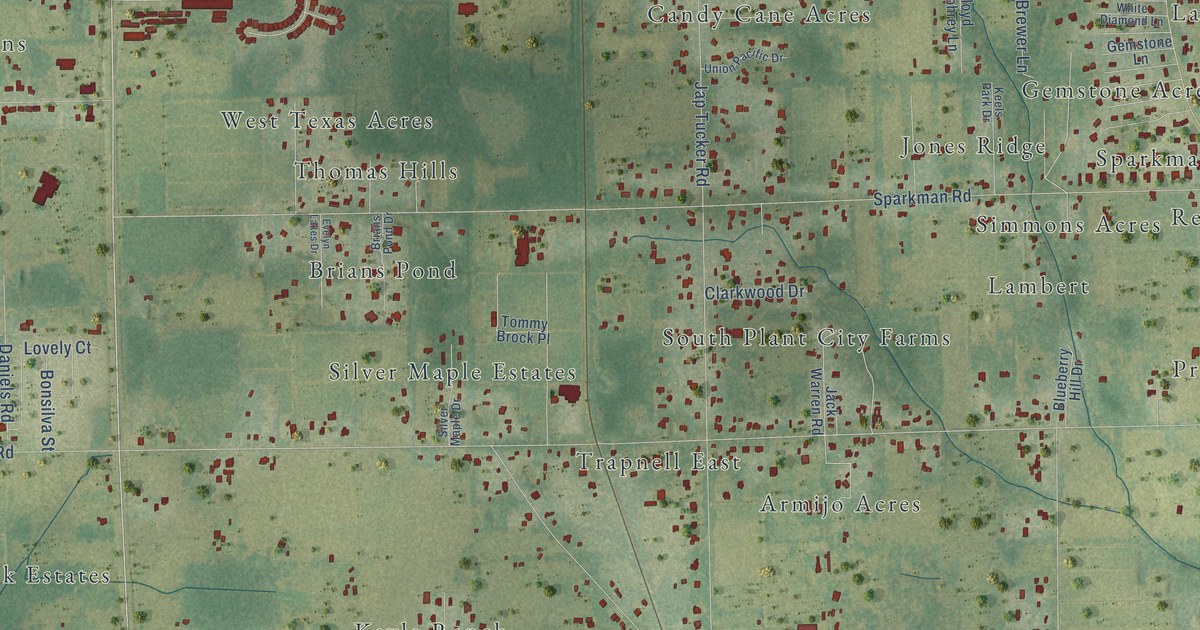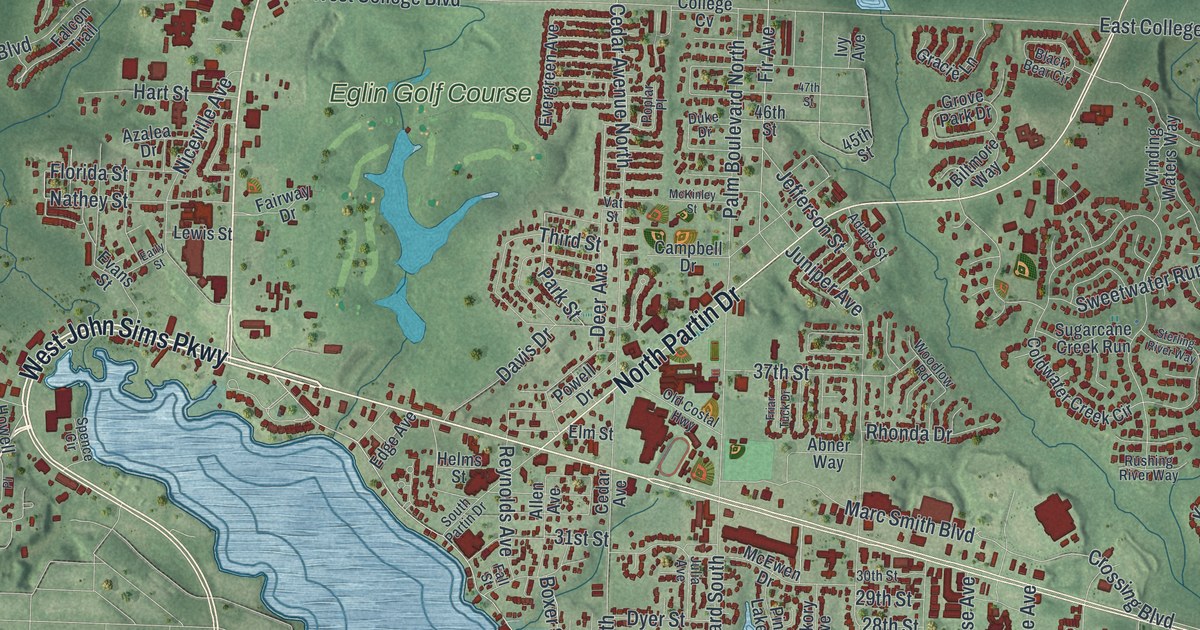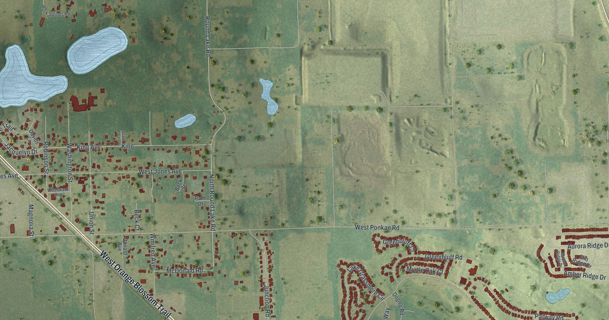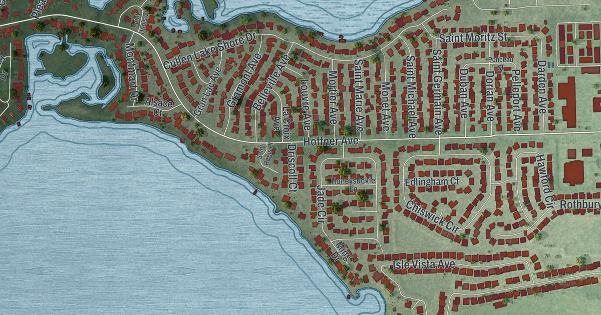
This beautifully detailed map of Belle Isle, Florida was created in 2026 using aerial imagery combined with modern topographical, census, street and landmark data. It’s a one-of-a-kind view of Belle Isle that combines accurate data with a vintage aesthetic. The map shows every building in its true location, many of the roads carry their names, and the shaded topographic relief shows the shape of the land.
Explore an aerial view of Belle Isle, Florida
On the map you’ll find Pine Castle and Warren Park, along with Sand Lake Road, McCoy Road, Hansel Avenue, South Conway Road, Nela Avenue, Seminole Drive, Country Lakes Drive, The Landings Drive, Indian Drive, Hoffner Avenue, and more. If you look closely you can even find your house accurately drawn in its correct location. Zoom in on the preview to look for yours.
Take a closer look at the Belle Isle map
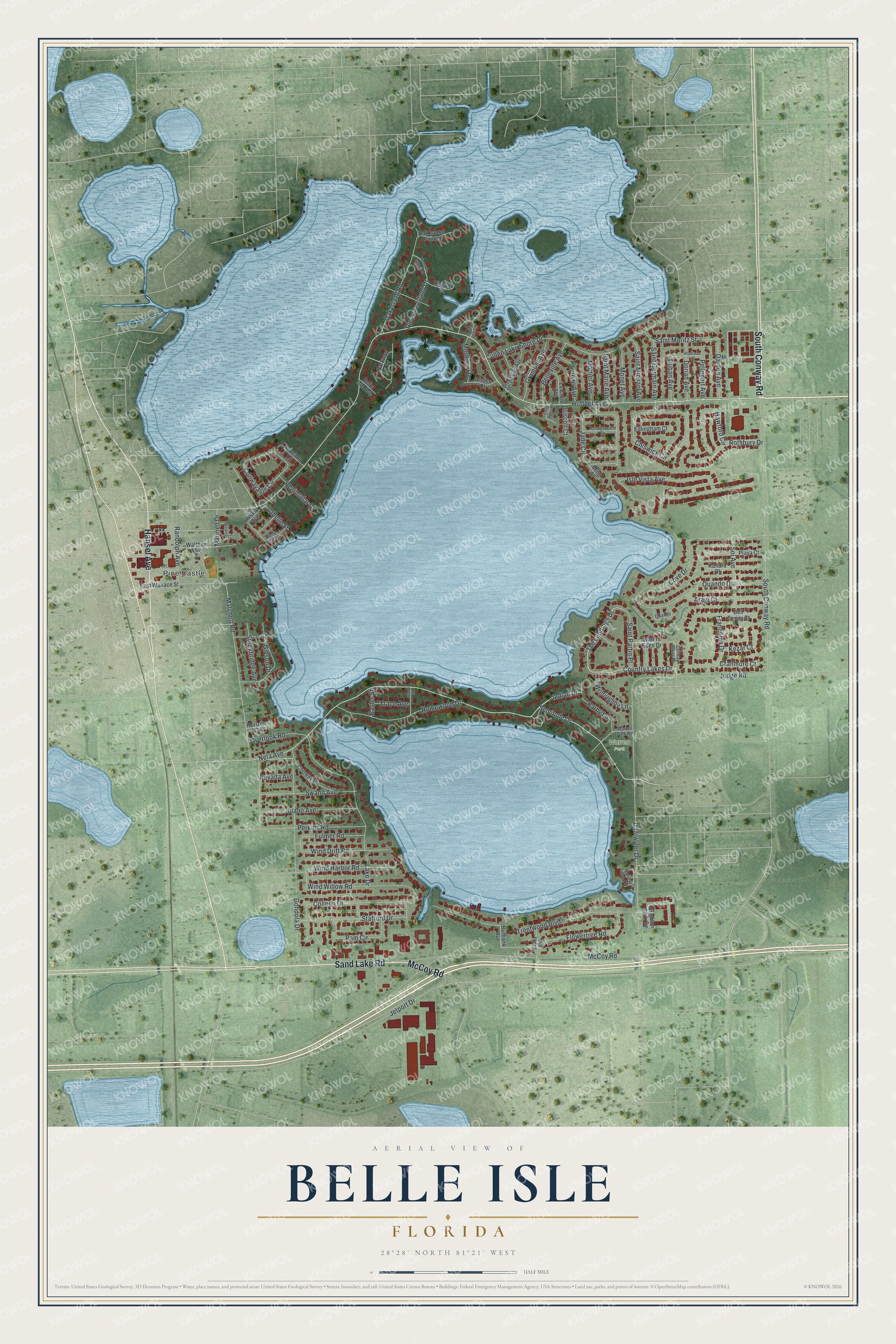
Names on this map
These names are printed on this map.
Places: Pine Castle and Warren Park.
Streets and roads: Sand Lake Road, McCoy Road, Hansel Avenue, South Conway Road, Nela Avenue, Seminole Drive, Country Lakes Drive, The Landings Drive, Indian Drive, Hoffner Avenue, Isle Vista Avenue, Daetwyler Drive.
More street names, A to Z
Alsace Court, Arajo Court, Avocado Lane, Barby Lane, Belle Isle Avenue, Belleville Avenue, Belle Vista Drive, Bell Tower Court, Brighton Park Circle, Burbank Avenue, Chiswick Circle, Colleen Drive, Conway Circle, Conway Isle Circle, Conway Lakes Drive, Cove Drive, Cranmore Court, Cullen Lake Shore Drive, Darden Avenue, Delia Avenue, Dorian Avenue, Driscoll Court, Duban Avenue, Easter Street, East Wallace Street, Edlingham Court, Flowertree Road, Franconia Drive, Fulmer Road, Gibson Drive, Gondola Drive, Gramont Avenue, Gran Lac Avenue, Hawford Circle, Holiday Isle Drive, Homewood Drive, Honeysuckle Lane, Horizon Court, Idaho Avenue, Island Street, Jade Circle, Jetport Drive, Judge Road, Kandra Court, Kezar Court, Kissam Court, Labelle Street, La Croix Avenue, Lake Drive, Louvre Avenue, Marinell Drive, Matchett Road, Ming Drive, Monet Avenue, Montmart Drive, Mortier Avenue, Nevada Avenue, Oak Island Pointe, Oak Island Road, Overlook Road, Pam Circle, Parkway Drive, Pelleport Avenue, Peninsular Drive, Perkins Road, Playa Court, Pleasure Island Drive, Pleasure Island Road, Ponceau Street, Quando Circle, Quando Drive, Randolph Avenue, Rothbury Drive, Saint Denis Court, Saint Germain Avenue, Saint Marie Avenue, Saint Michael Avenue, Saint Moritz Street, Saint Partin Place, Saint Regis Place, Sol Avenue, Stafford Drive, Stockbridge Avenue, Swann Avenue, Trace Avenue, Trentwood Boulevard, Via Flora, Waltham Avenue, Warren Park Road, Waters Edge Drive, Wilks Avenue, Willoughby Lane, Wind Drift Road, Wind Harbor Road, Windmill Court, Wind Willow Road.
See it on a wall
The Belle Isle map as a framed print. Swipe for more.


This beautifully detailed map of Belle Isle makes an attractive addition to your office, library, or den, and it can even be used to teach children the geography and history of the area. It also makes a great gift for someone who left Belle Isle and still calls it home. When you’re done exploring, click here to get your copy of the Belle Isle map.