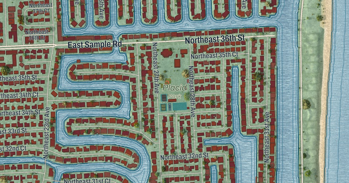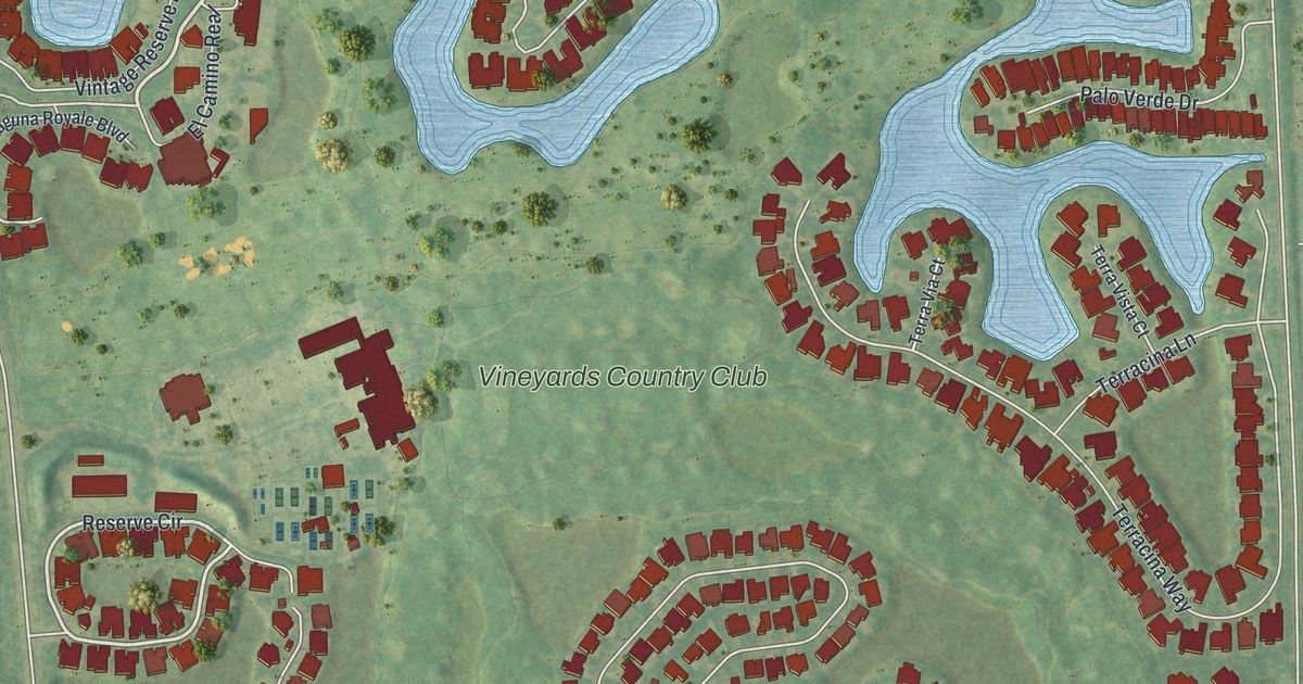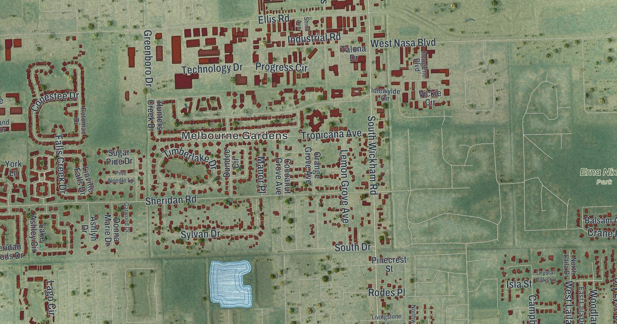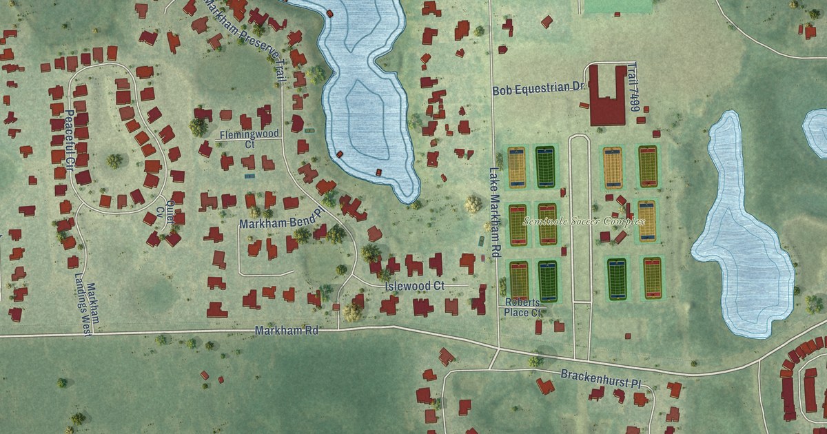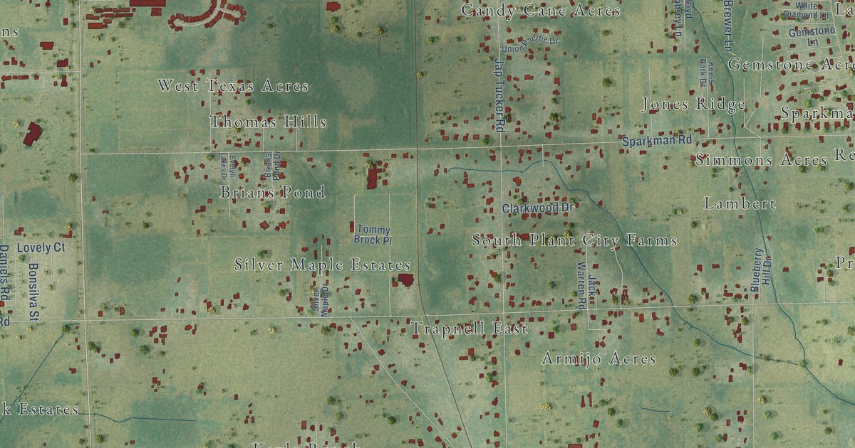
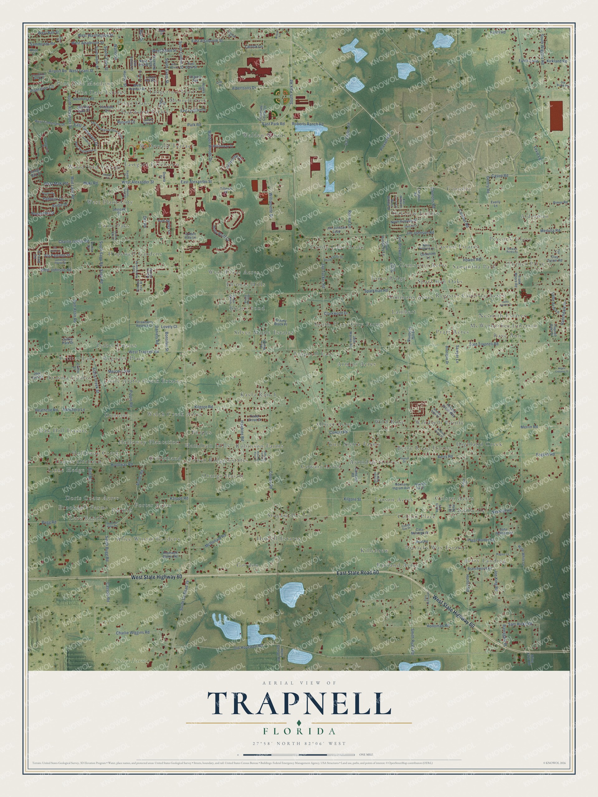
This beautifully detailed map of Trapnell, Florida was created in 2026 using aerial imagery combined with modern topographical, census, street and landmark data. It’s a one-of-a-kind view of Trapnell that combines accurate data with a vintage aesthetic. The map shows every building in its true location, many of the roads carry their names, and the shaded topographic relief shows the shape of the land.
Explore an aerial view of Trapnell, Florida
On the map you’ll find Pine Dale Meadows, Spivey Farms, Berry Landing, Alderman, South Plant City Farms, Gordon, Hopewell Gardens, Brookdale Farms, McWetherbee Junction, Robinson Farms, and Highland Creek, along with Critter Lane, and more. If you look closely you can even find your house accurately drawn in its correct location. Zoom in on the preview to look for yours.
Take a closer look at the Trapnell map
Names on this map
These names are printed on this map.
Places: Pine Dale Meadows, Spivey Farms, Berry Landing, Alderman, Critter Lane, South Plant City Farms, Gordon, Hopewell Gardens, Brookdale Farms, McWetherbee Junction, Robinson Farms, Highland Creek, Walden Woods, Oakview Estates, Avondale Groves, Robichaud, Brians Pond, Woodfield Village, Rutland Acres, Candy Cane Acres, Oak Hill Estates, Alice Winter Gardens, Stockwell, Lambert, Colson Acres, Coronet, Turner Place, Morrell Park, Kayla Ranch, Wild Rose, Trapnell East, Sparkman Oaks, Colson Place, McDonald Terrace, Cowart Acres, Phipps, Isabel Estates, Graves Orchard, Dumont, Orange Haven, Porter Acres, Oliver Acres, Pratt Acres, Doris Coats Acres, Layton Estates, West Texas Acres, Armijo Acres, West Plant City, Jones Ridge, Windmill Pointe, Berry Road Estates, Patricks Way Estates, Piney Oaks, Howell Estates, Parrish, Gemstone Acres, Sytsma Estates, Holloway Creek, Gulf Sierra Farms, Twin Oaks, Peacock Grove, Register Country Acres, Silver Maple Estates, Eastgate Extension, Larson Acres, Little Alafia Creek Estates, Welch Creek Acres, Simmons Acres, Stone Hedge, Hamilton Hills, Oakwood Estates, Samantha Park, Killebrew, Tower Ridge Estates, Bealsville, Tangerine Trails, Holloway Plantation, Register Place, Thomas Hills, Nesmith Estates, Pine Dale Estates, Raye Ann and Lees Ranch.
Streets and roads: East State Road 60, West State Highway 60, Coronet Road, East Alsobrook Street, South Park Road, West Alsobrook Street, West Alexander Street, East Park Road, Maki Road, Park Road, Old Hopewell Road, Charlie Wiggins Road.
More street names, A to Z
Airport Road, Alafia Creek Street, Albertsons Drive, Angels Crossing Court, Apostle Iris Way, Armor Road, Ashentree Drive, Avondale Ridge Drive, Azalea Street, Ball Drive, Baptist Church Road, Beal Road, Berry Road, Bird Road, Blueberry Hill Drive, Bonita Drive, Bonsilva Street, Branchwood Road, Brians Pond Drive, Bridle Drive, Bugg Road, Busciglio Drive, Cameron Road, Camphor Road, Casa Montego Place, Cason Road, Cassels Road, Cedar Drive, Charlie Griffin Road, Clarkwood Drive, Claude Gay Drive, Clay Turner Road, Clemons Road, Colson Road, Coronet Street, Corporate Center Lane, Cowart Road, Curry McCloud Place, Daniels Road, Der Road, Donna Drive, Duffey Park Drive, East Alexander Street, East Drew Street, East Langford Drive, East Sandalwood Drive South, East Timberlane Drive, East Trapnell Road, East Willow Drive, English Road, Evelyn Lakes Drive, Everly Lane, Fair Lane, Frank Moore Road, Futch Loop, Futch Road, Gainer Lane, Gemstone Lane, Gentry Road, Golden Rule Lane, Gray Street, Hawkins Road, Heathcoe Road, Henry George Road, Holland Grove Way, Holloman Road, Holloway Road, Holly Bluff Court, Hopewell Manor Road, Horseshoe Drive, Horton Road, Howell Road, Hunter Street, Ira Taylor Road, Jack Warren Road, Jap Tucker Road, Jerri Lynn Court, Jesscott Drive, Jim Johnson Loop, Jim Johnson Road, Joe King Road, John Jackson Road, Johnson Pointe Drive, Juanita Tip Drive, Julius Street, Juniper Drive, Karppe Road, Keels Park Drive, Kilgore Road, Kilgore Street, Kirkland Road, Larrick Lane, Lexie Lane, Little Acre Lane, Live Oak Drive, Lloyd Humphrey Lane, Lovely Court, McDonald Road, Medulla Road, Mendonsa Road, Mercer Loop, Merrin Road, Miles Farm Road, Mud Lake Road, Nesmith Road, Norman Ingram Avenue, North Pineway Drive, Oak Pointe Place, Oakview Lane, Oakwood Estates Drive, Old Brook Road, Orange Bud Way, Paddock Drive, Park Springs Circle, Peanut Drive, Peggy Walden Circle, Pemberly Park Drive, Pinedale Drive, Pippin Road, Plantation Circle, Plantation Grove Court, Preservation Drive, Prevatt Road, Ragins Lane, Raider Place, Ramsgate Place, Ranchdale Drive, Ranchero Lane, Redbud Circle, Retreat Lane, Rimes Road, Roberts Ranch Road, Robinson Farms Lane, Robinson Pines Lane, Ruby Jo Drive, Russell Drive, Sagebrush Road, Sam Astin Road, Sam Gay Road, Sam Hicks Road, Sammonds Road, Santa Barbara Court, Sapp Road, Sapp Street, Sawyer Lane, Silver Maple Drive, Smith Ryals Road, South Alexander Street, South Bugg Road, South Collins Street, South County Road 39, Southern Oaks Place, South Evers Street, South Gibbs Street, South Joe Armor Road, South Northview Road, South Sapp Road, South Tyler Street, South Walker Street, South Wiggins Road, Sparkman Road, Stewart Acres Lane, Strawberry Place, Strawberry Reserve Lane, Sweet Bay Court, Tillman Place, Tom Brewer Lane, Tommy Brock Place, Tower Grove Drive, Trapnell Oaks Drive, Union Pacific Drive, Via Chianti Street, Via Palermo Street, Via Siena Street, Virginia Avenue, Walden Oaks Place, Walden Woods Drive, Waller Street, West Ball Street, West Bates Street, West Drew Street, West Grant Street, West Johnson Road, West Lee Street, West Maki Road, West Prosser Drive, West Sandalwood Drive, West Timberlane Drive, West Trapnell Road, West Washington Street, West Willow Drive, White Diamond Lane, Wilkins Avenue, Williamette Drive, Willie White Lane, Wiltonway Drive, Windmill Pointe Drive, Windmill Ridge Road, Wood Court.
See it on a wall
The Trapnell map as a framed print. Swipe for more.


This beautifully detailed map of Trapnell makes an attractive addition to your office, library, or den, and it can even be used to teach children the geography and history of the area. It also makes a great gift for someone who left Trapnell and still calls it home. When you’re done exploring, click here to get your copy of the Trapnell map.