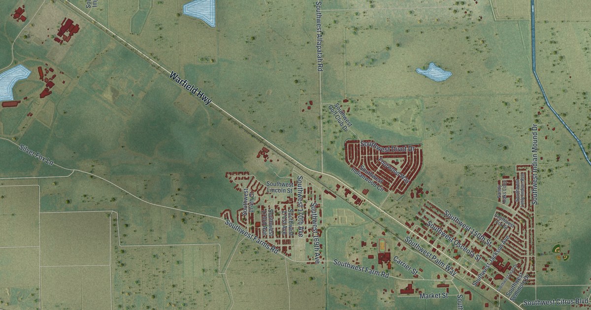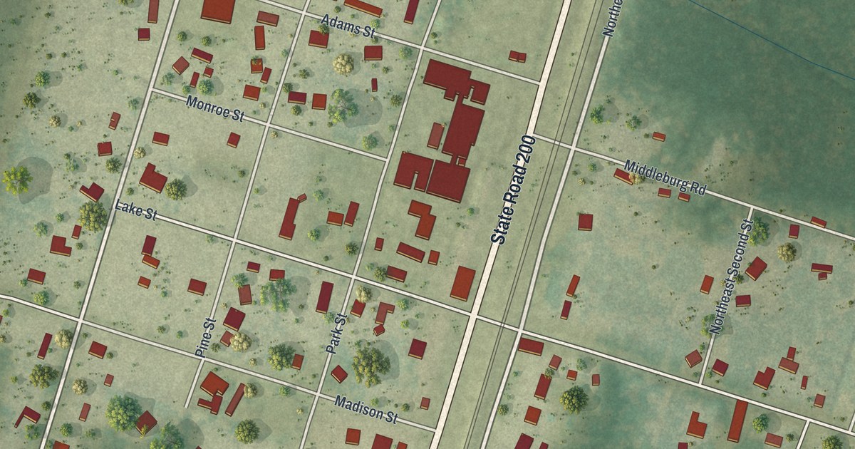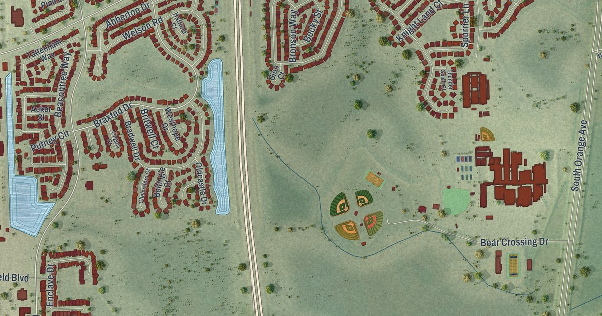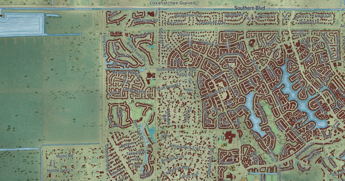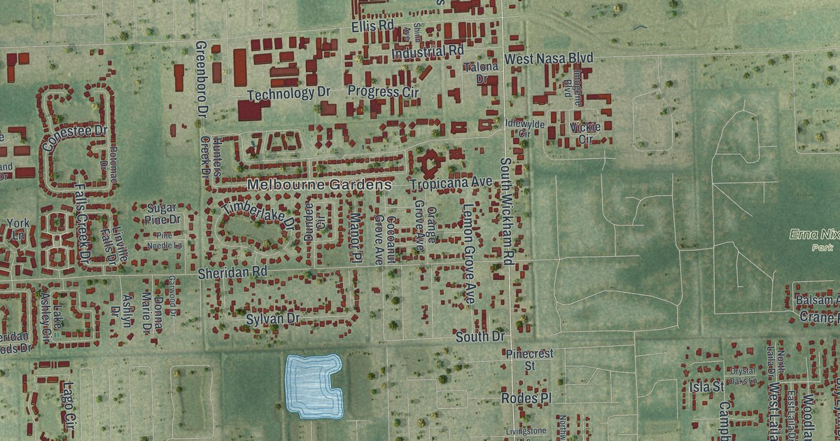
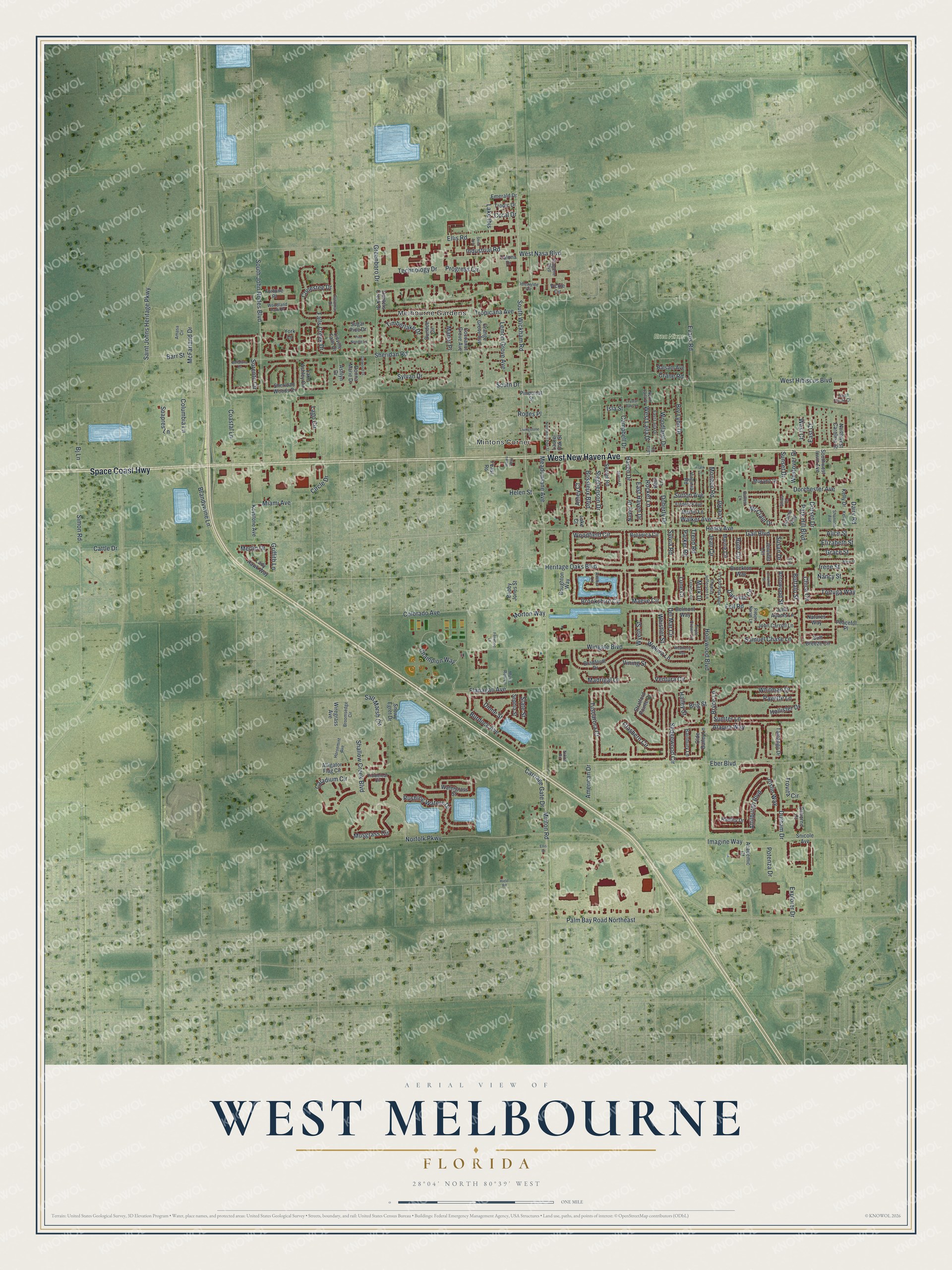
This beautifully detailed map of West Melbourne, Florida was created in 2026 using aerial imagery combined with modern topographical, census, street and landmark data. It’s a one-of-a-kind view of West Melbourne that combines accurate data with a vintage aesthetic. The map shows every building in its true location, many of the roads carry their names, and the shaded topographic relief shows the shape of the land.
Explore an aerial view of West Melbourne, Florida
On the map you’ll find Melbourne Gardens, Mintons Corner, and Erna Nixon Park, along with Space Coast Highway, New Haven Avenue, Lago Circle, Laila Drive, Henry Avenue, and more. If you look closely you can even find your house accurately drawn in its correct location. Zoom in on the preview to look for yours.
Did You Know?
Voters created the city of West Melbourne in 1959. They wanted to stop their area from being annexed by its bigger neighbor. For decades the city ran on fees alone. It charged property taxes for the first time in 2005.
Take a closer look at the West Melbourne map
Names on this map
These names are printed on this map.
Places: Melbourne Gardens, Mintons Corner and Erna Nixon Park.
Streets and roads: Space Coast Highway, West New Haven Avenue, Lago Circle, West Laila Drive, Henry Avenue, Dorchester Avenue, Shallow Creek Boulevard, Woodfield Circle, Isla Street, Slate Street, Hollywood Boulevard, Minton Road.
More street names, A to Z
Academic Court, Adamo Way, Alaqua Way, Alice Street, Alligator Flag Circle, Amasa Circle, American Drive, Anchor Lane, Arrowood Street, Ashlyn Drive, Athey Court, Attilburgh Boulevard, Bainbury Lane, Balsam Avenue, Barr Street, Bellaluna Drive, Belmont Way, Beth Lane, Bj Lane, Bobby Jones Street, Bossieux Boulevard, Botanica Circle, Boughton Way, Bradfordt Drive, Brandywine Lane, Brig Street, Brockton Way, Brookshire Circle, Broomsedge Circle, Bryce Lane, Bry Lynn Drive, Buffalo Street, Buffett Lane, Burdock Avenue, Caladium Circle, Campbell Drive, Carriage Gate Drive, Cattle Drive, Champion Way, Chica Circle, Circle Drive, Coastal Lane, Cocoanut Grove Avenue, Colorado Avenue, Columbia Lane, Conestee Drive, Coral Drive, Crane Road, Crockett Street, Crystal Oaks Lane, Dairy Road, Danville Circle, Del Mar Circle, Dione Street, Doherty Drive, Donna Marie Drive, Dorset Drive, Dundee Circle, Durham Drive, East Court, East Haven Drive, East Laila Drive, Eber Boulevard, Elizabeth Street, Ellis Drive, Ellis Road, Emerald Drive, Evans Road, Explorer Drive, Falls Creek Drive, Feast Road, Fell Road, Fellwood Lane, Fiddleleaf Circle, Flanagan Avenue, Fortune Place, Frank Lane, Frederick Avenue, Gail Boulevard, Garwood Drive, Glasbern Circle, Grace Street, Greenboro Drive, Griffith Lane, Hailey Street, Haven Drive, Helen Street, Heritage Oaks Boulevard, Hield Road, Hollister Drive, Horsemint Avenue, Hunters Creek Drive, Idlewylde Circle, Imagine Way, Imogene Boulevard, Industrial Road, Irene Street, Jean Circle, Jennifer Circle, John Adams Lane, John Carroll Lane, John Hancock Lane, Joslin Way, Kelly Drive, Kelly Lane, Keystone Avenue, Lady Hawk Way, Laila Court, Lake Ashley Circle, Lake Court, Lake Ibis, Laurel Oak Street, Lee Court, Lee Road, Lemon Grove Avenue, Linville Falls Drive, Livingstone Lane, Lune Court, Madrigal Lane, Maeve Circle, Manor Place, Mark Drive, Marnie Circle, Martin Lane, Mary Street, McClain Drive, McFarland Drive, Meadowlane Avenue, Merlin Drive, Miami Avenue, Monaco Road, Morton Way, Murano Drive, Musgrass Circle, Music Row Lane, Nancy Street, Natures Way, Naylor Drive, Nikon Road, Norfolk Parkway, North Laila Drive, Northwest Carolina Street, Northwest Pine Street, Olde Bailey Lane, Orange Grove Avenue, Osborne Court, Palm Bay Road Northeast, Parker Road, Park Hill Boulevard, Payette Lane, Peaceful Place, Pinecrest Street, Pine Needle Lane, Potenza Drive, Potomac Drive, Progress Circle, Radley Drive, Robert Norris Lane, Rocket Lane, Rodes Place, Rushing Waters Drive, Ruth Circle, Saint Johns Heritage Parkway, Salt Marsh Circle, Samuel Chase Lane, San Paulo Court, Secret Road, Sedgewood Circle, Sephia Street, Serene Place, Shannon Avenue, Sheridan Road, Sheridan Woods Drive, Shinn Avenue, Simon Road, Sirius Court, Snicole Avenue, Snowy Egret Drive, Soft Breeze Circle, Sorento Circle, South Drive, South John Rodes Boulevard, Southwest Irwin Avenue, South Wickham Road, Stephenson Drive, Stratford Pointe Drive, Suapres Lane, Sugar Pine Drive, Sumter Lane, Sunset Drive, Susan Drive, Sutton Avenue, Sylvan Drive, Sylvia Road, Tallwood Circle, Talona Drive, Tamango Drive, Technology Drive, Thomas Jefferson Lane, Timberlake Drive, Tortuga Way, Trend Road, Triple Crown Lane, Tropicana Avenue, Tropic Drive, Trovita Circle, Tuscarora Court, Ventura Circle, Vickie Circle, Vining Street, Virginia Road, Walker Avenue, Watergrass Street, Wawa Way, Weatherly Avenue, Wekiva Lane, West Court, West Hibiscus Boulevard, West Nasa Boulevard, Westover Drive, Whistler Street, Whitman Drive, Wingate Boulevard, Wiregrass Avenue, Woodland Drive, Woodland Park Drive, Wyeth Street, York Lane.
See it on a wall
The West Melbourne map as a framed print. Swipe for more.


This beautifully detailed map of West Melbourne makes an attractive addition to your office, library, or den, and it can even be used to teach children the geography and history of the area. It also makes a great gift for anyone who grew up in West Melbourne or moved away. When you’re done exploring, click here to get your copy of the West Melbourne map.