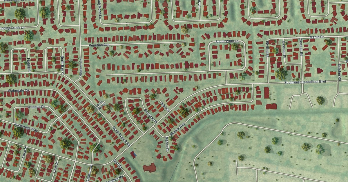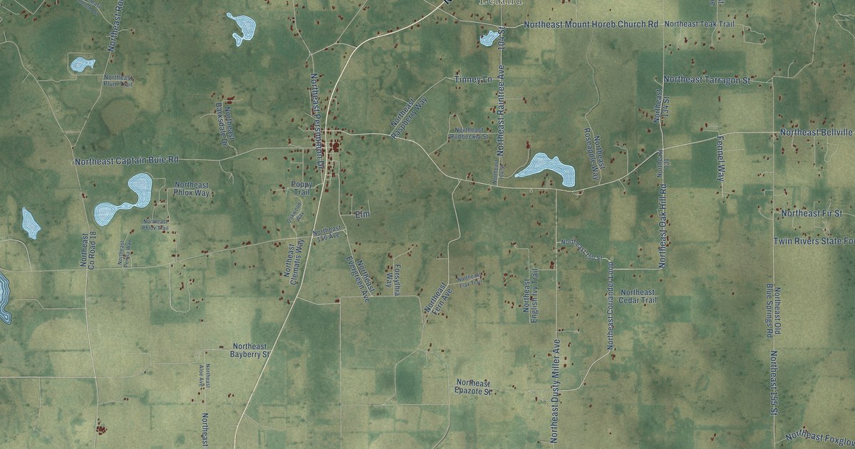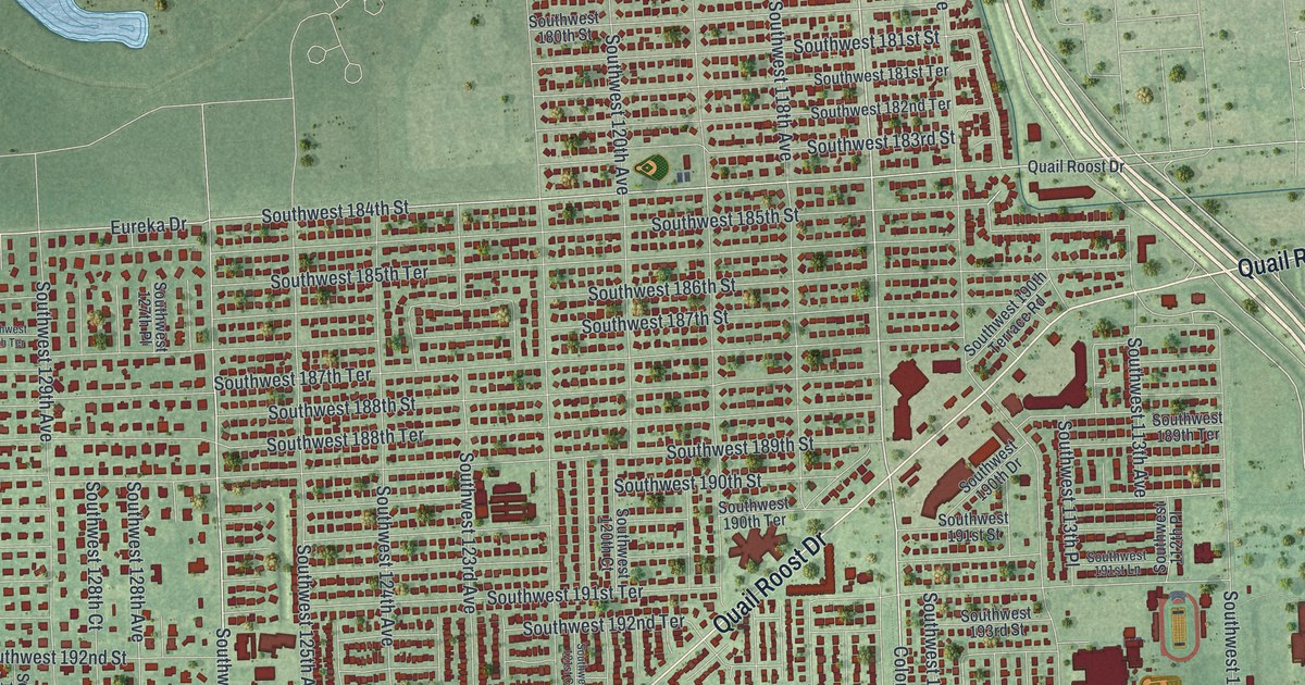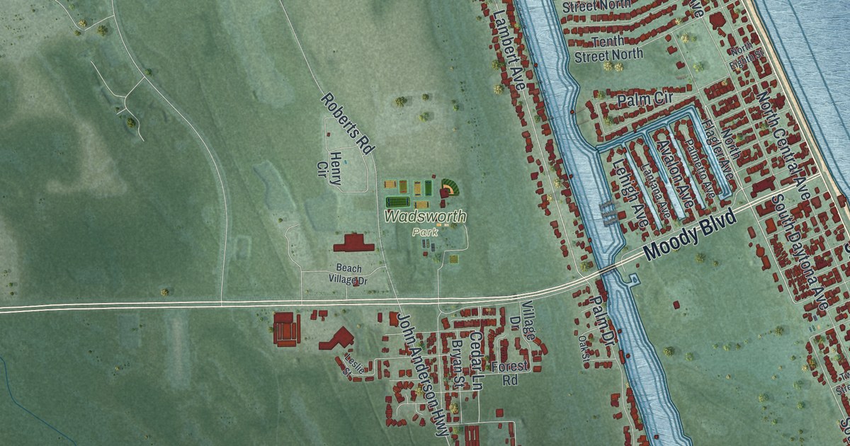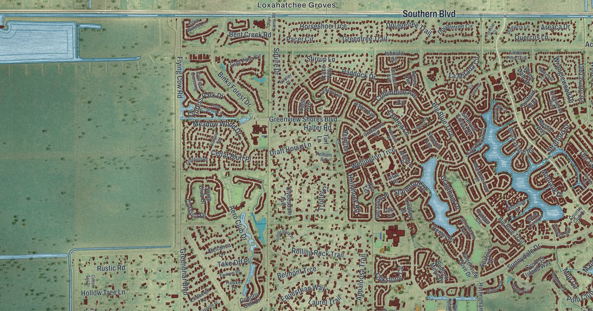
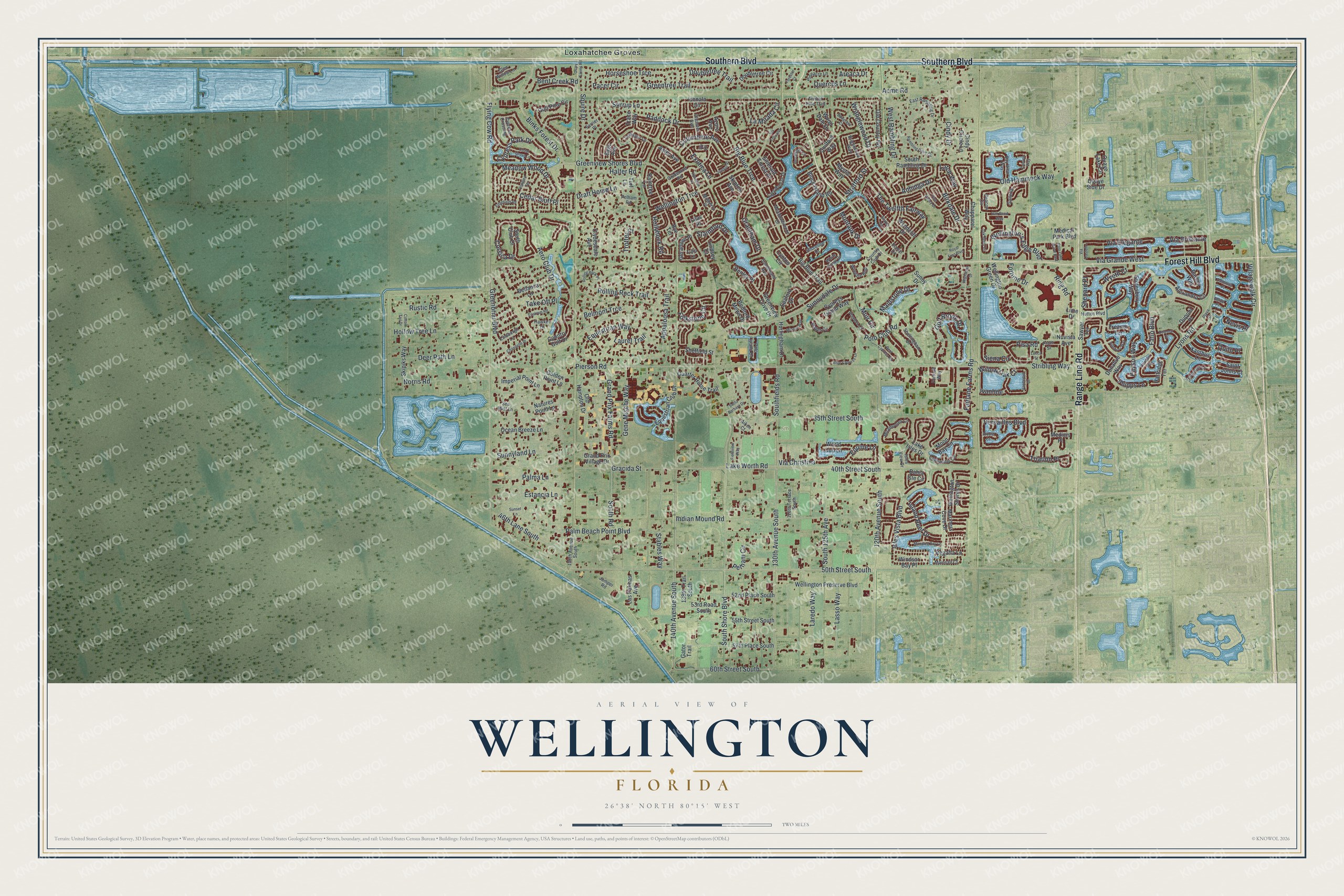
This beautifully detailed map of Wellington, Florida was created in 2026 using aerial imagery combined with modern topographical, census, street and landmark data. It’s a one-of-a-kind view of Wellington that combines accurate data with a vintage aesthetic. The map shows every building in its true location, many of the roads carry their names, and the shaded topographic relief shows the shape of the land.
Explore an aerial view of Wellington, Florida
On the map you’ll find Loxahatchee Groves, along with Forest Hill Boulevard, Southern Boulevard, Range Line Road, Wellington’s Edge Boulevard, Lyons Road, and more. If you look closely you can even find your house accurately drawn in its correct location. Zoom in on the preview to look for yours.
Did You Know?
In the 1950s, accountant Charles Oliver Wellington bought about 18,000 acres of Palm Beach County swampland. He was also a pilot, and his initials spelled cow, so he called it the Flying Cow Ranch. Farmers later grew strawberries on about 2,000 acres. It was billed as the largest strawberry patch in the world.
Take a closer look at the Wellington map
Names on this map
These names are printed on this map.
Places: 5th and Loxahatchee Groves.
Streets and roads: Forest Hill Boulevard, Southern Boulevard, Range Line Road, Wellington's Edge Boulevard, Lyons Road, Via Grande West, West Rambling Drive, Aero Club Drive, South Shore Boulevard, Wellington Trce, Flying Cow Road, 50th Street South.
More street names, A to Z
35th Street South, 40th Street South, 46th Lane South, 52nd Place South, 53rd Road South, 55th Street South, 57th Place South, 60th Street South, 120th Avenue South, 128th Terrace South, 130th Avenue South, 138th Trail South, 140th Avenue South, 150th Avenue South, Acme Road, Aiken Court, Alexandra Circle, Anhinga Drive, Appaloosa Trail, Arcole Court, Areaca Drive, Aster Avenue, Azure Avenue, Bahia Isle Circle, Balsan Way, Bay View Way, Beacon Circle, Bedford Mews Drive, Belize Place, Bellanca Lane, Belmont Trce, Bent Creek Road, Bent Cypress Road, Big Blue Trail, Big Blue Trce, Binks Forest Drive, Birkdale Drive, Block Island Road, Blue Cypress Lane, Brightwood Way, Canyon Way, Cedar Bluff Place, Cedar Grove Lane, Chandelle Place, Chapparel Way, Cindy Circle Lane, Cindy Drive, Clydesdale Avenue, Columbine Avenue, Corsica Drive, Cotton Tail Drive, Country Club Drive, Country Golf Drive, Cypress Crossing, Cypress Island Way, Cypress Park Drive, Deer Path Lane, Delemar Court, Dominica Place, Donahue Way, Donlin Drive, Doubletree Circle, Doubletree Trail, Draft Horse Lane, Dupont Place, East Rambling Drive, Edgefield Road, Edgewater Circle, Emerald Forest Drive, Enstrom Road, Equestrian Club Drive, Equestrian Way, Equine Lane, Estancia Lane, Exotica Lane, Fairlane Farms Road, Farrier Place, Fatio Boulevard, Fieldview Way, Folkstone Circle, Forester Court, Fortune Drive, Fortune Way, Galleria, Gator Trail, Gene Mische Way, Geranium Place, Glen Willow Lane, Golden Point Lane, Goldenrod Road, Golf Brook Drive, Gracida Street, Grand Prix Farms Road, Grand Prix Village Drive, Grantham Drive, Greenbriar Boulevard, Greentree Trail, Greenview Cove Drive, Greenview Shores Boulevard, Guilford Way, Gulf Pine Circle, Halter Road, Hamblin Way, Hartridge Terrace, Hawker Lane, Headwater Circle, Henley Place, Hollow Tree Lane, Hollyhock Road, Horseshoe Trce, Hurlingham Drive, Hutton Boulevard, Hyacinth Place, Imperial Point Lane, Indian Mound Road, Ishnala Circle, Island Reef Drive, Isles View Drive, Isles Vista Boulevard, Ivanhoe, Ivy Drive, Jonquil Place, Jumper Road, Lake Breeze Drive, Lake Isles Drive, Lake Worth Road, La Mirada Circle, Larch Way, Laredo Way, Larkspur Lane, Las Palmas Avenue, Lasso Way, Laurel Trail, Lilac Place, Lime Drive, Lindbergh Lane, Lindsey Court, Longlea Terrace, Lucca Street, Lynton Circle, Maidstone Drive, Mainsail Court, Mallet Circle, Manatee Bay Lane, Mariners Cove Drive, Meadowbreeze Drive, Meadow Wood Drive, Medical Park Boulevard, Medicis Place, Miramontes Circle, Mizner Way, Montauk Drive, Moon Bay Circle, Muir Circle, Mulberry Place, Mystic Way, Natures Point Lane, Nevis Place, Norris Road, Nuvista Avenue, Oak Bend Way, Oak Berry Circle, Ocean Breeze Lane, Old Country Road, Old Hammock Way, Old Hampton Drive, Oleaster Avenue, Osley Farms Road, Pacer Circle, Paddock Drive, Palma Lane, Palm Beach Point Boulevard, Payson Way, Pelham Circle, Pelham Road, Phipps Lane, Pierson Road, Pillsbury Way, Pineacre Lane, Pine Valley Drive, Pisa Road, Playa Drive, Players Court, Polo Club Road, Polo Island Drive, Polo Lake Drive East, Prato Street, Quarter Horse Trail, Quaye Lake Circle, Quaye Side Drive, Quercus Lane, Quito Place, Raintree Lane, Rambling Drive Circle, Regatta Lane, Ring Road, Rolling Rock Place, Rolling Rock Trail, Royal Fern Boulevard, Rustic Road, Rye Terrace, Sage Avenue, Saint Johns Court, Santa Barbara Drive, Sawgrass Court, Sawyer Terrace, Seaford Drive, Sea Mist Lane, Shaker Circle, Sheffield Street, Sheltingham Drive, Shepard Place, Shoreline Drive, Siena Circle, Skipiks Way, Skipton Avenue, South 125th Avenue, South Club Drive, Southfields Road, South Rambling Drive, South Road, Squire Drive, Stables Way, Staimford Drive, Stirrup Lane, Stotesbury Way, Stratford Street, Stribling Way, Sunderland Avenue, Sunnydale Drive, Sunny Drive, Sunnyland Lane, Sunset Lane, Take Off Place, The Twelfth Fairway, Timber Pine Trail, Trace Way, Treanor Terrace, Trianon Place, Trotter Court, Tulip Lane, Turf Lane, Vanderbilt Drive, Verdmont Lane, Versailles Boulevard, Via Brilliante, Via Castello, Via Christina, Via Elegante, Via Toscana, Villagewalk Circle, Wellington Green Drive, Wellington Preserve Boulevard, Wellington Shores Drive, White Coral Drive, Wightman Drive, Willow Oak Court, Windsor Bay Place, Wingate Bnd, Wood Dale Drive, World Cup Lane, Wranglewood Drive, Wyeth Court, Wyndcliff Drive, Xanthus Lane.
See it on a wall
The Wellington map as a framed print. Swipe for more.


This beautifully detailed map of Wellington makes an attractive addition to your office, library, or den, and it can even be used to teach children the geography and history of the area. It also makes a great gift for anyone who grew up in Wellington or moved away. When you’re done exploring, click here to get your copy of the Wellington map.