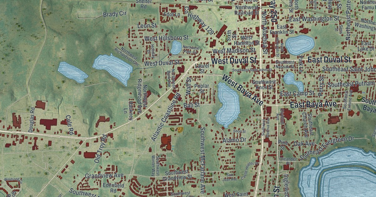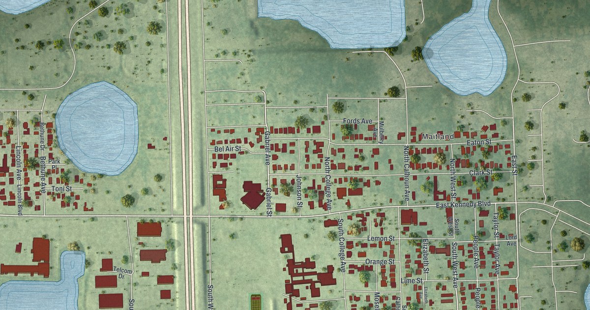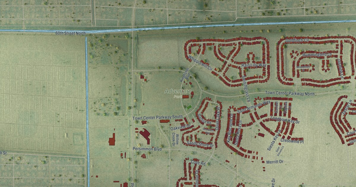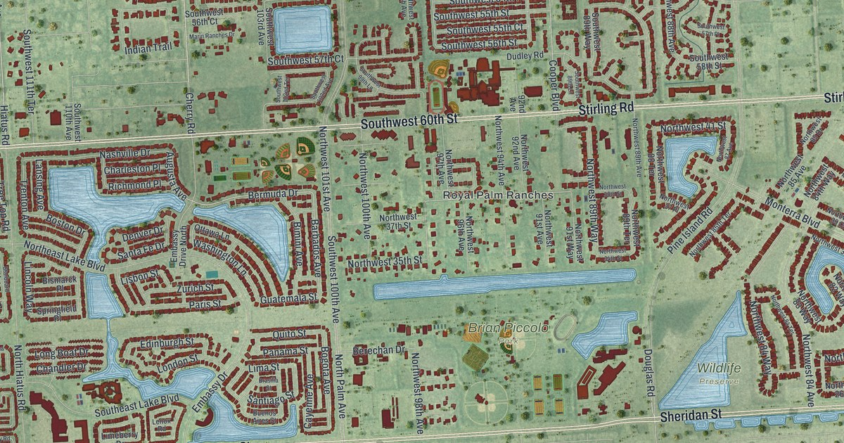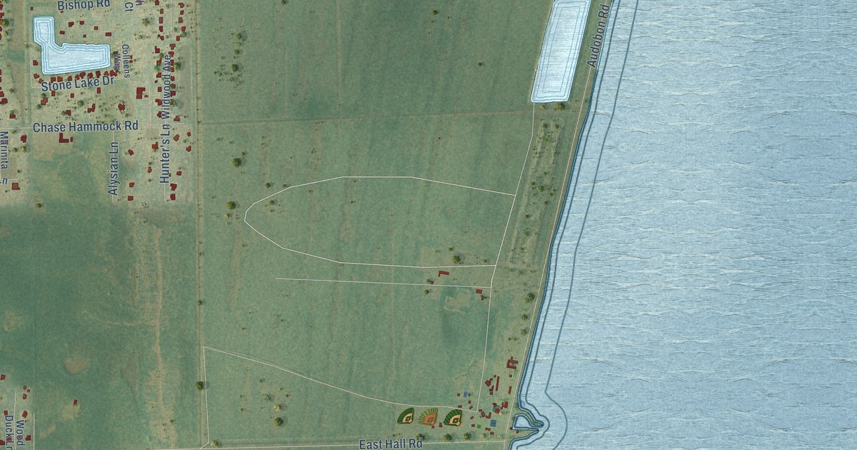
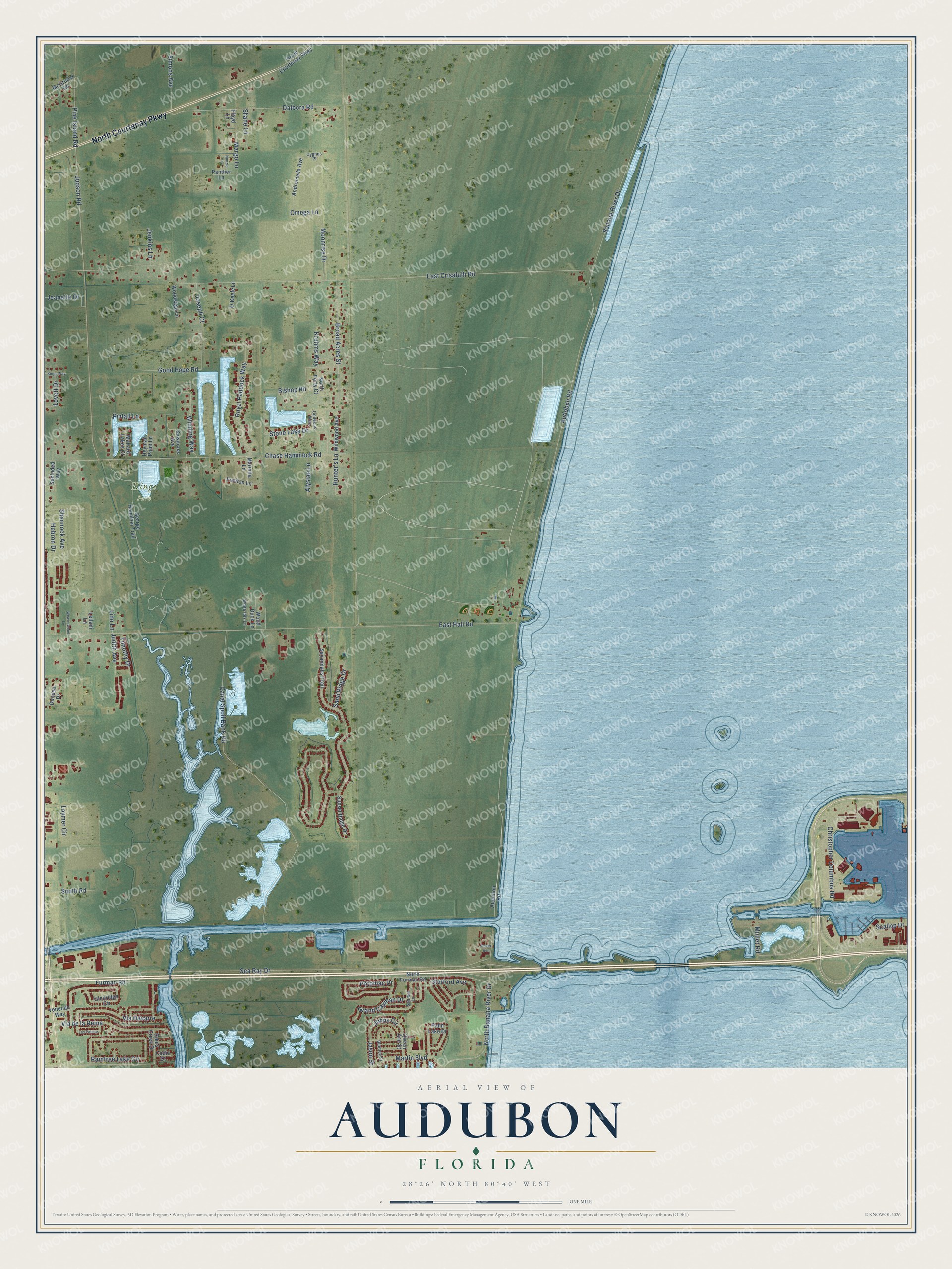
This beautifully detailed map of Audubon, Florida was created in 2026 using aerial imagery combined with modern topographical, census, street and landmark data. It’s a one-of-a-kind view of Audubon that combines accurate data with a vintage aesthetic. The map shows every building in its true location, many of the roads carry their names, and the shaded topographic relief shows the shape of the land.
Explore an aerial view of Audubon, Florida
On the map you’ll find Kings Park, along with North Courtenay Parkway, Johns Circle, Audobon Road, East Crisafulli Road, East Hall Road, Sea Ray Drive, Canal Spoil Bank Road, Christopher Columbus Road, Judson Road, Banana River Drive, Chase Hammock Road, and more. If you look closely you can even find your house accurately drawn in its correct location. Zoom in on the preview to look for yours.
Did You Know?
From Internet Archive: "Petersburg Audubon Society and societies in other near-by cities, a chain of bird sanctuaries have been established through Pinellas County."
Audubon is a community in Brevard County.
Take a closer look at the Audubon map
Names on this map
These names are printed on this map.
Places: Kings Park.
Streets and roads: North Courtenay Parkway, Johns Circle, Audobon Road, East Crisafulli Road, East Hall Road, Sea Ray Drive, Canal Spoil Bank Road, Christopher Columbus Road, Judson Road, Banana River Drive, Chase Hammock Road, Hebron Drive.
More street names, A to Z
Alysian Lane, Andromeda Avenue, Audubon Road, Bentley Street, Bishop Road, Broad Acres Street, Cadiz Court, Colleens Way, Cygnus Place, Dalbora Road, Dover Avenue, Dundee Drive, Environ Lane, Floyd Lane, Furman Road, George Hamilton Trail, Glenridge Circle, Good Hope Road, Grand Cayman Drive, Heyman Point Lane, Hunter's Lane, Jason Street, Jeanette Drive, Jenkins Lane, Joseph Court, Judith Avenue, Kings Way, Kruhms Way, Las Palmas, Leilani Lane, Linn Lane, Lovett Drive, Loymer Circle, Mallard Lakes Court, Margo Lane, Marinita Lane, Martin Boulevard, McGruder Road, Moonrise Drive, Mullet Road, North Banana River Drive, North Forty Court, North Furman Road, Nunzio Lane, O'Keefe Lane, Omega Lane, Palm Lake Drive, Panther Lane, Pine Island Road, Pintail Lane, Potomac Drive, Queen Ann Street, Raintree Lake Circle, Royal Paddock Way, Sand Ridge Drive, Sanibel Lane, Savannahs Trail, Sawgrass Avenue, Scallop Drive, Secluded Way, Shane Lane, Shannock Avenue, Simons Avenue, Smith Road, Stafford Avenue, Stone Lake Drive, Sunset Ridge Drive, Sykes Creek Drive, Timothy Drive, Venetian Way, Via de la Reina, Via Havarre, Weaverwood Lane, White Ibis Lane, Wildwood Avenue, Winding Way, Wood Duck Lane, Woodsage Lane.
See it on a wall
The Audubon map as a framed print. Swipe for more.


This beautifully detailed map of Audubon makes an attractive addition to your office, library, or den, and it can even be used to teach children the geography and history of the area. It also makes a great gift for anyone with Audubon roots. When you’re done exploring, click here to get your copy of the Audubon map.