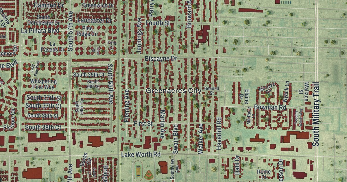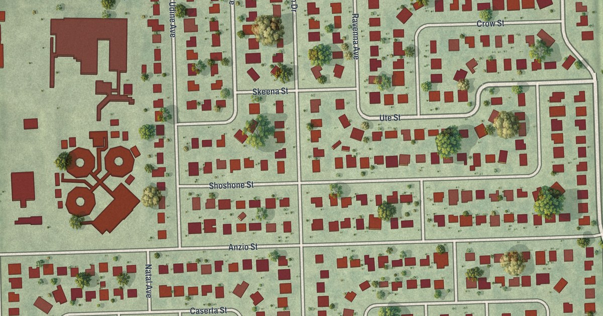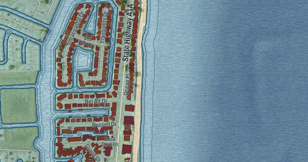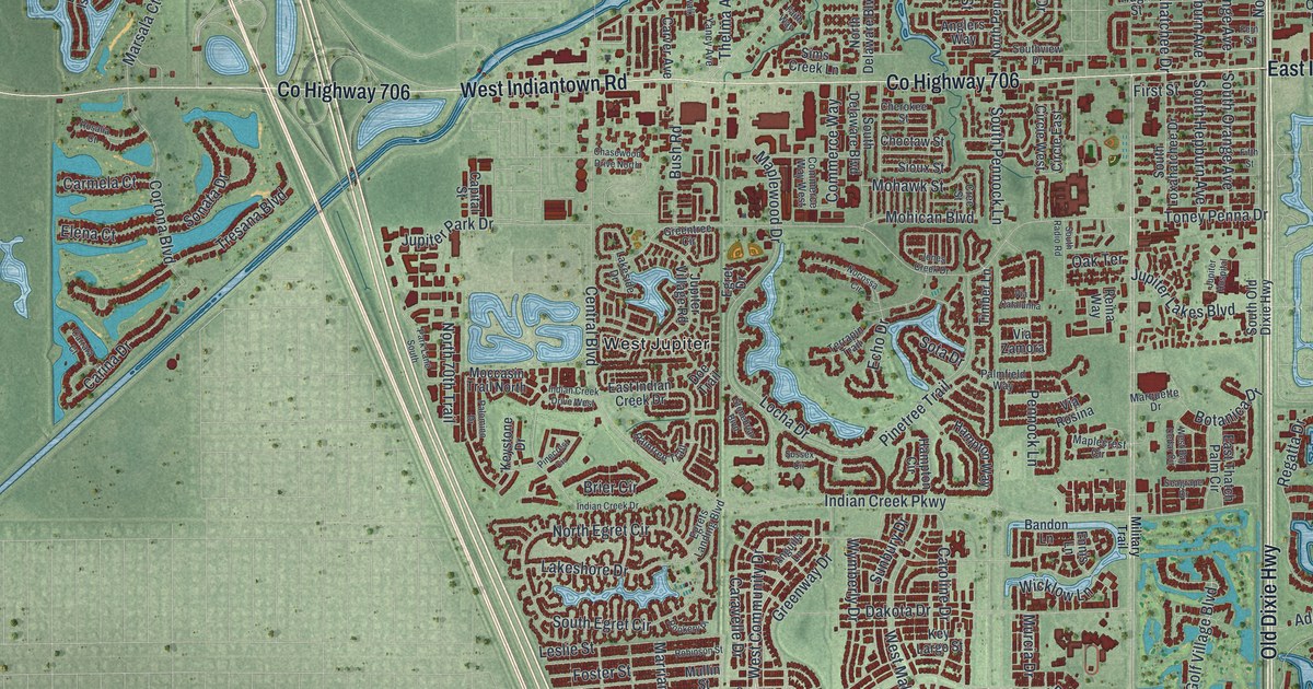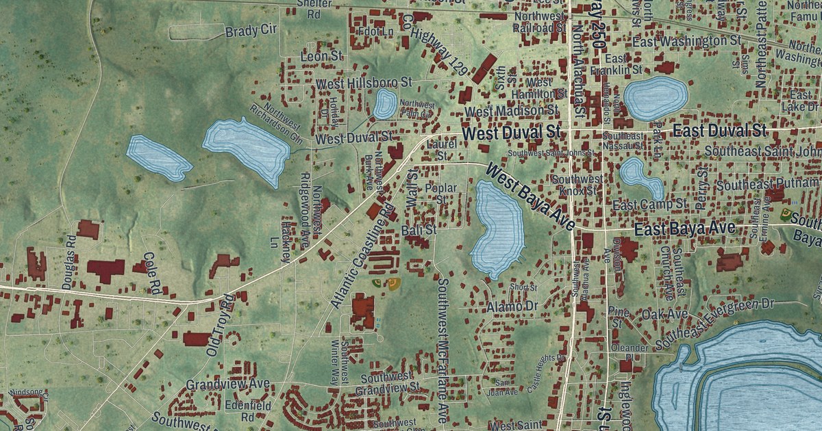
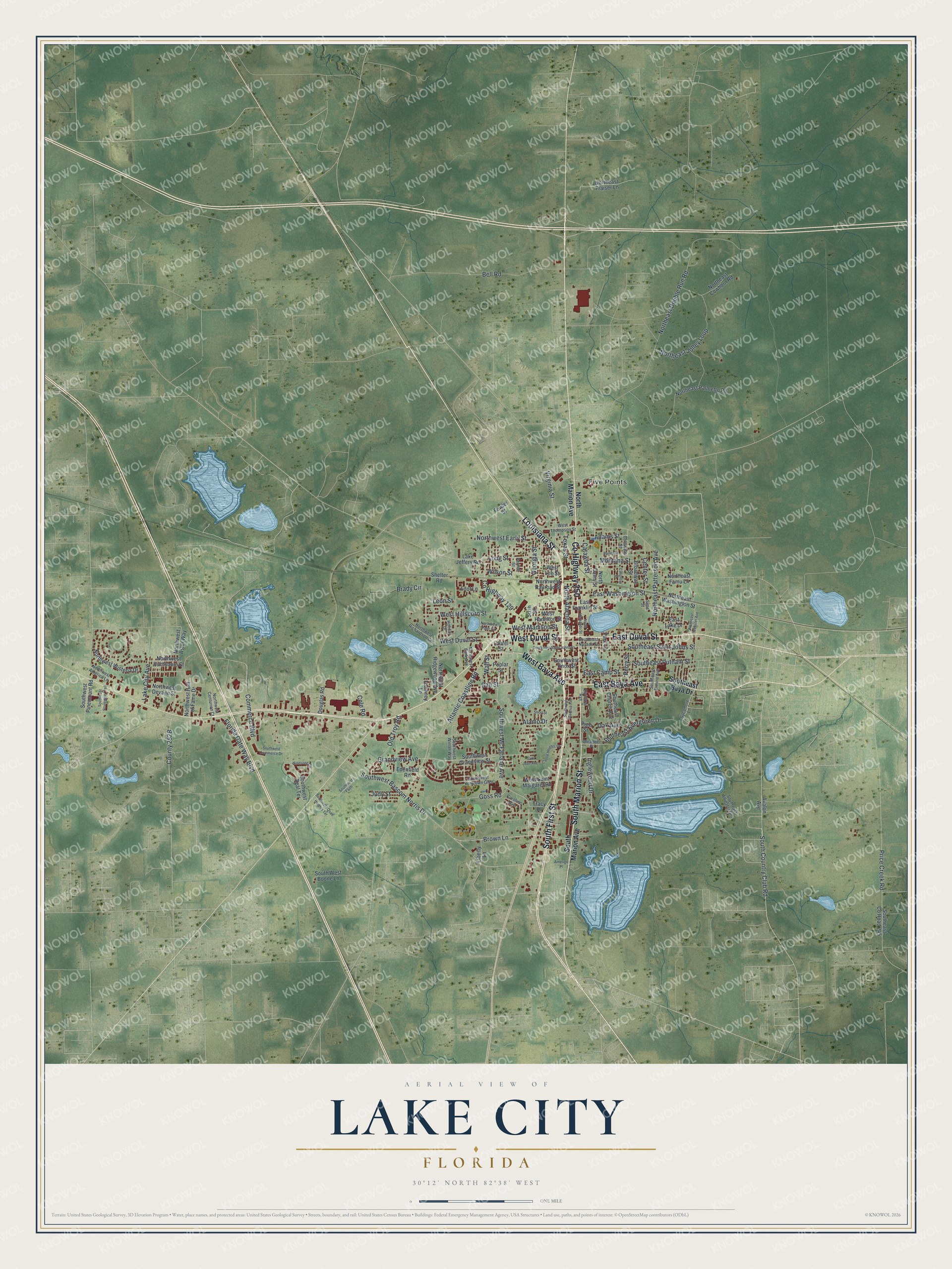
This beautifully detailed map of Lake City, Florida was created in 2026 using aerial imagery combined with modern topographical, census, street and landmark data. It’s a one-of-a-kind view of Lake City that combines accurate data with a vintage aesthetic. The map shows every building in its true location, many of the roads carry their names, and the shaded topographic relief shows the shape of the land.
Explore an aerial view of Lake City, Florida
On the map you’ll find Five Points, along with South First Street, County Highway 250, East Duval Street, East Baya Avenue, West Baya Avenue, West Duval Street, Louisiana Street, South Marion Street, Southwest Bascom Norris Drive, Brown Lane, Inglewood Drive, and more. If you look closely you can even find your house accurately drawn in its correct location. Zoom in on the preview to look for yours.
Did You Know?
American settlers founded a town called Alligator beside a Seminole village after 1821. A railroad from Jacksonville reached Alligator in November 1858, bringing more trade and travelers. In 1859 the town incorporated and changed its name to Lake City. M. Whit Smith was elected its first mayor.
Take a closer look at the Lake City map
Names on this map
These names are printed on this map.
Places: Five Points.
Streets and roads: South First Street, County Highway 250, East Duval Street, East Baya Avenue, West Baya Avenue, West Duval Street, Louisiana Street, South Marion Street, Southwest Bascom Norris Drive, Brown Lane, Inglewood Drive, East Washington Street.
More street names, A to Z
Adams Street, Alamo Drive, Amerigo Place, Atlantic Coastline Road, Avalon Avenue, Bailey Street, Bali Street, Bell Road, Brady Circle, Broadway Street, Caroline Avenue, Castle Heights Drive, Catawba Street, Center Street, Coldwater Street, Cole Road, Commerce Boulevard, Congress Street, County Highway 129, Division Avenue, Douglas Road, East Camp Street, East Franklin Street, East Lake Drive, Edenfield Road, Fdot Lane, Florida Gate Way Boulevard, Fowler Street, Georgia Street, Goss Road, Grandview Avenue, Hackney Lane, Holiday Drive, Judy Street, Lake City Avenue, Lake Jeffery Road, Laurel Street, Leon Street, Liberty Lane, Long Street, Montana Street, North Alachua Street, North Davis Street, Northeast Cowhorn Road, Northeast Double Run Road, Northeast Famu Lane, Northeast Fraiser Lane, Northeast Jolley Loop, Northeast Palmetto Road, Northeast Patterson Avenue, Northeast Washington Street, Northeast Webster Avenue, North Hernando Street, North Marion Avenue, Northwest America Lane, Northwest Astor Way, Northwest Burk Avenue, Northwest Centurion Court, Northwest Devane Street, Northwest Early Street, Northwest Hall of Fame Drive, Northwest Huntsboro Street, Northwest Palm Circle, Northwest Railroad Street, Northwest Richardson Gln, Northwest Ridgewood Avenue, Northwest Wisteria Drive, Oak Avenue, Old Troy Road, Oleander Place, Park Lane, Parnell Street, Perry Street, Pine Street, Poplar Street, Price Creek Road, San Juan Avenue, Shelter Road, Short Street, Sims Street, Sixth Street, South Country Club Road, Southeast Alligator Gln, Southeast Baya Drive, Southeast Church Avenue, Southeast County Road 245, Southeast Ermine Avenue, Southeast Evergreen Drive, Southeast Nassau Street, Southeast Putnam Street, Southeast Saint Johns Street, South Marion Avenue, Southwest Alachua Avenue, South West Boone Lane, Southwest Commerce Drive, Southwest Faith, Southwest Grandview Street, Southwest Knox Street, Southwest McFarlane Avenue, Southwest Pinemount Road, Southwest Quail Heights Terrace, Southwest Real Terrace, Southwest Saint Johns Street, Southwest Stonegate Trail, Southwest Winter Way, Southwest Yorktown Glen, Sycamore Lane, Texas Street, Tracy Place, Virginia Street, Wall Street, West Hamilton Street, West Hillsboro Street, West Lee Street, West Madison Street, West Saint Margaret Road, West Thompson Street, Wilson Street, Windsong Circle.
See it on a wall
The Lake City map as a framed print. Swipe for more.


This beautifully detailed map of Lake City makes an attractive addition to your office, library, or den, and it can even be used to teach children the geography and history of the area. It also makes a great gift for someone who left Lake City and still calls it home. When you’re done exploring, click here to get your copy of the Lake City map.