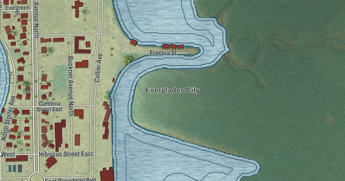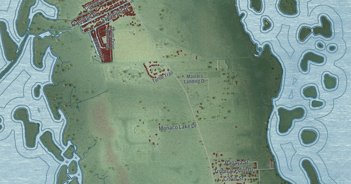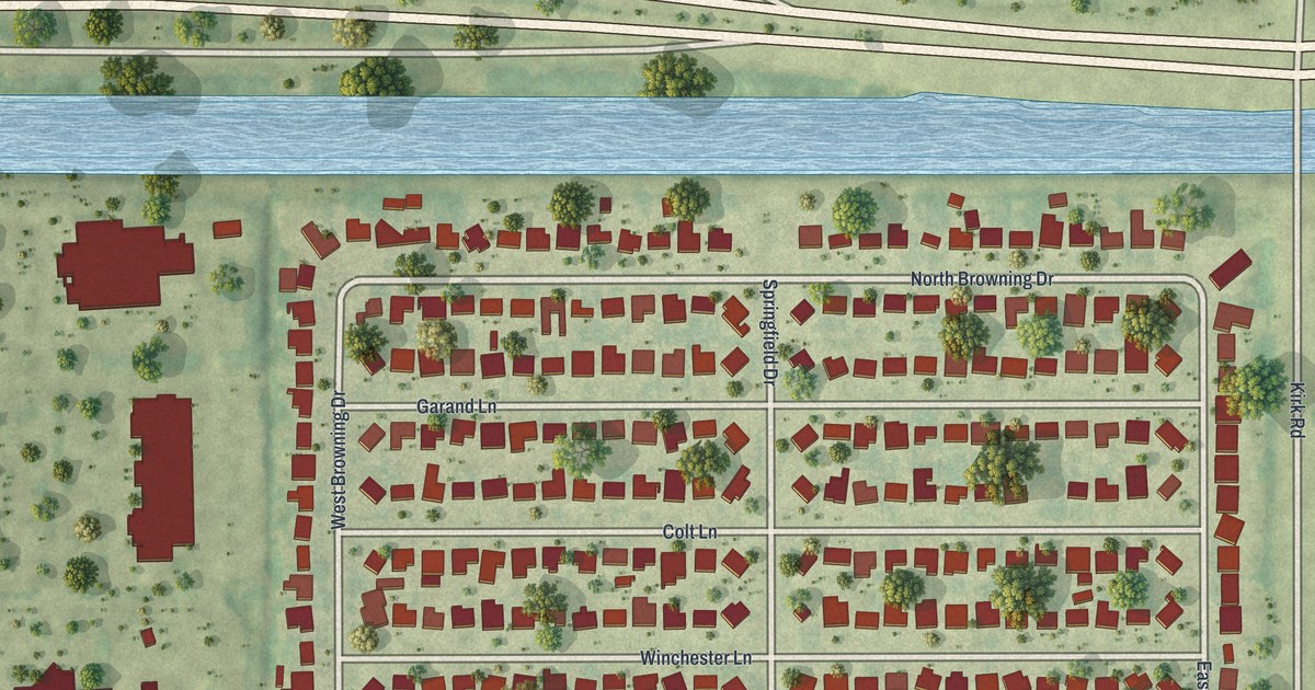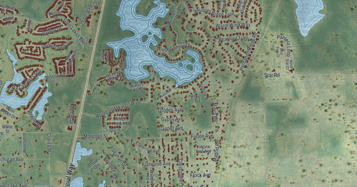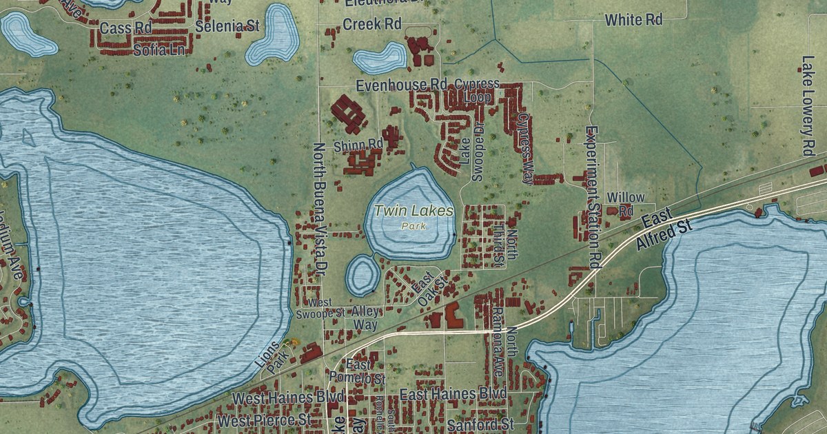
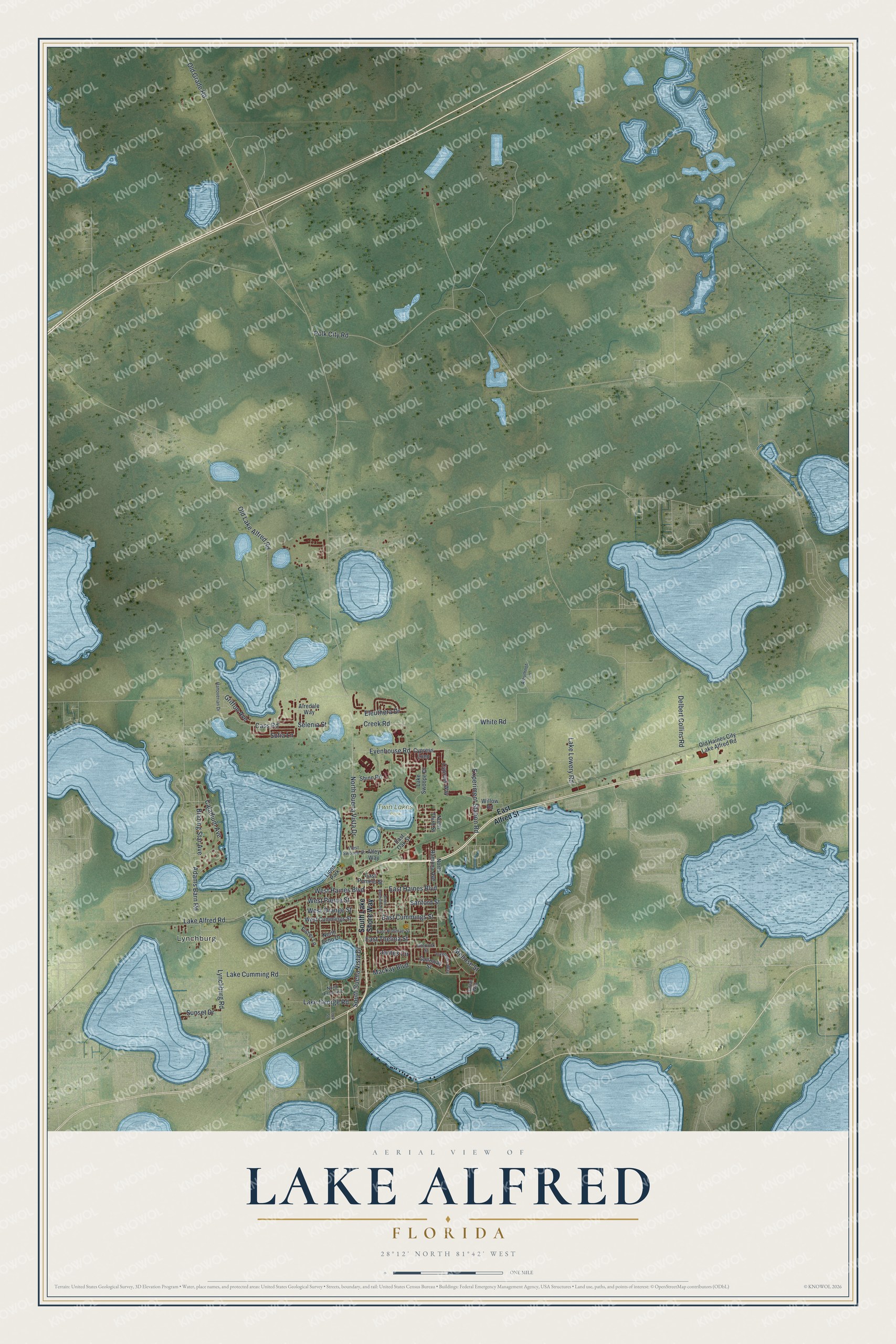
This beautifully detailed map of Lake Alfred, Florida was created in 2026 using aerial imagery combined with modern topographical, census, street and landmark data. It’s a one-of-a-kind view of Lake Alfred that combines accurate data with a vintage aesthetic. The map shows every building in its true location, many of the roads carry their names, and the shaded topographic relief shows the shape of the land.
Explore an aerial view of Lake Alfred, Florida
On the map you’ll find Lynchburg and Twin Lakes Park, along with North Buena Vista Drive, West Pierce Street, Old Lake Alfred Road, Mackay Boulevard, East Cummings Street, Polk City Road, Old Grade Road, Griffon Avenue, Adams Barn Road, Evenhouse Road, and more. If you look closely you can even find your house accurately drawn in its correct location. Zoom in on the preview to look for yours.
Did You Know?
Snowbirds from Fargo, North Dakota, first named the settlement after their hometown. The Postal Service objected after mail kept getting confused with Largo. The town became Chubb and then Bartow Junction. In 1913 it took the name Lake Alfred, from a lake honoring railroad builder Alfred Parslow.
Take a closer look at the Lake Alfred map
Names on this map
These names are printed on this map.
Places: Lynchburg, Twin Lakes Park and Lions Park.
Streets and roads: North Buena Vista Drive, West Pierce Street, Old Lake Alfred Road, Mackay Boulevard, East Cummings Street, Polk City Road, Old Grade Road, Griffon Avenue, Adams Barn Road, Evenhouse Road, Cass Road, Lynchburg Road.
More street names, A to Z
Airedale Way, Alley Way, Arbuthnot Lane, Blazing Star Avenue, Caladium Avenue, Cattail Way, Creek Road, Cypress Loop, Cypress Way, Delbert Collins Road, East Alfred Street, East Haines Boulevard, East Hoffman Street, East Oak Street, East Pomelo Street, East Thelma Street, Eleuthera Drive, Experiment Station Road, Fisher Lane, Galloway Street, Hanoverian Drive, Interlock Street, Inverness Way, James Circle, Lake Alfred Road, Lake Cumming Road, Lake George Road, Lake Lowery Road, Lake Swoope Drive, Lock Street, Melrose Street, North Echo Avenue, North Echo Drive, North Ramona Avenue, North Third Street, Old Haines City Lake Alfred Road, Sanford Street, Selenia Street, Shinn Road, Sofia Lane, South Buena Vista Drive, South Lake Shore Way, South Rochelle Avenue, Sunset Drive, West Cummings Street, West Haines Boulevard, West Orange Street, West Swoope Street, White Road, Willow Road.
See it on a wall
The Lake Alfred map as a framed print. Swipe for more.


This beautifully detailed map of Lake Alfred makes an attractive addition to your office, library, or den, and it can even be used to teach children the geography and history of the area. It also makes a great gift for anyone who grew up in Lake Alfred or moved away. When you’re done exploring, click here to get your copy of the Lake Alfred map.