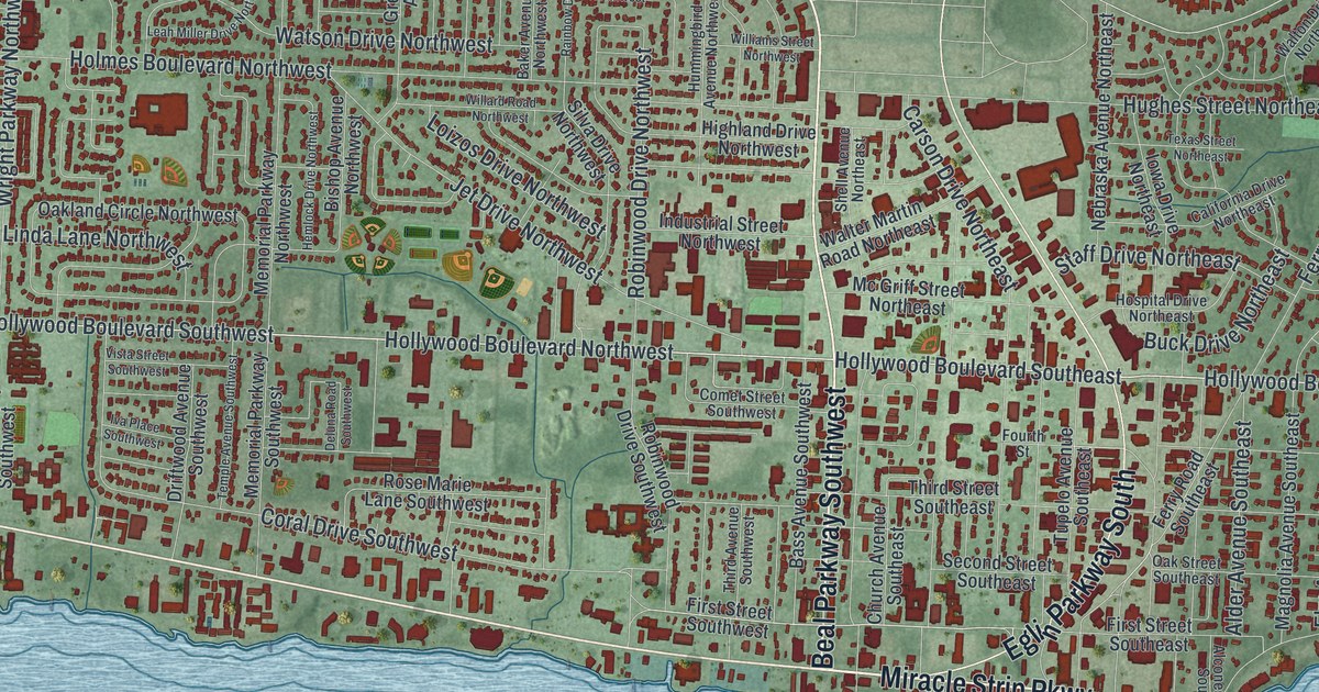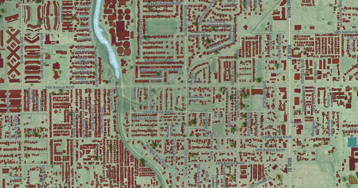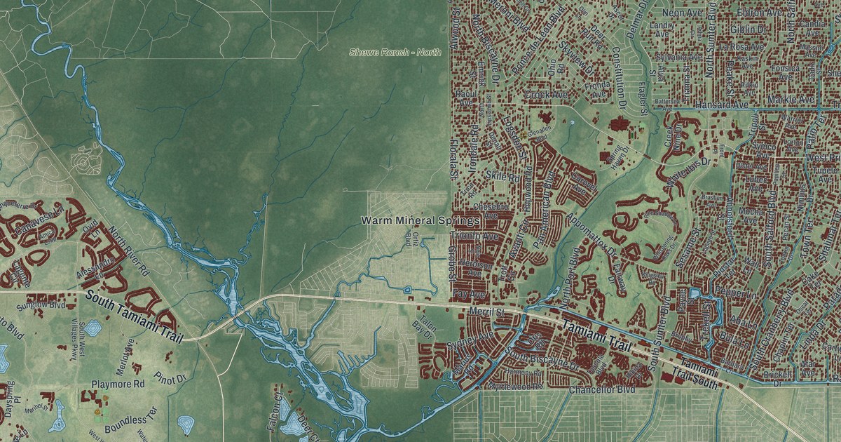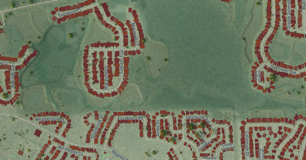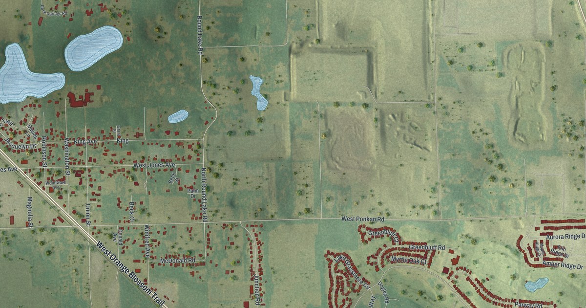
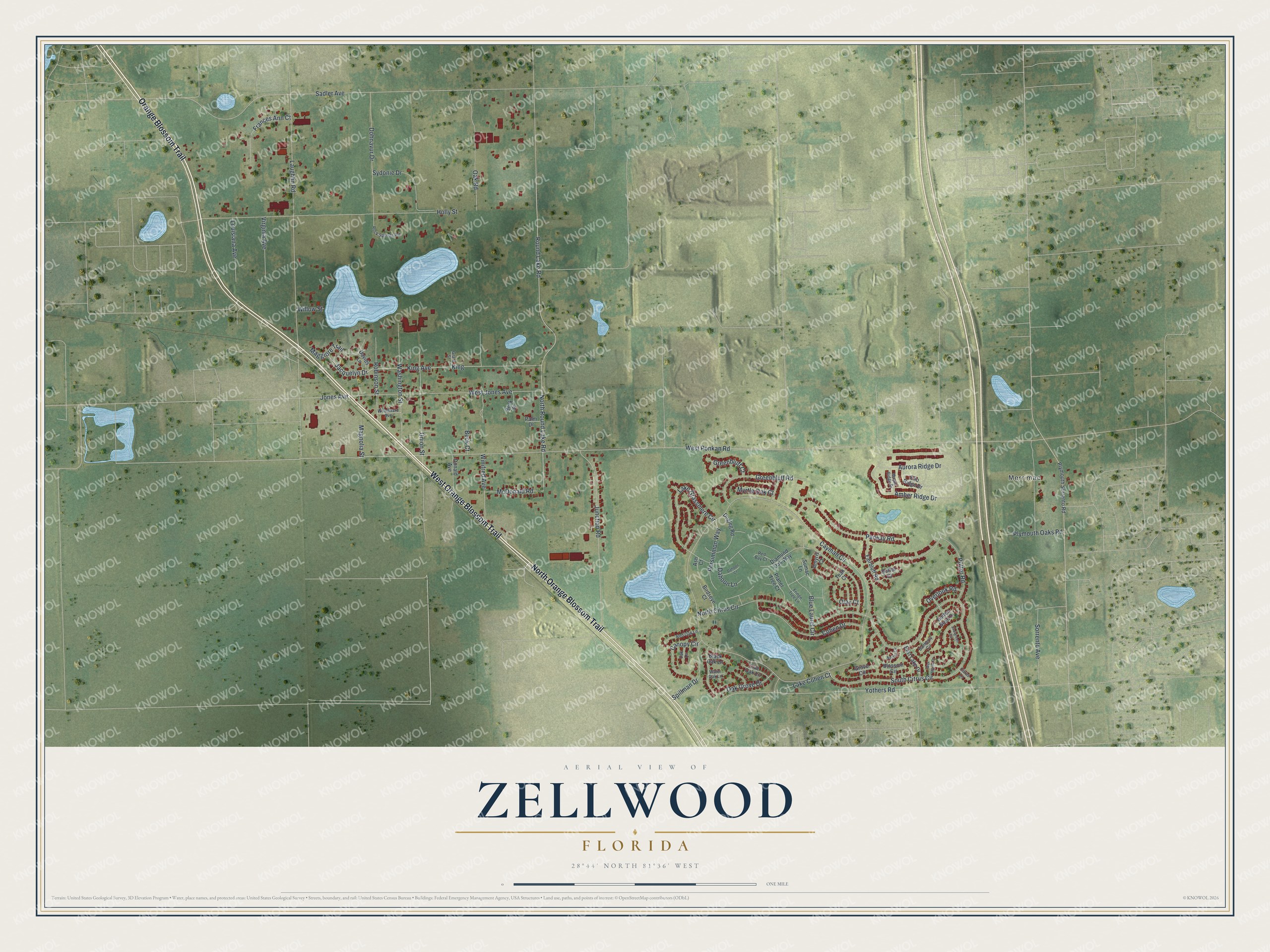
This beautifully detailed map of Zellwood, Florida was created in 2026 using aerial imagery combined with modern topographical, census, street and landmark data. It's a modern aerial view of Zellwood in Orange County, Florida, that combines modern data with a vintage aesthetic. The roads feature printed names, and if you look closely you can find your exact house accurately shown in its correct location.
Explore an aerial view of Zellwood, Florida
On this map you'll find Merrimac, West Orange Blossom Trail, North Orange Blossom Trail, Orange Blossom Trail, West Ponkan Road, King Avenue, King, Lake Grassmere Circle, Cayman Circle, Round Lake Road, Sadler Avenue, Laughlin Road, and more. Each red shape is a building, so zoom in on the preview and look for yours.
Every town has a first chapter, and Zellwood is no exception. Zellwood was named for Col. T. Elwood Zell of Philadelphia, publisher of Zell’s Cyclopedia. He spent the winters of 1875 and 1876 there with his brother-in-law, John A. Williamson, then built his own home. He called it Zellwood, and the community took the name in his honor. That's from the Florida Place Names book.
Zellwood is a community in Orange County. The Census Bureau counted 2,758 people here in 2020. Zellwood sits about 3 miles northwest of Apopka, 5 miles southeast of Tangerine and 6 miles south of Sorrento. The map prints the town name in its title panel, with the coordinates below it.
Take a closer look at the Zellwood map
Names on this map
These names are printed on this map.
Places: Merrimac.
Streets and roads: West Orange Blossom Trail, North Orange Blossom Trail, Orange Blossom Trail, West Ponkan Road, King Avenue, King, Lake Grassmere Circle, Cayman Circle, Round Lake Road, Sadler Avenue, Laughlin Road, North Citrus Circle.
More street names, A to Z
Amber Ridge Drive, Amyris Court, Ash Court, Aurora Ridge Drive, Banberry Circle, Beck Court, Beck Street, Birdseye Court, Black Oak Lane, Blossom Circle, Blue Laurel Circle, Button Bush Drive, Canopy Circle, Citrus Lane, Cohen Drive, Dahoon Court, Dahoon Lane, Davids Lane, Diamond Oak Way, Dogleg Road, Dohnavur Drive, Donald Avenue, Duffer Court, East Lake Drive, Elio Ridge Drive, Evergreen Circle, Fairbluff Road, Frances Ann Court, Fringe Tree Lane, Grant Street, Greenbluff Court, Greenbluff Road, Grove Circle, Holly Street, Jacquelyn Drive, Jones Avenue, Junction Road, Lake Cohen Court, Live Oak Lane, Louisiana Avenue, Maggiore Trail, Magnolia Street, Maple Ridge Drive, McDonald Road, Myrtle Oak Court, Nectar Circle, North Round Lake Road, Oak Grove Drive, Oak Lane, Oak Road, Olax Court, Overlook Road, Palm Drive, Parway Road, Persimmon Way, Planer Tree Court, Plymouth Oaks Road, Plymouth Sorrento Road, Putter Road, Red Bay Court, Red Oak Lane, Robinson Street, Rock Springs Road, Sorrento Avenue, South Citrus Circle, Spillman Drive, Sumac Lane, Sydonie Drive, Teak Court, Union Street, Virginia Avenue, Washington Street, Water Oak Lane, Wax Myrtle Drive, West Jones Avenue, Willow Street, Winifred Avenue, Woodward Avenue, Yothers Road.
See it on a wall
The Zellwood map as a framed print. Swipe for more.


Created by KNOWOL in 2026. The buildings are small red shapes, the roads carry their printed names, and shaded relief shows the shape of the land. The title panel reads "AERIAL VIEW OF ZELLWOOD, FLORIDA" with 28°44' NORTH 81°36' WEST.
Hang it in the hallway, the office or the cabin, or give it to someone who left Zellwood and still calls it home. Open the preview and look for a street you know. See sizes and frames for the Zellwood map.